Zhenets tract – Zhenetskyi Huk Waterfall
Unmarked trailmore
It may be partly marked. Unmarked trails have no information boards, signposts or auxiliary signs (water, campsite, etc.). The decision to walk the trail is entirely your own responsibility.
Trail map
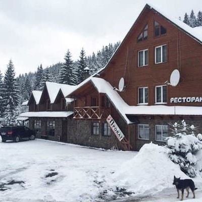
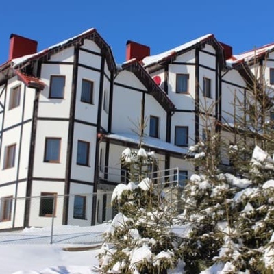
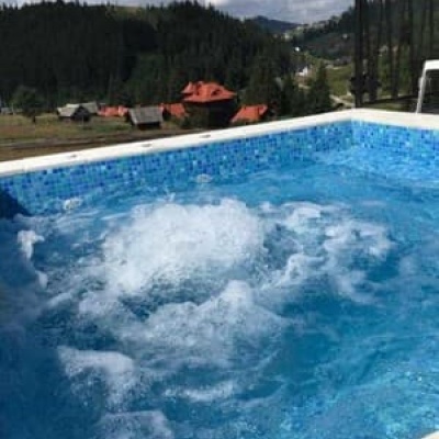
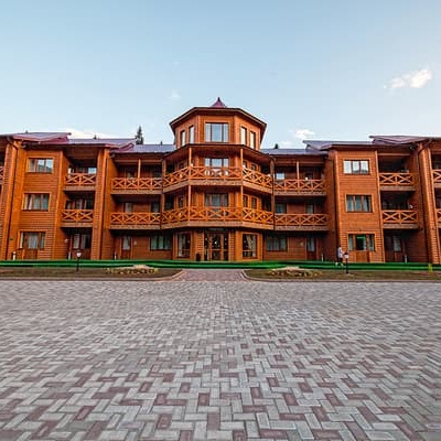
Where to stay nearby
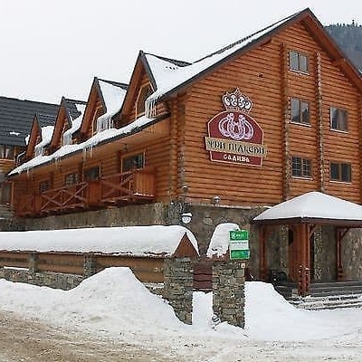
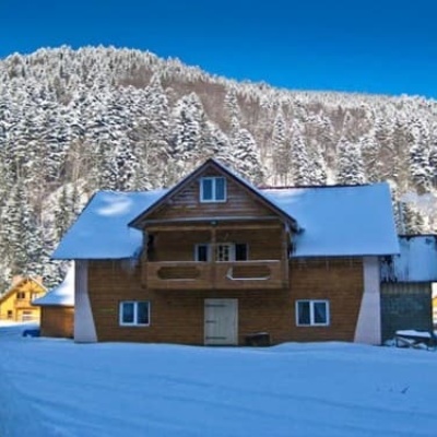
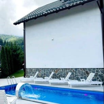
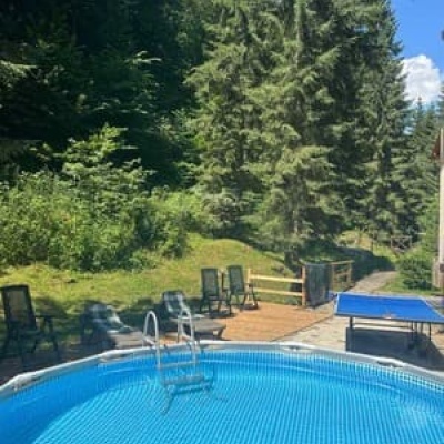
About the trail
Route Zhenets tract – Zhenetskyi Huk Waterfall. Along the route you will see: Narinetskyi waterfall, Mykulychyn, Zhenetsky Hook waterfall.
The most popular route is the ecological and educational trail "Zhenets–Huk", which runs along the Zhenets stream. Prepare for a journey of 8 km, which takes almost 4 hours. Don’t let that scare you, as half of the road is paved. Moreover, the surrounding landscapes and the Zhenets river will keep you entertained. By the way, you need to keep moving along the river. On the way, you will see the residence of the former President of Ukraine V. Yushchenko. The area is privately owned and under protection. Following the signs and the sound of the waterfall, you will easily reach your destination.
At a glance
A short route of 7 km with 423 m of ascent from Zhenets tract to Zhenetskyi Huk Waterfall. Estimated walking time: about 2.5 h, not counting stops. Difficulty: easy. Waymarking is missing or partial.
Route stages
- 0–5.5 kmClimb of 240 m to Zhenetsky Hook waterfall
- 5.5–7 kmGentle ups and downs at 820–890 m
Steepest kilometre: km 4.5–5.5, a climb of 90 m (≈9%), near Zhenetsky Hook waterfall.
Water and overnight stays
Springs near the trail: at km 0.5, 3.5, 5 and 6.5. Some springs run low or dry up in late summer.
Places to stay near the start and finish: Mykulychyn.
When to go
The route can be walked most of the year; it is most comfortable from April to October.
Getting there
Start: Zhenets tract. Most places to stay near the start are in Mykulychyn. This is a one-way route: the finish is 3 km from the start in a straight line, so plan your way back in advance.
FAQ
- How long does the route take?
- Estimated walking time: about 2.5 h, not counting stops.
- Is there water on the route?
- Springs near the trail: at km 0.5, 3.5, 5 and 6.5. Some springs run low or dry up in late summer.
- Where can I stay overnight?
- Places to stay near the start and finish: Mykulychyn.
Water and shelter on the route
- Spring (Tatariv, 4)km 0.4 from the start · 120 m off the path · Not verified · 652 m
- Spring (Tatariv, 2)km 3.3 from the start · 240 m off the path · Not verified · 831 m
- Spring (Tatariv)km 4.9 from the start · Not verified · 836 m
- Spring below Mount Khomiak (6)km 6.2 from the start · Dried up · 803 m
Comments
What to see on the trail
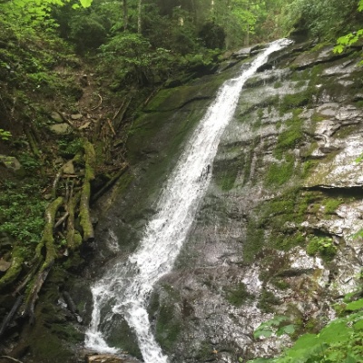 Narinetskyi waterfall, Mykulychynaltitude 622 mNarinetskyi Waterfall is a waterfall in the Ukrainian Carpathians, on the Noretskyi Stream (a left tributary of the Zhenets River).
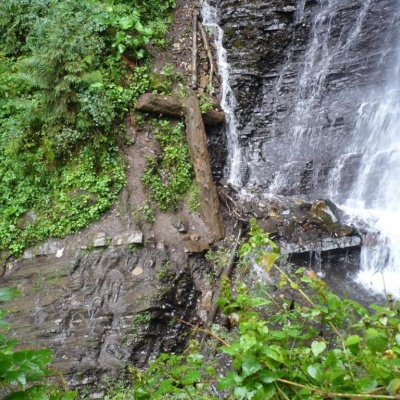 Zhenetsky Hook waterfallaltitude 622 mZhenetskyi Huk is one of the most convenient Carpathian waterfalls for tourists, as it is accessible by a direct, asphalt road.
Trails nearby
All trails HardMulti-dayMarkedEast Carpathian Tourist TrailElevation profile635–1 819 m278.1 kmascent 14 105 m
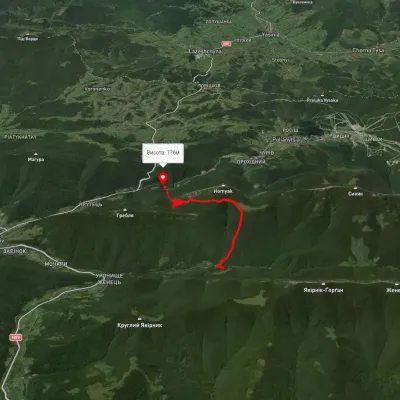 ModerateOne-dayMarkedZhynets tract road to Bukovelvia Khomiakiv polonynaElevation profile786–1 385 m7.7 kmascent 846 m≈ 3.5 h walking
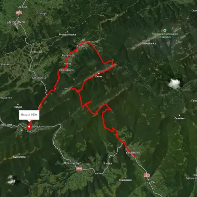 HardMulti-dayUnmarkedYaremche to Tatariv villagevia the Yavirnyk ridge, Zhenetskyi Huk Waterfall +4Elevation profile510–1 658 m46.8 kmascent 2 435 m