Bukowina – Zubrzyca Dolna
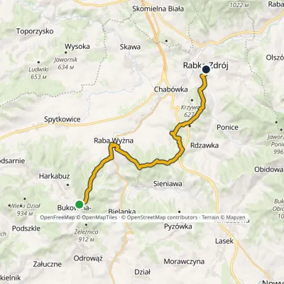
Trail map
Route, springs and shelters: © OpenStreetMap contributors (ODbL) · elevation: Copernicus DEM © DLR e.V., © Airbus DS · Data & licences
About the trail
Route Bukowina – Zubrzyca Dolna. Has yellow marking (regional route, PTTK). Waymarking data: OpenStreetMap (© OpenStreetMap contributors, ODbL).
Officially marked regional tourist route. The marking is yellow, the sign is a horizontal stripe on a white background. Marked and maintained by: PTTK. Length of the route — 16.2 km. Location: mountain range — Żywiec Beskids, Poland.
At a glance
A one-day route of 16.2 km with 364 m of ascent from Bukowina to Zubrzyca Dolna. Estimated walking time: about 4.5 h, not counting stops. Difficulty: moderate. Waymarking: yellow.
How we estimate walking time
By Naismith's rule, used by mountain clubs and guidebooks: an average hiker walks 4 km an hour on the flat and needs one more hour for every 600 m of ascent. For this trail: 16.2 km ÷ 4 = 4.1 h + 364 m ÷ 600 = 0.6 h, about 4.5 h of walking in total.
- Breaks, snacks and photos: add 20–30 %.
- A heavy pack, children, snow, a wet path or windfall add more; a long steep descent also takes time, especially for the knees.
- The height of the Carpathians (up to 2,655 m) hardly changes the pace — on the ridges wind, fog and weather slow you down.
- Limits: up to 9 h is one day; 9–13 h is a very long day or two; over 13 h means several days with overnight stays.
Route stages
- 0–6 kmGentle ups and downs at 750–890 m
- 6–7 kmClimb of 110 m (up to 867 m)
- 7–10 kmGentle ups and downs at 850–900 m
- 10–13 kmDescent of 220 m (down to 644 m)
- 13–15 kmClimb of 140 m (up to 789 m)
- 15–16 kmDescent of 120 m to Zubrzyca Dolna
Steepest kilometre: km 10–11, a descent of 120 m (≈12%).
Water and overnight stays
Our map shows no springs near the trail — bring your own water (at least 2.5 l).
When to go
The route can be walked most of the year; it is most comfortable from April to October.
Getting there
Start: Bukowina. This is a one-way route: the finish is 13 km from the start in a straight line, so plan your way back in advance.
FAQ
- How long does the route take?
- Estimated walking time: about 4.5 h, not counting stops.
- Is there water on the route?
- Our map shows no springs near the trail — bring your own water (at least 2.5 l).
Comments and trail condition
Travellers’ experience: reports, tips, questions.
No one has reported on this trail yet. Been here lately? Tell others what it is like now.
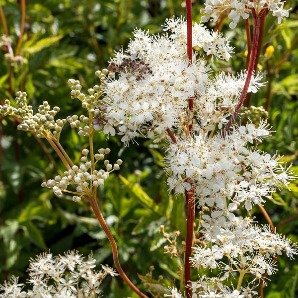
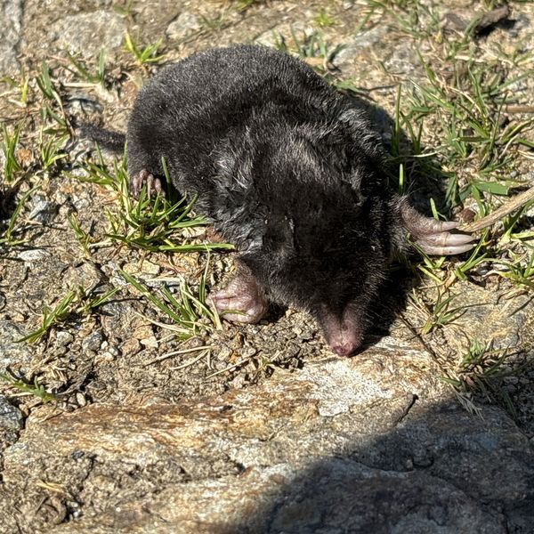
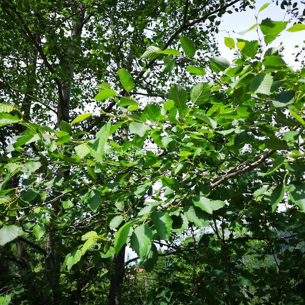
Wildlife along the route
All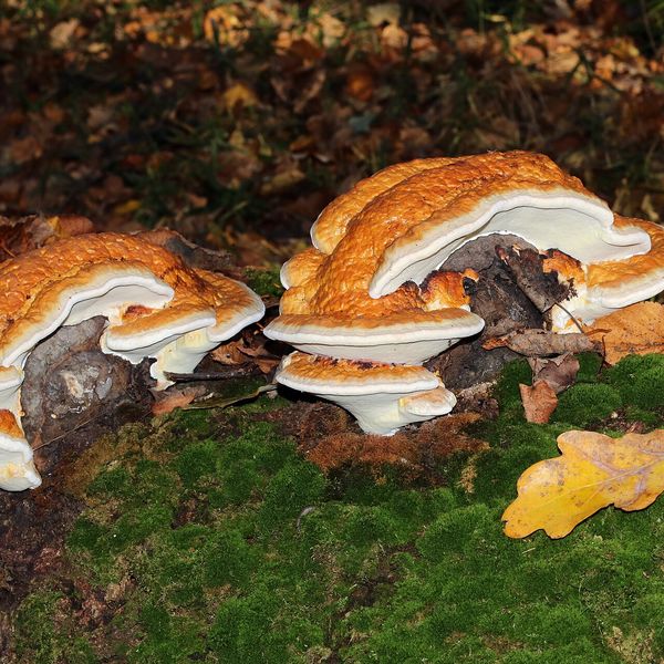
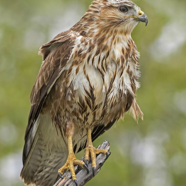
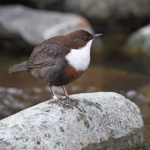
- Adders live here — what to do after a bite
- Mushroom season — but never identify a mushroom from a photo alone
Based on naturalists’ records nearby (GBIF, iNaturalist), matched by altitude, habitat and season. Sightings are not guaranteed.
Trails nearby
All trails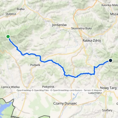
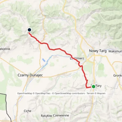
Craft nearby
All craft places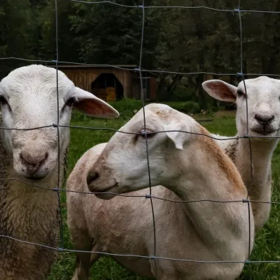 Eco farmsOrawskie Ranczo Educational Farm, Harkabuz: animals and craft workshopsHarkabuz2.2 km from the trailOrawskie Ranczo is a small family educational farm (zagroda edukacyjna) in the village of Harkabuz near Raba Wyżna, where Orawa meets Podhale.
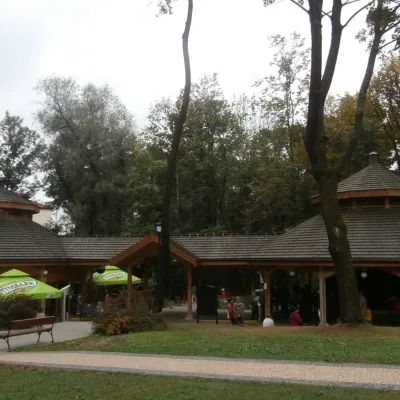 Water parks & thermal poolsRabka-Zdrój spa: brine graduation tower, pump rooms, treatmentsRabka-Zdrój12 km from the trailRabka-Zdrój is a spa in the Raba valley between the Gorce, the Beskid Wyspowy and the Beskid Makowski, halfway from Kraków to Zakopane.
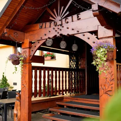 Koliby & Hutsul cuisineKarcma u Borzanka, Nowy Targ: highland food in an 18th-century innNowy Targ15 km from the trailKarcma u Borzanka is a highland tavern in the oldest coaching inn of Nowy Targ, the capital of Podhale.
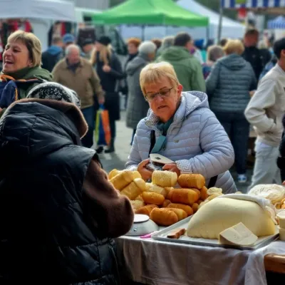 Markets & fairsNowy Targ Fair (Nowa Targowica)Nowy Targ15 km from the trailThe fair in Nowy Targ is the largest and oldest market in Podhale. On Thursdays and Saturdays highlanders from the surrounding villages, Slovaks from across the border...
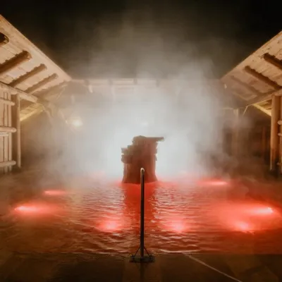 Water parks & thermal poolsTermy Gorący Potok (Szaflary)Bańska Niżna18 km from the trailTermy Gorący Potok is a complex of outdoor thermal pools in Szaflary, between Nowy Targ and Zakopane, about 15 km from Zakopane.
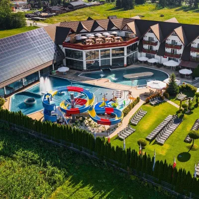 Water parks & thermal poolsTermy Szaflary (Termy Podhalańskie)Bańska Niżna18 km from the trailTermy Szaflary is a thermal complex in the village of Szaflary, between Nowy Targ and Zakopane. It used to be known as Termy Podhalańskie, a name still found in older...
