Okrąglica (Polica Range)
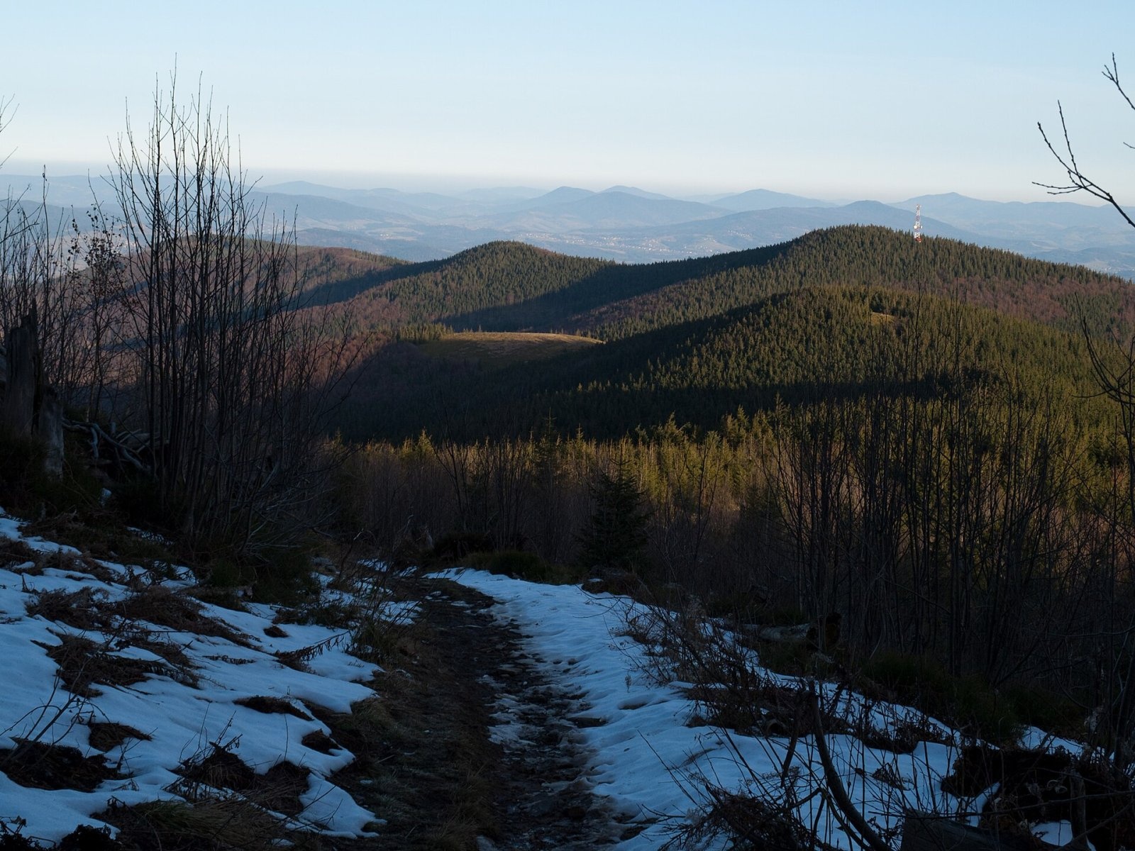
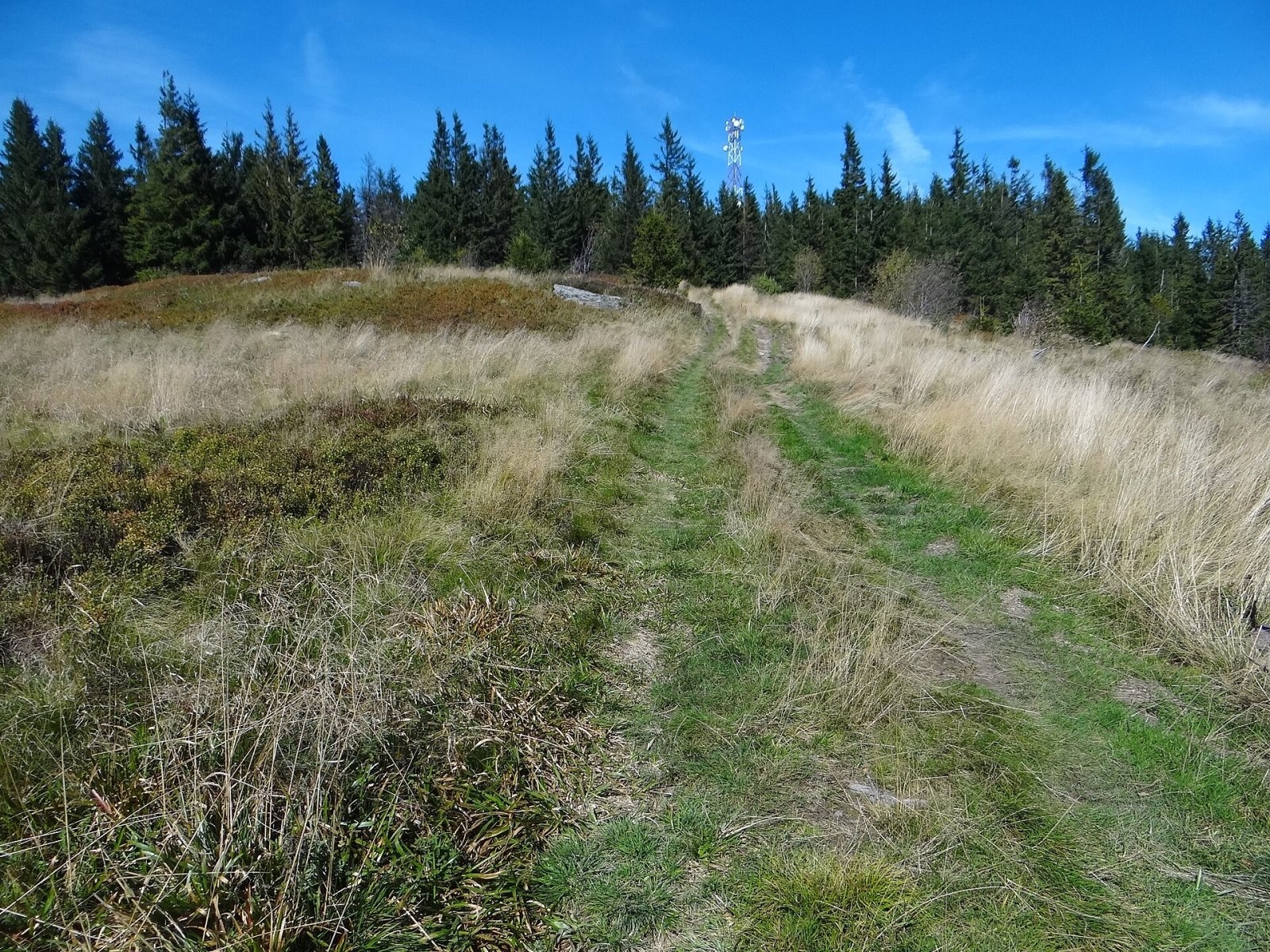
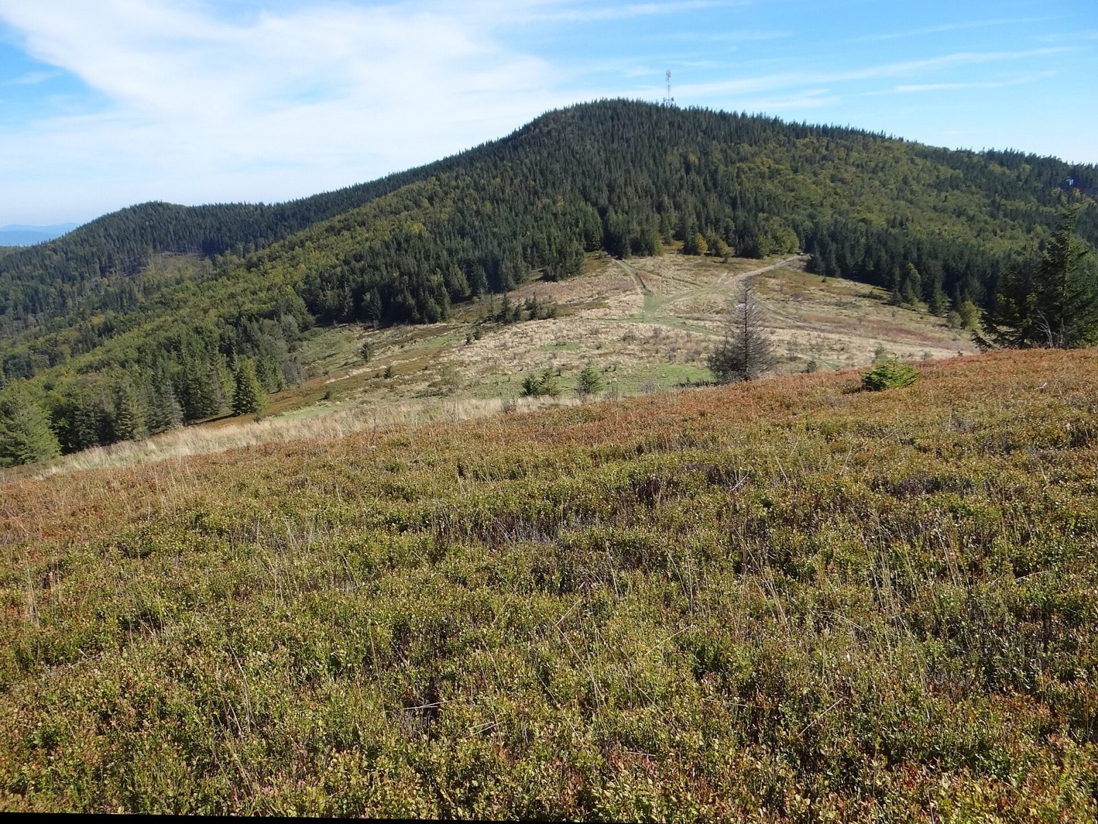
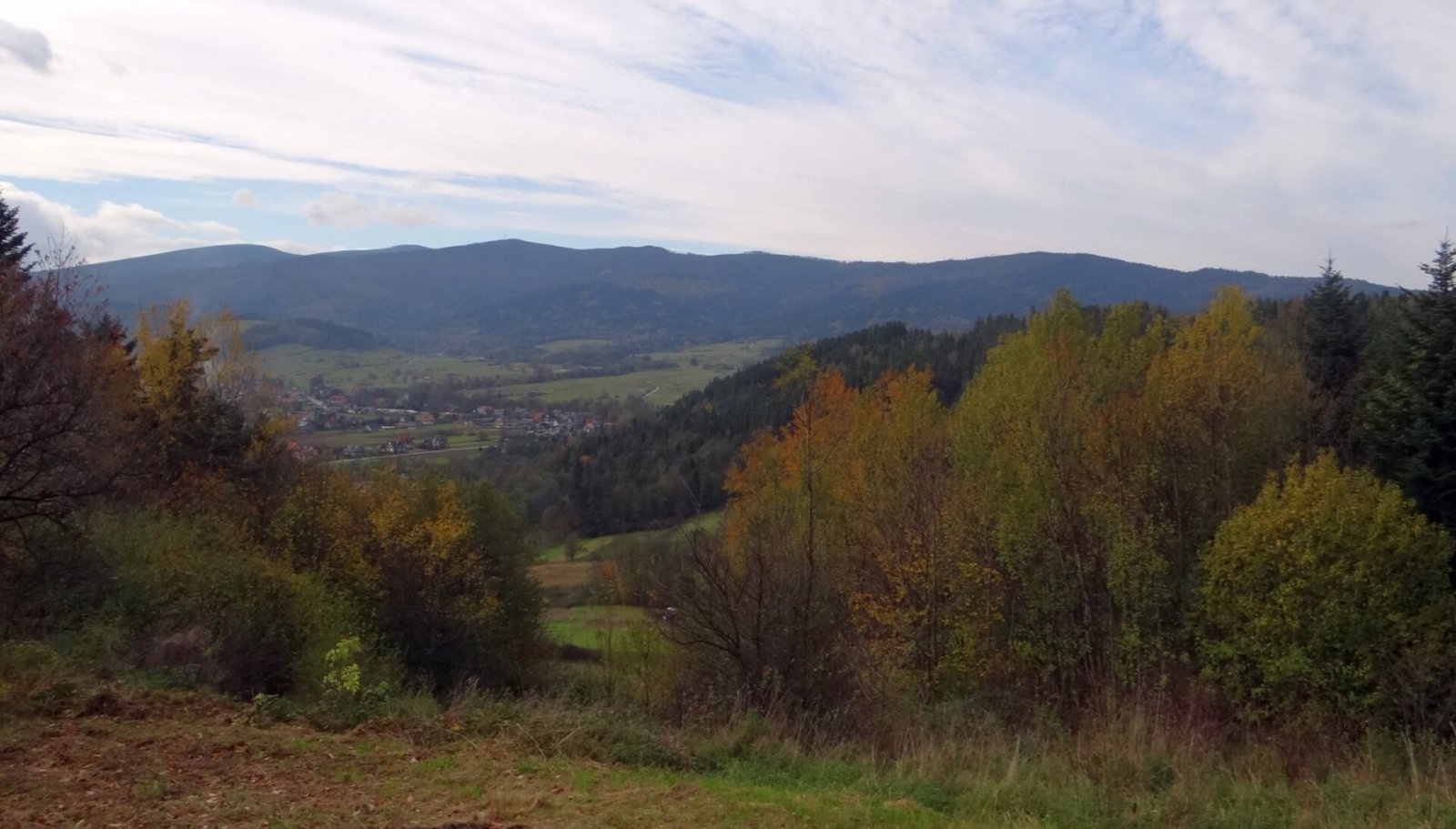
Okrąglica (also Krupowa Hala) is a 1,239 m summit in the Polica Range in southern Lesser Poland. In Jerzy Kondracki's physico-geographical regionalisation the range belongs to the Żywiec Beskids, in the newer 2018 regionalisation to the Żywiec-Orava Beskids; the Krowiarki pass separates it from neighbouring Babia Góra. The summit lies on the main ridge of the range between the Kucałowa Pass (1,148 m) and an unnamed 1,137 m top. The boundary between the villages of Skawica (northern slope, Zawoja commune) and Sidzina (southern slope, Bystra-Sidzina commune) in Sucha County runs over it. Its prominence, according to Polish Wikipedia, is 91 m.
From the summit a side ridge runs south-east to the Ciśniawa valley between the Zakulawka and Kamycki Potok valleys; about halfway down stands Kordelka (1,025 m), and in its upper part lies the large Hala Krupowa pasture. The headwaters of the Skawica Sołtysia flow from the northern slopes. Near the summit there are crevices and small caves that give the area a wild look.
How to get there / trails
No marked trail crosses the summit itself. The nearest is the red Main Beskid Trail east of the Kucałowa Pass, which traverses the southern slope; from it a forest track leads up to a small clearing with a chapel and a transmitter. The section Jordanów – Bystra Podhalańska – Drobny Wierch – Judaszka – Malinowe pass – Naroże – Soska – Krupówka – Urwanica – Okrąglica – Kucałowa Pass involves 830 m of ascent and takes about 5 h (4 h 15 min back).
The other trails to the Kucałowa Pass run lower down on the northern and southern slopes. The green trail from the "Sidzina Dom Dziecka" bus stop via Hala Krupowa reaches the Kucałowa Pass in 3 h 30 min (2 h 45 min down). On the pass, on the Sidzińskie Pasionki pasture, stands the PTTK hut "Na Hali Krupowej".
What you can see from the summit
The best view is not from the wooded top but from Hala Krupowa on the south-eastern ridge. The panorama takes in the Gorce, the Tatras, the Choč Mountains and the Orava Basin with Orava Lake, and below them the hills of the Orava-Podhale Beskids, among which Bukowiński Dział with its TV mast stands out.
Nature and history
Hala Krupowa, also called Hala Sidzińska, was grazed until the 1980s; a shepherd's hut still stands in its lower part. Since grazing stopped, natural secondary succession has begun — the clearing is first being overgrown with bilberry. Trail signs and sometimes guidebooks wrongly give the name Hala Krupowa to two other pastures on the Kucałowa Pass — Hala Kucałowa and Sidzińskie Pasionki.
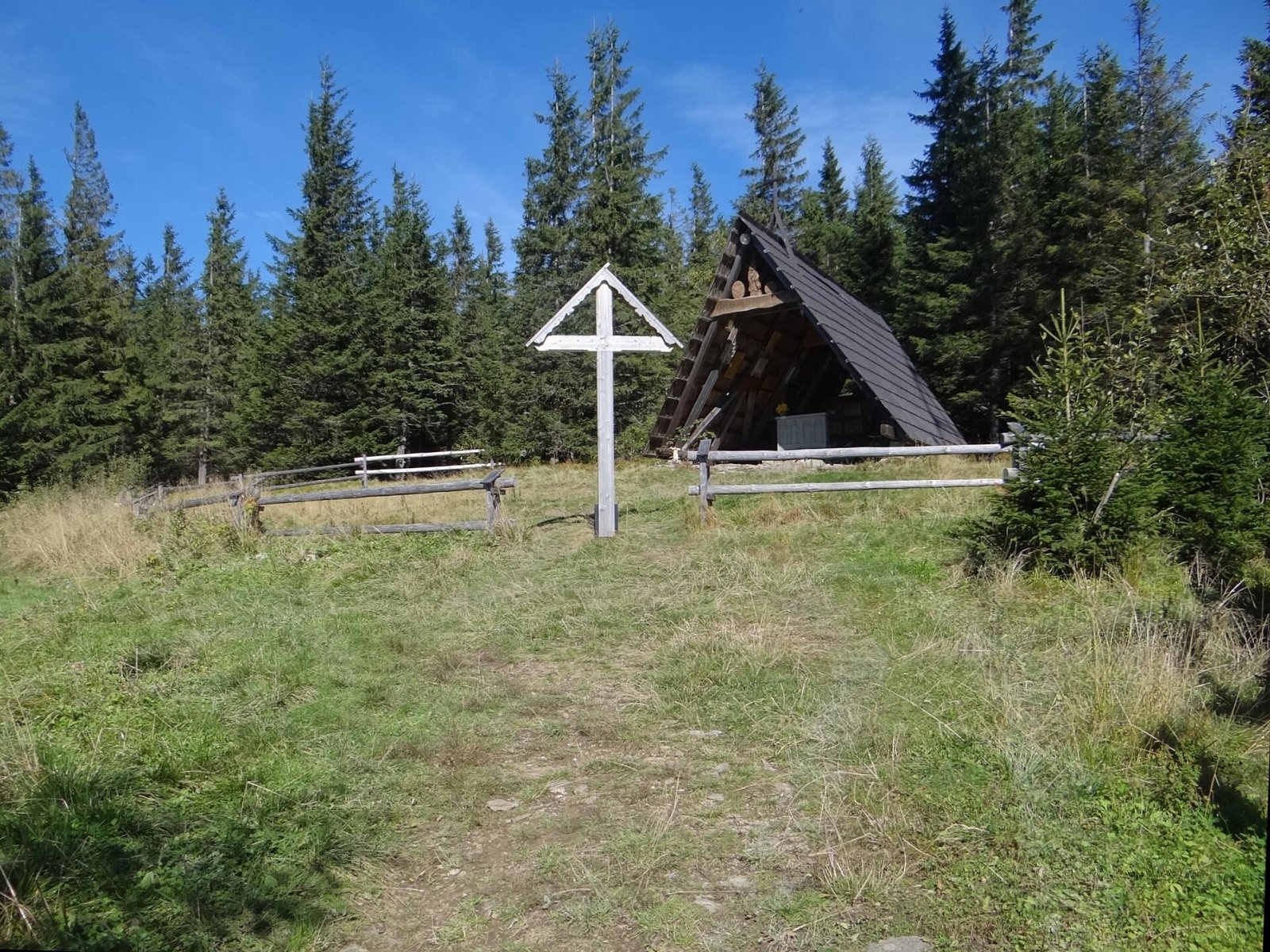
Just below the summit, reached by an unmarked path, stand the chapel of Our Lady, Protector of Tourists, and a telecommunications mast. The chapel, shaped like a shepherd's hut, was built secretly in May 1987, and for a long time the path to it was known only to the initiated. Inside are epitaphs commemorating deceased mountain people; every year on the first Sunday of October a mass is held here for participants of a hikers' rally of the Kraków branch of PTTK.
Safety, season and rules
Okrąglica can be visited all year and has no difficult sections, but the summit is reached by an unmarked path, so it is easy to go astray in fog and in winter. There are crevices near the top — stay on the path. In winter deep snow covers the pastures. The neighbouring Babia Góra National Park begins west of the Krowiarki pass and has its own rules; Okrąglica lies outside it. Mountain rescue in the Beskids is provided by GOPR: 985 or +48 601 100 300, plus the general emergency number 112.
Photos: Rafał Kozubek, CC BY-SA 4.0; Jerzy Opioła, CC BY-SA 4.0; Jerzy Opioła, CC BY-SA 4.0; Jerzy Opioła, CC BY-SA 4.0; Jerzy Opioła, CC BY-SA 4.0; Rafał Kozubek, CC BY-SA 4.0 — Wikimedia Commons.
Getting there from Ukraine
Border crossings
- Krakovets – Korczowa — road, 24/7
- Shehyni – Medyka — road, 24/7 Pedestrian crossing is not confirmed by the Ukrainian border service — check dpsu.gov.ua before the trip.
- Smilnytsia – Krościenko — road, 24/7
- Hrushiv – Budomierz — road, 24/7
- Mostyska – Przemyśl (rail) — rail, 24/7
By car
Lviv – Żywiec ≈412 km, ≈5 h 30 min without queues or tolls: M-10 → Krakovets – Korczowa → A4 to Kraków (≈249 km) → DK52 via Wadowice → DW781 and DW946 to Żywiec. ≈333 km, ≈4 h from the border. Alternative via the tolled A4 Kraków – Katowice and the S1 via Tychy and Bielsko-Biała: ≈457 km, ≈5 h 25 min.
Checked 23.10.2026; border crossing hours and timetables change — check before you travel.
Location on the map
Water and shelter nearby
- Spring below Okrąglica390 m · Not verified · 1 115 m
- Hut on Hala Krupowa670 m · Not verified · 1 124 m
- Spring below Kocia Łapa730 m · Not verified · 1 131 m
- Hala Krupowa Hut760 m · Standing · 1 152 m
- Hut below Kordelka1.4 km · Not verified · 891 m
Comments
Trails nearby
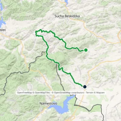
All trails HardMulti-dayMarkedMain Trail of BeskidyElevation profile309–1 723 m499.9 kmascent 19 519 munder 1 km from Okrąglica (Polica Range)
 HardMulti-dayMarkedSidzina JabłonkaElevation profile507–1 723 m74.1 kmascent 3 189 munder 1 km from Okrąglica (Polica Range)
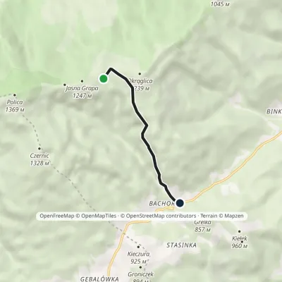 EasyOne-dayMarkedHala Krupowa Sidzina-Wielka PolanaElevation profile758–1 172 m3.6 kmascent 29 m≈ 60 min walkingunder 1 km from Okrąglica (Polica Range)
Nearby attractions
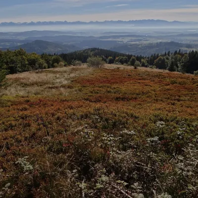 Mountain meadowHala KrupowaSidzinaaltitude 1 152 munder 1 km from Okrąglica (Polica Range)Hala Krupowa is a former pasture in the Polica Range (Pasmo Policy) of the Żywiec Beskids (in the newer regionalisation, the Żywiec-Orawa Beskids), above the village...
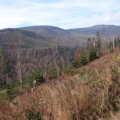 PeakCzernicZubrzyca Górnaaltitude 1 317 m2.5 km from Okrąglica (Polica Range)Czernic (on hiking maps also Czyrniec) is a 1317 m summit in the Polica Range in southern Poland. In Jerzy Kondracki's classic physical-geographic division the range...
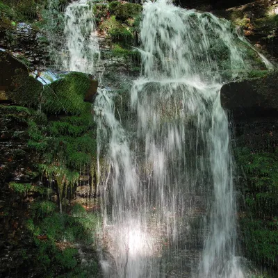 WaterfallWaterfall on the Mosorny PotokZawoja6.6 km from Okrąglica (Polica Range)The waterfall on the Mosorny Potok (Wodospad na Mosornym Potoku), also called Mosorczyk, is one of the highest natural waterfalls of the Polish Beskids.
Craft nearby
All craft places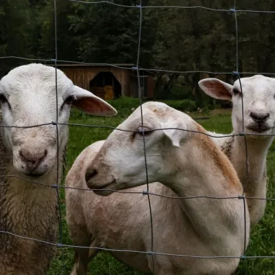 Eco farmsOrawskie Ranczo Educational Farm, Harkabuz: animals and craft workshopsHarkabuz16 km from Okrąglica (Polica Range)Orawskie Ranczo is a small family educational farm (zagroda edukacyjna) in the village of Harkabuz near Raba Wyżna, where Orawa meets Podhale.
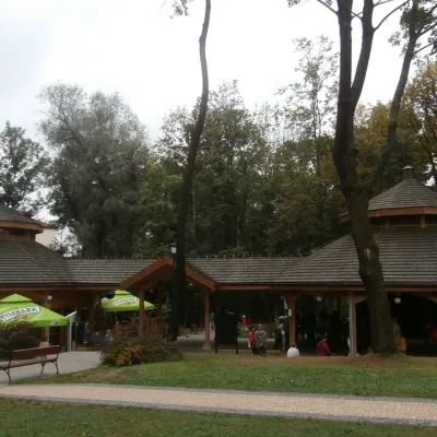 Water parks & thermal poolsRabka-Zdrój spa: brine graduation tower, pump rooms, treatmentsRabka-Zdrój22 km from Okrąglica (Polica Range)Rabka-Zdrój is a spa in the Raba valley between the Gorce, the Beskid Wyspowy and the Beskid Makowski, halfway from Kraków to Zakopane.
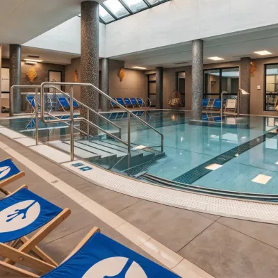 Water parks & thermal poolsTermy Gorce thermal bathsNiedźwiedź30 km from Okrąglica (Polica Range)Termy Gorce is a small, cosy thermal complex in the village of Poręba Wielka, in the municipality of Niedźwiedź, at the foot of the Gorce Mountains.
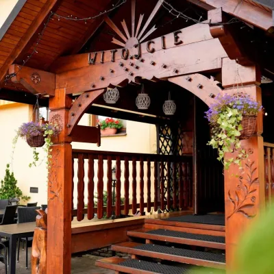 Koliby & Hutsul cuisineKarcma u Borzanka, Nowy Targ: highland food in an 18th-century innNowy Targ32 km from Okrąglica (Polica Range)Karcma u Borzanka is a highland tavern in the oldest coaching inn of Nowy Targ, the capital of Podhale.
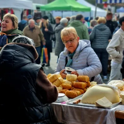 Markets & fairsNowy Targ Fair (Nowa Targowica)Nowy Targ33 km from Okrąglica (Polica Range)The fair in Nowy Targ is the largest and oldest market in Podhale. On Thursdays and Saturdays highlanders from the surrounding villages, Slovaks from across the border...
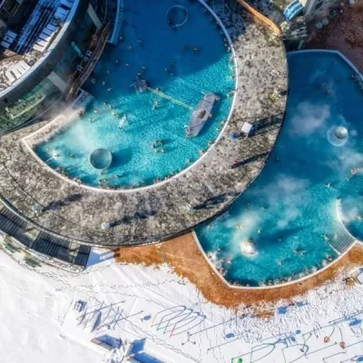 Water parks & thermal poolsChochołowskie TermyChochołów33 km from Okrąglica (Polica Range)Chochołowskie Termy stand in the village of Chochołów in the Podhale region, north-west of Zakopane and not far from the Slovak border.
