Sucha County
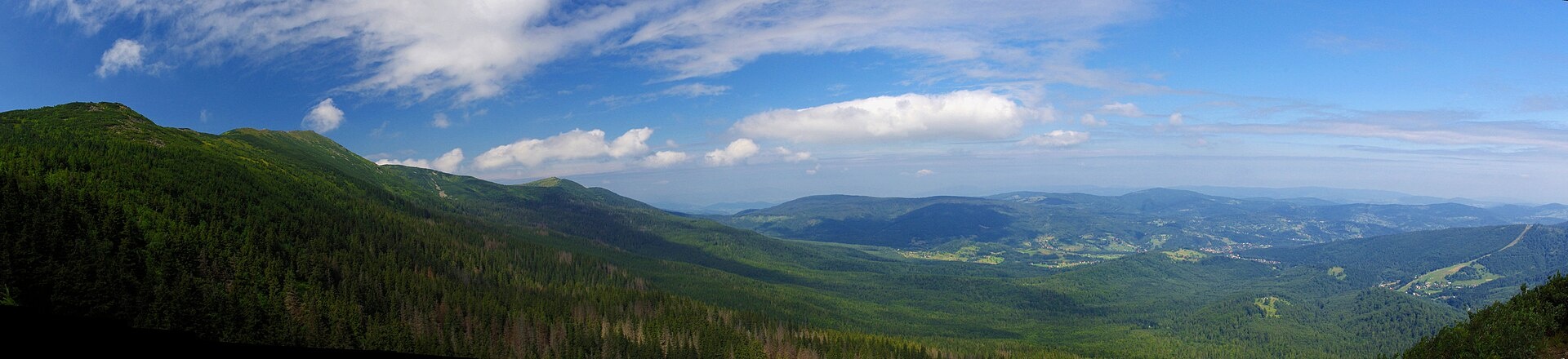
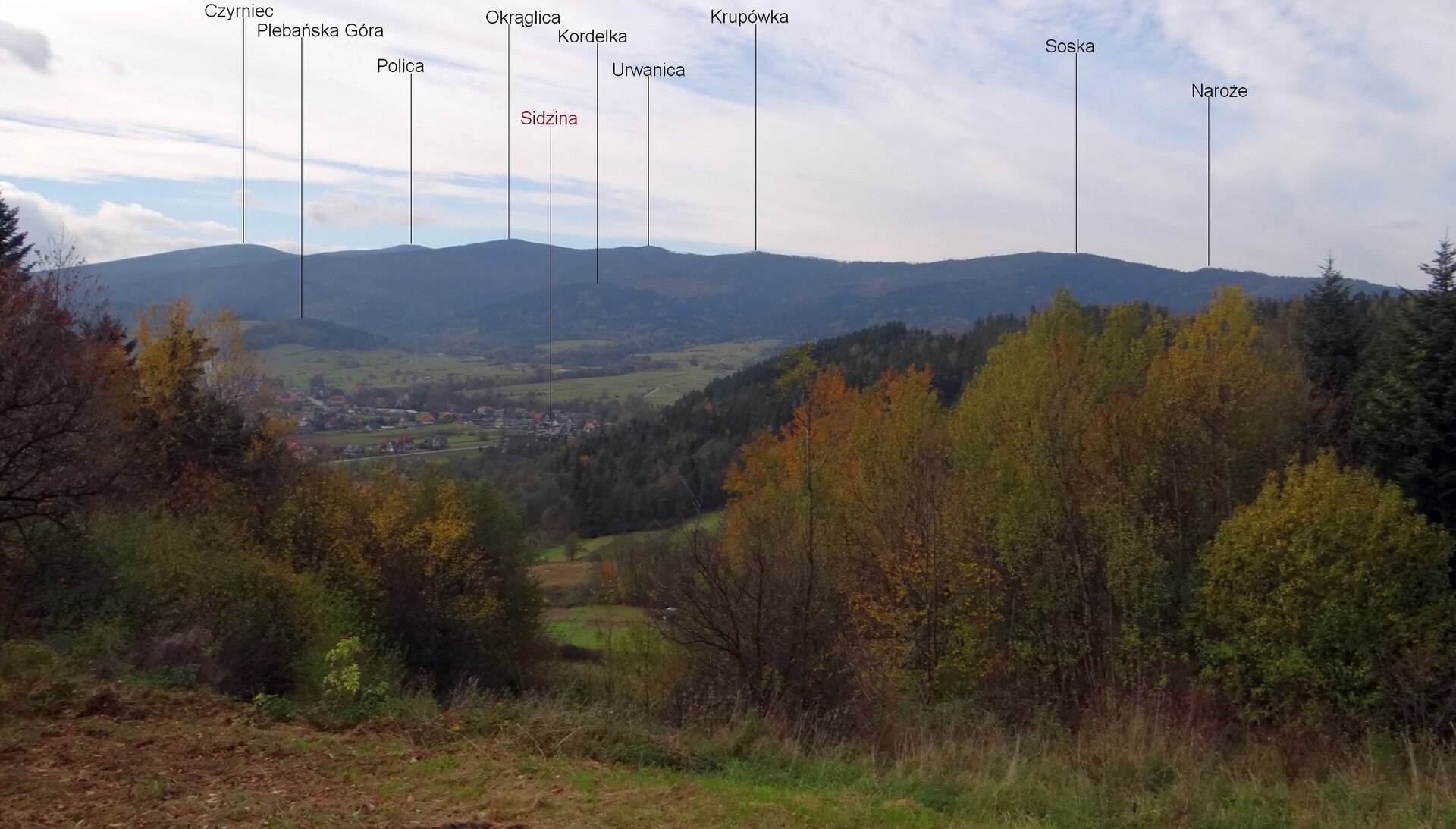
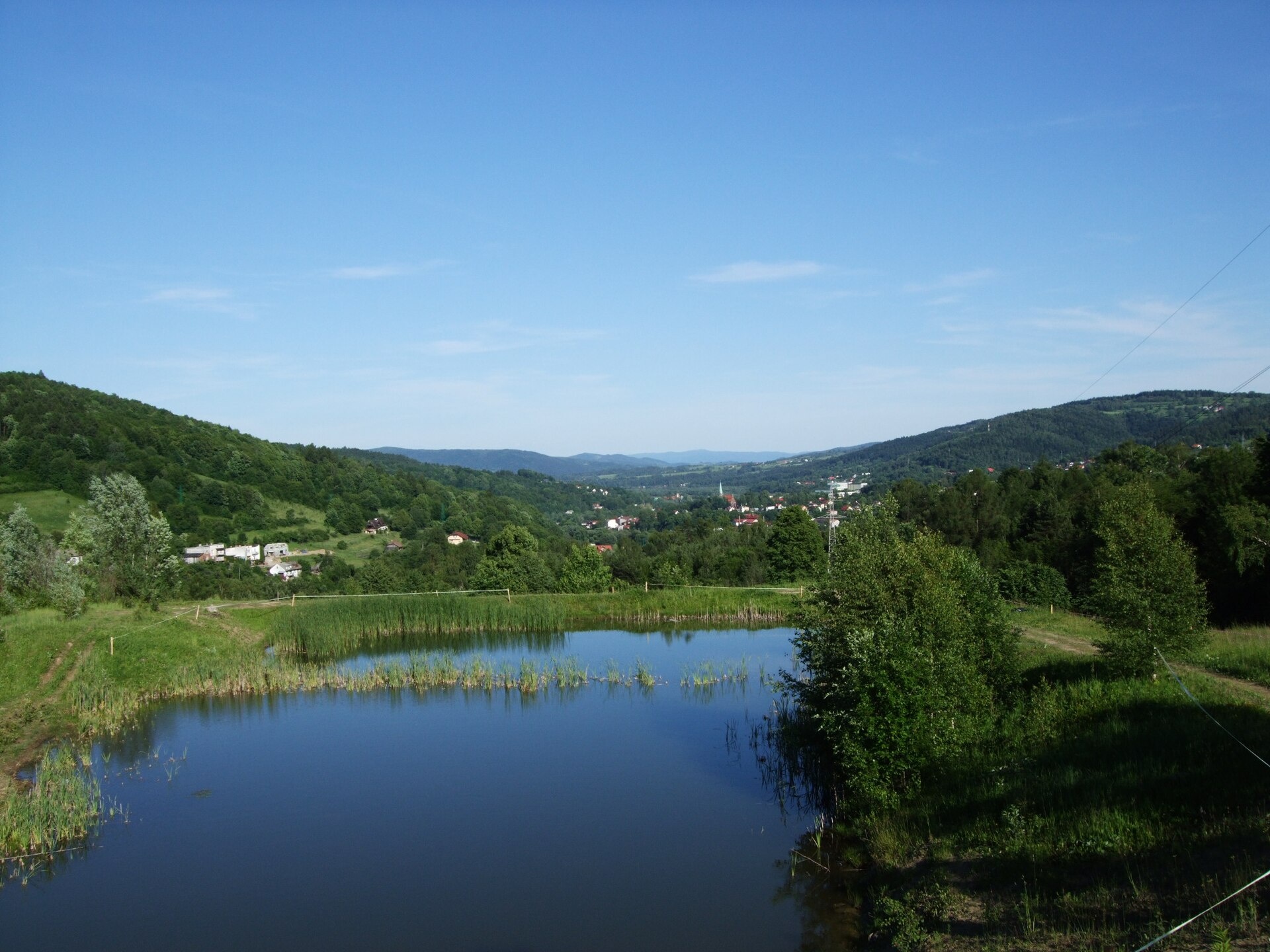
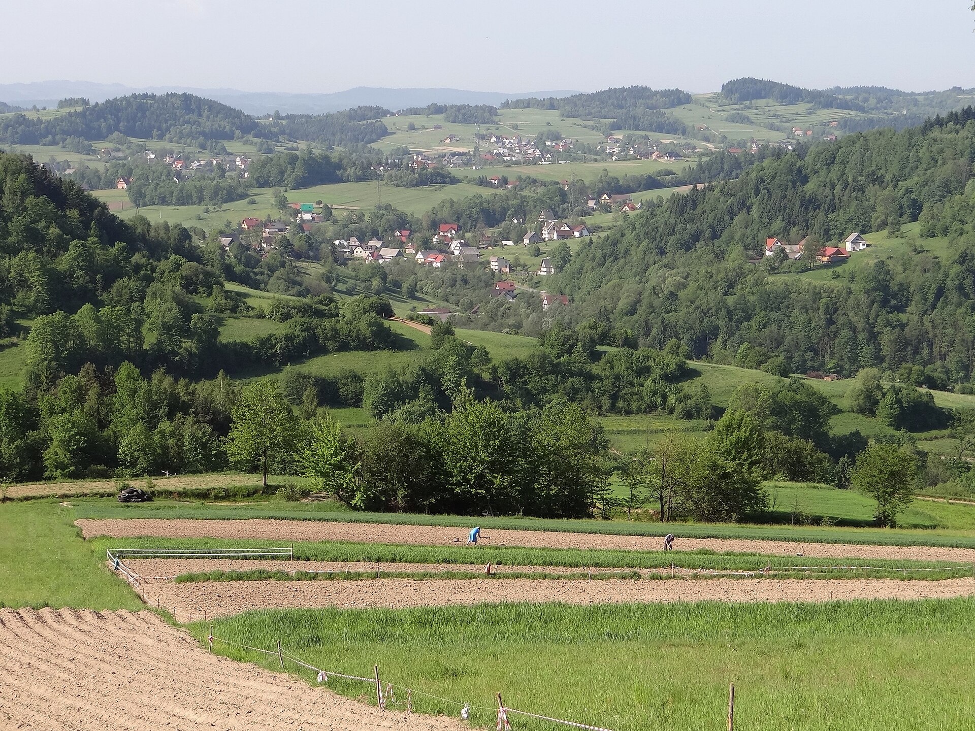
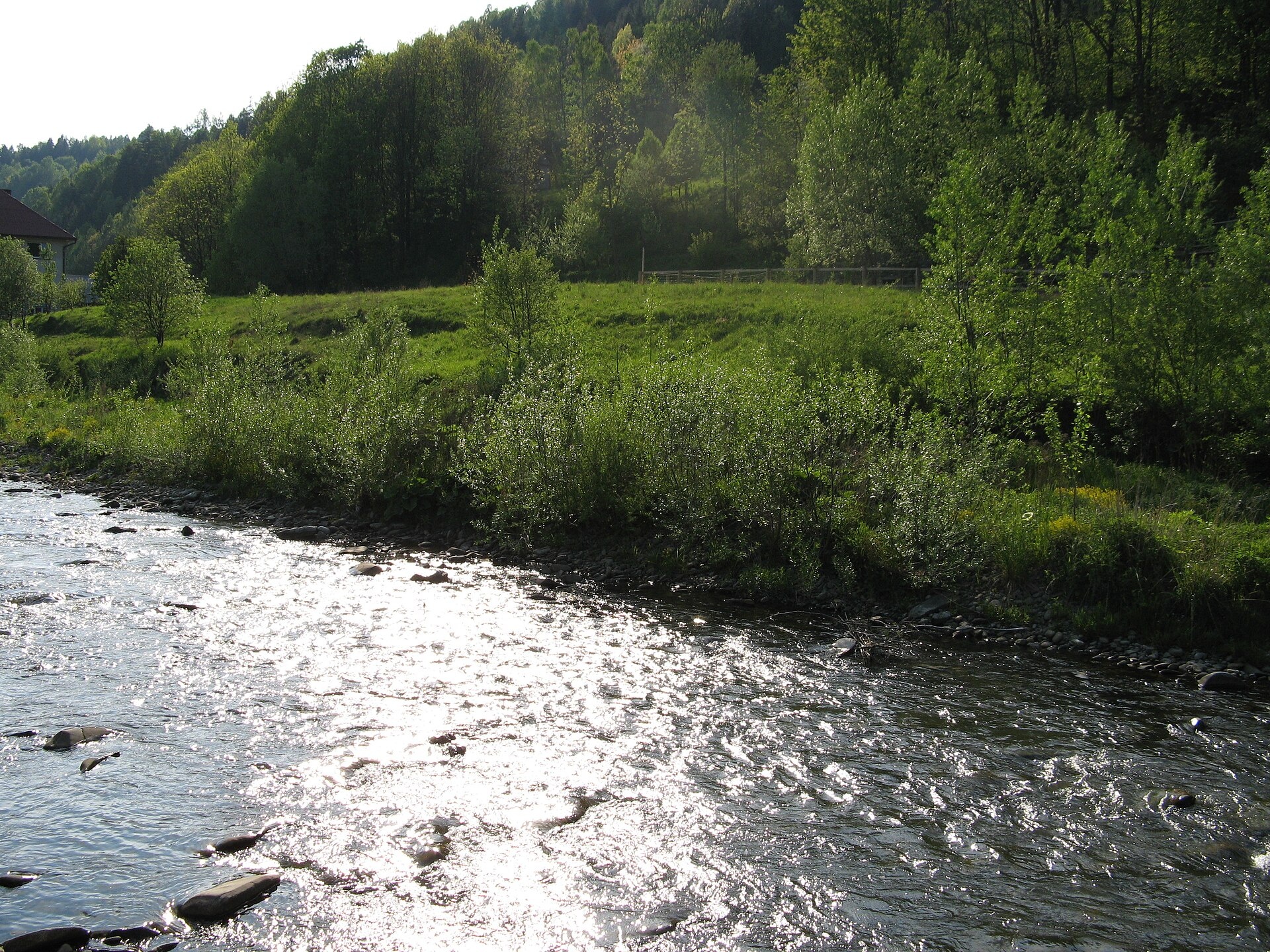
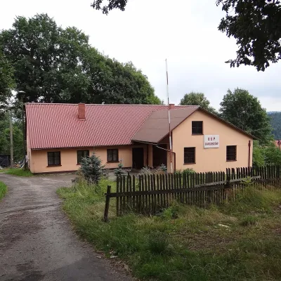
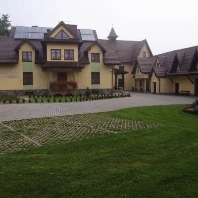
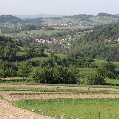
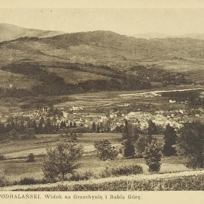
Photos: Zawoja (Artur Kozioł, CC BY-SA 3.0); Sidzina (Jerzy Opioła, CC BY-SA 4.0); Sucha Beskidzka (Beemwej, CC BY-SA 3.0); Łętownia (Jerzy Opioła, CC BY-SA 4.0); Skawica (Danielukas, Public domain)
Sucha County is an administrative district in the western part of the Lesser Poland Voivodeship, Poland. Its administrative seat is the town of Sucha Beskidzka, with other towns including Maków Podhalański and Jordanów. The county was re-established on January 1, 1999, following administrative reforms. It is located on the border with Slovakia, within the Beskid mountain ranges.
Sucha County is known for its mountainous landscapes, encompassing parts of the Little Beskids, Maków Beskids, and Żywiec Beskids. The highest peak is Babia Gora (1,725 m), which is part of the Babia Góra National Park. The area is largely forested, and the main river is the Skawa. The region attracts visitors with its natural attractions and opportunities for active recreation.
On karpaty.rocks, the county features objects in Zawoja, Sidzina, Sucha Beskidzka, Krzeszów, Lachowice, Targoszów, Maków Podhalański, Skawica, and other villages. There are numerous trails, such as Hajki – Sucha Beskidzka, Sidzina – Jabłonka, Zawoja Chatowa – Markowe Szczawiny. Notable peaks include Babia Gora, Polica, and Czerniawa Sucha. Sights include the Sucha Castle, the waterfall on the Mosorny Potok, and the permanent exhibition of the Babia Góra National Park in Zawoja. Accommodation options include the Markowe Szczawiny, Adama, PTTK Leskowiec, and Hala Krupowa huts.
Getting there from Ukraine
Lviv – Żywiec ≈412 km, ≈5 h 30 min without queues or tolls: M-10 → Krakovets – Korczowa → A4 to Kraków (≈249 km) → DK52 via Wadowice → DW781 and DW946 to Żywiec. ≈333 km, ≈4 h from the border. Alternative via the tolled A4 Kraków – Katowice and the S1 via Tychy and Bielsko-Biała: ≈457 km, ≈5 h 25 min.
Sources: Wikipedia, Wikidata, OpenStreetMap, Karpaty.rocks data.
What's nearby
Towns and villages
 Zawoja16 trails, 6 peaks, 3 sights
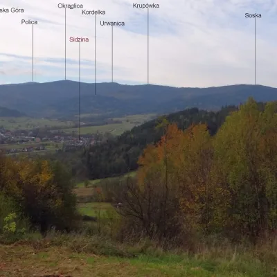 Sidzina5 trails, 2 peaks, 1 sight
 Sucha Beskidzka3 trails, 2 sights
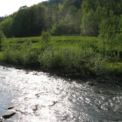 Skawica2 trails, 1 peak
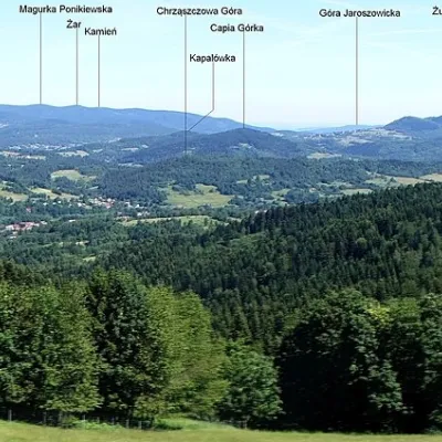 Lachowice2 trails, 1 mountain hut or shelter
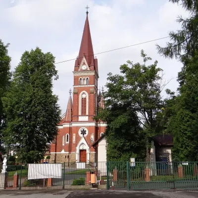 Krzeszów3 trails
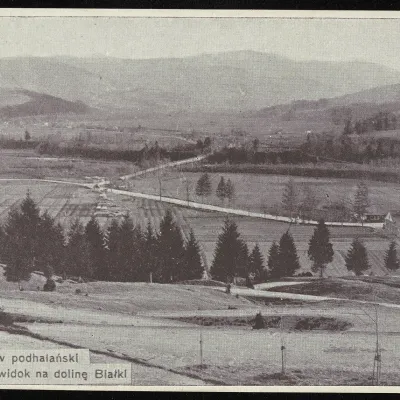 Maków Podhalański2 trails
 Targoszów1 trail, 1 mountain hut or shelter
 Bystra Podhalańska1 trail
 Łętownia1 peak
 Grzechynia1 trail
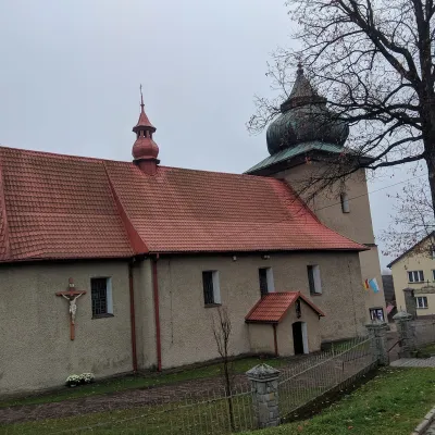 Bieńkówka1 trail
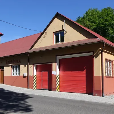 Żarnówka1 trailKojszówka1 trail
 Wysoka1 trailZachełmna1 trail
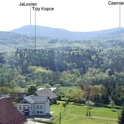 Hucisko1 trail
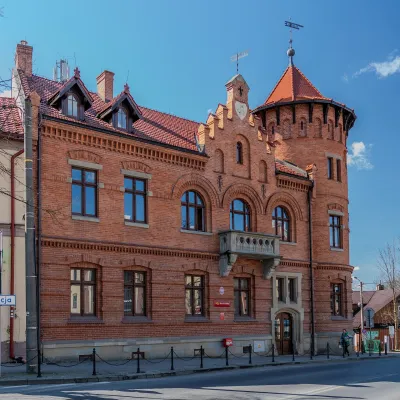 Jordanów
Getting there from Ukraine
Border crossings
- Krakovets – Korczowa — road, 24/7
- Shehyni – Medyka — road, 24/7 Pedestrian crossing is not confirmed by the Ukrainian border service — check dpsu.gov.ua before the trip.
- Smilnytsia – Krościenko — road, 24/7
- Hrushiv – Budomierz — road, 24/7
- Mostyska – Przemyśl (rail) — rail, 24/7
By car
Lviv – Żywiec ≈412 km, ≈5 h 30 min without queues or tolls: M-10 → Krakovets – Korczowa → A4 to Kraków (≈249 km) → DK52 via Wadowice → DW781 and DW946 to Żywiec. ≈333 km, ≈4 h from the border. Alternative via the tolled A4 Kraków – Katowice and the S1 via Tychy and Bielsko-Biała: ≈457 km, ≈5 h 25 min.
Checked 23.10.2026; border crossing hours and timetables change — check before you travel.
