Sucha Beskidzka
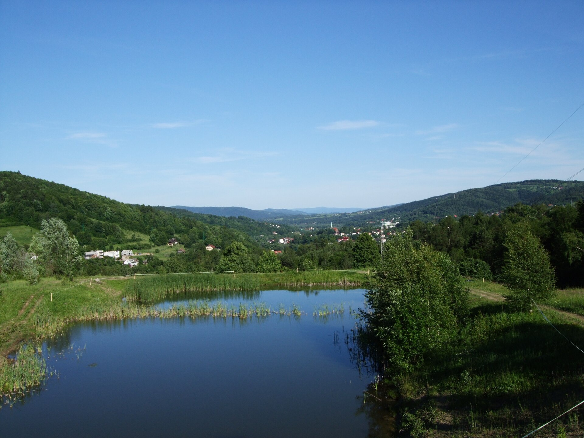
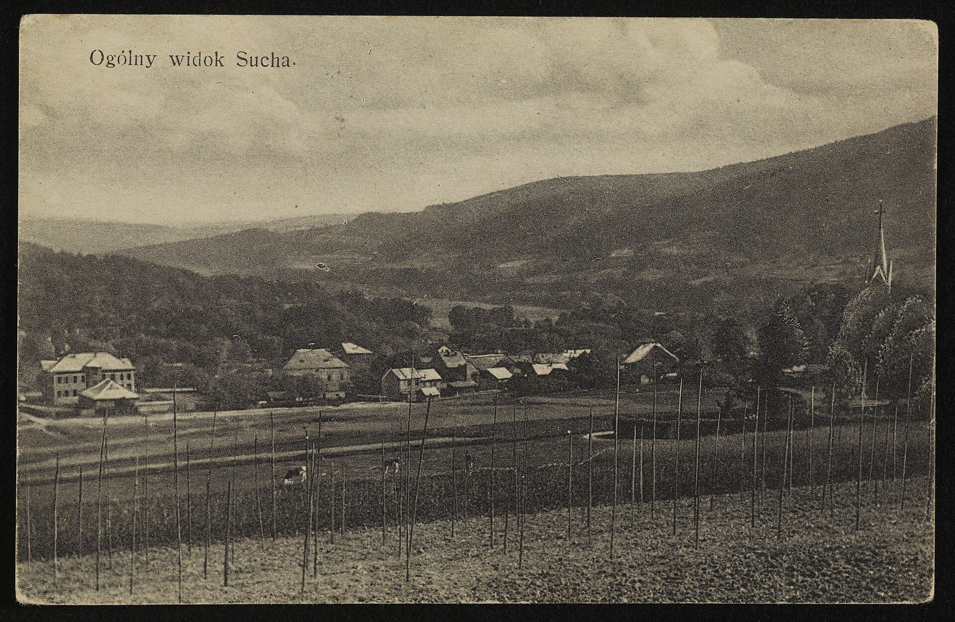
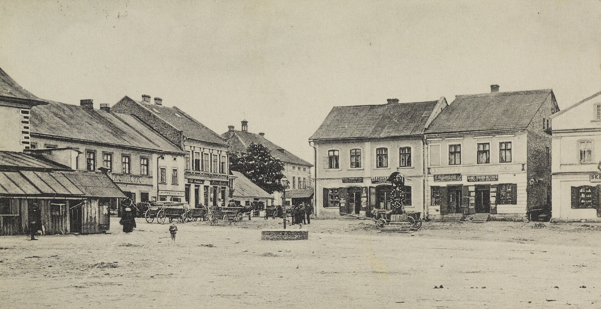
Photos: Beemwej, CC BY-SA 3.0 (Wikimedia Commons); Unknown authorUnknown author, Public domain (Wikimedia Commons); Unknown authorUnknown author, Public domain (Wikimedia Commons)
Sucha Beskidzka is a town in Poland.
Elevation: about 350 m above sea level. Population: 8,951 (2021). Mountains nearby: Maków Beskids.
Here and nearby on the site: 3 trails, 2 sights.
Facts: Wikidata, OpenStreetMap. More on Wikipedia
Trails nearby
All trails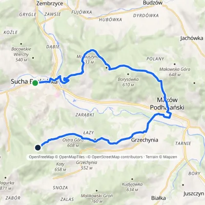 ModerateTwo-dayMarkedSucha Beskidzka PrzysłopElevation profile324–698 m18.2 kmascent 759 m≈ 6 h walkingunder 1 km from the centre
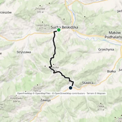
 ModerateOne-dayMarkedTrail of Prof. Marian WnukElevation profile347–776 m11.3 kmascent 477 m≈ 4 h walkingunder 1 km from the centre
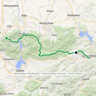 HardMulti-dayMarkedGaiki Sucha BeskidzkaElevation profile301–896 m51 kmascent 2 273 munder 1 km from the centre
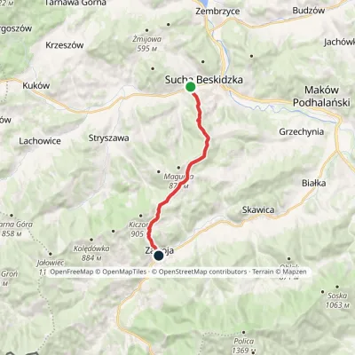
 ModerateOne-dayMarkedSucha Beskidzka station Zawoja MarszałkiElevation profile348–831 m11 kmascent 493 m≈ 3.5 h walkingunder 1 km from the centre
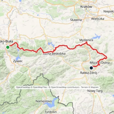 HardMulti-dayMarkedMały Szlak BeskidzkiElevation profile282–1 022 m134.7 kmascent 5 091 m2.6 km from the centre
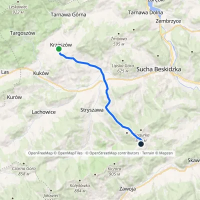 ModerateOne-dayMarkedKrzeszów PrzysłopElevation profile370–779 m11.1 kmascent 427 m≈ 3.5 h walking4 km from the centre
Peaks nearby
All peaks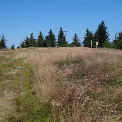 PeakLeskowiecRzykialtitude 922 m12 km from the centreLeskowiec is a 922 m summit in the eastern part of the Little Beskids, in the Łamana Skała range of southern Poland.
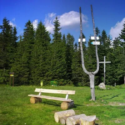 PeakJałowiec (Jałowiec Range)Koszarawaaltitude 1 111 m12 km from the centreJałowiec is a 1,111 m summit, the highest of the Jałowiec Range north of the Babia Góra massif in Poland.
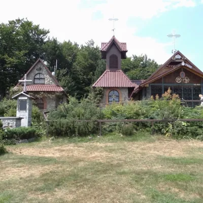 PeakGroń Jana Pawła IIRzykialtitude 890 m12 km from the centreGroń Jana Pawła II (John Paul II's Groń) is an 890 m summit in the eastern part of the Little Beskids in southern Poland, in Wadowice County of the Lesser Poland...
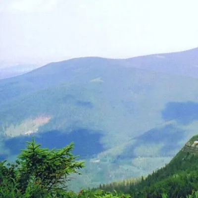 PeakKiczorka (Cyl Hali Śmietanowej)Zawojaaltitude 1 298 m13 km from the centreKiczorka (in guidebooks and on maps Cyl Hali Śmietanowej) is a 1298 m summit in the western part of the Polica Range, west of Polica itself.
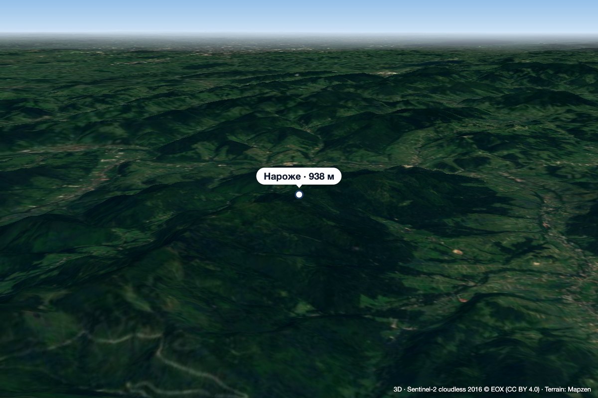 PeakNarożeSidzinaaltitude 938 m13 km from the centreNaroże (on the state Geoportal map Narozie) is a wooded summit about 938 m high (939.5 m per OpenStreetMap) on the main ridge of the Polica range.
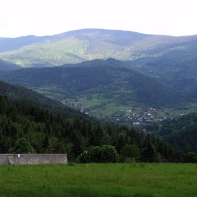 PeakPolicaSidzinaaltitude 1 369 m13 km from the centrePolica (formerly Police) is a 1,369 m summit, the highest of the Polica range north-east of Krowiarki Pass.
What to visit
All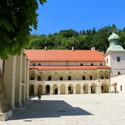 CastleSucha Beskidzka Castle (Little Wawel)Sucha Beskidzka1 km from the centreSucha Castle in the town of Sucha Beskidzka is a Renaissance magnate residence at the foot of Mount Jasień, near the point where the Stryszawka flows into the Skawa.
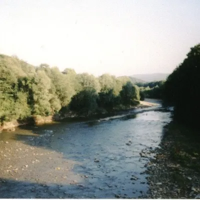 RiverSkawa RiverSucha Beskidzka1.1 km from the centreThe Skawa is a right-bank tributary of the Vistula, a Carpathian mountain river flowing entirely within the Lesser Poland Voivodeship.
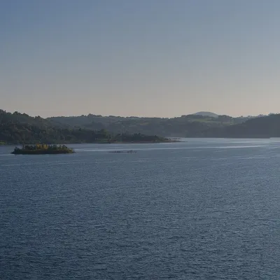 LakeLake Mucharz (Jezioro Mucharskie)Świnna Poręba9.7 km from the centreLake Mucharz (Jezioro Mucharskie) is the youngest large reservoir of the Polish Carpathians. It lies on the Skawa river among the hills of the Beskid Mały, in the...
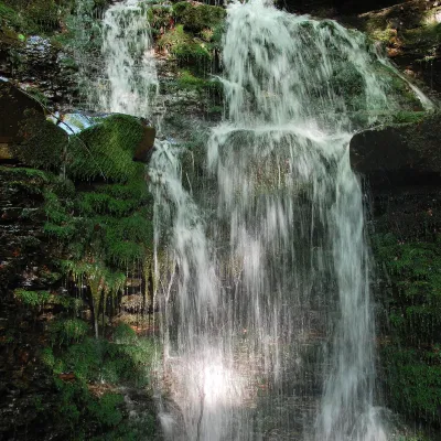 WaterfallWaterfall on the Mosorny PotokZawoja12 km from the centreThe waterfall on the Mosorny Potok (Wodospad na Mosornym Potoku), also called Mosorczyk, is one of the highest natural waterfalls of the Polish Beskids.
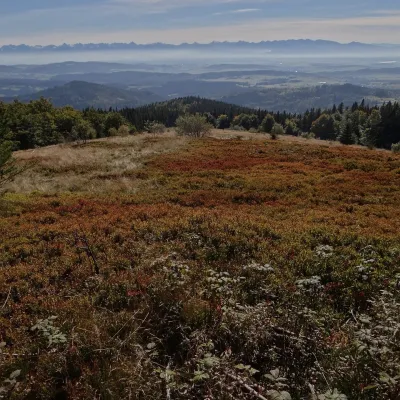 Mountain meadowHala KrupowaSidzinaaltitude 1 152 m13 km from the centreHala Krupowa is a former pasture in the Polica Range (Pasmo Policy) of the Żywiec Beskids (in the newer regionalisation, the Żywiec-Orawa Beskids), above the village...
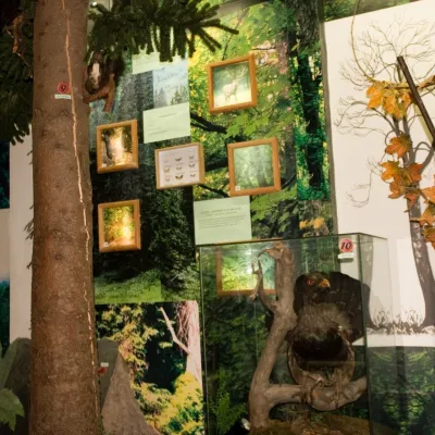 MuseumBabia Góra National Park Permanent Exhibition, ZawojaZawoja15 km from the centreThe permanent exhibition of the Babia Góra National Park (Wystawa Stała Babiogórskiego Parku Narodowego) is housed in the park's headquarters in Zawoja, in the part of...
Craft nearby
All craft places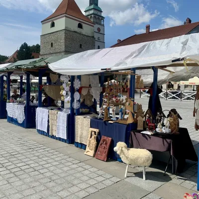 Markets & fairsFolk Art Fair in Żywiec during the Beskidy Week of CultureŻywiec28 km from the centreThe Beskidy Highlanders' Week of Culture (Tydzień Kultury Beskidzkiej, TKB) is Poland's largest folklore festival: it was first held in Wisła in 1964, and today, at...
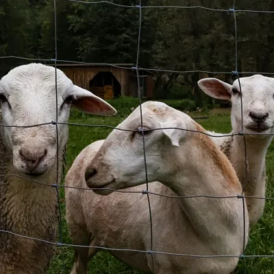 Eco farmsOrawskie Ranczo Educational Farm, Harkabuz: animals and craft workshopsHarkabuz29 km from the centreOrawskie Ranczo is a small family educational farm (zagroda edukacyjna) in the village of Harkabuz near Raba Wyżna, where Orawa meets Podhale.
Huts, shelters and springs nearby
Getting there from Ukraine
Border crossings
- Krakovets – Korczowa — road, 24/7
- Shehyni – Medyka — road, 24/7 Pedestrian crossing is not confirmed by the Ukrainian border service — check dpsu.gov.ua before the trip.
- Smilnytsia – Krościenko — road, 24/7
- Hrushiv – Budomierz — road, 24/7
- Mostyska – Przemyśl (rail) — rail, 24/7
By car
Lviv – Żywiec ≈412 km, ≈5 h 30 min without queues or tolls: M-10 → Krakovets – Korczowa → A4 to Kraków (≈249 km) → DK52 via Wadowice → DW781 and DW946 to Żywiec. ≈333 km, ≈4 h from the border. Alternative via the tolled A4 Kraków – Katowice and the S1 via Tychy and Bielsko-Biała: ≈457 km, ≈5 h 25 min.
Checked 23.10.2026; border crossing hours and timetables change — check before you travel.
