Polica
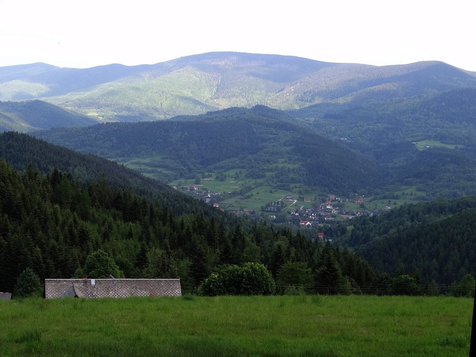
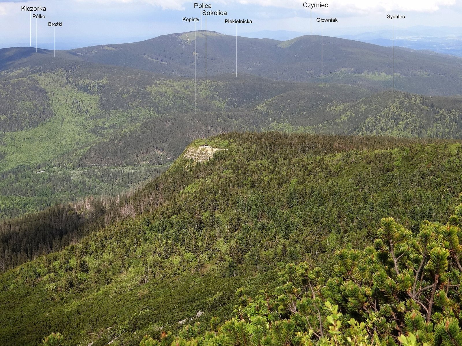
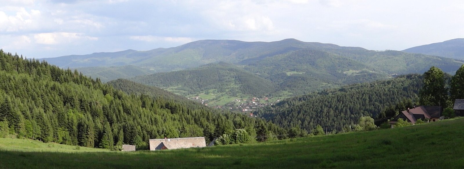
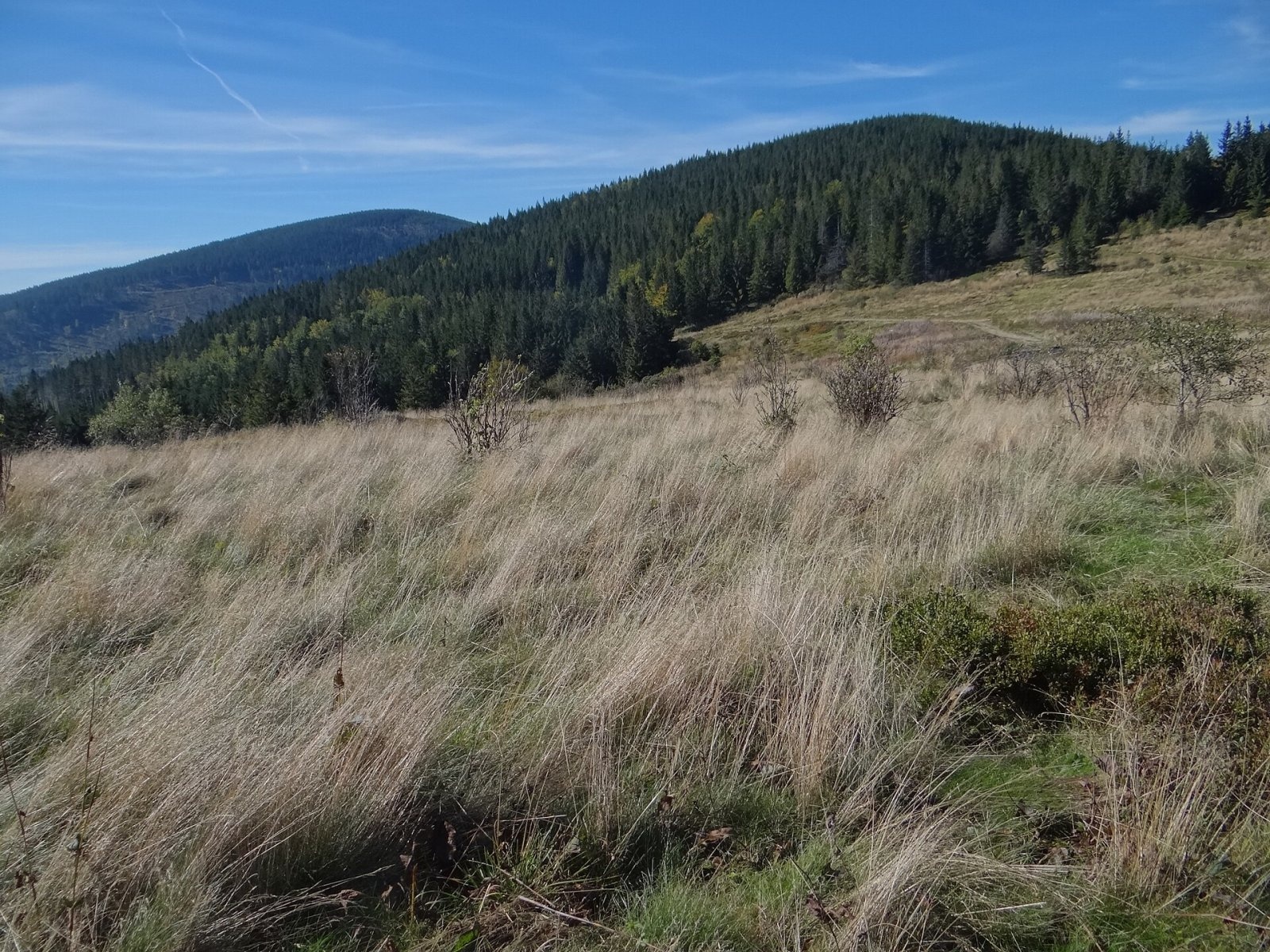
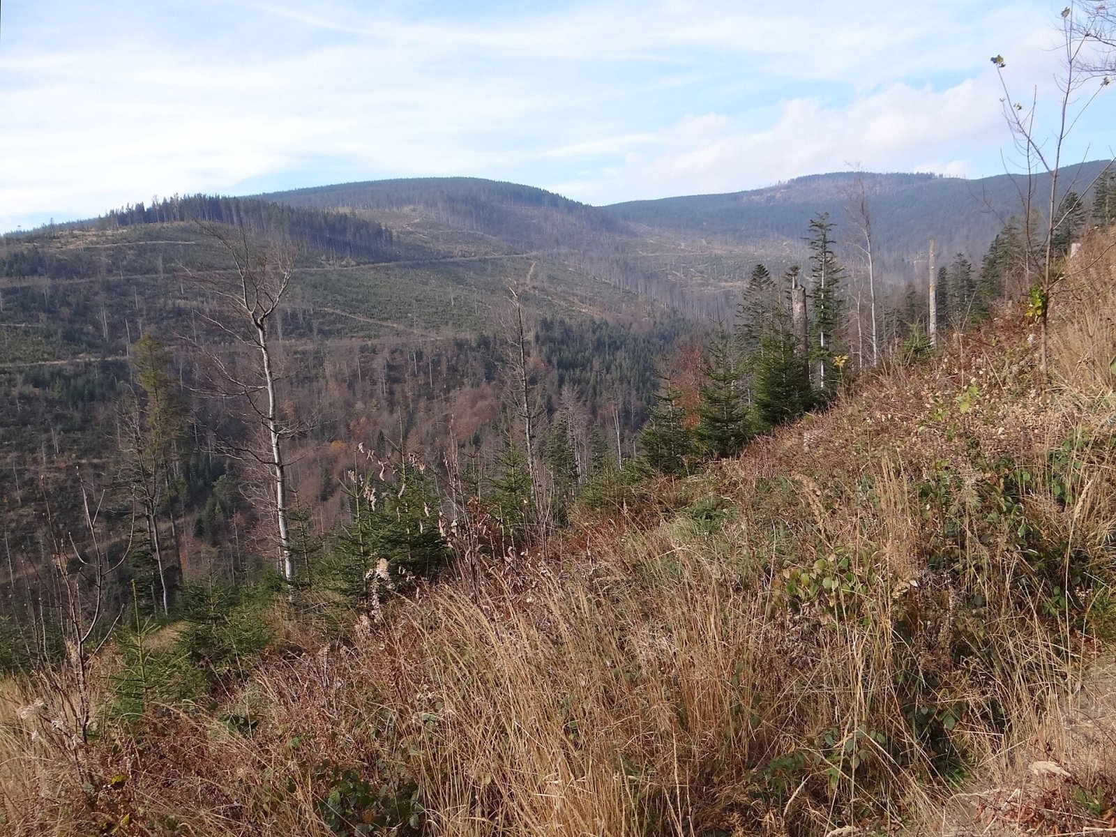
Polica (formerly Police) is a 1,369 m summit, the highest of the Polica range north-east of Krowiarki Pass. The range belongs to the Babia Góra Range; in Jerzy Kondracki's classic regionalisation it is part of the Żywiec Beskids, and in the newer 2018 scheme part of the Żywiec-Orava Beskids. In the local highland dialect the old name Police meant the shelves on which cheese was stored in a shepherd's hut. The boundaries of three villages and two counties meet on the summit — Skawica and Sidzina (Sucha County) and Zubrzyca Górna (Nowy Targ County); the nearest larger villages, Zawoja and Skawica, are about 6 km away.
Polica is a ridge junction: to the south-east runs the slightly lower Czernice (Czyrniec) ridge, which falls to Zubrzycka Pass (877 m), where the Polica range joins the Orava-Podhale Beskids. The main European watershed between the Baltic and Black Sea basins runs over Polica, Krowiarki Pass and on along the Babia Góra Range. The north-western slopes fall to the Skawica valley, cut by the deep valley of the Skawica Górna stream.
How to get there / routes
- The red Main Beskid Trail (GSB) crosses the summit: from Krowiarki Pass via Syhlec, Głowniak, Piekielnicka, Brożki, Pólko and Kiczorka to Polica, then via Cupel, Jasna Grapa and Kocia Łapa to Kucałowa Pass. According to Polish Wikipedia this section involves 520 m of ascent and takes about 2 h 45 min (2 h 30 min in the opposite direction).
- A blue trail climbs to the summit from Zubrzycka Pass (in OSM: Polica – Stare Wierchy).
- The summit also lies on the memorial route "Cardinal Karol Wojtyła's last hike" (Skawica – Krowiarki Pass); the yellow trail from Skawica via the hamlet of Skawica-Sucha Góra to Hala Krupowa is known as the Papal Trail.
What you can see from the summit
The Polica massif is mostly forested, and the sources do not describe wide views from the top itself. Polica is best seen from elsewhere — from the Kucałowa meadow, from the northern ridge of Babia Góra and from the Babia Góra Foothills, from where the range rises above Zawoja.
Nature and history
Among plants rare in Poland, the alpine snowbell grows here. In 1972 the Professor Zenon Klemensiewicz nature reserve (about 59 ha) was created on Polica. At the foot of the mountain lies the longest and deepest cave of the whole Żywiec Beskids — Jaskinia Oblica (416 m of passages, 21 m deep).
Until 1918 the ridge from Babia Góra via Krowiarki to Polica and on along the Czernice ridge carried the Galician–Hungarian border, and in 1918–1920 the Polish–Czechoslovak border; a smugglers' path called the Tobacco Trail ran along it. During the Second World War the ridge separated Slovakia from the General Government, and the massif sheltered Home Army partisans, who had a bunker in the Głębocki stream valley.
On 2 April 1969 a LOT Polish Airlines Antonov An-24 (Flight 165) crashed on the northern slope of Polica. All 53 people on board died, including the noted linguist Professor Zenon Klemensiewicz. The most likely cause was a navigation error due to inadequate equipment at Kraków airport. A cross marks the crash site, and on 20 August 2009 a monument to the victims was unveiled on the summit. In September 1978 Karol Wojtyła made his last mountain hike before becoming pope in the Polica range.
Safety, season and rules
Polica is accessible all year, but the forested ridge is long and has little water; snow lies long in winter, and in fog it is easy to take the wrong branch at junctions. Stay on marked trails in the reserve. In an emergency call GOPR mountain rescue on 985 or +48 601 100 300, or 112.
Photos: Jerzy Opioła, CC BY-SA 4.0; Jerzy Opioła, CC BY-SA 4.0; Jerzy Opioła, CC BY-SA 4.0; Jerzy Opioła, CC BY-SA 4.0; Jerzy Opioła, CC BY-SA 4.0; Jerzy Opioła, CC BY-SA 4.0 — Wikimedia Commons.
Getting there from Ukraine
Border crossings
- Krakovets – Korczowa — road, 24/7
- Shehyni – Medyka — road, 24/7 Pedestrian crossing is not confirmed by the Ukrainian border service — check dpsu.gov.ua before the trip.
- Smilnytsia – Krościenko — road, 24/7
- Hrushiv – Budomierz — road, 24/7
- Mostyska – Przemyśl (rail) — rail, 24/7
By car
Lviv – Żywiec ≈412 km, ≈5 h 30 min without queues or tolls: M-10 → Krakovets – Korczowa → A4 to Kraków (≈249 km) → DK52 via Wadowice → DW781 and DW946 to Żywiec. ≈333 km, ≈4 h from the border. Alternative via the tolled A4 Kraków – Katowice and the S1 via Tychy and Bielsko-Biała: ≈457 km, ≈5 h 25 min.
Checked 23.10.2026; border crossing hours and timetables change — check before you travel.
Location on the map
Water and shelter nearby
- Hut below Polica470 m · Not verified · 1 315 m
- Spring below Polica490 m · Not verified · 1 304 m
- Hala Krupowa Hut1.8 km · Standing · 1 152 m
- Spring below Kocia Łapa1.9 km · Not verified · 1 131 m
- Hut below Kordelka2.3 km · Not verified · 891 m
- Spring below Okrąglica2.4 km · Not verified · 1 115 m
- Hut on Hala Krupowa2.7 km · Not verified · 1 124 m
- Spring below Brożki2.8 km · Not verified · 1 190 m
Comments
Trails nearby
All trails HardMulti-dayMarkedMain Trail of BeskidyElevation profile309–1 723 m499.9 kmascent 19 519 munder 1 km from Polica
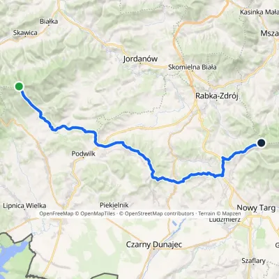 HardMulti-dayMarkedPolica Stare WierchyElevation profile674–1 369 m44 kmascent 1 099 m≈ 13 h walkingunder 1 km from Polica
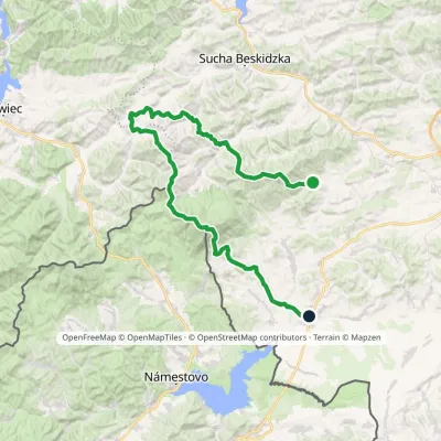 HardMulti-dayMarkedSidzina JabłonkaElevation profile507–1 723 m74.1 kmascent 3 189 munder 1 km from Polica
Nearby attractions
 PeakCzernicZubrzyca Górnaaltitude 1 317 m1.2 km from PolicaCzernic (on hiking maps also Czyrniec) is a 1317 m summit in the Polica Range in southern Poland. In Jerzy Kondracki's classic physical-geographic division the range...
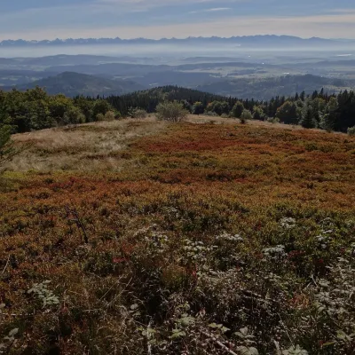 Mountain meadowHala KrupowaSidzinaaltitude 1 152 m1.8 km from PolicaHala Krupowa is a former pasture in the Polica Range (Pasmo Policy) of the Żywiec Beskids (in the newer regionalisation, the Żywiec-Orawa Beskids), above the village...
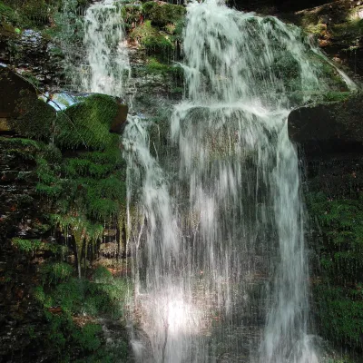 WaterfallWaterfall on the Mosorny PotokZawoja4.1 km from PolicaThe waterfall on the Mosorny Potok (Wodospad na Mosornym Potoku), also called Mosorczyk, is one of the highest natural waterfalls of the Polish Beskids.
Craft nearby
All craft places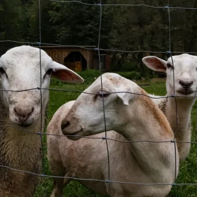 Eco farmsOrawskie Ranczo Educational Farm, Harkabuz: animals and craft workshopsHarkabuz18 km from PolicaOrawskie Ranczo is a small family educational farm (zagroda edukacyjna) in the village of Harkabuz near Raba Wyżna, where Orawa meets Podhale.
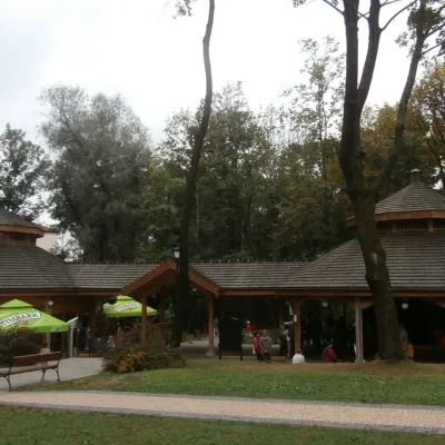 Water parks & thermal poolsRabka-Zdrój spa: brine graduation tower, pump rooms, treatmentsRabka-Zdrój24 km from PolicaRabka-Zdrój is a spa in the Raba valley between the Gorce, the Beskid Wyspowy and the Beskid Makowski, halfway from Kraków to Zakopane.
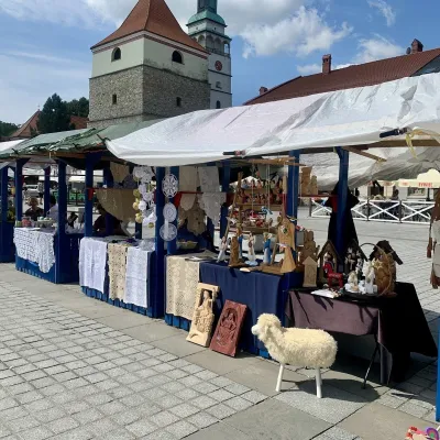 Markets & fairsFolk Art Fair in Żywiec during the Beskidy Week of CultureŻywiec31 km from PolicaThe Beskidy Highlanders' Week of Culture (Tydzień Kultury Beskidzkiej, TKB) is Poland's largest folklore festival: it was first held in Wisła in 1964, and today, at...
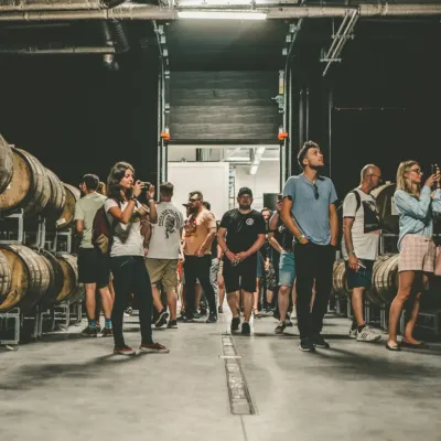 Craft beer & breweriesPINTA Brewery, Wieprz near Żywiec: tours and taproomWieprz32 km from PolicaPINTA is the brewery that Poles associate with the start of the “beer revolution”; it calls itself the country's first craft brewery.
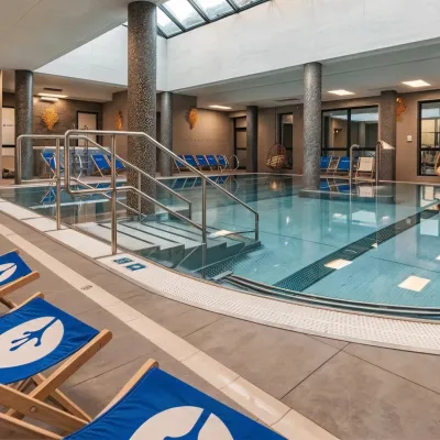 Water parks & thermal poolsTermy Gorce thermal bathsNiedźwiedź33 km from PolicaTermy Gorce is a small, cosy thermal complex in the village of Poręba Wielka, in the municipality of Niedźwiedź, at the foot of the Gorce Mountains.
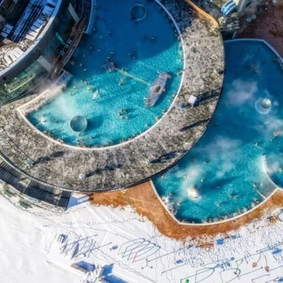 Water parks & thermal poolsChochołowskie TermyChochołów34 km from PolicaChochołowskie Termy stand in the village of Chochołów in the Podhale region, north-west of Zakopane and not far from the Slovak border.
