Jordanów
Sucha County · Lesser Poland Voivodeship · Poland
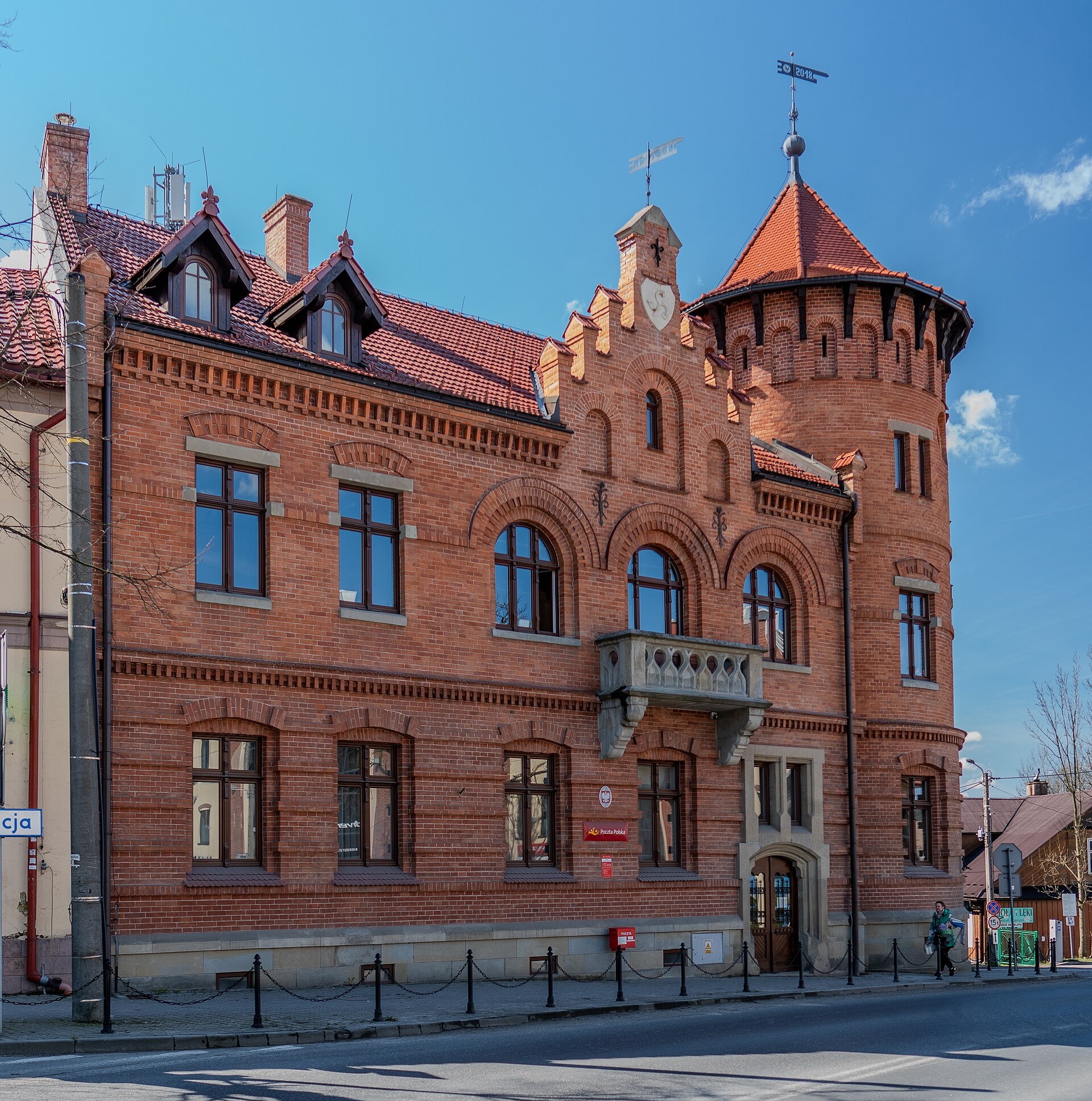
Photos: Januszk57, CC BY-SA 4.0 (Wikimedia Commons)
Jordanów is a town in Poland.
Population: 5,313 (2021). Mountains nearby: Western Carpathians.
Facts: Wikidata, OpenStreetMap. More on Wikipedia
Trails nearby
All trails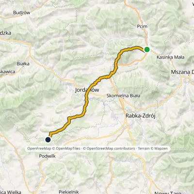 HardMulti-dayMarkedLubień SidzinaElevation profile348–854 m30.7 kmascent 1 001 m≈ 9.5 h walkingunder 1 km from the centre
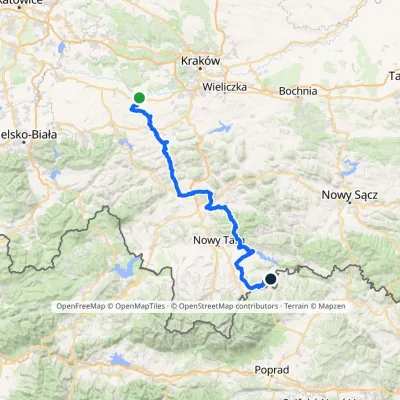 HardMulti-dayMarkedBrzeźnica KacwinElevation profile220–1 289 m143 kmascent 4 206 munder 1 km from the centre
 HardMulti-dayMarkedMain Trail of BeskidyElevation profile309–1 723 m499.9 kmascent 19 519 munder 1 km from the centre
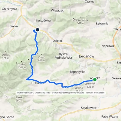 ModerateTwo-dayMarkedWysoka Kojszówka stationElevation profile394–851 m23 kmascent 473 m≈ 6.5 h walking3.5 km from the centre
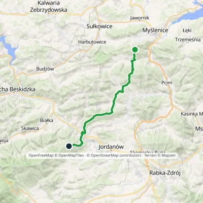 HardMulti-dayMarkedSularzówka CupelElevation profile344–885 m28.5 kmascent 1 440 m≈ 10 h walking5.2 km from the centre
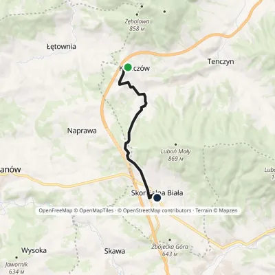 EasyOne-dayMarkedKrzeczów Junction Skomielna BiałaElevation profile493–690 m8 kmascent 192 m≈ 2.5 h walking5.3 km from the centre
Peaks nearby
All peaks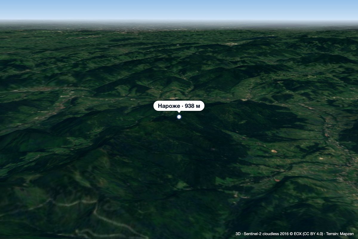 PeakNarożeSidzinaaltitude 938 m9.1 km from the centreNaroże (on the state Geoportal map Narozie) is a wooded summit about 938 m high (939.5 m per OpenStreetMap) on the main ridge of the Polica range.
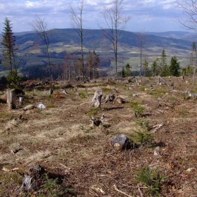 PeakZębalowaŁętowniaaltitude 854 m9.1 km from the centreZębalowa (locally Zębolowa) is a broad 854 m summit and a mountain massif of the same name in the north-western part of the Island Beskids (Beskid Wyspowy) in southern...
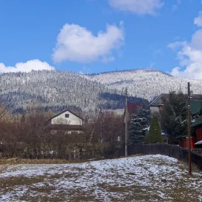 PeakLuboń WielkiGlisnealtitude 1 022 m12 km from the centreLuboń Wielki is a 1,022 m summit and the most prominent mountain of the Island Beskids, rising about 512 m above its key col.
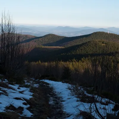 PeakOkrąglica (Polica Range)Skawicaaltitude 1 239 m13 km from the centreOkrąglica (also Krupowa Hala) is a 1,239 m summit in the Polica Range in southern Lesser Poland. In Jerzy Kondracki's physico-geographical regionalisation the range...
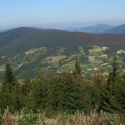 PeakSzczebelKlimkówkaaltitude 977 m14 km from the centreSzczebel, also Strzebel, is a prominent 977 m mountain in the Island Beskids (Beskid Wyspowy). It stands right above the S7 «Zakopianka» expressway from Kraków to...
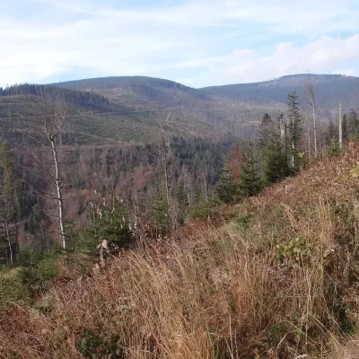 PeakCzernicZubrzyca Górnaaltitude 1 317 m15 km from the centreCzernic (on hiking maps also Czyrniec) is a 1317 m summit in the Polica Range in southern Poland. In Jerzy Kondracki's classic physical-geographic division the range...
What to visit
All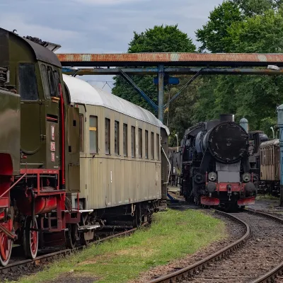 MuseumChabówka Railway Open-Air MuseumChabówka9.2 km from the centreThe Chabówka Railway Rolling Stock Open-Air Museum (Skansen Taboru Kolejowego) is an open-air museum of railway history.
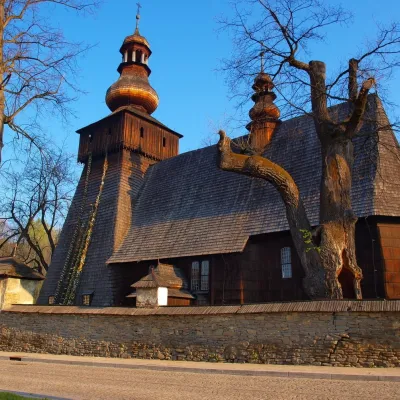 MuseumWładysław Orkan Museum in Rabka-ZdrójRabka-Zdrój9.4 km from the centreThe Władysław Orkan Museum (Muzeum im. Władysława Orkana) in the spa town of Rabka-Zdrój is one of the oldest regional museums in the Polish Beskids.
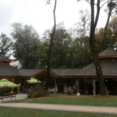 Water parks & thermal poolsRabka-Zdrój spa: brine graduation tower, pump rooms, treatmentsRabka-Zdrój10 km from the centreRabka-Zdrój is a spa in the Raba valley between the Gorce, the Beskid Wyspowy and the Beskid Makowski, halfway from Kraków to Zakopane.
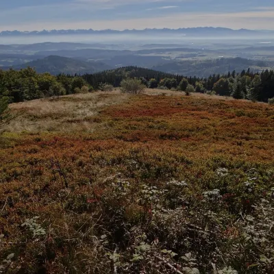 Mountain meadowHala KrupowaSidzinaaltitude 1 152 m14 km from the centreHala Krupowa is a former pasture in the Polica Range (Pasmo Policy) of the Żywiec Beskids (in the newer regionalisation, the Żywiec-Orawa Beskids), above the village...
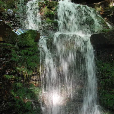 WaterfallWaterfall on the Mosorny PotokZawoja19 km from the centreThe waterfall on the Mosorny Potok (Wodospad na Mosornym Potoku), also called Mosorczyk, is one of the highest natural waterfalls of the Polish Beskids.
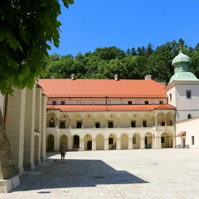 CastleSucha Beskidzka Castle (Little Wawel)Sucha Beskidzka20 km from the centreSucha Castle in the town of Sucha Beskidzka is a Renaissance magnate residence at the foot of Mount Jasień, near the point where the Stryszawka flows into the Skawa.
Craft nearby
All craft places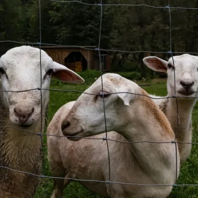 Eco farmsOrawskie Ranczo Educational Farm, Harkabuz: animals and craft workshopsHarkabuz12 km from the centreOrawskie Ranczo is a small family educational farm (zagroda edukacyjna) in the village of Harkabuz near Raba Wyżna, where Orawa meets Podhale.
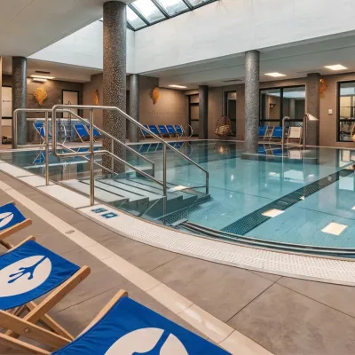 Water parks & thermal poolsTermy Gorce thermal bathsNiedźwiedź18 km from the centreTermy Gorce is a small, cosy thermal complex in the village of Poręba Wielka, in the municipality of Niedźwiedź, at the foot of the Gorce Mountains.
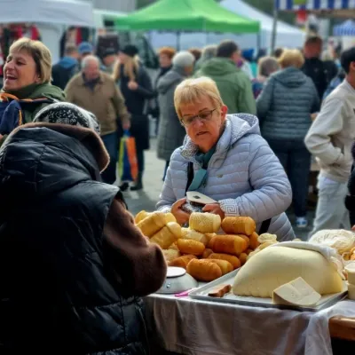 Markets & fairsNowy Targ Fair (Nowa Targowica)Nowy Targ24 km from the centreThe fair in Nowy Targ is the largest and oldest market in Podhale. On Thursdays and Saturdays highlanders from the surrounding villages, Slovaks from across the border...
Spas and thermal pools nearby
Water parks & thermal poolsRabka-Zdrój spa: brine graduation tower, pump rooms, treatmentsRabka-Zdrój10 km from the centreRabka-Zdrój is a spa in the Raba valley between the Gorce, the Beskid Wyspowy and the Beskid Makowski, halfway from Kraków to Zakopane.Water parks & thermal poolsTermy Gorce thermal bathsNiedźwiedź18 km from the centreTermy Gorce is a small, cosy thermal complex in the village of Poręba Wielka, in the municipality of Niedźwiedź, at the foot of the Gorce Mountains.Huts, shelters and springs nearby
Getting there from Ukraine
Border crossings
- Krakovets – Korczowa — road, 24/7
- Shehyni – Medyka — road, 24/7 Pedestrian crossing is not confirmed by the Ukrainian border service — check dpsu.gov.ua before the trip.
- Smilnytsia – Krościenko — road, 24/7
- Hrushiv – Budomierz — road, 24/7
- Mostyska – Przemyśl (rail) — rail, 24/7
By car
Lviv – Zakopane ≈421 km, ≈5 h 10 min without border queues. Route: M-10 Lviv – Krakovets → Krakovets – Korczowa checkpoint → A4 motorway (Rzeszów – Tarnów – Kraków) → Kraków southern bypass → S7/DK7 → DK47 ('Zakopianka') via Nowy Targ → Zakopane. The A4 Katowice – Kraków section (Balice and Mysłowice toll plazas) is tolled, but this route does not use it. In summer and at weekends the DK47 near Zakopane is often congested.
Checked 23.10.2026; border crossing hours and timetables change — check before you travel.
