To Mount Yaiko-Perehinske
Trail map
Route, springs and shelters: © OpenStreetMap contributors (ODbL) · elevation: Copernicus DEM © DLR e.V., © Airbus DS · Data & licences
About the trail
Route To Mount Yaiko-Perehinske. Has orange marking (local route). Waymarking data: OpenStreetMap (© OpenStreetMap contributors, ODbL).
Officially marked local tourist route. The marking is orange, the sign is a vertical stripe on a white background. The length of the route is 2 km. Location: mountain range - Horgany, Ivano-Frankivsk region.
The marked trail is indicated by orange ribbons.
At a glance
A short route of 2 km with 391 m of ascent. Estimated walking time: about 1 h, not counting stops. Difficulty: easy. Waymarking: orange.
Water and overnight stays
A spring near the trail: at km 2.
Huts and shelters near the trail: Hut at the Yaikivskyi botanical reserve (km 2).
When to go
Best time: May to October. In winter deep snow is possible, so experience and winter gear are needed.
Getting there
This is a one-way route: the finish is 2 km from the start in a straight line, so plan your way back in advance.
FAQ
- How long does the route take?
- Estimated walking time: about 1 h, not counting stops.
- Is there water on the route?
- A spring near the trail: at km 2.
- Where can I stay overnight?
- Huts and shelters near the trail: Hut at the Yaikivskyi botanical reserve (km 2).
Water and shelter on the route
- Hut at the Yaikivskyi botanical reservekm 2 from the start · Not verified · 1 354 m
- Drinking water below Mount Yaiko-Perehinskekm 2 from the start · 90 m off the path · Not verified · 1 345 m
Wildlife along the route
All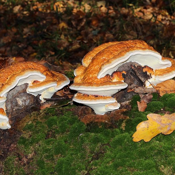
- Brown bears live in this area — how to behave
- Adders live here — what to do after a bite
- Mushroom season — but never identify a mushroom from a photo alone
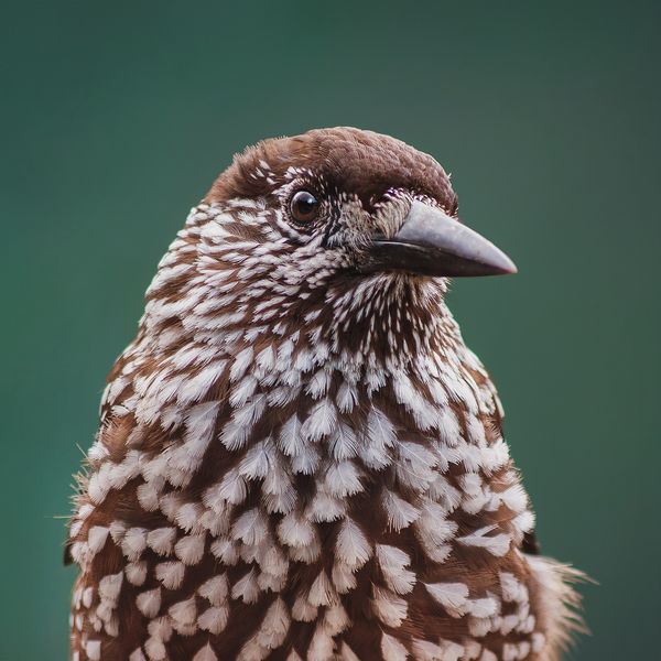
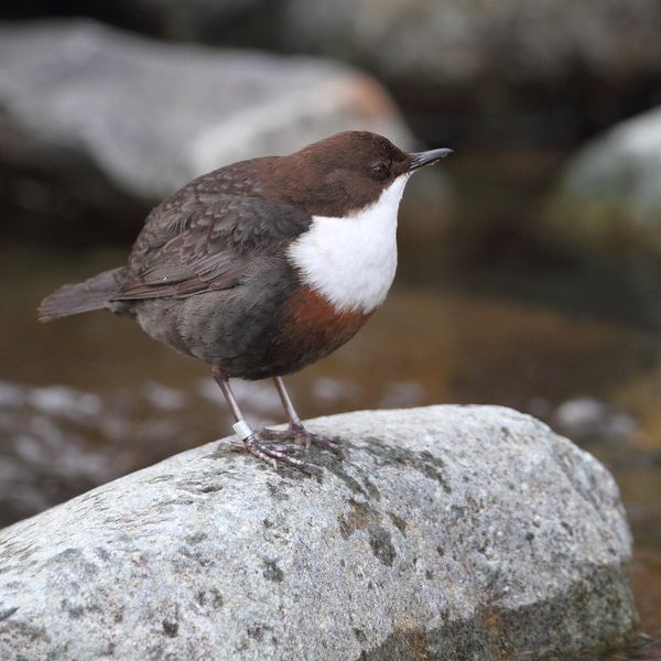
Based on naturalists’ records nearby (GBIF, iNaturalist), matched by altitude, habitat and season. Sightings are not guaranteed.
Before you go, check the border-regime restrictions: Border Guard permit for mountain hikes (in Ukrainian)
Comments
Trails nearby
All trails HardMulti-dayMyslivka village to Mizhhiriavia Mount Moloda, Mount Popadia +3Elevation profile436–1 748 m117 kmascent 6 587 m
 HardMulti-dayRakhiv to Osmoloda villagevia Mount Blyznytsia, Mount Troiaska +1Elevation profile431–1 883 m134.1 kmascent 7 367 m
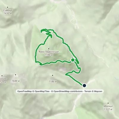 EasyOne-dayMarkedEco-trail around Yayko PerehinskeElevation profile827–1 400 m11.3 kmascent 235 m≈ 3.5 h walking
Craft nearby
All craft places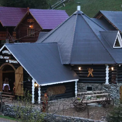 Koliby & Hutsul cuisineKoliba “Na Detsu do Tsimbora”, Synevyrska PolianaSynevyrska Polyana16 km from the trailNa Detsu do Tsimbora is a large kolyba restaurant in Synevyrska Poliana, right where the road starts climbing to Lake Synevyr.
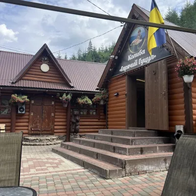 Koliby & Hutsul cuisineKoliba “Hariachyi Hutsul”, Synevyrska PolianaSynevyrska Polyana16 km from the trailKolyba “Hariachyi Hutsul” (“The Hot Hutsul”) is a cosy kolyba-museum in Synevyrska Poliana, on the road to Lake Synevyr.
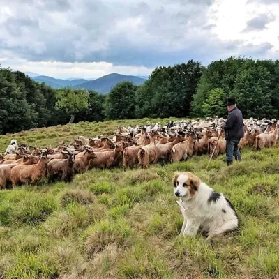 Cheese dairies & pasturesVivcharskyi Khutir Sheep Farm, Synevyrska PolianaSynevyrska Polyana19 km from the trail"Vivcharskyi Khutir" ("Shepherd's Homestead") is an ethno-centre and sheep farm in Synevyrska Poliana, near Lake Synevyr.
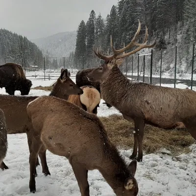 Wildlife parks & animal farmsWolf Valley Eco Park, Synevyrska PolianaSynevyrska Polyana21 km from the trailWolf Valley Eco Park (Dolyna Vovkiv) is a private animal park in Synevyrska Poliana, in the Mizhhiria area of Zakarpattia, where several kinds of wolves, red deer,...
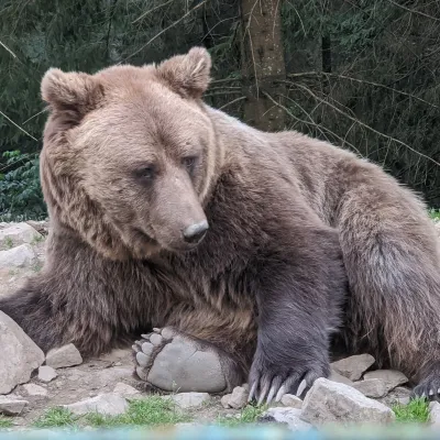 Wildlife parks & animal farmsBrown Bear Rehabilitation Centre, Synevyr National Park, Synevyrska PolianaSynevyrska Polyana22 km from the trailThe Brown Bear Rehabilitation Centre of Synevyr National Nature Park is Ukraine’s largest refuge for bears that have suffered from cruel treatment.
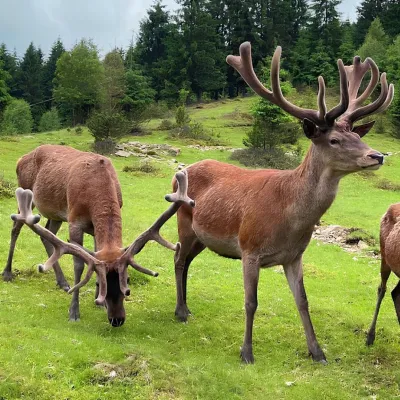 Wildlife parks & animal farmsBioPark Synevyr – Africa in the Carpathians, Synevyrska PolianaSynevyrska Polyana22 km from the trailBioPark Synevyr – Africa in the Carpathians is a hands-on animal park in the Rabachynka area near Synevyrska Poliana, in the valley of the Chorna river.
