Hron River
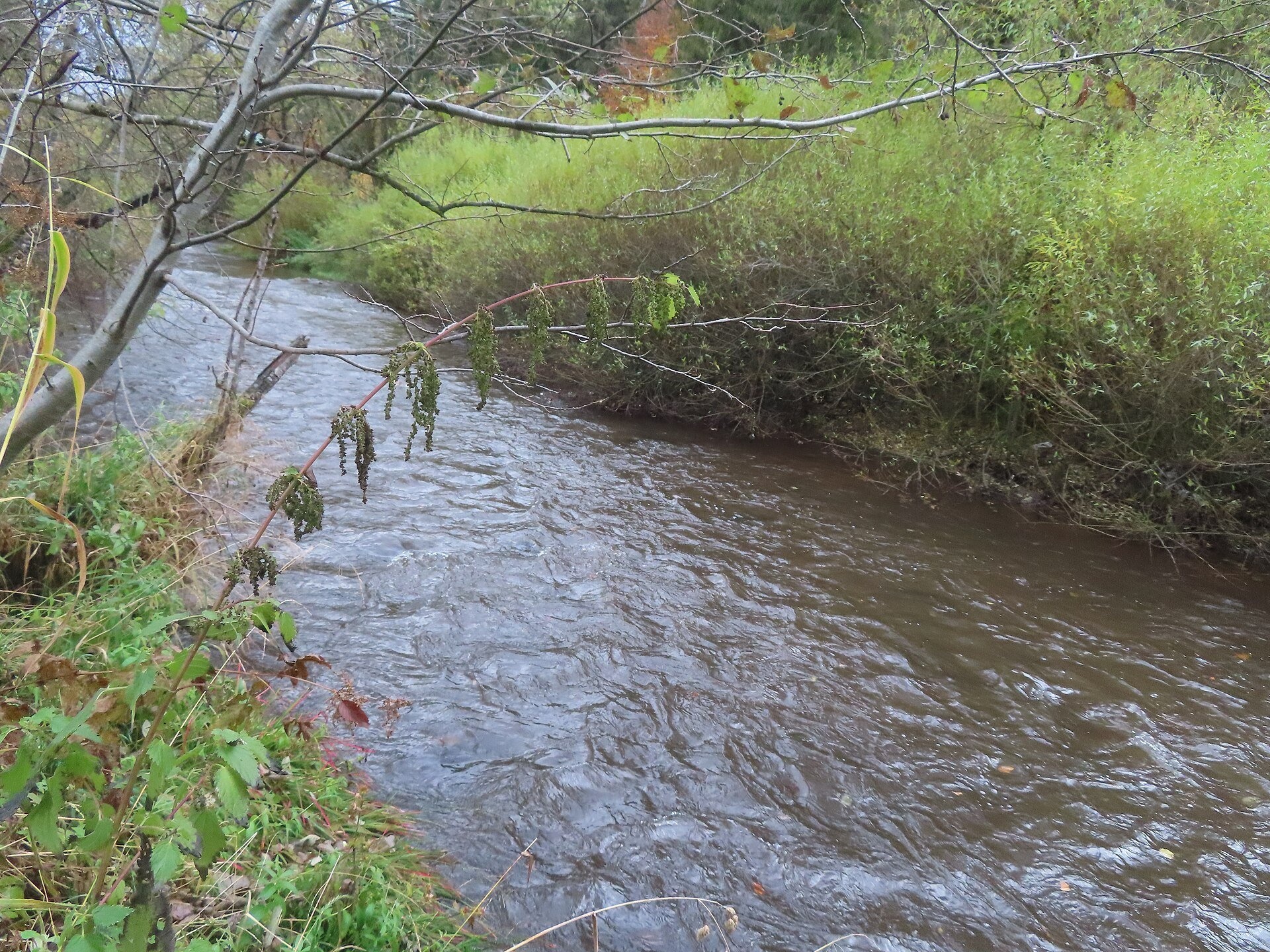
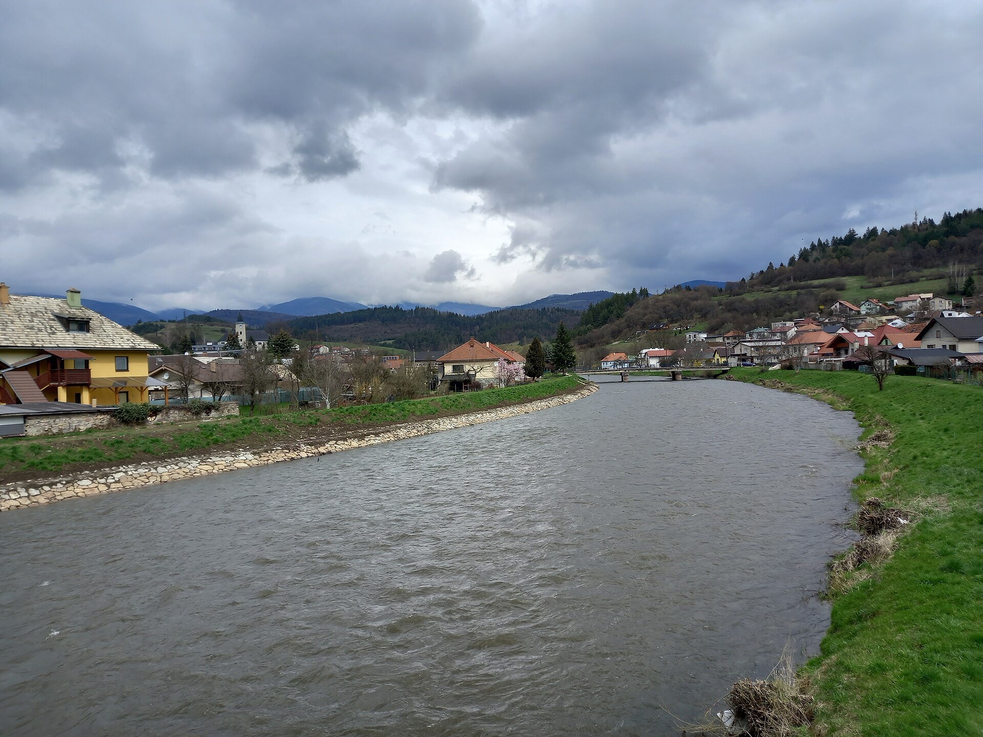
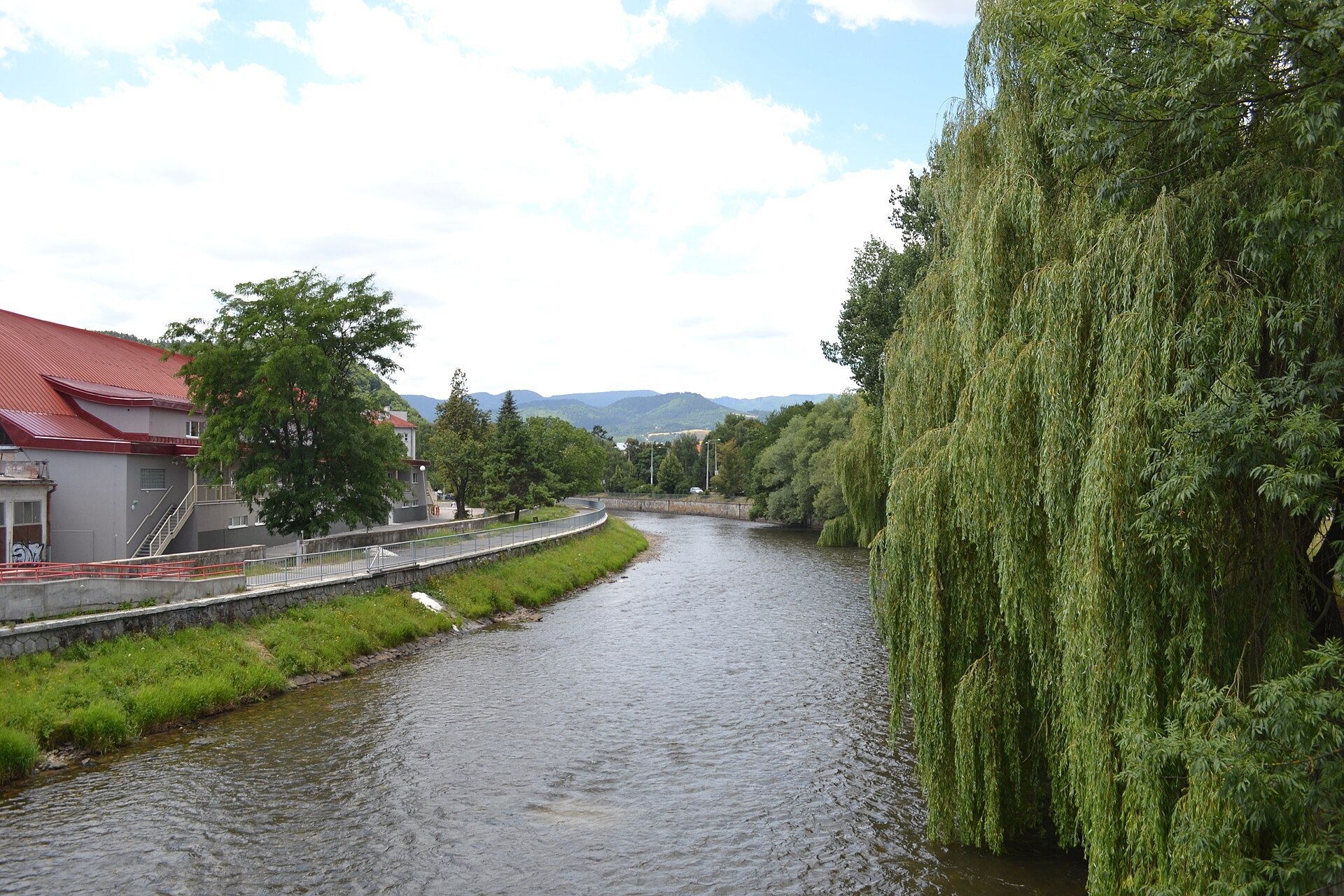
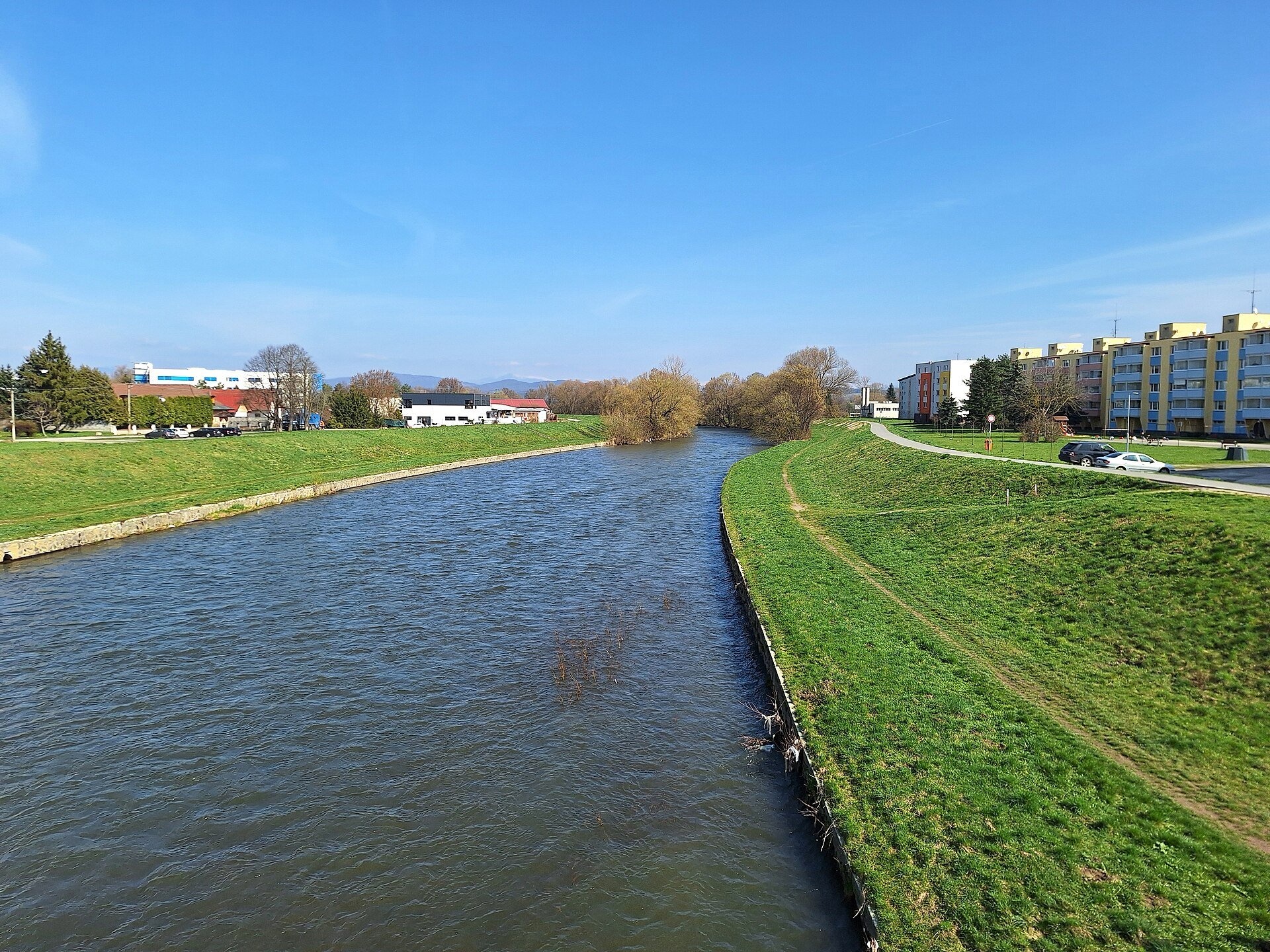
The Hron is a left-bank tributary of the Danube and, after the Váh, the second-longest river flowing only through Slovakia. The Slovak encyclopaedia gives a length of 278 km, the Polish one and Wikidata 298 km; the basin covers about 5,460 km², 11% of the country. The Hron rises in the Low Tatras, flows west through Horehronie, passes Banská Bystrica and Zvolen, crosses the volcanic mountains of central Slovakia and joins the Danube near Štúrovo. Its valley is the main route linking the east and west of the country through the mountains.
The course: from source to mouth
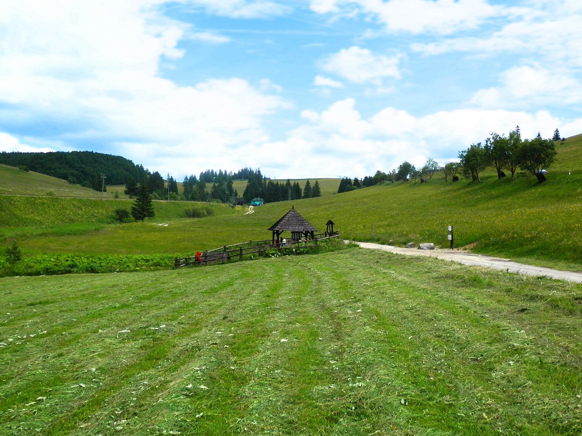
The spring of the Hron lies at about 980 m at the south-eastern foot of Kráľova hoľa, below the Besník saddle, within Low Tatras National Park, about 3 km east of the village of Telgárt. Roughly a kilometre lower, between the road and the railway, a «symbolic spring» has been laid out — a wooden well with a roof, information boards and a small car park; the «Spring of the Hron» educational trail starts here.
In its upper course the Hron flows west along a chain of basins between the Low Tatras on one side and the Muráň karst, the Veporské vrchy and Poľana on the other, gathering mountain streams from both slopes. It passes Heľpa, Brezno and Podbrezová, takes in the Čierny Hron near Valaská and the Bystrica stream in Banská Bystrica. Here the river turns south, after 20 km at Zvolen receives its largest tributary, the Slatina, and turns west again around the Kremnica Mountains. At Žiar nad Hronom the Hron heads south-west through a narrow valley between the Štiavnica Mountains and the Vtáčnik and Pohronský Inovec ranges, passes Nová Baňa, leaves the hills near Kozárovce for the Danube lowland and joins the Danube near Štúrovo. The mean flow grows from 8 m³/s at Brezno and about 28 m³/s at Banská Bystrica to 49.5 m³/s at Nová Baňa.
What to see along the river
- Čierny Hron Forest Railway — a narrow-gauge line in the valley of the Čierny Hron tributary.
- Ľupča Castle — a castle above the Hron valley in Slovenská Ľupča.
- Thurzo House — Central Slovak Museum, Banská Bystrica — in the town that grew on the Hron thanks to its copper mines.
- Urpín — a hill with views over Banská Bystrica and the river valley.
- Zvolen Castle — Slovak National Gallery — in Zvolen, near the confluence of the Hron and the Slatina.
On the water: rafting and kayaking
The Hron is Slovakia's most popular paddling river. Cargo and passenger boats do not use it, but it is navigable for kayaks, canoes and rafts for hundreds of kilometres: at high water trips can start as far up as Heľpa (272 km to the mouth), at medium water at Brezno (241 km) or Podbrezová (231 km), and at low water at Banská Bystrica (197 km). The most paddled stretch is Zvolen – Starý Tekov (about 85 km, roughly three days), and further down from the Slovak Gate to the mouth. Every August a traditional whitewater slalom and the «SNP Voyage on the Hron» start in Zvolen; paddling bases are near Hliník nad Hronom and Revištské Podzámčie. Timber used to be floated down the Hron and its tributaries from the 17th century until the 1930s.
Nature and safety
The spring area is protected by Low Tatras National Park and the «Lúky pod Besníkom» protected site (since 2010); down to Brezno the water is very clean. The Hron has a snow-and-rain regime: it carries most water in April and least in January and February, and the difference between dry and flood years is huge. Major floods struck in 1784, 1813, 1853 and 1974, when the level at Banská Bystrica reached 480 cm and the flow 560 m³/s. Before a trip check the water level and remember the weirs of the hydroelectric plants at Dubová, Zvolen and Žiar nad Hronom. Emergency numbers: 112, in the mountains HZS 18 300.
Nearby: peaks, trails, huts
Above the source rises Kráľova hoľa. From the Hron valley the trails Heľpa, station – Priehyba and Polomka, station – Fabova hoľa – Tisovec, station climb to the Low Tatras ridges, and from Brezno Brezno – Bystrá, station.
Photos: Ing.Mgr.Jozef Kotulič, CC BY-SA 4.0, Wikimedia Commons; Taz, CC BY-SA 4.0, Wikimedia Commons; Matej Grochal, CC BY-SA 4.0, Wikimedia Commons; Ladislav Luppa, CC BY-SA 4.0, Wikimedia Commons; Ladislav Luppa, CC BY 4.0, Wikimedia Commons.
Getting there from Ukraine
Border crossings
- Uzhhorod – Vyšné Nemecké — road, 24/7
- Malyi Bereznyi – Ubľa — road, 24/7 For cars and buses; pedestrians not confirmed by the Ukrainian border service, lorries up to 3.5 t.
- Mali Selmentsi – Veľké Slemence (pedestrian) — pedestrian, 09:00–21:00 Kyiv time Pedestrians and cyclists only; inconvenient for the Tatras without onward transport.
- Chop – Čierna nad Tisou (rail) — rail, 24/7
By car
From Uzhhorod to Brezno ≈274 km, ≈3 h 50 min without queues: Uzhhorod – Vyšné Nemecké → I/19 to Košice → D1 via Prešov and Poprad to the exit near Liptovský Hrádok → I/18 and I/72 over the Čertovica Pass to Brezno. To Banská Bystrica ≈322 km, ≈4 h 30 min: D1 to Ružomberok, then I/59 via Donovaly. From Lviv: to Brezno via Uzhok and Ubľa ≈498 km (≈7 h 45 min) or through Poland ≈554 km (≈7 h 05 min); to Banská Bystrica through Poland (Kraków – Chyżne – Trstená – Dolný Kubín – Ružomberok) ≈535 km, ≈7 h 15 min. The D1 requires an e-vignette (eznamka.sk).
Checked 23.10.2026; border crossing hours and timetables change — check before you travel.
Location on the map
Comments
Trails nearby
All trails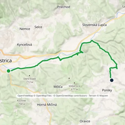 ModerateOne-dayMarkedBanská Bystrica, Podryba Ponická LehôtkaElevation profile350–663 m16.4 kmascent 428 m≈ 5 h walking1.3 km from Hron River
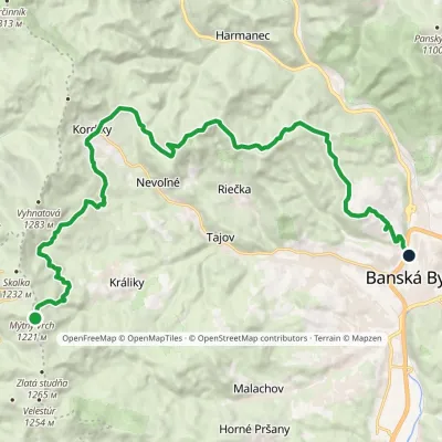 ModerateTwo-dayMarkedKrálické Saddle Banská Bystrica, HámorElevation profile350–1 193 m22.8 kmascent 396 m≈ 6.5 h walking1.4 km from Hron River
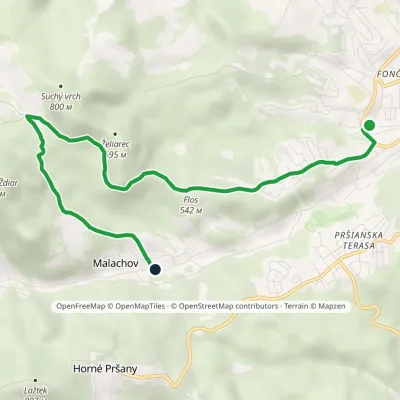 EasyOne-dayMarkedBanská Bystrica, Mládežnícka MalachovElevation profile383–689 m7 kmascent 306 m≈ 2.5 h walking2.2 km from Hron River
Nearby attractions
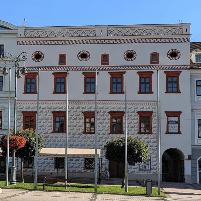 MuseumThurzo House — Central Slovak Museum, Banská BystricaBanská Bystricaunder 1 km from Hron RiverThe Thurzo House (Thurzov dom) is one of the finest buildings on the main SNP Square in Banská Bystrica, with Renaissance sgraffito on its façade and an ornate attic...
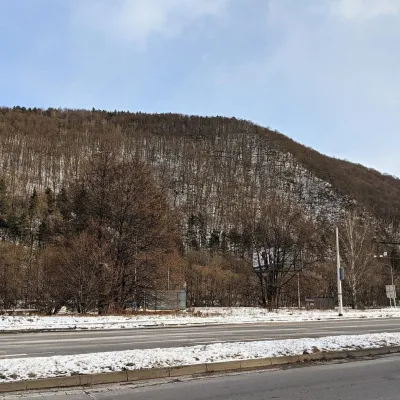 PeakUrpínBanská Bystricaaltitude 510 munder 1 km from Hron RiverUrpín is a low but very prominent 510 m hill in central Slovakia, rising directly above the historic centre of Banská Bystrica on the left bank of the Hron river.
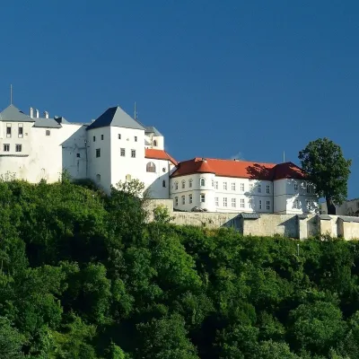 CastleĽupča CastleSlovenská Ľupča11 km from Hron RiverĽupča Castle (Ľupčiansky hrad, Hrad Ľupča) rises above the village of Slovenská Ľupča in the Hron valley, about 10 km east of Banská Bystrica.
Craft nearby
All craft places Craft shopsÚĽUV Banská Bystrica: folk-craft shop and craft schoolBanská Bystricaunder 1 km from Hron RiverÚĽUV (Ústredie ľudovej umeleckej výroby, the Centre for Folk Art Production) is a state institution that has looked after Slovak folk crafts since 1945: it keeps a...
 Craft beer & breweriesUrpiner brewery in Banská Bystrica: tour and beer from the tankBanská Bystrica3.3 km from Hron RiverBanská Bystrica is the centre of Central Slovakia and grew rich on copper mining in the 14th–16th centuries.
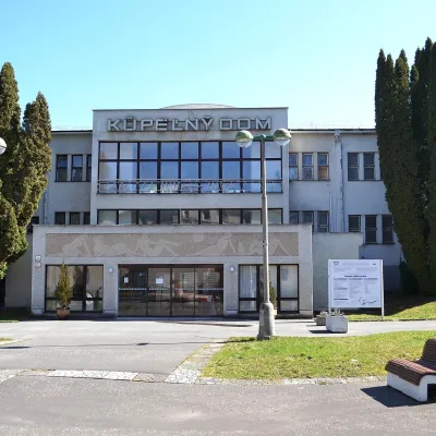 Water parks & thermal poolsSliač spa: warm carbonated water and a thermal swimming areaSliač14 km from Hron RiverSliač is a spa in the Zvolen Basin above the Hron valley, between Zvolen and Banská Bystrica. The spa quarter with its 46-hectare park lies on a slope above the former...
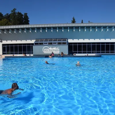 Water parks & thermal poolsKováčová: thermal spa and Holidaypark aquapark near ZvolenKováčová14 km from Hron RiverKováčová is a spa village on the south-western edge of the Zvolen Basin, 4 km west of Zvolen at the foot of the Kremnica Mountains; the village centre lies at 303 m.
 Craft producersKremnica gingerbread: the Haurík family bakery since 1922Kremnica17 km from Hron RiverKremnica is an old mining town in the Kremnica Mountains where coins have been struck for more than six centuries.
 Water parks & thermal poolsBrusno Spa: mineral springs, treatments and Caracalla SpaBrusno19 km from Hron RiverBrusno Spa (Kúpele Brusno) lies in the Hron valley (Horehronie), about 20 km north-east of Banská Bystrica, on the northern slopes of the Vepor massif in the Slovak...
