Skita


What to see nearby
The best within 10 km, as the crow flies
 Church of the Nativity of the Virgin Mary XVII-XVIIIChurch · 1.4 km
 Museum of History and Local LoreMuseum · 2.5 km
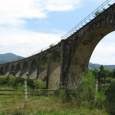 Austrian viaduct bridgeArchitecture · 2.6 km
 Polonyna BorsuchynaMountain meadow · 4.6 km
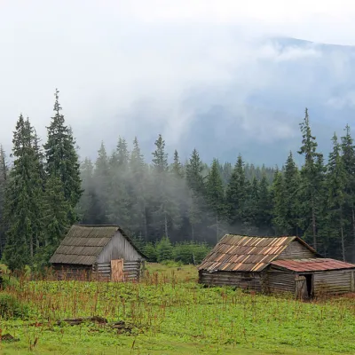 Polonyna KukulMountain meadow · 6.9 km
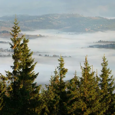 Mount KukulPeak · 7.2 km
Trails starting within 5 km: 10
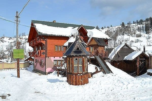
The complex "Skita" is located in a picturesque place in Vorokhta by the Prut River near a hydrogen sulfide spring and a zoo with wild boars and deer. For tourists, a two-story wooden cottage for 10 persons and a three-story wooden cottage for 32 persons are offered. Neat wooden rooms, warm in winter and cool in summer, are equipped with comfortable furniture, television, individual bathrooms with shower cabins, and hairdryers. Guests have access to WI-FI, a sauna with a pool and a tub (for a fee), gazebos with a barbecue (firewood for a fee), billiards, and table tennis (for a fee). The hosts can organize excursions, horseback rides, mountain hikes (to Hoverla), and mushroom and berry picking. The hotel offers the option of ordering two meals a day. Laundry services are available for a fee. Accommodation with pets up to 3 kg is possible only by prior arrangement with the hotel, and the cost should be clarified. The distance to the lift in Vorokhta is 3 km, and to the lifts in Bukovel is 22 km. The nearest shop is located 600 meters away, and the restaurant is 800 meters away.
Availability and cost of an extra bed should be clarified when booking.
From Lviv, take the train Lviv - Rakhiv to Vorokhta station, where the hosts will meet guests by car. By minibus from Lviv (from the railway station or from the Stryiskyi bus station), or by bus "Lviv-Vorokhta" to the final stop Vorokhta, "eighth shop". From Ivano-Frankivsk, there are minivans to Vorokhta that leave every hour. By car to Ivano-Frankivsk, then along the N-09 highway to the village of Tatariv, where at the T-shaped intersection, turn left and drive along the R-24 highway. GPS coordinates: N: 48.27496 E: 24.58451
Two meals a day can be ordered. A kitchen for self-cooking is only available in the 10-person cottage.
Location on the map
Reviews
Nearby attractions
 Mountain meadowPolonyna LabieskaVorokhtaaltitude 1 410 m · Kukul range6.3 km from SkitaPolonyna Labieska (also spelled Labeska) lies on the northern slopes of the Kukul ridge, between Mount Kukul (1539 m) and Mount Kychera above Vorokhta, in Nadvirna...
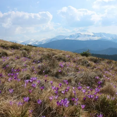 Mountain meadowPolonyna ZakukulVorokhtaaltitude 1 430 m7.5 km from SkitaPolonyna Zakukul lies on the south-eastern slope of Mount Kukul (1539 m), the highest summit of the ridge of the same name that runs north of the main Chornohora ridge.
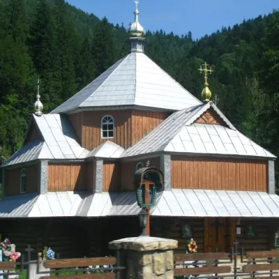 ChurchChurch of St. Demetrius of Thessaloniki, TatarivTatariv7.8 km from SkitaDemetrius of Thessalonica in the small village of Tatariv was built in 1870. The church was erected in honor of the righteous great martyr Dmytro Slutsky.
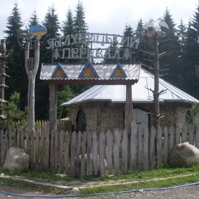 SightYablunytskyi pass, YablunytsiaYablunytsia8.9 km from SkitaYablunytskyi Pass is a transportation artery that connects Ivano-Frankivsk and Zakarpattia regions. There are observation decks on the pass that offer a beautiful and...
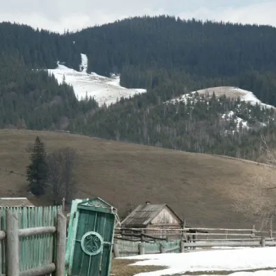 NatureKryvopillia Pass, KryvopilliaKryvopillia9.4 km from SkitaKryvopillia Pass is one of the most difficult passes in the Ukrainian Carpathians. It is located within the Verkhovyna-Putyla lowlands (in its northwestern part), on...
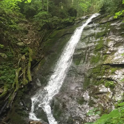 WaterfallNarinetskyi waterfall, MykulychynMykulychyn13 km from SkitaNarinetskyi Waterfall is a waterfall in the Ukrainian Carpathians, on the Noretskyi Stream (a left tributary of the Zhenets River).
Craft nearby
All craft places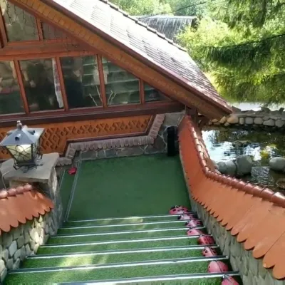 Koliby & Hutsul cuisineStara Vorokhta Restaurant, VorokhtaVorokhta2.3 km from SkitaStara Vorokhta restaurant ("Old Vorokhta") is one of the best-known places for Hutsul food in Vorokhta: on Google Maps it is rated 4.6 from more than 6,300 reviews, a...
 Markets & fairsSouvenir Bazaar by the Ski Jumps, VorokhtaVorokhta2.9 km from SkitaThe souvenir bazaar in Vorokhta is one of the busiest little trading spots in the mountain Hutsul region.
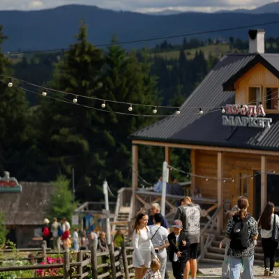 Mountain meadowPolonyna Pertsi Ethno Park, YablunytsiaYablunytsiaaltitude 940 m · Kukul range10 km from SkitaPolonyna Pertsi (“Pepper Meadow”) is an ethno park of Hutsul traditions in Yablunytsia, close to the Yablunytsia Pass.
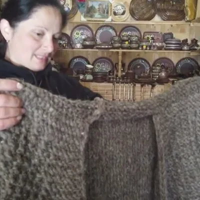 Markets & fairsSouvenir Market on the Yablunytsia Pass, YablunytsiaYablunytsia11 km from SkitaThe souvenir market on the Yablunytsia Pass is one of the best-known roadside bazaars in the Carpathians.
 Theme parksDinoPark, Polianytsia (Bukovel)Yablunytsia11 km from SkitaDinoPark in Polianytsia is an open-air dinosaur theme park at the entrance to Bukovel resort. It is easy to spot from the road: a huge dinosaur figure stands right by...
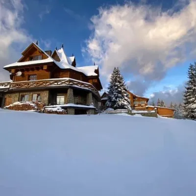 Koliby & Hutsul cuisineVysokyi Pereval Koliba, YablunytsiaYablunytsia11 km from SkitaVysokyi Pereval Koliba ("High Pass") stands in Yablunytsia, on the new road to Bukovel, in the Horishkiv area.
Peaks nearby
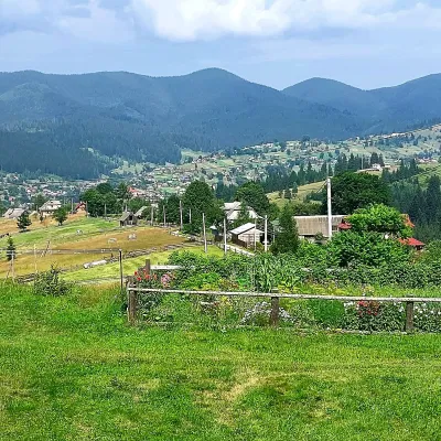 PeakMount OseredokVorokhtaaltitude 915 m · Chornohora range2.9 km from Skita1 trail to the topOseredok is a modest 915 m summit right above Vorokhta (about 2 km), north of the Chornohora range, in Ivano-Frankivsk Oblast.
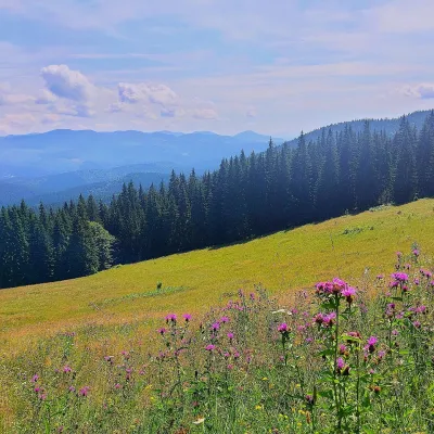 PeakMount Kychera (Vorokhta)Vorokhtaaltitude 1 225 m · Chornohora range4.2 km from SkitaKychera is a 1,225 m summit north of the Chornohora range, in Ivano-Frankivsk Oblast. It lies between Vorokhta (about 4.5 km) and Mount Kukul (1,539 m), about 3.2 km...
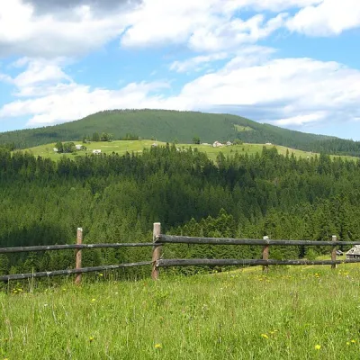 PeakMount Magura, TatarivTatarivaltitude 1 288 m · Gorgany range5.7 km from SkitaMagura (1288 m) is a forested ridge in the Gorgany range between Tatariv, Yablunytsia and Vorokhta, within the Carpathian National Nature Park.
Trails nearby
All trails EasyOne-dayMarkedMount Kukul VorokhtaElevation profile765–1 539 m9.2 kmascent 53 m≈ 2.5 h walkingunder 1 km from Skita
 HardMulti-dayYasinia to Vorokhtavia Mount Petros, Mount Hoverla +2Elevation profile655–2 061 m60.3 kmascent 2 233 munder 1 km from Skita
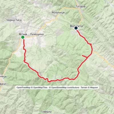 HardMulti-dayYasinia to Vorokhtavia Mount Petros, Mount HoverlaElevation profile657–2 061 m51.7 kmascent 2 117 munder 1 km from Skita
