Mim


What to see nearby
The best within 10 km, as the crow flies
 Church of the Nativity of the Virgin Mary XVII-XVIIIChurch · 300 m
 Museum of History and Local LoreMuseum · 1.2 km
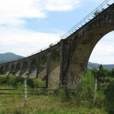 Austrian viaduct bridgeArchitecture · 1.4 km
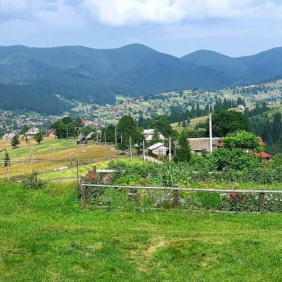 Mount OseredokPeak · 2.1 km
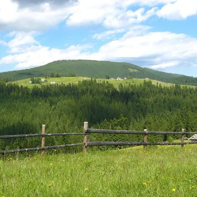 Mount MaguraPeak · 4.6 km
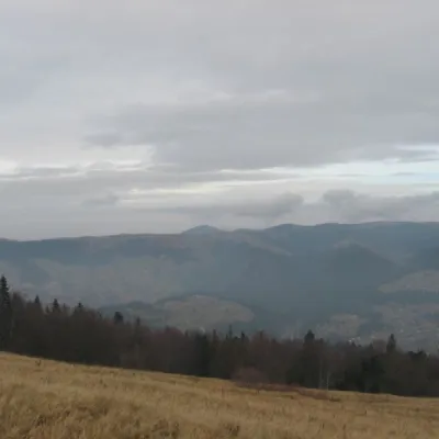 Polonyna BorsuchynaMountain meadow · 5.1 km
Trails starting within 5 km: 16
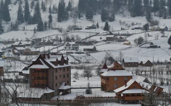
The Hotel "Mim" is located in the village of Vorokhta, 2 km from the city center. It is a 5-story cottage and has 16 standard category rooms, accommodating from 2 to 6 people. On the first floor, there is a dining room for 50 seats. The well-equipped area has parking for cars. Guests can enjoy a sauna, which can accommodate up to 10 people, a vat - sauna and vat usage for an additional fee, a barbecue (firewood for a fee), and a children's playground. The distance to the nearest ski lift in Vorokhta is 3.5 km.
The distance from the Hotel "Mim" to the bus station in Vorokhta is 500 m, and to the railway station in Vorokhta - 2.2 km.
There is an option to provide extra beds for an additional fee. The cost of accommodation with children will be clarified during booking.
By public transport: take the bus from Ivano-Frankivsk to Verkhovyna to Vorokhta, get off near the "MIM" store. Another option is to take the train from Lviv to Rakhiv, Kyiv to Rakhiv, or a suburban train from Ivano-Frankivsk. Then, it is necessary to arrange a meeting with the hosts in advance. By car: follow the N-09 highway from Ivano-Frankivsk to the village of Tatariv. In Tatariv, turn according to the signs to Kosiv (R-24 Tatariv-Verkhovyna road), drive to the town of Vorokhta. Pass the center, the "MIM" store, and after 150 m, enter the bridge over the Prut River. After the bridge, turn right (to another bridge) and keep to the right side, driving along the river for another 300 m. Then turn right and go straight to the end of the street. Alternatively, the "MIM" store will explain in detail how to walk or drive to the hotel.
The tourist tax is included in the accommodation price.
For an additional fee, you can order a two-meal plan. The nearest restaurant, café is 500 m away, and the store is 200 m away.
Location on the map
Reviews
Nearby attractions
 Mountain meadowPolonyna LabieskaVorokhtaaltitude 1 410 m · Kukul range6.6 km from MimPolonyna Labieska (also spelled Labeska) lies on the northern slopes of the Kukul ridge, between Mount Kukul (1539 m) and Mount Kychera above Vorokhta, in Nadvirna...
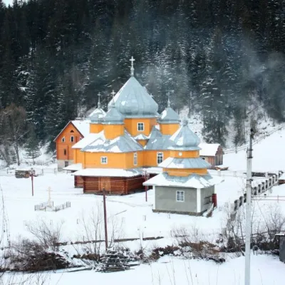 ChurchChurch of St. Basil the Great, YablunytsiaYablunytsia7 km from MimBasil the Great is a functioning church of the Yaremche Deanery of the Kolomyia Eparchy of the Ukrainian Orthodox Church-Kyivan Patriarchate in the village of...
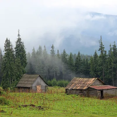 Mountain meadowPolonyna Kukul (Kukul), VoronenkoVoronenkoaltitude 1 440 m7.2 km from MimPolonyna Kukul is a mountain meadow in the Ukrainian Carpathians, within the Kukul ridge (Kukul mountain - 1539 m), administratively located within the Zakarpattia...
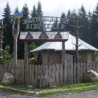 SightYablunytskyi pass, YablunytsiaYablunytsia7.6 km from MimYablunytskyi Pass is a transportation artery that connects Ivano-Frankivsk and Zakarpattia regions. There are observation decks on the pass that offer a beautiful and...
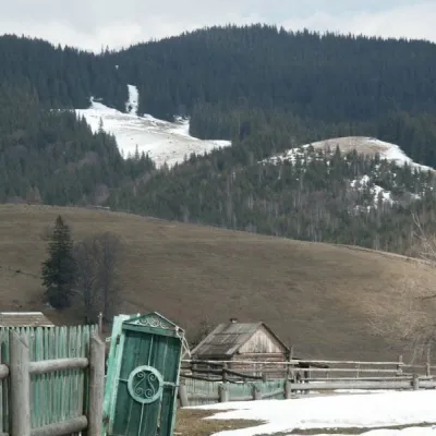 NatureKryvopillia Pass, KryvopilliaKryvopillia11 km from MimKryvopillia Pass is one of the most difficult passes in the Ukrainian Carpathians. It is located within the Verkhovyna-Putyla lowlands (in its northwestern part), on...
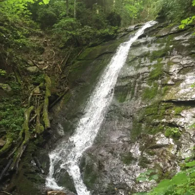 WaterfallNarinetskyi waterfall, MykulychynMykulychyn12 km from MimNarinetskyi Waterfall is a waterfall in the Ukrainian Carpathians, on the Noretskyi Stream (a left tributary of the Zhenets River).
Craft nearby
All craft places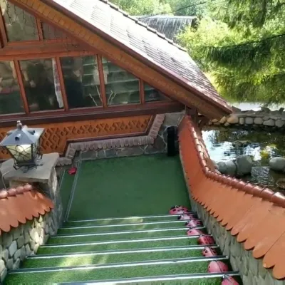 Koliby & Hutsul cuisineStara Vorokhta Restaurant, VorokhtaVorokhta1.1 km from MimStara Vorokhta restaurant ("Old Vorokhta") is one of the best-known places for Hutsul food in Vorokhta: on Google Maps it is rated 4.6 from more than 6,300 reviews, a...
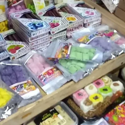 Markets & fairsSouvenir Bazaar by the Ski Jumps, VorokhtaVorokhta2 km from MimThe souvenir bazaar in Vorokhta is one of the busiest little trading spots in the mountain Hutsul region.
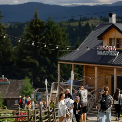 Mountain meadowPolonyna Pertsi Ethno Park, YablunytsiaYablunytsiaaltitude 940 m · Kukul range9.1 km from MimPolonyna Pertsi (“Pepper Meadow”) is an ethno park of Hutsul traditions in Yablunytsia, close to the Yablunytsia Pass.
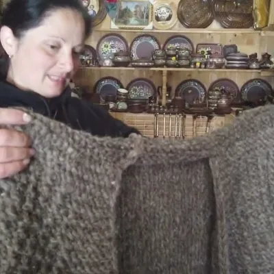 Markets & fairsSouvenir Market on the Yablunytsia Pass, YablunytsiaYablunytsia9.4 km from MimThe souvenir market on the Yablunytsia Pass is one of the best-known roadside bazaars in the Carpathians.
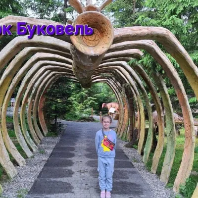 Theme parksDinoPark, Polianytsia (Bukovel)Yablunytsia9.9 km from MimDinoPark in Polianytsia is an open-air dinosaur theme park at the entrance to Bukovel resort. It is easy to spot from the road: a huge dinosaur figure stands right by...
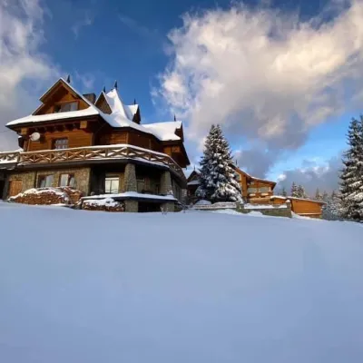 Koliby & Hutsul cuisineVysokyi Pereval Koliba, YablunytsiaYablunytsia9.9 km from MimVysokyi Pereval Koliba ("High Pass") stands in Yablunytsia, on the new road to Bukovel, in the Horishkiv area.
Peaks nearby
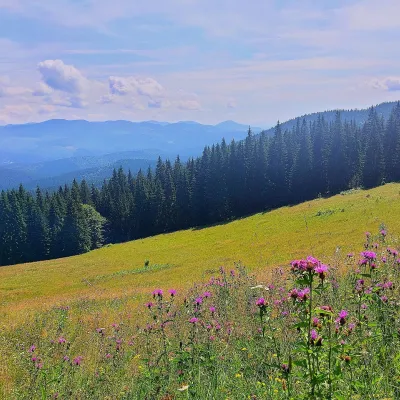 PeakMount Kychera (Vorokhta)Vorokhtaaltitude 1 225 m · Chornohora range4.4 km from MimKychera is a 1,225 m summit north of the Chornohora range, in Ivano-Frankivsk Oblast. It lies between Vorokhta (about 4.5 km) and Mount Kukul (1,539 m), about 3.2 km...
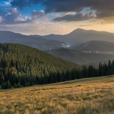 PeakMount Pid-BerdyVoronenkoaltitude 1 388 m · Kukul range6.7 km from MimPid-Berdy (1388 m) is a summit on the Kukul ridge, a northern spur of Chornohora in the Ukrainian Carpathians.
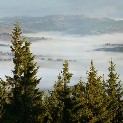 PeakMount KukulVorokhtaaltitude 1 539 m7.5 km from Mim20 trails to the topKukul (another name - Kukul) is a 1539-meter peak in the Ukrainian Carpathians, which is located in the northern direction of the Chornohora mountain range.
Trails nearby
All trails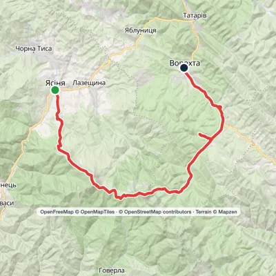 HardMulti-dayYasinia to Vorokhtavia Mount Petros, Mount HoverlaElevation profile657–2 061 m51.7 kmascent 2 117 munder 1 km from Mim
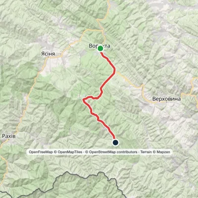 HardMulti-dayVorokhta to Mount Pip Ivan Chornohirskyivia Zaroslyak base, Mount Hoverla +2Elevation profile746–2 061 m42.2 kmascent 2 222 munder 1 km from Mim
 HardMulti-dayVorokhta to Lake Brebeneskulvia Mount Shpytsi, Mount RebraElevation profile748–2 001 m28.3 kmascent 1 280 m≈ 9.5 h walkingunder 1 km from Mim
