Richka


What to see nearby
The best within 10 km, as the crow flies
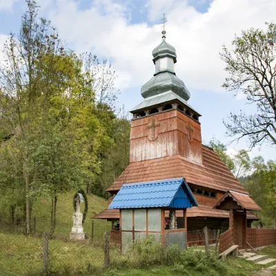 Church of the Presentation of the Blessed Virgin MaryChurch · 4.3 kmMount ZvirPeak · 5.0 km
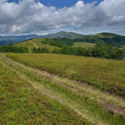 Mount KycheraPeak · 5.3 km
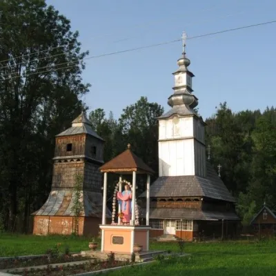 St. Nicholas ChurchChurch · 6.2 km
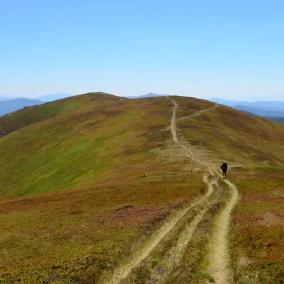 Mount Zhid-MaguraPeak · 8.2 km
 Polonyna-KukMountain meadow · 9.9 km
Trails starting within 5 km: 2
Recommended excursion routes: - Shypit waterfall (height 14 m). Annually since 1993, the waterfall gathers guests for the informal festival "Shypot", as well as for the celebration of Ivan Kupala (July 7) - the Church of the Nativity of the Blessed Virgin Mary - a wooden church that has preserved an 18th-century iconostasis. Nearby stands a monumental two-tier wooden bell tower - the village of Kelechyn, where there is a unique source of naturally carbonated mineral water (7 km) - Torun Pass (36 km) - the legendary Synevyr Lake (38 km)
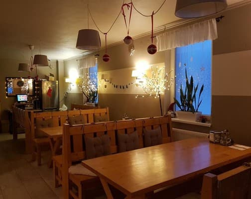
The Villa "Richka" is located in a beautiful place surrounded by mountains in the village of Richka and 100 meters from the river. Each room in the holiday home of the villa "Richka" is decorated in a country style in light colors. All rooms have a flat-screen TV and a private bathroom. Some rooms (for 10 persons) have a kitchen. Barbecue facilities are also provided. Guests have access to a seasonal outdoor pool and sauna.
The surroundings of the holiday home are ideal for hiking and cycling, fishing, and horseback riding. There is a ski storage room on the premises. Shypit waterfall and Synevyr Lake are located 30 km from Villa Richka. Buses stop 100 meters from the villa. The distance from Villa "Richka" to the bus station and railway station in Volovets is 28.3 km. Uzhhorod Airport is 112 km from the villa.
Children under 3 years stay free of charge without providing an extra bed.
Extra beds are not provided.
3 km from the village of Richka, next to the highway Volovets-Mizhhirya, in the village of Kelechyn, there is a unique source of naturally carbonated mineral water, which is used for drinking treatment and baths for diseases of the digestive and cardiovascular systems.
From Kyiv: Option 1: By train "Kyiv-Chop" to Volovets station; By train "Kyiv-Uzhhorod" to Volovets station; Then by bus or taxi to the base (30 km). Option 2: By car along the M06 Kyiv-Chop highway to the checkpoint in the village of Nyzhni Voryta, then turn to the town of Volovets (14 km). After the town of Volovets, at the roundabout, turn left to the village of Richka (30 km). From Lviv: Option 1: By electric train: Lviv - Mukachevo to Volovets station, then by bus or taxi to the base in the village of Richka (30 km) Option 2. By plane to Lviv or Uzhhorod. From Lviv to the village of Richka 220 km - 2.5 hours by car, from Uzhhorod to the village of Richka - 125 km. From Moscow: By train "Moscow-Uzhhorod", "Moscow-Chop" to Volovets station; Then by bus or taxi to the base (30 km).
On the 1st floor, there is a kitchen for self-catering. There is also an option to order meals (homemade cuisine).
Location on the map
Reviews
Nearby attractions
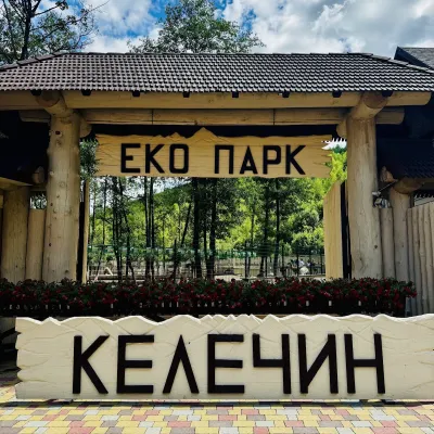 Wildlife parks & animal farmsKelechyn Eco Park, KelechynKelechyn1.9 km from RichkaKelechyn Eco Park is a small petting park in the village of Kelechyn in Zakarpattia, on the road from Mizhhiria towards Volovets.
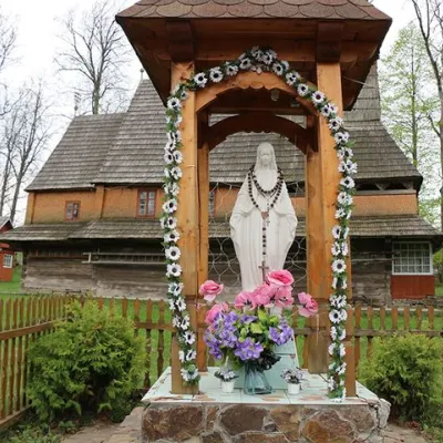 ChurchChurch of the Nativity of the Blessed Virgin Mary, PylypetsPylypets9.2 km from RichkaOne of them is the wooden Church of the Nativity of the Blessed Virgin Mary, which is located in the village of Pylypets, Mizhhirya district , Transcarpathian region.
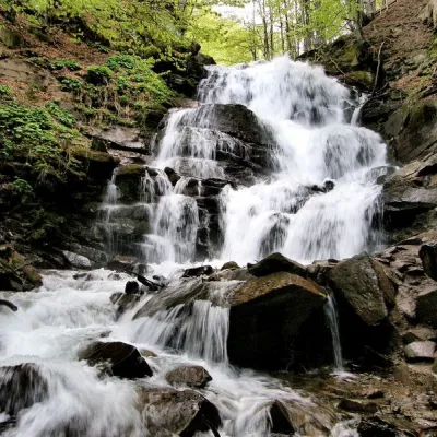 Waterfall"Shypit Waterfall" PylypetsPylypets11 km from RichkaIn a cozy corner of the Carpathian Mountains, among the evergreen mountain forests and steep, sharp cliffs, lies the most full-flowing and beautiful waterfall in...
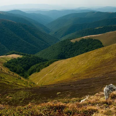 Mountain meadowPolonyna BorzhavaPylypetsaltitude 1 400 m13 km from RichkaPolonyna Borzhava is the longest polonyna massif in Zakarpattia and one of the best known in the Polonynskyi Ridge of the Ukrainian Carpathians.
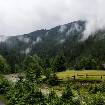 NatureSynevyr (Mizhhirya) PassMizhhiria16 km from RichkaThe Synevyr Pass (also called the Mizhhiria Pass) is a pass in the Ukrainian Carpathians, in the southwestern outskirts of the Inner Gorgany massif.
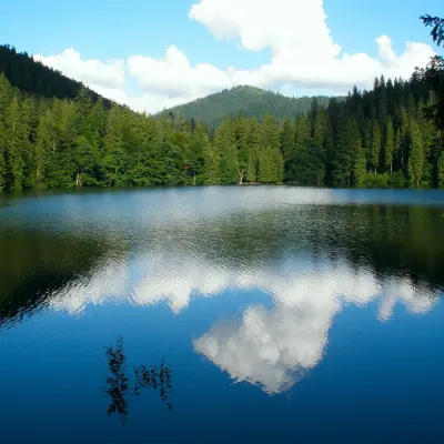 LakeSynevyr Lake Synevyrska PolyanaSynevyrska Polyana22 km from RichkaLake Synevyr, located on the territory of the National Nature Park of the same name in Mizhhirya district of Zakarpattia region, is the largest and one of the most...
Craft nearby
All craft places Cheese dairies & pasturesIZKI Highland Cheese Dairy, IzkyIzky6.5 km from RichkaThe IZKI cheese dairy is the culinary highlight of the eco-resort of the same name in the village of Izky, Zakarpattia.
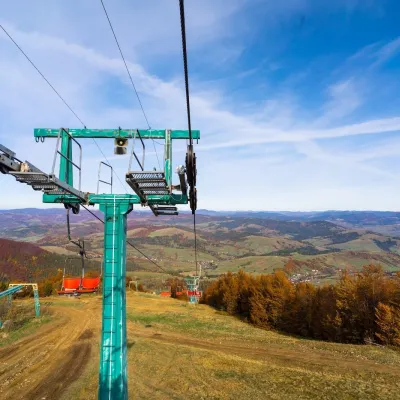 Adventures & attractionsPylypets Sky & Bike Park: chairlift and bike park, PylypetsPylypets11 km from RichkaPylypets Sky & Bike Park is a chairlift and bike park in the Zakarpattia village of Pylypets, one of the region’s best-loved ski resorts.
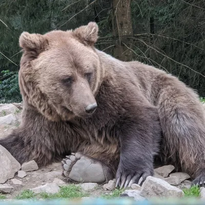 Wildlife parks & animal farmsBrown Bear Rehabilitation Centre, Synevyr National Park, Synevyrska PolianaSynevyrska Polyana20 km from RichkaThe Brown Bear Rehabilitation Centre of Synevyr National Nature Park is Ukraine’s largest refuge for bears that have suffered from cruel treatment.
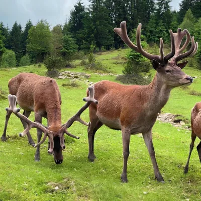 Wildlife parks & animal farmsBioPark Synevyr – Africa in the Carpathians, Synevyrska PolianaSynevyrska Polyana20 km from RichkaBioPark Synevyr – Africa in the Carpathians is a hands-on animal park in the Rabachynka area near Synevyrska Poliana, in the valley of the Chorna river.
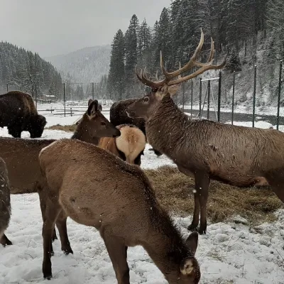 Wildlife parks & animal farmsWolf Valley Eco Park, Synevyrska PolianaSynevyrska Polyana20 km from RichkaWolf Valley Eco Park (Dolyna Vovkiv) is a private animal park in Synevyrska Poliana, in the Mizhhiria area of Zakarpattia, where several kinds of wolves, red deer,...
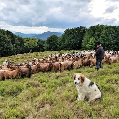 Cheese dairies & pasturesVivcharskyi Khutir Sheep Farm, Synevyrska PolianaSynevyrska Polyana21 km from Richka"Vivcharskyi Khutir" ("Shepherd's Homestead") is an ethno-centre and sheep farm in Synevyrska Poliana, near Lake Synevyr.
Peaks nearby
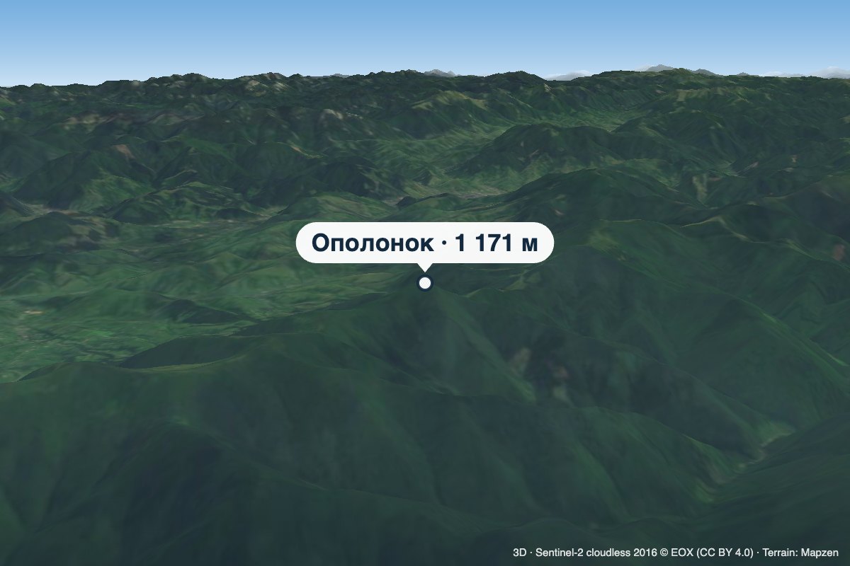 PeakMount OpolonokTiushkaaltitude 1 171 m · Borzhava range5.4 km from RichkaOpolonok is a 1,171 m summit on the main crest of Polonyna Borzhava in Zakarpattia Oblast. From here, after crossing the Pryslip pass, the Borzhava crest starts to...
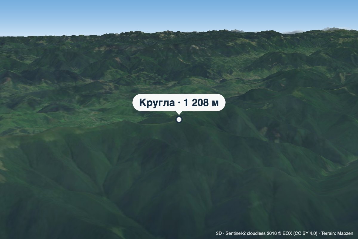 PeakMount KruhlaPotikaltitude 1 208 m · Borzhava range5.6 km from RichkaKruhla is a 1,208 m summit on the main crest of Polonyna Borzhava in Zakarpattia Oblast, in its south-eastern part that descends towards Mizhhiria.
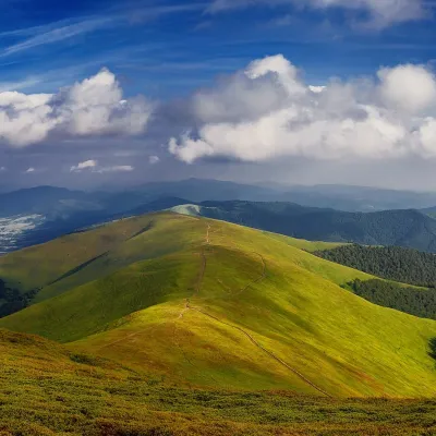 PeakMount HrabPotikaltitude 1 374 m · Borzhava range6.5 km from RichkaHrab is a summit in the Polonyna Borzhava massif (Ukrainian Carpathians) on the border of the Svaliava and Mizhhiria districts of Zakarpattia Oblast, south-west of the...
Trails nearby
All trails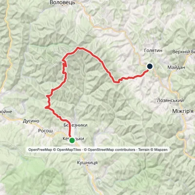 HardMulti-dayKerechky village to Rychka villagevia Mount Stiy, Mount Velykyi Verkh +2Elevation profile266–1 681 m48.3 kmascent 2 244 munder 1 km from Richka
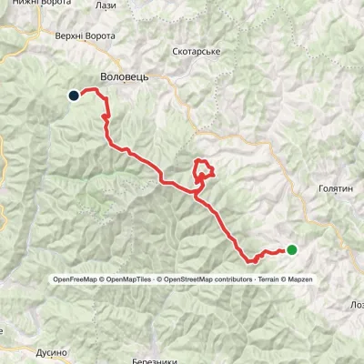 HardMulti-dayRychka village to Volovetsvia Mount Zhyd-Mahura, Mount Hemba +2Elevation profile450–1 598 m40.3 kmascent 2 201 m1.4 km from Richka
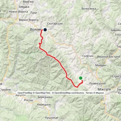 HardMulti-dayMarkedTiushka village to Volovetsvia Mount Zhyd-Mahura, Mount Hemba +1Elevation profile495–1 598 m35.2 kmascent 1 546 m≈ 12 h walking2.9 km from Richka
