Synevyr (Mizhhirya) Pass
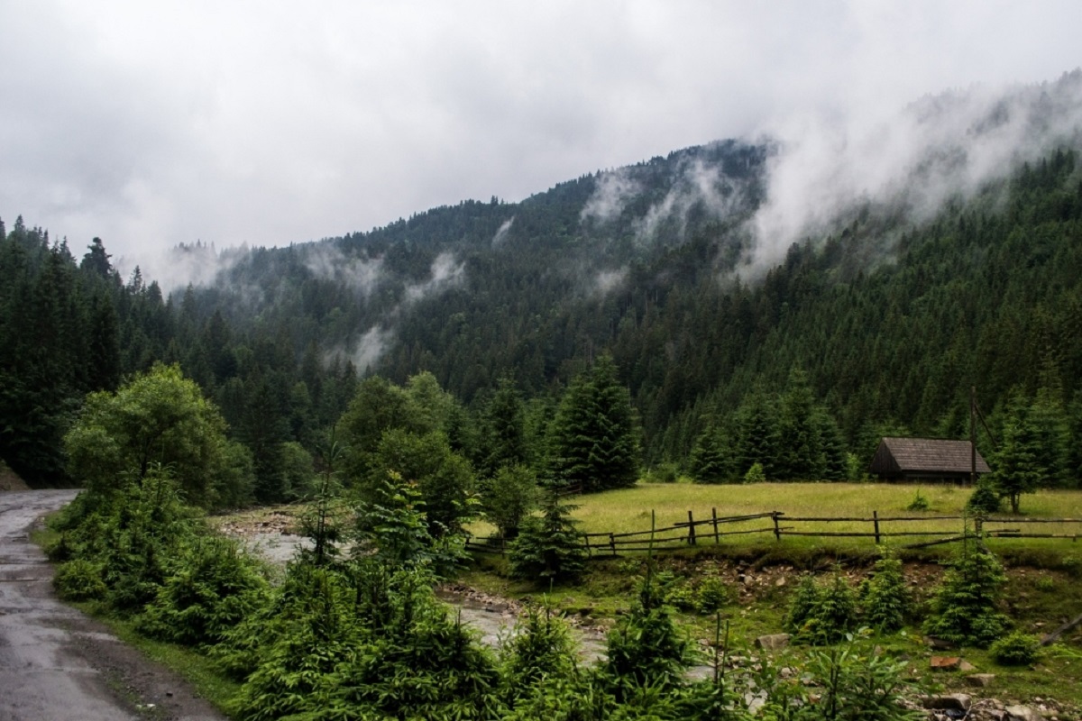
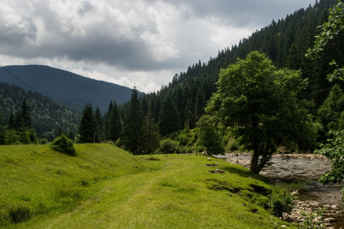
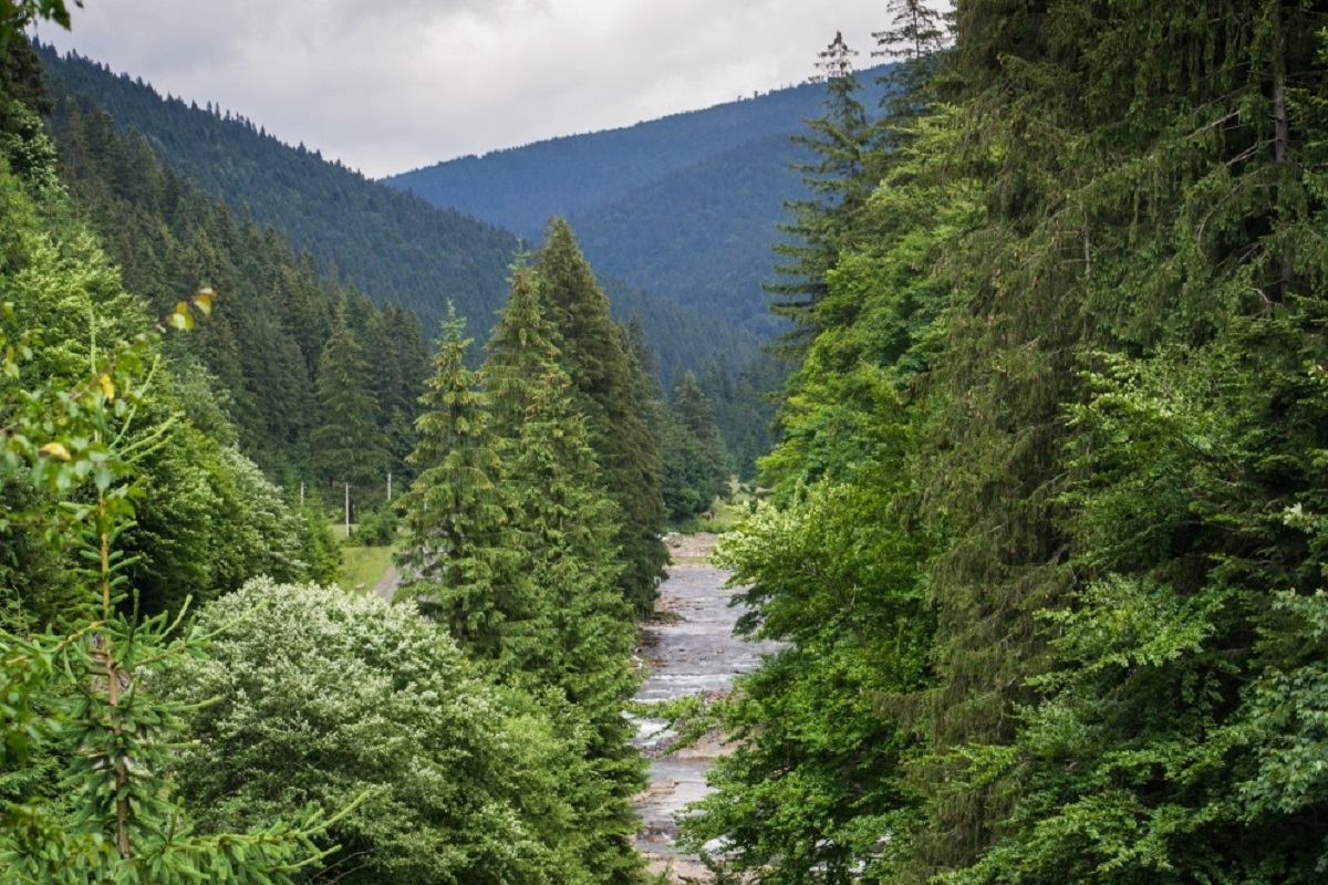
The Synevyr Pass (also called the Mizhhiria Pass) is a pass in the Ukrainian Carpathians, in the southwestern outskirts of the Inner Gorgany massif. It is located in Mizhhiria district of Zakarpattia region, between the village of Mizhhiria and the village of Synevyr.
Synevyr Pass is located at an altitude of 793 meters above sea level. The slopes are steep, sometimes forested, and dominated by meadows. The highway T 0720 passes through the pass.
To the north of the pass is the Omnozhansky Nature Reserve, and to the east is the Synevyr National Nature Park. The pass is the starting point of a hiking trail to Kamyanka and Lake Synevyr. Kamyanka and the Synevyr Lake.
The Mezhyhirya Pass is rightfully considered the gateway to the plains of Zakarpattia. This place has been passed at least once by everyone who was on their way to Mukachevo or Uzhhorod. A well-developed transportation network makes the pass a favorite tourist destination, which is rightfully considered a real business card of Transcarpathia.
Accommodation around Synevyr (Mizhhirya) Pass:


Nearby hiking trails near Synevyr (Mizhhirya) Pass:
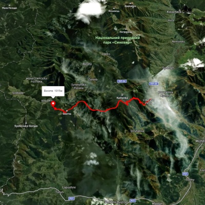
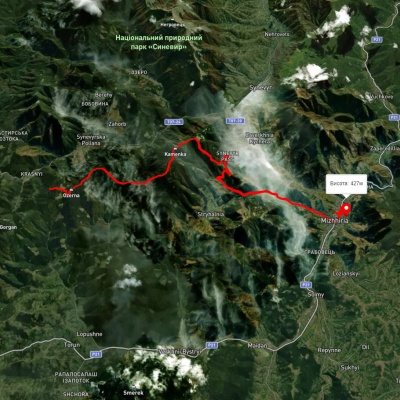
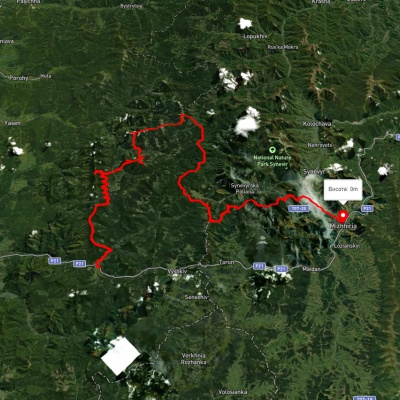
Which trails pass by Synevyr (Mizhhirya) Pass?
We suggest these hiking trails through or near Synevyr (Mizhhirya) Pass: Synevyr Pass – Mount Ozerna – Lake Synevyr, Lake Synevyr, via Mount Ozerna, Mount Kamianka, the Synevyr Pass and Kychera ridge to Mizhhiria, Myslivka village, via Mount Moloda, Mount Popadia, Svoboda village, Lake Synevyr and Mount Ozerna to Mizhhiria, Synevyr Pass, via Mizhhiria, Mount Zhyd-Mahura, Mount Hemba and Shypit Waterfall to Volovets, Transcarpathian Tourist Trail, Lake Synevyr, via Mount Ozerna, Mount Kamianka, the Synevyr Pass and Kychera ridge to Mizhhiria