Mount Lystkovania
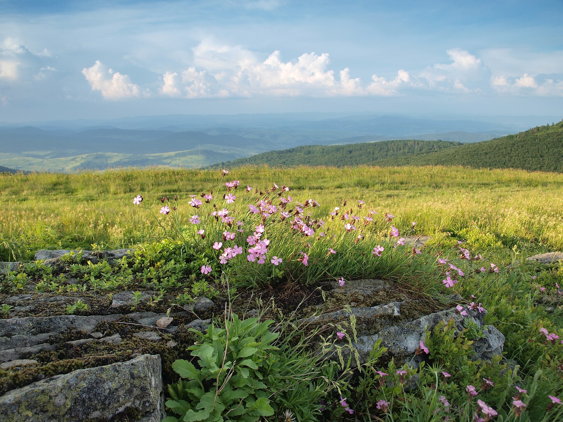
Lystkovania (also spelled Lystkovannia) is a 1,248 m summit on the Vododilnyi (Verkhovyna Watershed) Ridge, on the border of Lviv and Zakarpattia oblasts. It rises right above the Ruska Put pass (1,217 m), which separates it from neighbouring Velykyi Verkh (1,309 m, about 1.3 km to the south-east). The nearest villages are Perekhresnyi on the Zakarpattia side and Lybokhora on the Lviv side, both about 3.6–3.7 km away.
North-west of the summit the crest leads over Behar (1,280 m, about 800 m away) to Zhurovka (1,226 m, about 2 km), while beyond Velykyi Verkh, about 3 km to the south-east, you can see Hostryi Verkh (1,294 m). A path over the Ruska Put pass links Bilasovytsia on the Zakarpattia side with Lybokhora on the Lviv side.
How to get there
The Transcarpathian Tourist Trail and 11 more of our routes follow the crest over Lystkovania, all within 80 m of the top. Convenient options:
- Uzhok – Mount Drohobytskyi Kamin – Mount Starostyna – Mount Velykyi Verkh, 18.2 km — from the west, from the Uzhok Pass;
- Bilasovytsia – Mount Pikui – Mount Velykyi Verkh – Mount Starostyna, 22.1 km — from the east;
- Sianky – Mount Starostyna – Mount Velykyi Verkh – Mount Pikui, 31.9 km;
- Bilasovytsia – Mount Pikui – Ruska Put pass – Drohobytskyi Kamin – Uzhok, 37.1 km (about 2,000 m of ascent).
The route Lybokhora – Mount Velykyi Verkh – Mount Pikui – Bilasovytsia (21.1 km) reaches the crest about 700 m from the summit.
Water, shelter and safety
Our map shows several springs around the summit: about 560 m to the west (at about 1,200 m), 570–620 m to the south-east (1,150–1,160 m) and 680 m to the east, towards Lybokhora (1,131 m). Their condition is unknown. There is no shelter nearby, so bring your own tent for a night out. The crest is exposed to wind and thunderstorms, and in fog it is easy to take the wrong path on the broad pasture around the pass. The nearest summit with our 7-day forecast is Stii on the Borzhava, about 36 km away: weather on Mount Stii. In an emergency call 112 or 101 — contacts of the nearest units are on our mountain rescue page.
Interesting facts
- An ancient trade route, known since the Neolithic, crossed the Ruska Put pass; a cross inscribed “Ruska put” still stands there.
- Between the world wars the Czechoslovak–Polish border ran over the pass, and in 1944 it saw heavy fighting, recalled by a large metal cross.
- In old Polish nomenclature the name Ruski Put was also used for neighbouring Velykyi Verkh.
Photos: Голяка Микола, CC BY-SA 4.0 — Wikimedia Commons.
Location on the map
Comments
Places to stay nearby
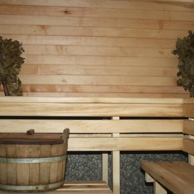 CottageHomestead "Lukacha" Zhdeniyevo8.3 km from Mount LystkovaniaSaunaFireplaceKitchenNearby: Ostra Gora 5.6 kmVojvodyn waterfall 7.9 km7 trails
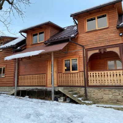 HomesteadVilla Uzh12 km from Mount LystkovaniaThe cottage "Villa Uzh" is located amidst picturesque mountains in the village of Uzhok, 5 km from the Volosyanka-Zakarpatska railway station.Nearby: Church of St. Michael 500 m3 trails
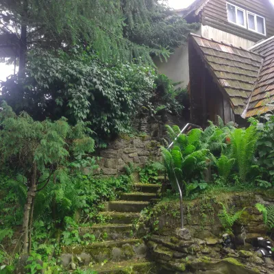 HomesteadHomestead "U Dyadi Vani" Vyshka17 km from Mount LystkovaniaPoolSaunaBBQ
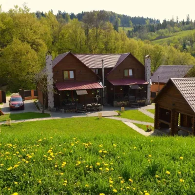 HomesteadPrivate Homestead "Shcherbovets"10 km from Mount LystkovaniaHot tubSaunaBBQNearby: Ostra Gora 7.5 kmVojvodyn waterfall 8.7 km7 trails
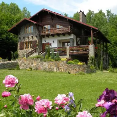 HomesteadChalet "Kukavica" Shcherbovets10 km from Mount LystkovaniaKitchenParkingNearby: Ostra Gora 7.6 kmVojvodyn waterfall 8.8 km7 trails
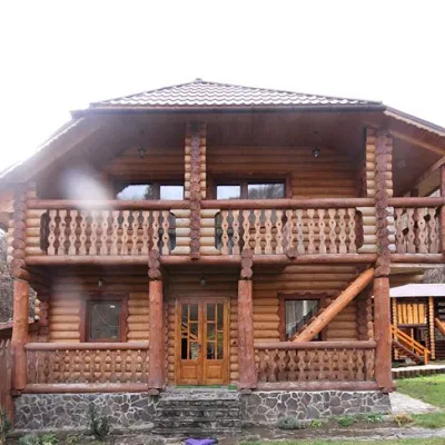 CottageCottage "Pustoshak" Bilasovitsya10 km from Mount LystkovaniaHot tubPoolSaunaNearby: 11 trails
Trails nearby
 HardMulti-dayUnmarkedBilasovytsia village to Uzhok villagevia Mount Pikui, the Ruska Put Pass +1Elevation profile601–1 433 m37.1 kmascent 1 997 m≈ 13.5 h walkingunder 1 km from Mount Lystkovania
 HardMulti-dayMarkedTranscarpathian Tourist TrailElevation profile198–2 031 m393.2 kmascent 30 283 munder 1 km from Mount Lystkovania
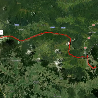 HardMulti-dayUnmarkedSianky village to Mount Pikuivia Mount Starostyna, Mount Velykyi VerkhElevation profile845–1 404 m31.9 kmascent 945 m≈ 10 h walkingunder 1 km from Mount Lystkovania
Nearby attractions
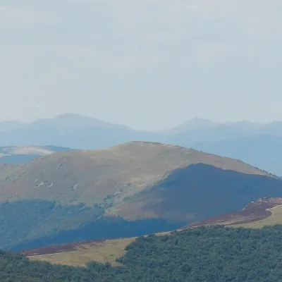 PeakMount Velykyi Verkh (Vododilnyi Ridge)altitude 1 309 m1.3 km from Mount LystkovaniaVelykyi Verkh is a 1,309 m summit on the Vododilnyi (Verkhovyna Watershed) Ridge, on the border of Lviv and Zakarpattia oblasts.
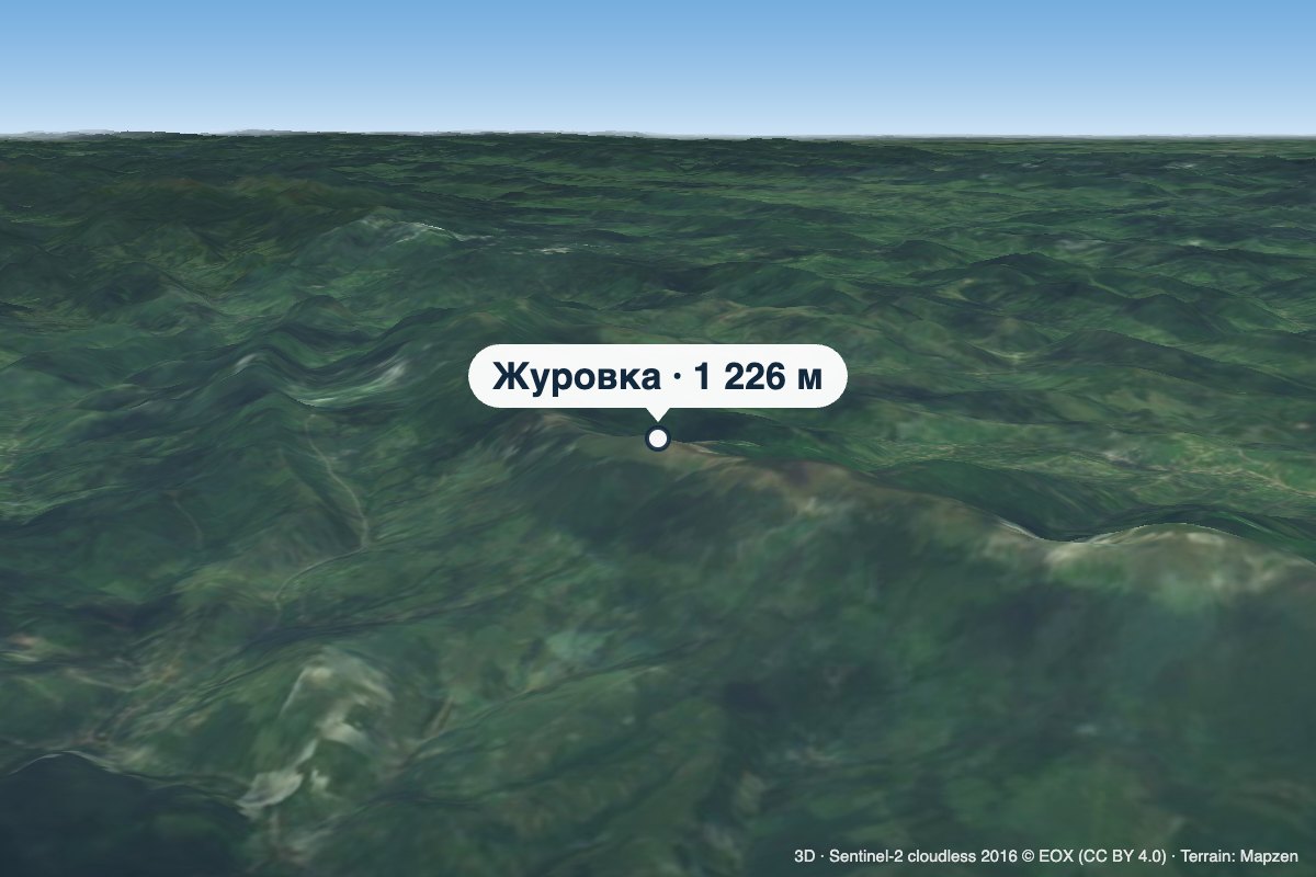 PeakMount Zhurovkaaltitude 1 226 m · Watershed Ridge range2 km from Mount LystkovaniaZhurovka (Zhurivka in encyclopedic sources) is a 1,226 m summit on the Vododilnyi (Verkhovyna Watershed) Ridge, on the border of Lviv and Zakarpattia oblasts.
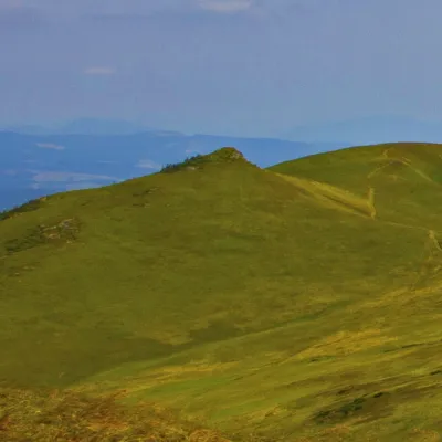 PeakMount Hostryi Verkhaltitude 1 294 m · Watershed Ridge range3.1 km from Mount LystkovaniaHostryi Verkh (also Ostryi Verkh) is a 1,294 m summit on the Vododilnyi (Verkhovyna Watershed) Ridge. It stands on the border of Lviv and Zakarpattia oblasts, between...