Mount Velykyi Verkh (Vododilnyi Ridge)
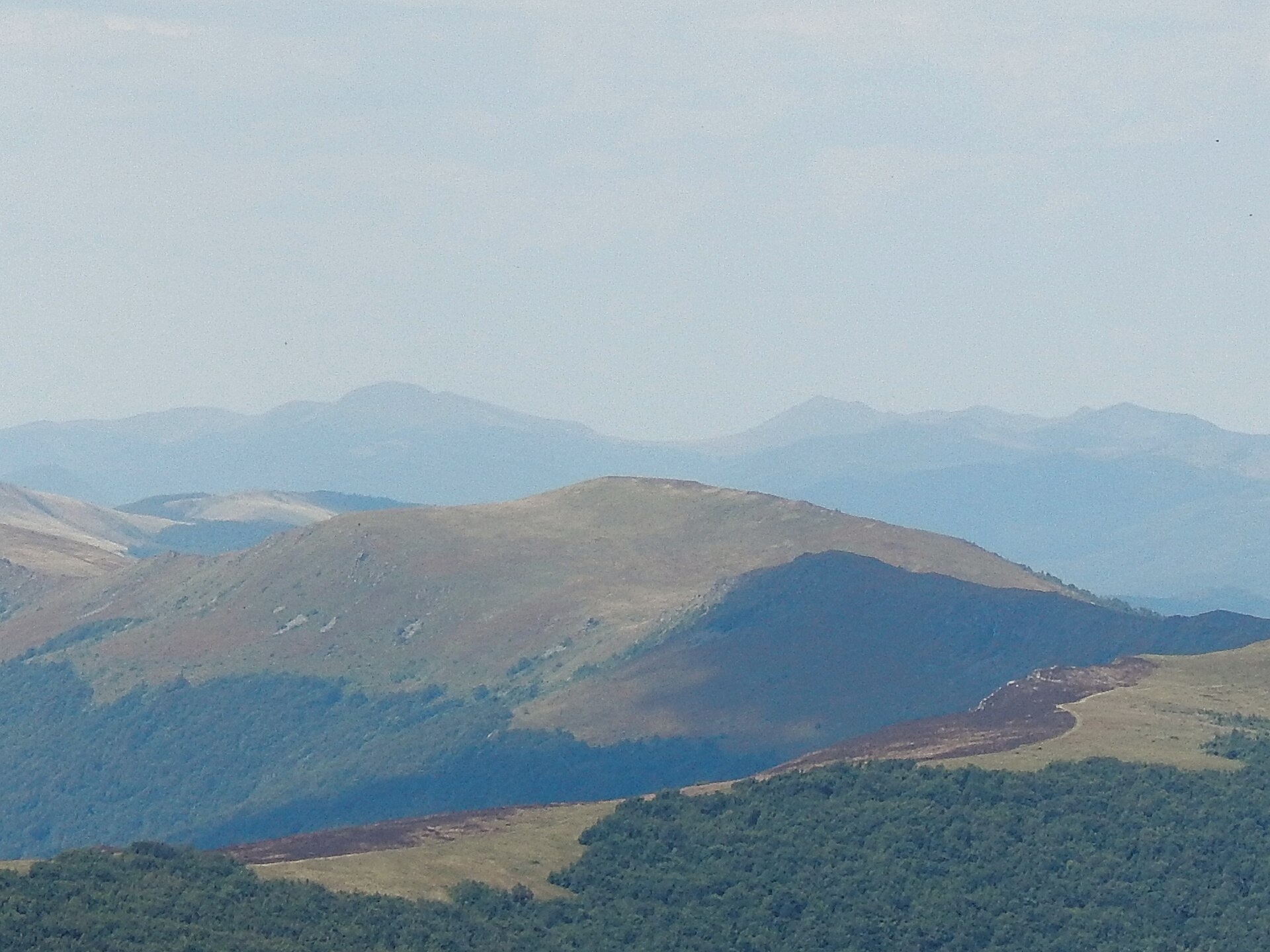
Velykyi Verkh is a 1,309 m summit on the Vododilnyi (Verkhovyna Watershed) Ridge, on the border of Lviv and Zakarpattia oblasts. After Pikui it is the highest point of the long mountain meadow that follows the crest from the Uzhok Pass. The nearest villages are Perekhresnyi (about 3.7 km) in Zakarpattia and Lybokhora (about 3.9 km) on the Lviv side.
North-west of the summit lies Mount Lystkovania (1,248 m), separated from Velykyi Verkh by the Ruska Put pass (1,218 m); to the south-east is Hostryi Verkh (1,294 m), beyond which the crest leads to Pikui. The bare top offers views of the Polish Bieszczady, Polonyna Rivna and Pikui.
How to get there
The Transcarpathian Tourist Trail and more than ten of our routes cross the summit. The most convenient:
- Uzhok – Mt Drohobytskyi Kamin – Mt Starostyna – Mt Velykyi Verkh, 18.2 km;
- Lybokhora – Mt Velykyi Verkh – Mt Pikui – Bilasovytsia, 21.1 km;
- Bilasovytsia – Mt Pikui – Mt Velykyi Verkh – Mt Starostyna, 22.1 km;
- Sianky – Mt Starostyna – Mt Velykyi Verkh – Mt Pikui – Bilasovytsia, 36.5 km.
Climb from the south — from Bukovets or Perekhresnyi via the Ruska Put pass — or along the crest from Mount Starostyna or from Pikui. The northern slopes lie in a reserve, and entering from that side is not allowed.
Water, shelter and safety
There is no water on the crest, but our map shows several springs below the summit: near Perekhresnyi about 500 and 650 m away, near Lybokhora about 600 m away (all at 1,130–1,160 m). Their condition is unknown, so carry water. The open meadow gives no shelter from wind or thunderstorms, and in fog it is easy to lose the crest — have a GPS track and warm clothes. In an emergency call 112 or 101 — contacts of the nearest units are on the mountain rescue page.
Interesting facts
- Old Polish maps called Velykyi Verkh itself “Ruski Put”; the 1937 map moved that name to the neighbouring pass.
- The northern slopes belong to the Lybokhora Reserve within the Boikivshchyna National Nature Park.
- Velykyi Verkh is only about a hundred metres lower than Pikui, so the whole meadow of the Vododilnyi Ridge is in view from the top.
Photos: DmytroChapman, CC BY-SA 4.0 — Wikimedia Commons.
Location on the map
Comments
Places to stay nearby
 CottageHomestead "Lukacha" Zhdeniyevo7.6 km from Mount Velykyi Verkh (Vododilnyi Ridge)SaunaFireplaceKitchenNearby: Ostra Gora 5.6 kmVojvodyn waterfall 7.9 km7 trails
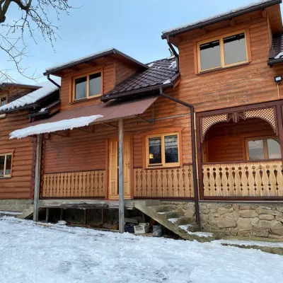 HomesteadVilla Uzh13 km from Mount Velykyi Verkh (Vododilnyi Ridge)The cottage "Villa Uzh" is located amidst picturesque mountains in the village of Uzhok, 5 km from the Volosyanka-Zakarpatska railway station.Nearby: Church of St. Michael 500 m3 trails
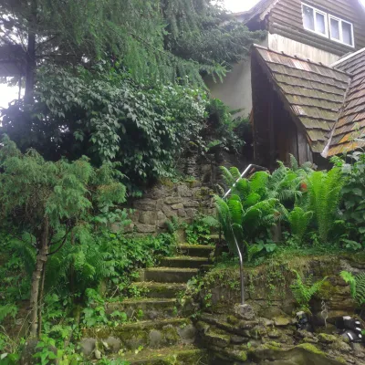 HomesteadHomestead "U Dyadi Vani" Vyshka18 km from Mount Velykyi Verkh (Vododilnyi Ridge)PoolSaunaBBQ
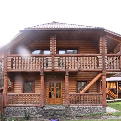 CottageCottage "Pustoshak" Bilasovitsya8.9 km from Mount Velykyi Verkh (Vododilnyi Ridge)Hot tubPoolSaunaNearby: 11 trails
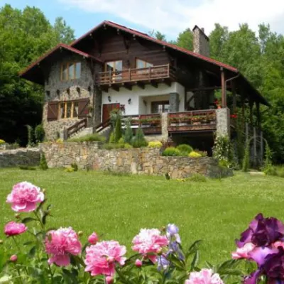 HomesteadChalet "Kukavica" Shcherbovets9.2 km from Mount Velykyi Verkh (Vododilnyi Ridge)KitchenParkingNearby: Ostra Gora 7.6 kmVojvodyn waterfall 8.8 km7 trails
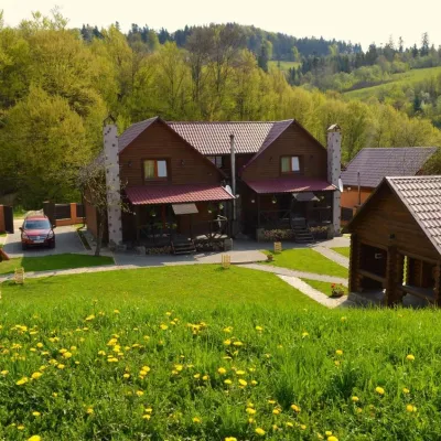 HomesteadPrivate Homestead "Shcherbovets"9.2 km from Mount Velykyi Verkh (Vododilnyi Ridge)Hot tubSaunaBBQNearby: Ostra Gora 7.5 kmVojvodyn waterfall 8.7 km7 trails
Trails nearby
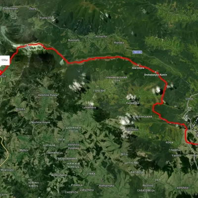 HardMulti-dayUnmarkedSianky village to Bilasovytsia villagevia Mount Starostyna, Mount Velykyi Verkh +1Elevation profile550–1 336 m36.5 kmascent 1 520 m≈ 12 h walkingunder 1 km from Mount Velykyi Verkh (Vododilnyi Ridge)
 HardTwo-dayUnmarkedBilasovytsia village to Mount Starostynavia Mount Pikui, Mount Velykyi VerkhElevation profile826–1 430 m22.1 kmascent 1 347 m≈ 8 h walkingunder 1 km from Mount Velykyi Verkh (Vododilnyi Ridge)
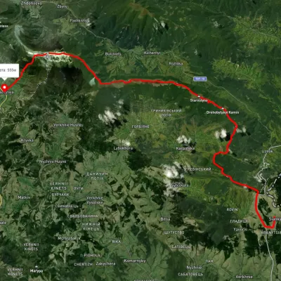 HardMulti-dayUnmarkedSianky village to Bilasovytsia villagevia the Verkhovyna Watershed ridge, Mount PikuiElevation profile558–1 388 m40.9 kmascent 1 396 m≈ 13 h walkingunder 1 km from Mount Velykyi Verkh (Vododilnyi Ridge)
Nearby attractions
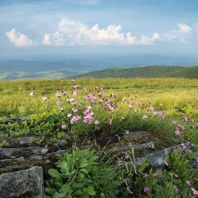 PeakMount Lystkovaniaaltitude 1 248 m · Watershed Ridge range1.3 km from Mount Velykyi Verkh (Vododilnyi Ridge)Lystkovania (also spelled Lystkovannia) is a 1,248 m summit on the Vododilnyi (Verkhovyna Watershed) Ridge, on the border of Lviv and Zakarpattia oblasts.
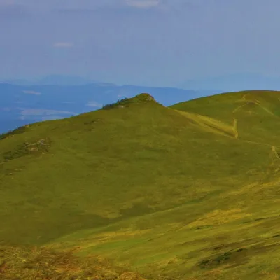 PeakMount Hostryi Verkhaltitude 1 294 m · Watershed Ridge range1.8 km from Mount Velykyi Verkh (Vododilnyi Ridge)Hostryi Verkh (also Ostryi Verkh) is a 1,294 m summit on the Vododilnyi (Verkhovyna Watershed) Ridge. It stands on the border of Lviv and Zakarpattia oblasts, between...
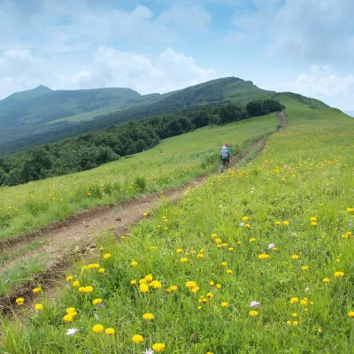 PeakMount Nondahaltitude 1 303 m · Watershed Ridge range3.1 km from Mount Velykyi Verkh (Vododilnyi Ridge)Nondah is a 1,303 m summit on the Vododilnyi (Verkhovyna Watershed) Ridge, on the border of Lviv and Zakarpattia oblasts.