Mount Hostryi Verkh
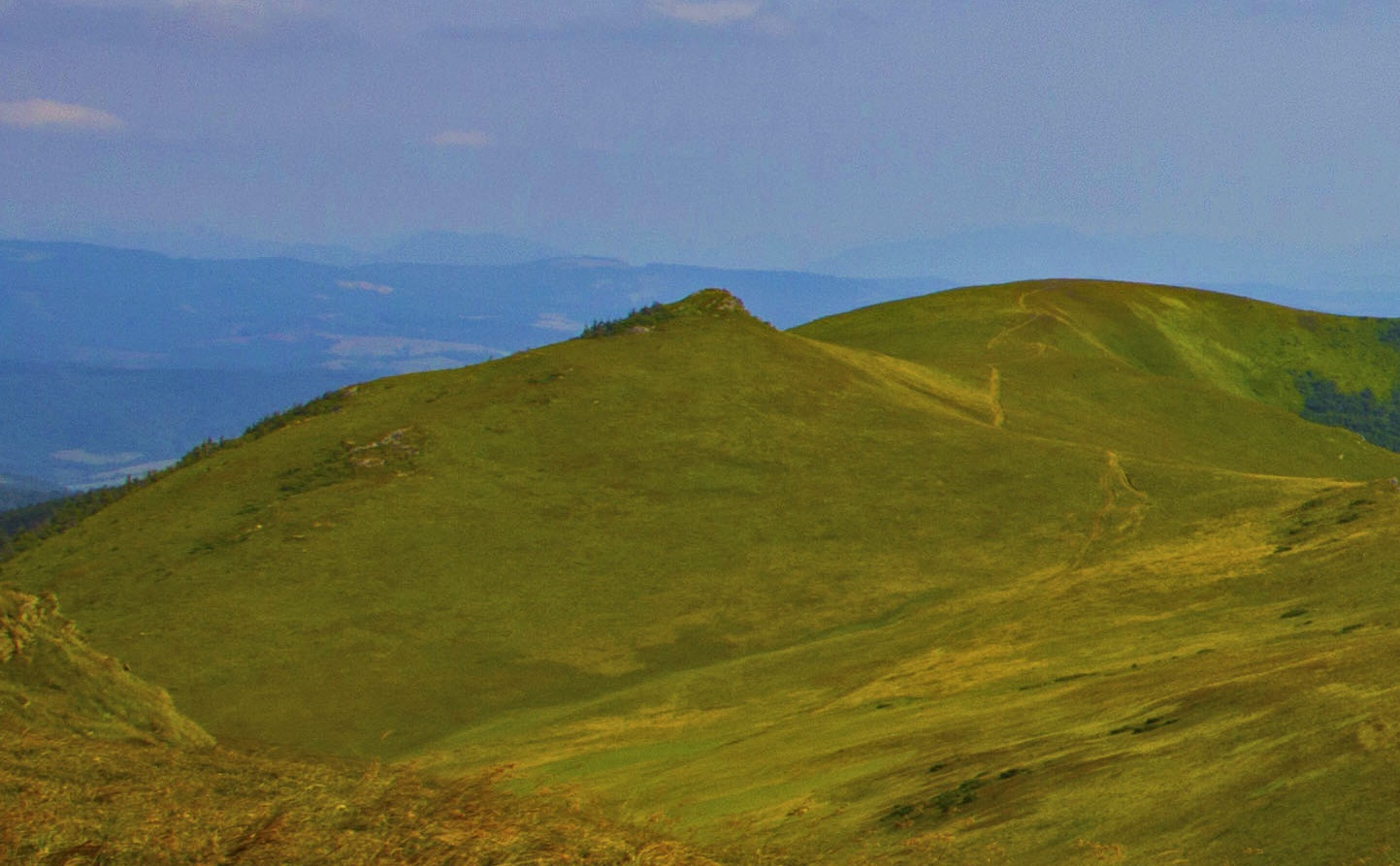
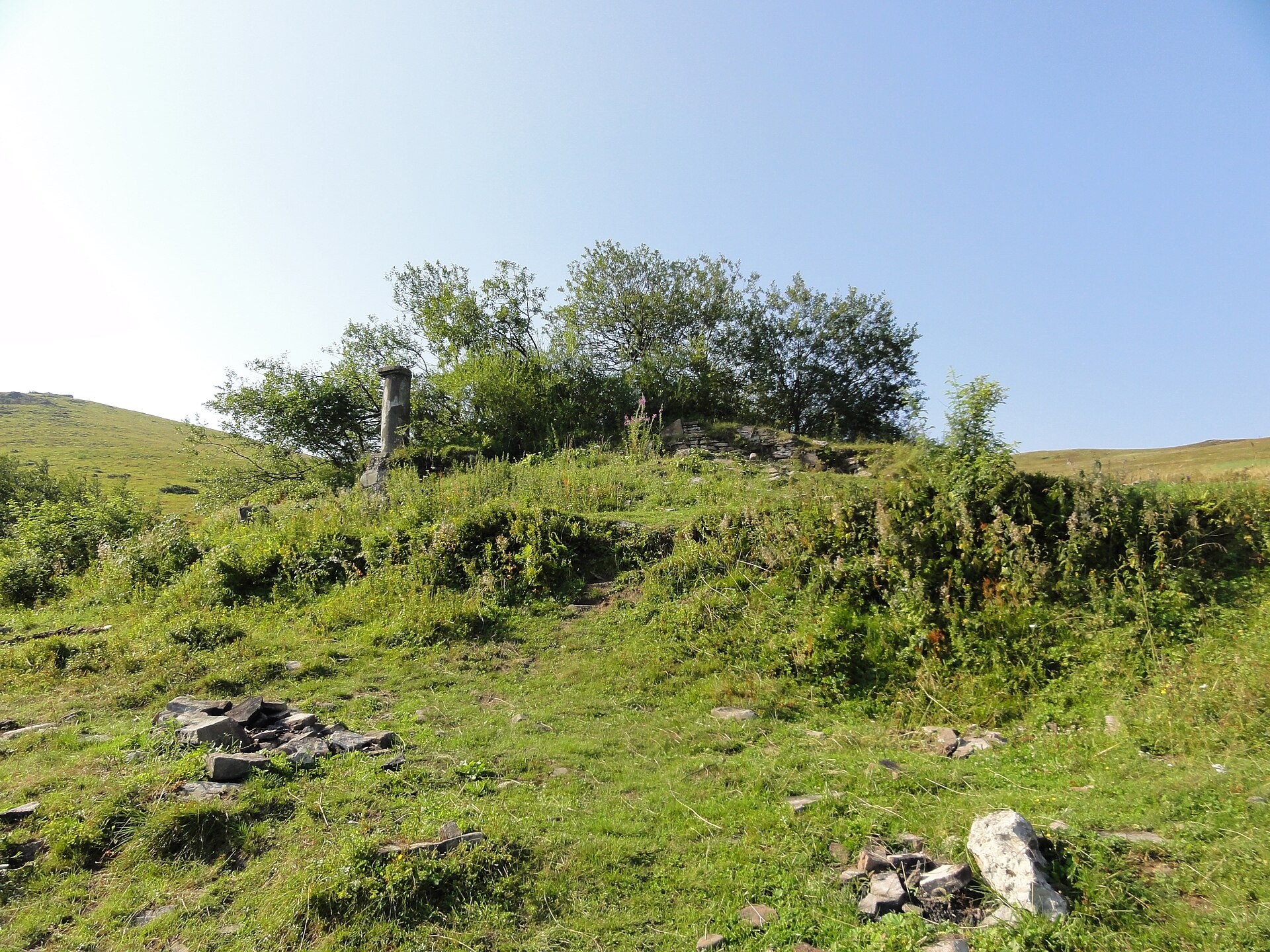
Hostryi Verkh (also Ostryi Verkh) is a 1,294 m summit on the Vododilnyi (Verkhovyna Watershed) Ridge. It stands on the border of Lviv and Zakarpattia oblasts, between Velykyi Verkh (1,309 m, 1.7 km to the north-west) and Prypir (1,285 m, 650 m to the south-east), beyond which the crest leads to Pikui. The nearest villages are Lybokhora and Verkhnie Husne on the Lviv side and Perekhresnyi in Zakarpattia; closer still, about 3.5 km to the south-west, lies Bukovets.
The summit is covered by the mountain meadow that runs along the crest all the way to Pikui. The northern slopes are fairly gentle and drain towards the Lybokhora stream in the Stryi basin; the southern and south-western slopes are steeper and feed the Zhdenivka, a tributary of the Latorytsia.
How to get there
The red-marked Transcarpathian Tourist Trail follows the crest over Hostryi Verkh, and so do our routes to Pikui:
- Lybokhora – Mt Velykyi Verkh – Mt Pikui – Bilasovytsia, 21.1 km;
- Bilasovytsia – Mt Pikui – Mt Velykyi Verkh – Mt Starostyna, 22.1 km;
- Lybokhora – Mt Pikui – Bilasovytsia, 23 km;
- Bilasovytsia – Mt Pikui – Ruska Put pass – Mt Drohobytskyi Kamin – Uzhok, 37.1 km.
Water, shelter and safety
Our map shows the nearest springs below the crest: near Perekhresnyi about 700 m from the summit and near Lybokhora about 800 m away (both at roughly 1,140–1,160 m). Their condition is unknown, so carry enough water. The northern slopes are protected areas, so leave the crest only on marked paths. Weather changes fast on the open meadow: check the forecast and bring warm clothes. In an emergency call 112 or 101 — contacts of the nearest units are on the mountain rescue page.
Interesting facts
- In the 1930s a shelter of the Przemyśl Skiers' Society, known as the “shelter below Pikui”, stood on the northern side just above the tree line near Hostryi Verkh; it was destroyed in 1940.
- At that time the Main Carpathian Trail of the Polish Tatra Society followed the crest, and the ridge itself was the border between Poland and Czechoslovakia — earlier between Galicia and Hungary.
- Old Polish maps called the summit “Dziurawy Żłób” (Leaky Trough); the 1937 map moved this name to the neighbouring saddle by Prypir.
- The northern slopes lie within the Lybokhora Reserve and the Boikivshchyna National Nature Park.
Photos: Штец Крістіан, CC BY-SA 4.0; Poznaniak, CC BY-SA 3.0 — Wikimedia Commons.
Location on the map
Comments
Places to stay nearby
 CottageHomestead "Lukacha" Zhdeniyevo7 km from Mount Hostryi VerkhSaunaFireplaceKitchenNearby: Ostra Gora 5.6 kmVojvodyn waterfall 7.9 km7 trails
 HomesteadVilla Uzh14 km from Mount Hostryi VerkhThe cottage "Villa Uzh" is located amidst picturesque mountains in the village of Uzhok, 5 km from the Volosyanka-Zakarpatska railway station.Nearby: Church of St. Michael 500 m3 trails
 HomesteadHomestead "U Dyadi Vani" Vyshka20 km from Mount Hostryi VerkhPoolSaunaBBQ
 CottageCottage "Pustoshak" Bilasovitsya7.1 km from Mount Hostryi VerkhHot tubPoolSaunaNearby: 11 trails
 HomesteadChalet "Kukavica" Shcherbovets8.2 km from Mount Hostryi VerkhKitchenParkingNearby: Ostra Gora 7.6 kmVojvodyn waterfall 8.8 km7 trails
 HomesteadPrivate Homestead "Shcherbovets"8.2 km from Mount Hostryi VerkhHot tubSaunaBBQNearby: Ostra Gora 7.5 kmVojvodyn waterfall 8.7 km7 trails
Trails nearby
 HardMulti-dayUnmarkedBilasovytsia village to Uzhok villagevia Mount Pikui, the Ruska Put Pass +1Elevation profile601–1 433 m37.1 kmascent 1 997 m≈ 13.5 h walkingunder 1 km from Mount Hostryi Verkh
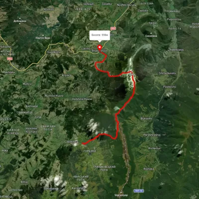 HardTwo-dayUnmarkedLybokhora village to Bilasovytsia villagevia Mount PikuiElevation profile595–1 433 m23 kmascent 3 227 m≈ 12 h walkingunder 1 km from Mount Hostryi Verkh
 HardMulti-dayUnmarkedBilasovytsia village to Sianky villagevia Mount Pikui, the Ruska Put Pass +1Elevation profile557–1 394 m41.1 kmascent 1 923 munder 1 km from Mount Hostryi Verkh
Nearby attractions
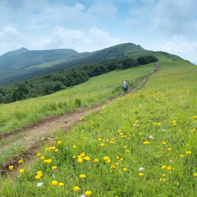 PeakMount Nondahaltitude 1 303 m · Watershed Ridge range1.5 km from Mount Hostryi VerkhNondah is a 1,303 m summit on the Vododilnyi (Verkhovyna Watershed) Ridge, on the border of Lviv and Zakarpattia oblasts.
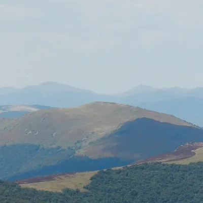 PeakMount Velykyi Verkh (Vododilnyi Ridge)altitude 1 309 m1.8 km from Mount Hostryi VerkhVelykyi Verkh is a 1,309 m summit on the Vododilnyi (Verkhovyna Watershed) Ridge, on the border of Lviv and Zakarpattia oblasts.
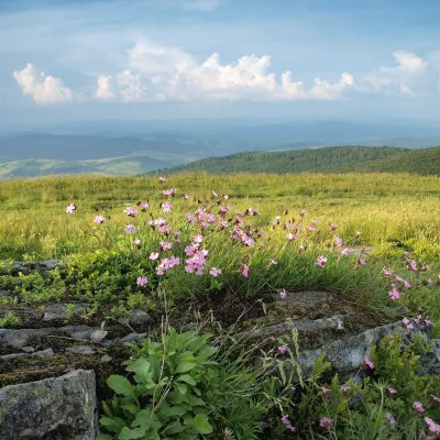 PeakMount Lystkovaniaaltitude 1 248 m · Watershed Ridge range3.1 km from Mount Hostryi VerkhLystkovania (also spelled Lystkovannia) is a 1,248 m summit on the Vododilnyi (Verkhovyna Watershed) Ridge, on the border of Lviv and Zakarpattia oblasts.