Mount Horb
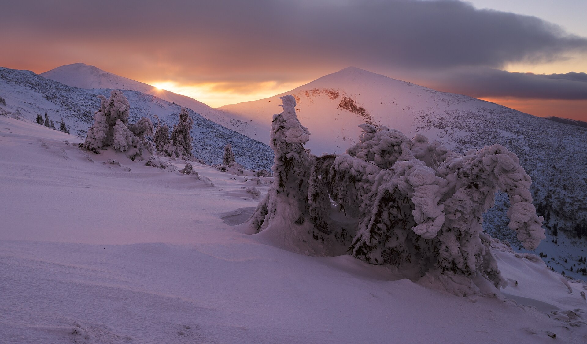
Horb is a 1,687 m summit on the Pishkonia ridge of the Inner Gorgany, in the Mizhhiria area (now Khust district) of Zakarpattia Oblast. It rises right next to the highest peak of the ridge, Nehrovets (1,707 m), about 700 m to the south-east of it. The nearest village is Nehrovets, while hikes usually start in Kolochava (about 8.5 km as the crow flies) or in Synevyr.
A cross stands on the summit and is also marked on OpenStreetMap. The crest around Horb is open: Velyka Hropa (1,667 m) rises 1.8 km to the west, Yasenovets (1,628 m) 2.3 km to the north-west, Yasnovets (1,600 m) 3.2 km to the east and Barvinok (1,461 m) 1.9 km to the south. About 4 km to the south-east you can see Darvaika (1,502 m).
How to get there
Five of our routes cross Horb or pass within 150 m of it. The handiest loop is Kolochava – Mount Darvaika – Mount Nehrovets – Kolochava (21.9 km, about 1,550 m of ascent). From the Tereblia valley you can take Synevyr – Mount Nehrovets – Kolochava (25.4 km) or the shorter Mount Nehrovets – Synevyr (17.1 km). For a multi-day trek there is Synevyr – Mount Nehrovets – Mereshor – Krasna ridge – Ust-Chorna – Svydovets ridge – Kvasy (100.3 km). The Transcarpathian Tourist Trail also passes close to the summit.
Water, shelter and safety
On our map the nearest spring is about 170 m south-west of the summit, at roughly 1,575 m; it is weak and may run dry. Another spring is marked about 1.2 km to the north (around 1,250 m), the rest 2.3–2.8 km away towards Yasnovets and Nehrovets; their condition is unknown. There are no huts or shelters nearby on our map, so plan to camp or to spend the night down in the valley. The treeless crest is exposed to wind and thunderstorms, and in fog it is easy to lose the path on the pasture. For the forecast, check the nearest summit we cover: weather on Hrofa (about 21 km away). In an emergency call 112 or 101 — contacts of the nearest units are on our mountain rescue page.
Interesting facts
- Horb is only 20 m lower than neighbouring Nehrovets, the highest peak of the Pishkonia ridge.
- A cross marks the summit, so it is easy to recognise from the ridge.
Photos: Ryzhkov Sergey, CC BY-SA 4.0 — Wikimedia Commons.
Location on the map
Comments
Places to stay nearby
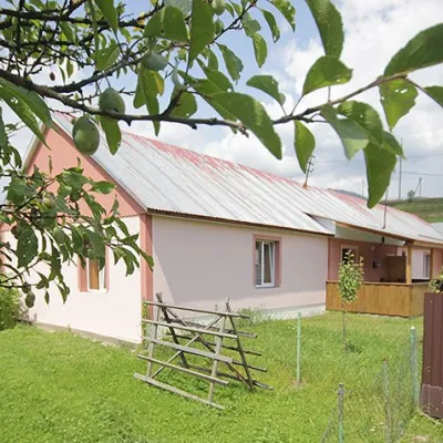 CottageCottage "Yalivets" Kolochava7.1 km from Mount HorbHot tubBBQKitchenNearby: Holy Spirit Church 1.7 kmMt Negrovets 7.3 km9 trails
 HotelRecreation Complex "Azhio" Mykulychyn Village7.5 km from Mount HorbSaunaKitchenTransferNearby: Holy Spirit Church 1.2 kmMt Negrovets 7.8 km9 trails
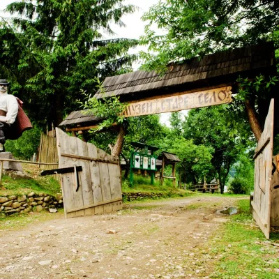 HotelComplex "Stare Selo" Mykulychyn7.9 km from Mount HorbParkingTransferNearby: Holy Spirit Church 200 mMt Strymba 6.9 km10 trails
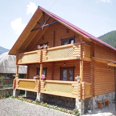 CottageCottage "Orchidea"9.5 km from Mount HorbSaunaBBQParkingNearby: Kamyanka Mountain 4.1 kmSynevyr Pass 7.1 km6 trails
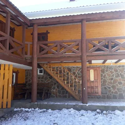 HomesteadHomestead "BILYA SYNEVYRU" Synevyrska Polyana9.5 km from Mount HorbSaunaBBQKitchenNearby: Kamyanka Mountain 3.2 kmSynevyr Pass 6.3 km2 trails
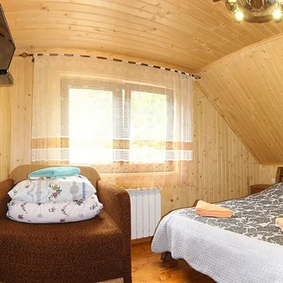 HomesteadHomestead "By the River" Synevyrska Polyana9.6 km from Mount HorbSaunaBBQKitchenNearby: Kamyanka Mountain 3.2 kmSynevyr Pass 6.2 km3 trails
Trails nearby
 HardTwo-dayUnmarkedKolochava village loopvia Mount Darvaika, Mount NehrovetsElevation profile566–1 657 m21.9 kmascent 1 545 m≈ 8.5 h walkingunder 1 km from Mount Horb
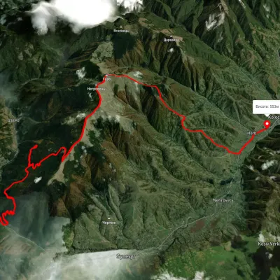 HardMulti-dayUnmarkedSynevyr village to Kolochava villagevia Mount NehrovetsElevation profile539–1 697 m25.4 kmascent 1 531 m≈ 9.5 h walkingunder 1 km from Mount Horb
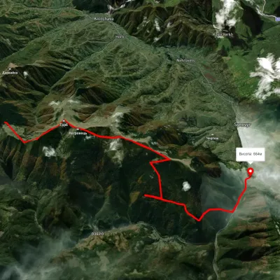 ModerateTwo-dayUnmarkedMount Nehrovets Synevyr villageElevation profile586–1 690 m17.1 kmascent 562 m≈ 5.5 h walkingunder 1 km from Mount Horb
Nearby attractions
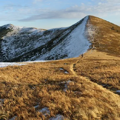 PeakMount Negrovetsaltitude 1 707 m · Gorgany rangeunder 1 km from Mount Horb6 trails to the topMount Negrovets is a peak in the Ukrainian Carpathians, which lies within the Gorgan mountain range (Inner Gorgan Mountains ) in the Mizhhirya district of Zakarpattia...
 PeakMount Velyka Gropaaltitude 1 667 m1.7 km from Mount Horb5 trails to the topToday we will move to the Mizhhirya region, namely to the Pishkonya massif, where the Velyka Gropa mountain rises.
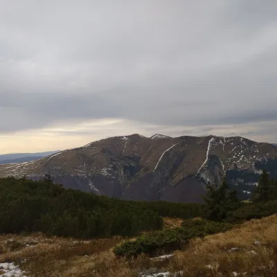 PeakMount Yasenovetsaltitude 1 628 m2.3 km from Mount Horb5 trails to the topThe top of Mount Yasenovets is 1628 meters above sea level, located in Mizhhirya district of Zakarpattia region.