Mount Terentyn
Terentyn is a 1,388 m summit in the south-western part of the Svydovets range, in the Rakhiv district of Zakarpattia Oblast. It rises above the valleys between Rakhiv (about 6 km) and the village of Bilyn (about 3.4 km); Sitnyi is 6.5 km away.
Terentyn sits on the ridge used to climb Svydovets from Rakhiv. About 1.1 km to the north lies Dovzhyna (1,380 m) with a pasture of the same name, Tsyhanskyi Hrun is 1.7 km to the south-east and Mahurytsia (1,265 m) 1.9 km to the south-west. The range’s highest peak, Blyznytsia, is still more than 10 km away along the ridge.
How to get there
9 of our routes cross the slopes of Terentyn, 100–300 m from the summit — mostly those starting in Rakhiv. The closest, about 100 m away, is Rakhiv – Mount Blyznytsia – Kvasy (31.7 km). Shorter out-and-back options to Blyznytsia are Rakhiv – Mount Blyznytsia (18.8 km) and Rakhiv – Blyznytsia (23.2 km). For a long hike take Rakhiv – Blyznytsia – Stih – Troiaska – Tataruka – Chorna Tysa – Yasinia (65 km) or Rakhiv – Svydovets – Bratkivska ridge – Syvulia ridge – Ihrovyshche ridge – Osmoloda (86.8 km). From Bilyn, about 2.2 km from the summit, starts the short route Bilyn – Perelisok shelter (6.5 km).
Water, shelter and safety
Water is plentiful around Terentyn: our map shows three springs about 290–300 m to the west and north (at about 1,270–1,300 m), among them the Ovechyi spring; the Ukraina spring is about 1.1 km to the south-west. A weather shelter near Bilyn stands about 1.5 km to the south-west, a hut on the Dovzhyna pasture 2.4 km to the north, and the working Perelisok shelter about 2.8 km to the north. The condition of most springs is unknown, so carry some water. The nearest summit with our forecast is the weather on Blyznytsia (about 13 km). In an emergency call 112 or 101 — contacts of the nearest units are on our mountain rescue page.
Comments
Places to stay nearby
 CottageHomestead "U Ivanky"7.1 km from Mount TerentynKitchenWi‑FiNearby: Mt Sheshul 7.1 kmNyzhnyi Huk waterfall 9.2 km44 trails
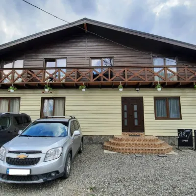 HotelCube (KUB)7.3 km from Mount TerentynBBQParkingWi‑FiNearby: Mt Sheshul 7.2 kmMt Bliznytsia 8.6 km44 trails
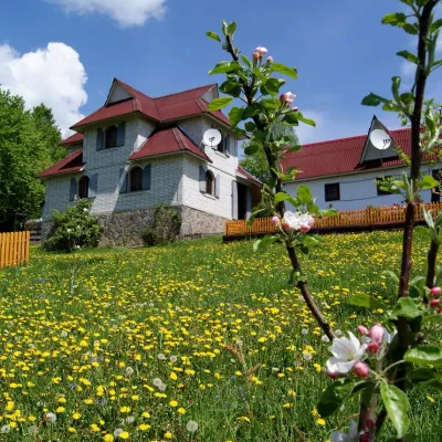 HotelHomestead "Rakhiv Play"5.1 km from Mount TerentynSaunaBBQKitchenNearby: Church of St. John Nepomuk 1.2 kmNyzhnyi Huk waterfall 6.1 km12 trails
 HotelHotel "Nad Tysoyu" Mykulychyn5.5 km from Mount TerentynSaunaSPABreakfastNearby: Mt Sheshul 8.3 kmNyzhnyi Huk waterfall 7.5 km42 trails
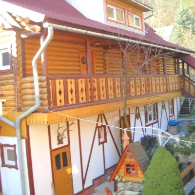 HotelHotel "Smerikova Khata" Rakhiv5.6 km from Mount TerentynBBQKitchenParkingNearby: Church of St. John Nepomuk 300 mNyzhnyi Huk waterfall 7.0 km12 trails
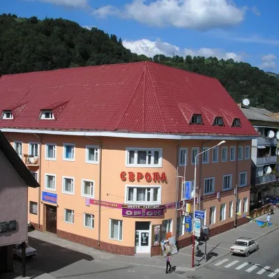 HotelHotel "Evropa" Rakhiv6.1 km from Mount TerentynSaunaParkingWi‑FiNearby: Church of St. John Nepomuk 300 mNyzhnyi Huk waterfall 7.3 km12 trails
Trails nearby
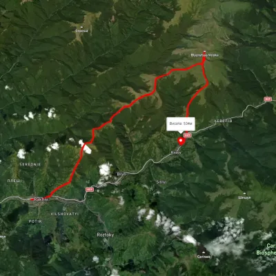 HardMulti-dayUnmarkedRakhiv to Kvasy villagevia Mount BlyznytsiaElevation profile434–1 855 m31.7 kmascent 1 840 m≈ 11.5 h walkingunder 1 km from Mount Terentyn
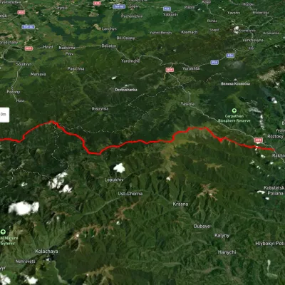 HardMulti-dayUnmarkedRakhiv to Osmoloda villagevia the Svydovets ridge, the Bratkivskyi ridge +2Elevation profile445–1 846 m86.8 kmascent 3 924 munder 1 km from Mount Terentyn
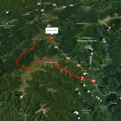 HardMulti-dayUnmarkedRakhiv to Yasiniavia Mount Blyznytsia, Mount Stih +3Elevation profile442–1 848 m65 kmascent 2 908 munder 1 km from Mount Terentyn
Nearby attractions
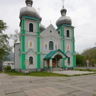 SightCathedral of the Descent of the Holy Spirit, Rakhiv5.8 km from Mount TerentynThe three-domed church with a solemn main façade was built on the main square of Rakhiv from 1991 to 1993 according to the design of Rakhiv architect Mykhailo Kravchuk.
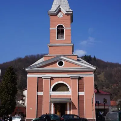 ArchitectureChurch of St. John Nepomuk, Rakhiv5.9 km from Mount TerentynJohn Nepomuky is one of the main architectural monuments of the small town of Rakhiv, Transcarpathian region.
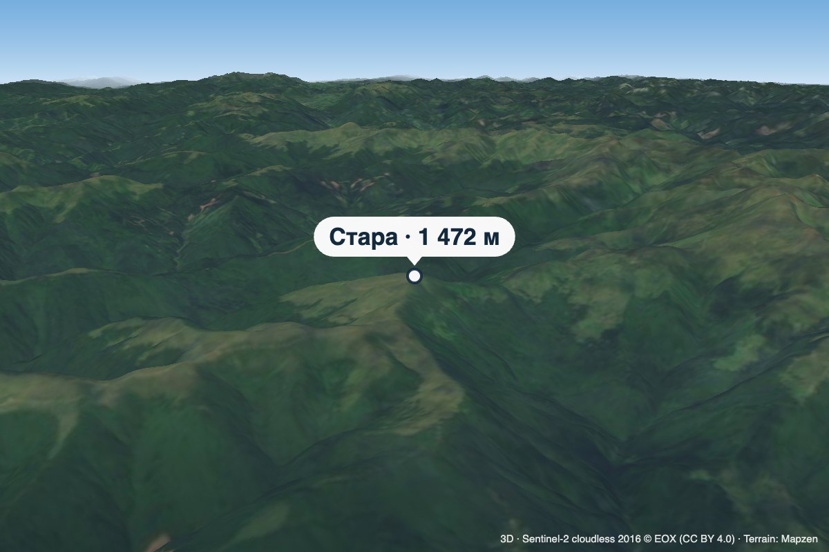 PeakMount Staraaltitude 1 472 m · Svydovets range8.1 km from Mount TerentynStara is a 1,472 m summit in the Svydovets range, in the Rakhiv district of Zakarpattia Oblast. It lies on the long pasture ridge carrying the popular ascent from...