Mount Tsiukhiv
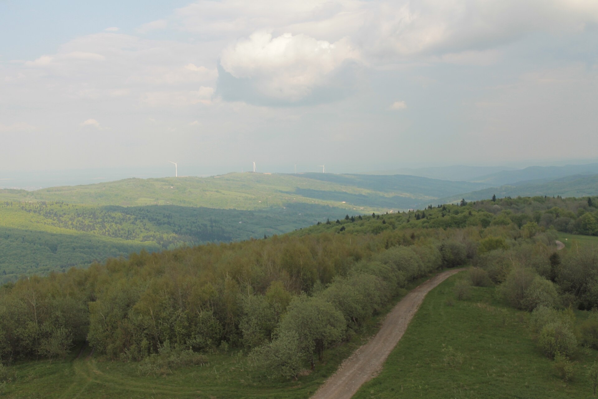
Tsiukhiv (also Tsiukhiv Dil or Tsiukhiv Verkh) is a 939 m mountain (939.4 m exactly; old maps give 942 m or 931 m) in the Upper Dniester Beskids, the highest summit of the Tsiukhiv ridge. It rises in the Drohobych district of Lviv Oblast, between Skhidnytsia to the west and the villages of Oriv to the east and Urych to the south; the nearest village, Oriv, is about 5 km away.
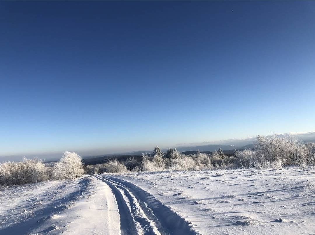
The top of the mountain is gentle, almost flat; the slopes and most of the summit are covered with fir and beech forest, and only the north-eastern side is partly open. Tsiukhiv stands out clearly above the foothills: it is the highest of the front ranges of the Carpathians visible from Drohobych, and on a clear day it can be seen even from Lviv.
How to get there
Our site has no marked route to Tsiukhiv yet, but the mountain is easy to reach and popular with hikers and cyclists. Several VeloBeskydy paths cross the summit: the shortest, “Tsiukhiv Dil”, starts at the Bukovytsia ski resort (6.3 km, about 380 m of ascent), and the “Jadwiga Track” continues from the top to Tustan fortress (10.7 km in total). There is also a footpath from the Karpatski Polonyny hotel below the summit to Tustan (9.9 km).
Water, shelter and safety
Our map shows a spring near Oriv about 490 m from the summit, at roughly 850 m; there are no other springs nearby, so bring water. The summit is windy — gusts often reach 50–60 km/h, and winter brings snowstorms; the best months for a climb are July to September. In an emergency call 112 or 101 — contacts of the nearest units are on our mountain rescue page.
Interesting facts
- The name is linked to a landowner called Tsiukh who owned the pastures on its slopes; forest clearings here are still known as “Tsiukh’s hollows”.
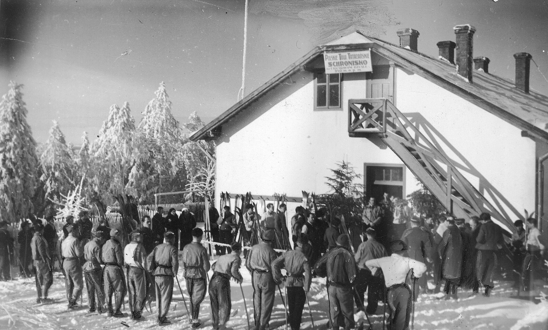
- In 1935 the Drohobych branch of the Polish Tatra Society opened a mountain hut right below the summit, with running water, showers and a telephone; in winter it housed a ski school. The hut was destroyed during the Second World War.
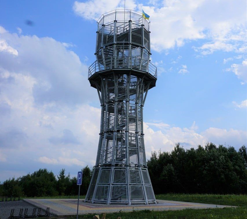
- In summer 2022 a 15 m lookout tower, nicknamed the “Carpathian Lighthouse”, was built on the summit: it overlooks Truskavets, Boryslav, Drohobych, the Parashka ridge and the western Gorgany.
- As early as Austro-Hungarian times there were plans for a cable car from Truskavets to Tsiukhiv.
Photos: Нелегал, CC BY-SA 4.0; Віра Чопик, CC0; Sama4412, CC0; Unknown author, Public domain — Wikimedia Commons.
Location on the map
Comments
Places to stay nearby
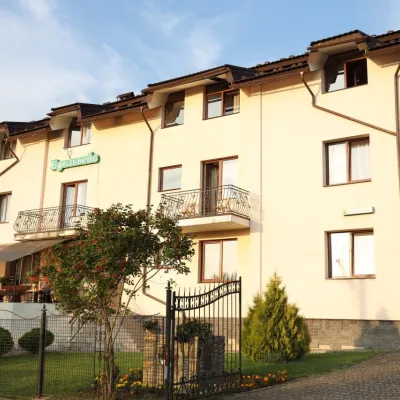 HotelHotel Edelweiss5.5 km from Mount TsiukhivHotel "Edelweiss" is located in a picturesque corner of the balneological resort Skhidnytsia, 350 m from spring No. 18 and 2C.Nearby: Boryslav waterfall 6.6 kmMuseum of Tustan History 5.9 km
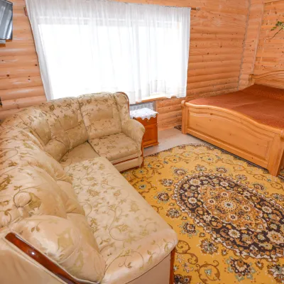 HomesteadGuest House "Kozatsky Dvoryk"5.7 km from Mount TsiukhivBBQKitchenParkingNearby: Boryslav waterfall 6.2 kmMuseum of Tustan History 6.3 km
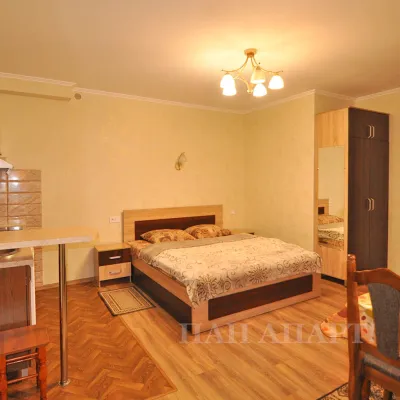 CottageApartments "Zolota Banya"6 km from Mount TsiukhivKitchenWi‑FiNearby: Boryslav waterfall 6.7 kmMuseum of Tustan History 6.2 km
 HotelHotel "Stolytsia"6.4 km from Mount TsiukhivHotel "Stolytsia" in Skhidnytsia - swimming pool and SPA. Hotel "Stolytsia" is located in the central part of the Skhidnytsia resort.Nearby: Boryslav waterfall 6.5 kmLazny waterfall 8.0 km
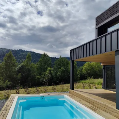 CottageCottage "Zahora"8.9 km from Mount TsiukhivModern Cottage "ZAHORA" - a two-story cottage for 5 people. Equipped with everything necessary.Nearby: Lazny waterfall 4.4 kmMuseum of Tustan History 6.6 km
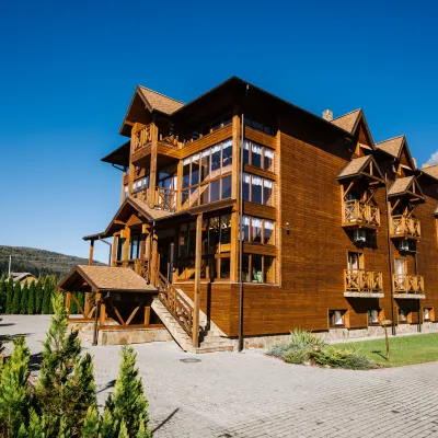 HotelTAOR Karpaty Resort & Spa14 km from Mount TsiukhivThe TAOR Karpaty Resort & Spa is located in the village of Korytyshche, just 9 km from the resort of Skhidnytsia.Nearby: Lazny waterfall 9.0 km
Trails nearby
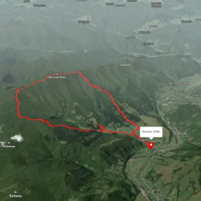 ModerateTwo-dayUnmarkedSopit village loopvia the Sopit polonynasElevation profile456–1 168 m19.7 kmascent 807 m≈ 6.5 h walking8.2 km from Mount Tsiukhiv
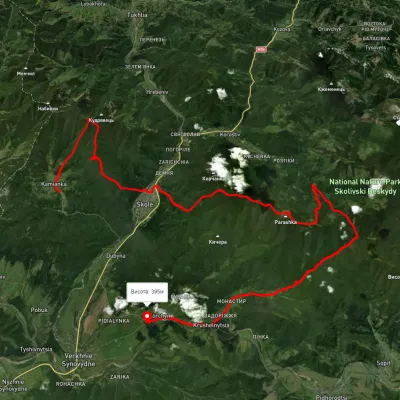 HardMulti-dayUnmarkedKamianka village to Krushelnytsia villagevia Mount Lopata, Skole +1Elevation profile388–1 236 m51.1 kmascent 2 122 m12 km from Mount Tsiukhiv
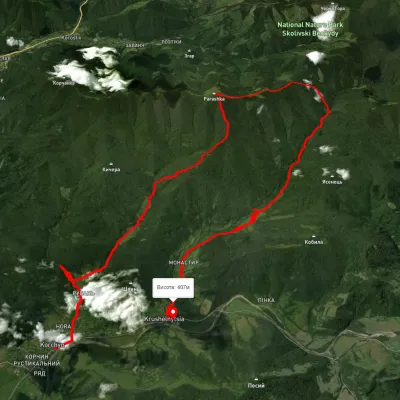 HardMulti-dayUnmarkedKorchyn village to Krushelnytsia villagevia Hurkalo Waterfall, Mount ParashkaElevation profile392–1 260 m39.2 kmascent 1 286 m≈ 12.5 h walking12 km from Mount Tsiukhiv
Nearby attractions
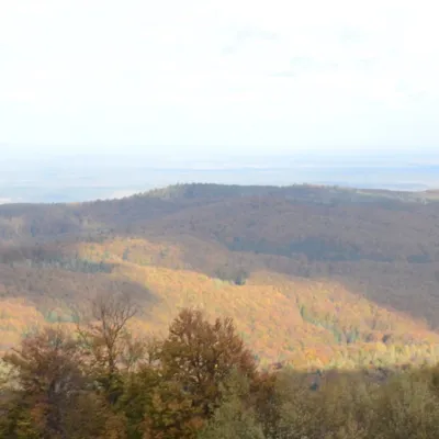 PeakMount Bobovyshchealtitude 817 m3.1 km from Mount TsiukhivBobovyshche (also called Popivska) is an 817 m mountain in the Upper Dniester Beskids, Lviv Oblast. It is the highest summit of the Oriv ridge and one of the highest...
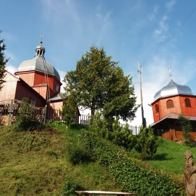 ChurchWooden church of St. Nicholas, Urych4.4 km from Mount TsiukhivIn the northern part of the village of Urych, on a hill, stands the wooden church of St. The church was built in 1911, on the site of an old wooden church that was...
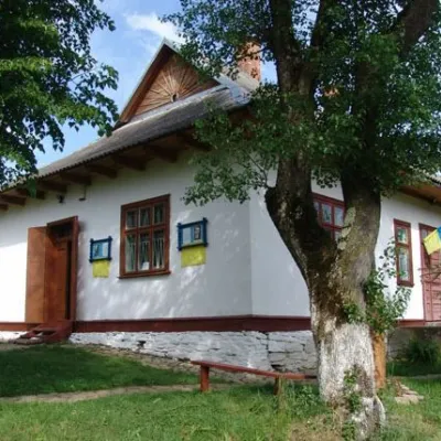 MuseumMuseum of Tustan History, Urych4.5 km from Mount TsiukhivThe TustanHistory Museum is part of the Tustan State Historical and Cultural Reserve. It was established in 1997 to preserve and exhibit archaeological finds...