Mount Kostrycha
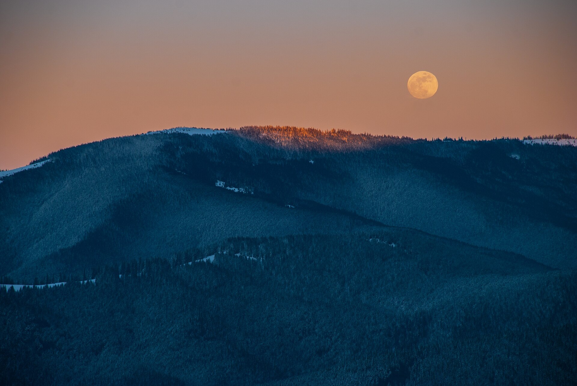
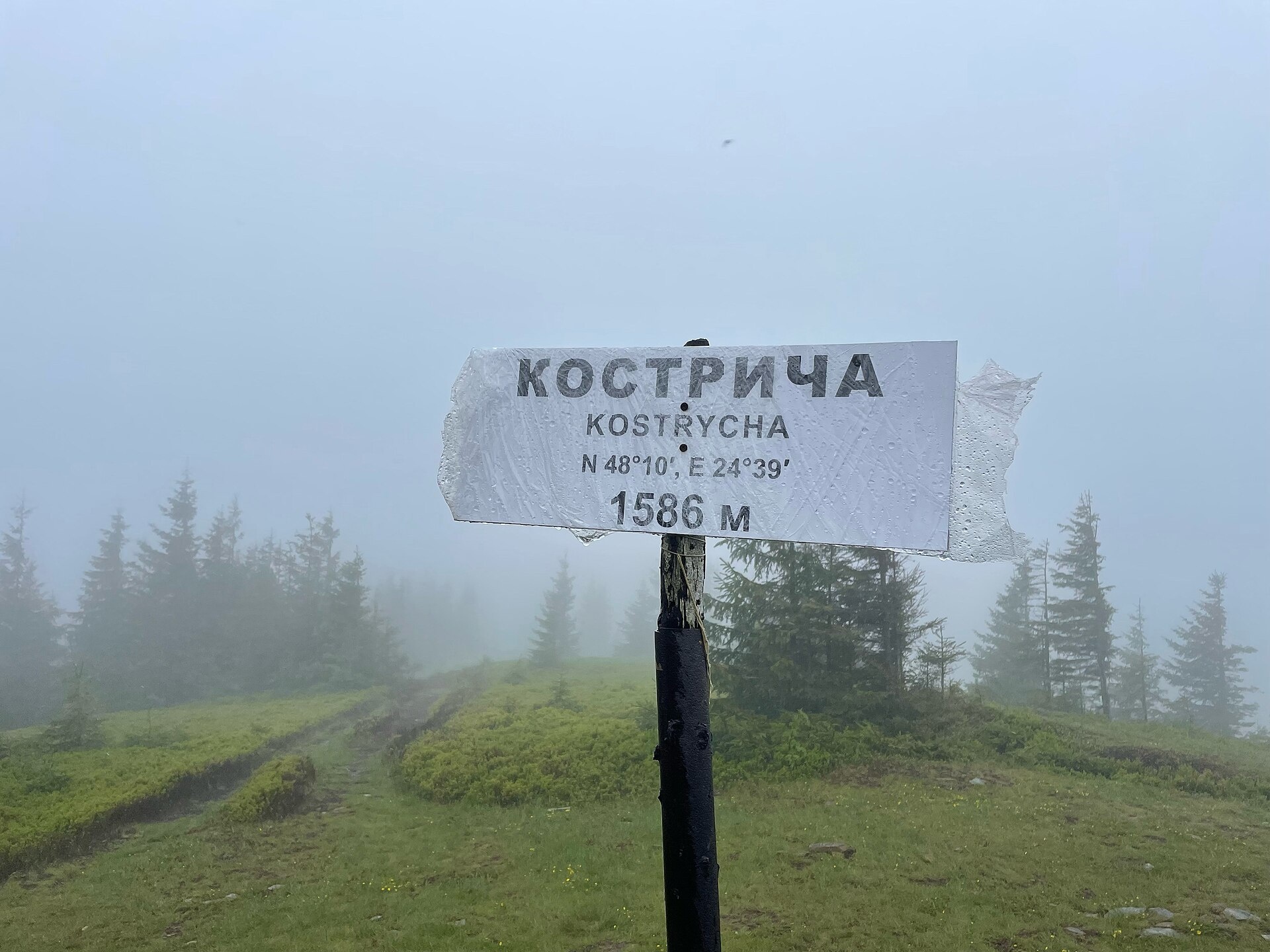
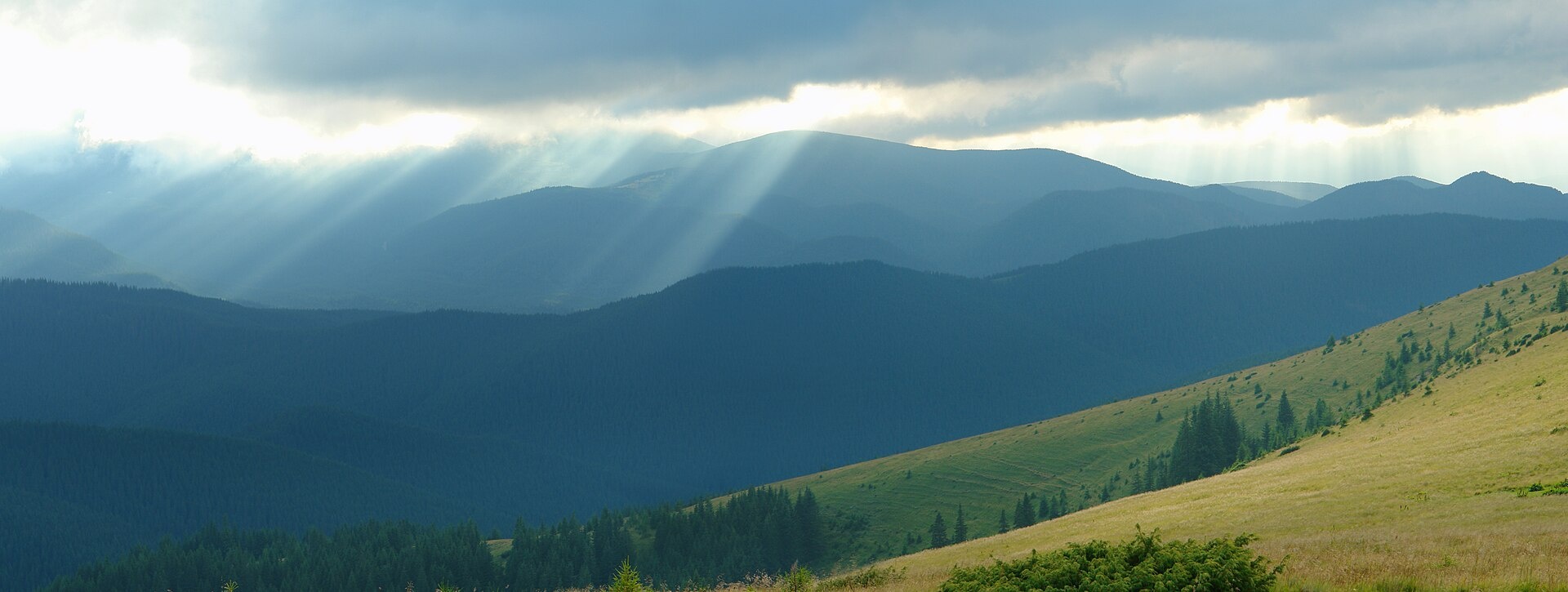
Kostrycha is the 1,586 m highest summit of the ridge of the same name. The Kostrycha ridge, which also includes Mount Kostrych (1,544 m) and Mount Kostrytsia (1,512 m), lies between the Chornohora range to the south-west and the Pokuttia-Bukovina Carpathians to the east. The nearest village is Kryvopillia in the Verkhovyna district of Ivano-Frankivsk Oblast, followed by Staishche and Bystrets.
How to get there
The classic approach starts at the Kryvopillia Pass (1,013 m): follow the red waymarks over the Bukovien, Vesnarka and Rohalova pastures to the summit and back to the pass, or take the shorter yellow-marked variant. On our site there is a short Kostrycha traverse (2.5 km) as well as longer routes passing the summit: Krasnyk – Kostrych ridge – Mount Kukul – Voronenko (39.2 km) and Iltsi – Mount Kukul – Voronenko (45.8 km). The East Carpathian Trail also runs along the Kostrycha ridge. From here it is easy to continue to neighbouring Kukul.
Water, shelter and safety
According to our map there are two springs near the summit, about 0.8 and 1.6 km away, and a hut on the Vesnarka pasture 1.5 km away. The ridge is mostly treeless and dangerous in a thunderstorm: check the forecast and descend in good time. In fog it is easy to lose the path on the wide pastures, so stick to the waymarks and carry an offline map. In an emergency call 112 or 101; contacts of the nearest units are on our mountain rescue page.
Interesting facts
- The name is linked to the word “koster”, a stack of hay or firewood: haystacks probably stood on the ridge's wide pastures in the old days. Another version derives it from fescue grass (kostrytsia), which grows on Carpathian slopes.
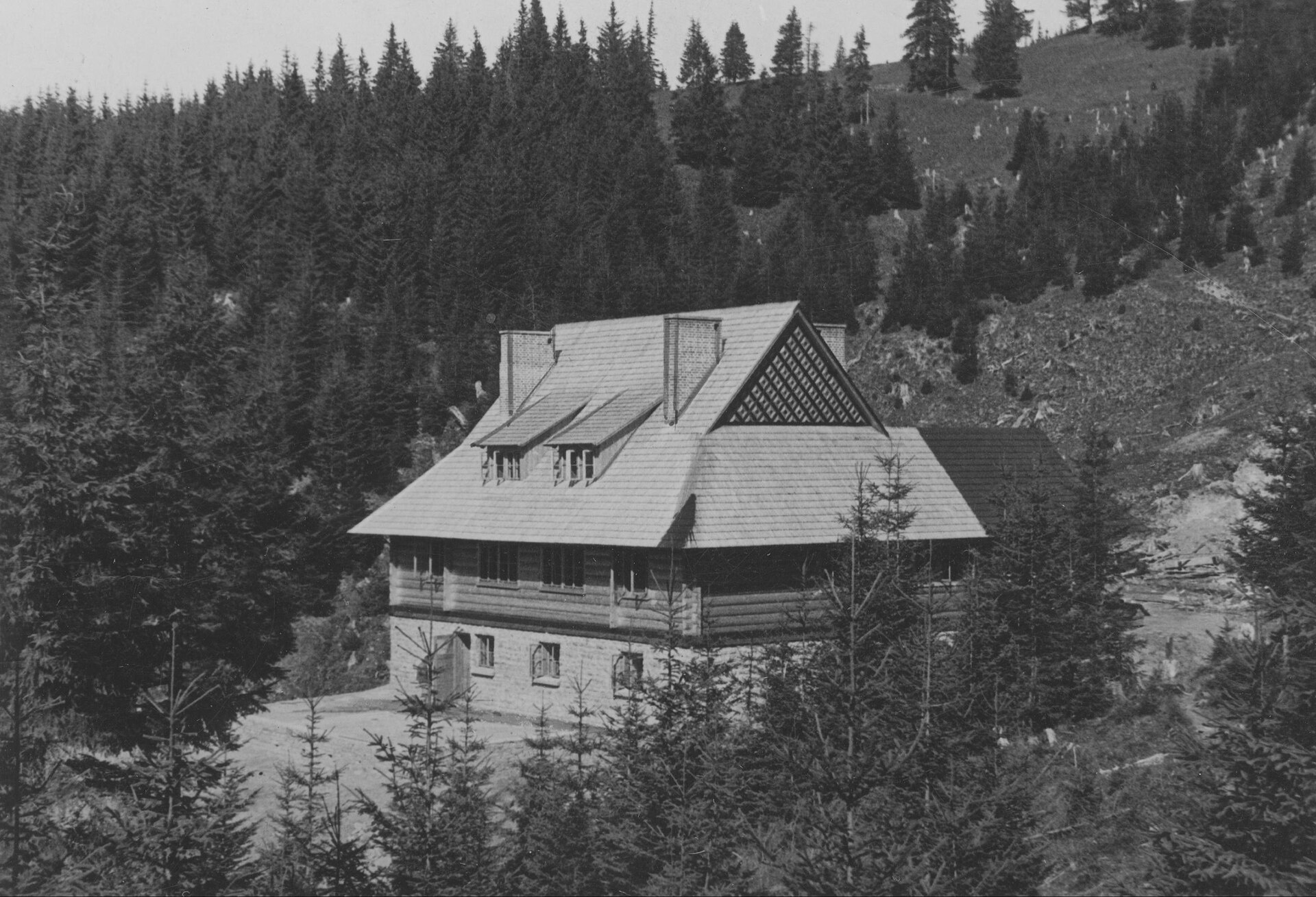
- A Polish scout mountain hut shaped like a Hutsul gražda stood on Kostrycha; it opened on 15 December 1935 and was burned during the Second World War. Only ruins remain.
Photos: Nata Mostova, CC BY-SA 4.0; Oleksandr Bravo, CC BY-SA 4.0; Віталій Попков, CC BY-SA 4.0; Jan Jaroszyński, Public domain — Wikimedia Commons.
Location on the map
Comments
Places to stay nearby
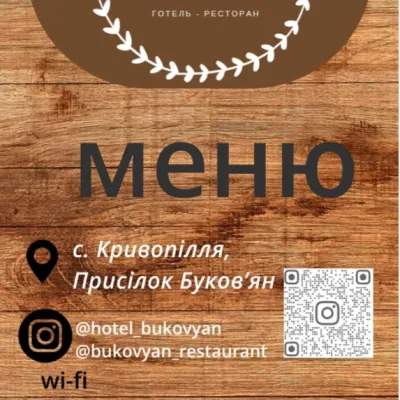 HotelHotel-Restaurant "Bukov'yan"3.2 km from Mount KostrychaHotel-Restaurant "Bukov'yan" offers a cozy getaway in the Carpathians, far from the hustle and bustle of the city.Nearby: Kryvopillia Pass 800 mPolonyna Dil 2.4 km6 trails
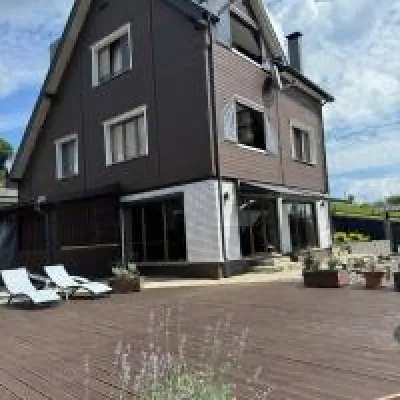 HomesteadUnderDil4.3 km from Mount KostrychaThe accommodation UnderDil is located in the village of Kryvopillia, just 42 km from the landmark "Vodospad Probiy".Nearby: Polonyna Dil 1.2 kmKryvopillia Pass 900 m6 trails
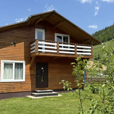 CottageDida's Estate8 km from Mount KostrychaA modern cottage in the Carpathians for your vacation Located 890 m above sea level in the colorful Hutsul village of VolovaNearby: Polonyna Dil 2.5 kmMt Rotilo 3.1 km5 trails
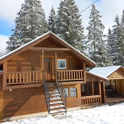 CottageOn the Mountain12 km from Mount KostrychaBBQKitchenWi‑FiNearby: Austrian viaduct bridge 2.5 kmPolonyna Borsuchyna 5.3 km8 trails
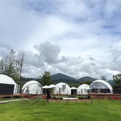 HotelGlamping EcoSpace Ethno12 km from Mount KostrychaHot tubPoolNearby: Polonyna Krinta 2.5 kmMuseum of mushrooms 2.8 km17 trails
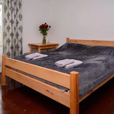 HomesteadHomestead "Sharm karpaty"12 km from Mount KostrychaSaunaSPABBQNearby: Polonyna Krinta 2.5 kmMuseum of mushrooms 2.8 km17 trails
Trails nearby
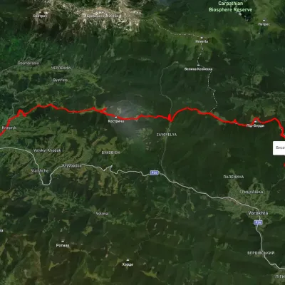 HardMulti-dayUnmarkedIltsi village to Voronenko villagevia Mount KukulElevation profile638–1 579 m45.8 kmascent 2 345 munder 1 km from Mount Kostrycha
 HardMulti-dayMarkedEast Carpathian Tourist TrailElevation profile635–1 819 m278.1 kmascent 14 105 munder 1 km from Mount Kostrycha
 HardMulti-dayUnmarkedKrasnyk village to Voronenko villagevia Kostrych ridge, Mount KukulElevation profile637–1 637 m39.2 kmascent 3 063 munder 1 km from Mount Kostrycha
Nearby attractions
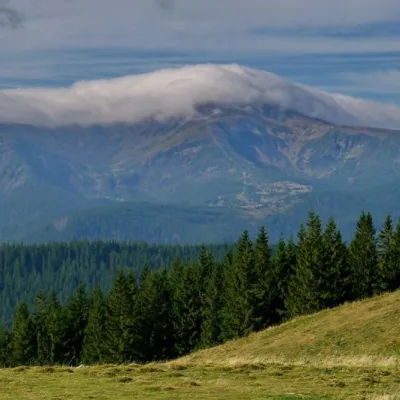 NatureKostrich Ridgeunder 1 km from Mount KostrychaThe ridge is located in the Verkhovyna district and is a well-known tourist attraction in the Carpathians.
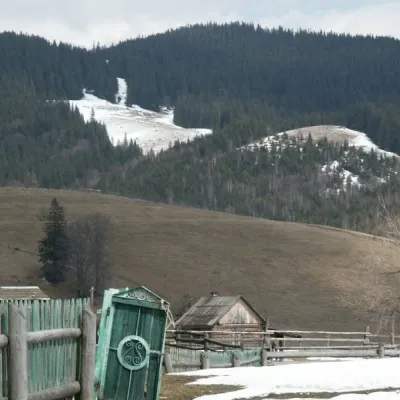 NatureKryvopillia Pass, Kryvopillia3.9 km from Mount KostrychaKryvopillia Pass is one of the most difficult passes in the Ukrainian Carpathians. It is located within the Verkhovyna-Putyla lowlands (in its northwestern part), on...
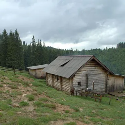 Mountain meadowPolonyna Dilaltitude 950 m5.5 km from Mount KostrychaShepherds graze cows in the meadow. You can buy dairy products from the shepherds, as well as take part in a master class on its preparation from May to October.