Mount Versalem
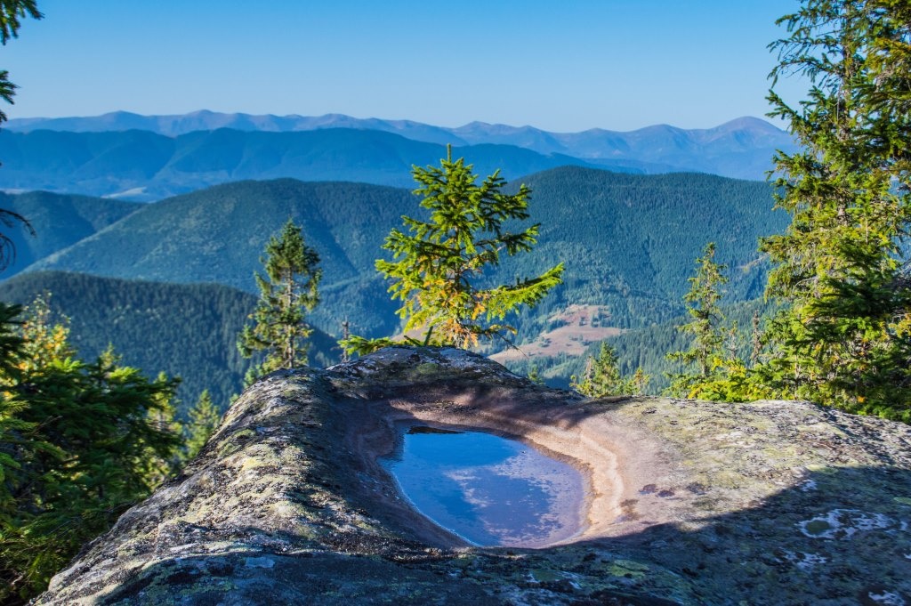
Versalem is a 1,407 m (more precisely 1,406.7 m) mountain in the Pokuttia-Bukovina Carpathians. It lies in the Verkhovyna district of Ivano-Frankivsk Oblast, north-east of the village of Volova, about 2.6 km from the summit as the crow flies. Other nearby villages are Kryvopillia and Staishche.
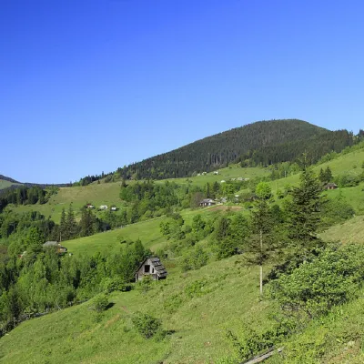
The summit is cone-shaped; only its western slopes merge into a ridge that leads south-east to Mount Rotylo, the highest summit of the Pokuttia-Bukovina Carpathians. Versalem's slopes are very steep and forested, and the summit is partly open. Munchelyk rises to the north-east and Khorde to the north-west.
How to get there
There is no waymarked route to Versalem on our site yet. The closest village is Volova. The most logical plan is to combine Versalem with Rotylo: a ridge links the two mountains, so both summits can be done in one day. Because of the steep slopes, allow more time for the climb than the map distance suggests. The best season for this hike is from late May to October; in winter and spring snow lies on the steep forest slopes, so without winter hiking experience it is better not to go.
Water, shelter and safety
According to our map, the nearest spring is about 1.9 km from the summit. There are several huts nearby: on the pasture below Rotylo (about 1.4 km; really just a rain shelter without windows or doors, unsuitable for the night), on the Rotundul pasture (about 1.6 km) and on the Munchelyk pasture (about 2 km). Their condition changes, so carry a tent or another overnight plan. Steep forest slopes are slippery after rain. In an emergency call 112 or 101; contacts of the nearest units are on our mountain rescue page.
Photos: Вася Дячук, CC BY-SA 4.0 — Wikimedia Commons.
Location on the map
Comments
Places to stay nearby
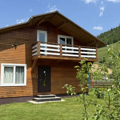 CottageDida's Estate2.6 km from Mount VersalemA modern cottage in the Carpathians for your vacation Located 890 m above sea level in the colorful Hutsul village of VolovaNearby: Polonyna Dil 2.5 kmMt Rotilo 3.1 km5 trails
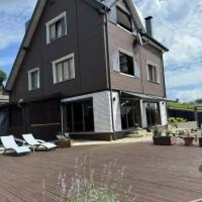 HomesteadUnderDil6.3 km from Mount VersalemThe accommodation UnderDil is located in the village of Kryvopillia, just 42 km from the landmark "Vodospad Probiy".Nearby: Polonyna Dil 1.2 kmKryvopillia Pass 900 m6 trails
 HotelHotel-Restaurant "Bukov'yan"7.4 km from Mount VersalemHotel-Restaurant "Bukov'yan" offers a cozy getaway in the Carpathians, far from the hustle and bustle of the city.Nearby: Kryvopillia Pass 800 mPolonyna Dil 2.4 km6 trails
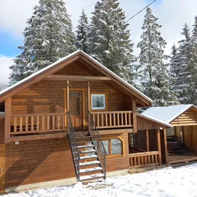 CottageOn the Mountain11 km from Mount VersalemBBQKitchenWi‑FiNearby: Austrian viaduct bridge 2.5 kmPolonyna Borsuchyna 5.3 km8 trails
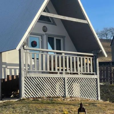 HomesteadHomestead "Bilosnizhny"12 km from Mount VersalemHomestead "Bilosnizhny" is located in the village of Iltsi, 250 meters from the main road, 8 km to the center of the village of Verkhovyna, near the Tatariv-Verkhovyna...Nearby: Assumption Church 2.8 kmMt Bila Kobyla 5.9 km17 trails
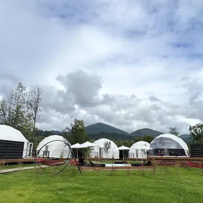 HotelGlamping EcoSpace Ethno14 km from Mount VersalemHot tubPoolNearby: Polonyna Krinta 2.5 kmMuseum of mushrooms 2.8 km17 trails
Trails nearby
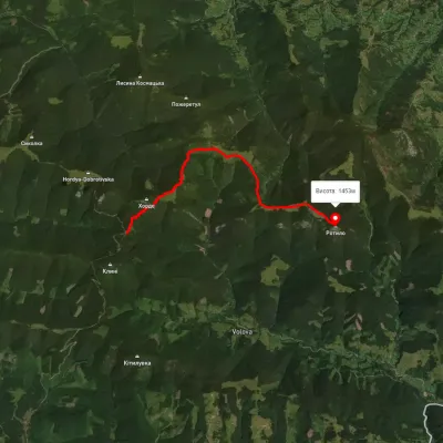 ModerateOne-dayMarkedTo Mount RotyloElevation profile1 210–1 453 m8.5 kmascent 646 m≈ 3.5 h walkingunder 1 km from Mount Versalem
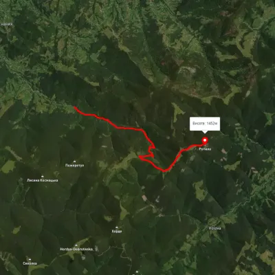 ModerateOne-dayUnmarkedKosmach village Mount RotyloElevation profile801–1 565 m9.6 kmascent 856 m≈ 4 h walkingunder 1 km from Mount Versalem
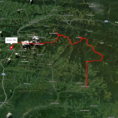 HardMulti-dayUnmarkedKosmach village to Bukovets villagevia Mount Rotylo, Mount Hrehit +1Elevation profile612–1 461 m40.2 kmascent 1 739 m≈ 13.5 h walkingunder 1 km from Mount Versalem
Nearby attractions
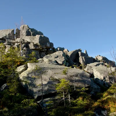 PeakMount Rotiloaltitude 1 483 m · Pokuttia-Bukovyna Carpathians range2.3 km from Mount Versalem6 trails to the topRotylo is a peak in the Ukrainian Carpathians, the highest mountain of the Pokutsko-Bukovyna mountain range.
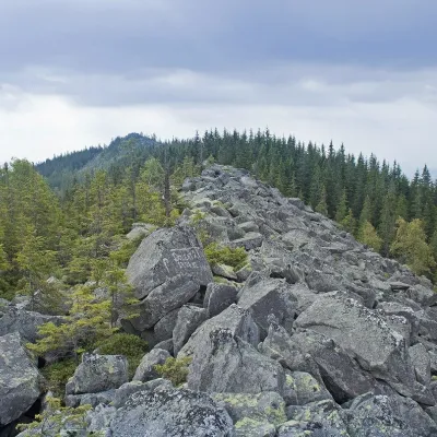 PeakMount Khordealtitude 1 479 m · Pokuttia-Bukovyna Carpathians range2.6 km from Mount Versalem6 trails to the topMount Khorde is a 1479-meter peak of the Ukrainian Carpathians, which is located within the Pokutsko-Bukovyna Carpathians.
 PeakMount Gregitaltitude 1 472 m · Pokuttia-Bukovyna Carpathians range4 km from Mount Versalem4 trails to the topMount Gregit is a 1472-meter peak in the Ukrainian Carpathians, which lies within the Pokutsko-Bukovyna Carpathians.