Mount Kin Grofetsky
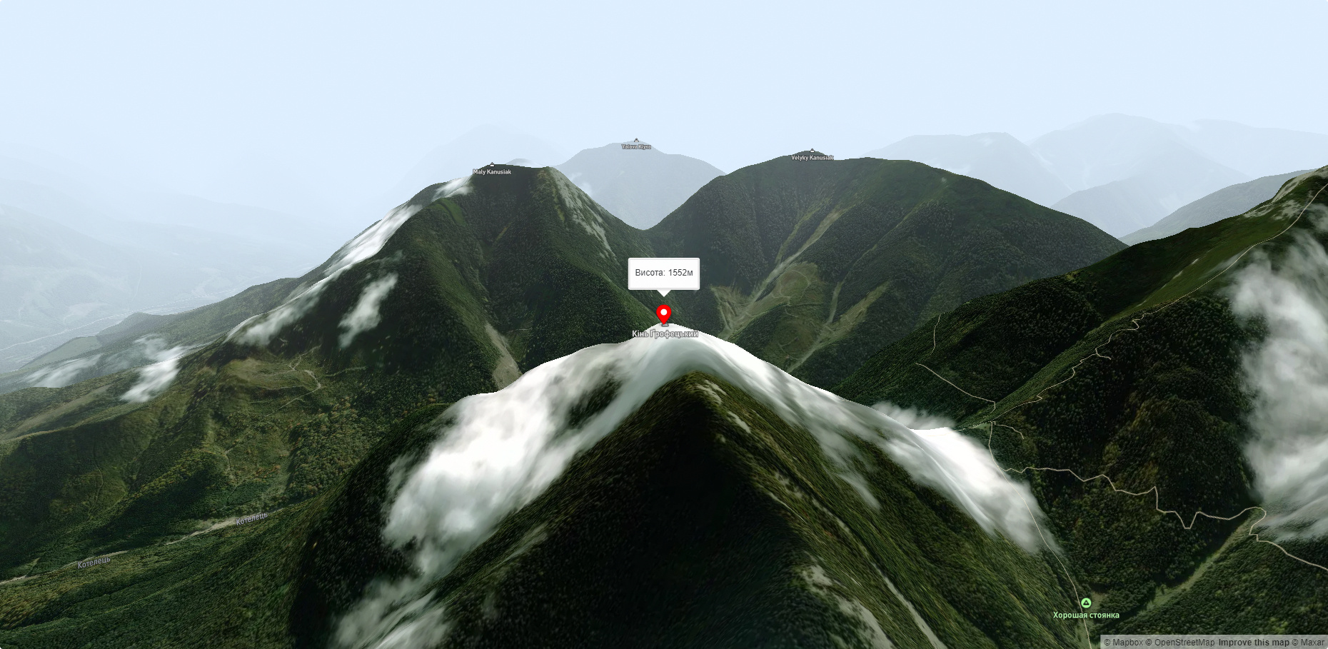
Mount Kin Grofetskyi is a 1,552-meter peak of the Ukrainian Carpathians. It is located in the western part of the Gorgan mountain range in the Rozhnyativ district of Ivano-Frankivsk region.
The Grofetsky Horse is the final (or initial, depending on which side you look from) peak in the Grofetsky-Popadia semicircle. The mountain system stretches from the local Studenets mountain through Petros Horhanskyi, Koretvina, Velyka Popadia, Mala Popadia, Parenky , and Grofa to the actual Grofetskyi Knight.
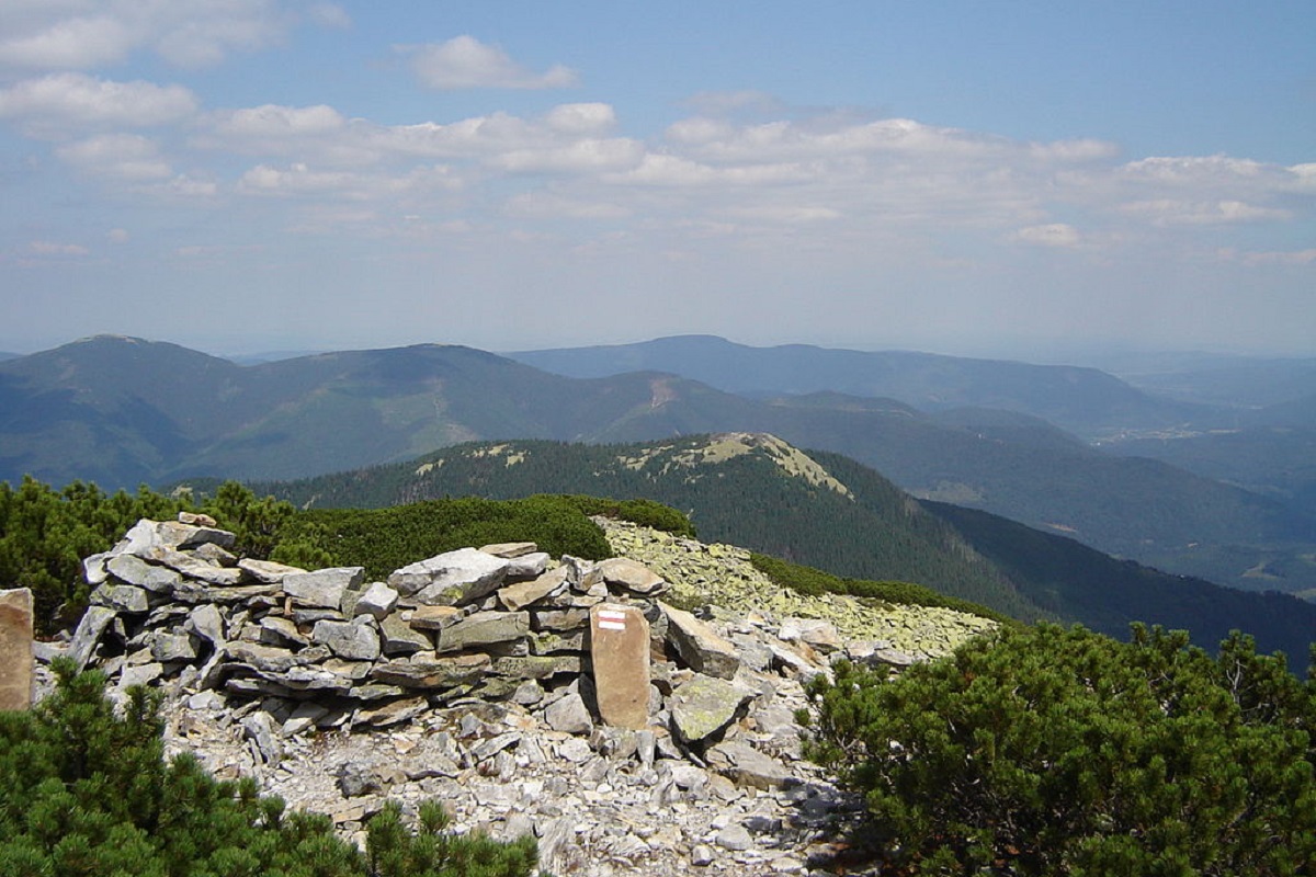
The peak itself is covered with traditional yellowish-green stone scree and dense, difficult to pass thickets of alpine pine.
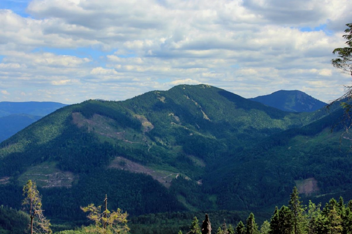
The northeastern slopes of Konya Grofetsky are quite steep and almost impassable. The southwestern part of the mountain is connected by a bridge to Mount Grofa, the northwestern part descends to Menchul, 1330 meters high, and from there to the Kruhla ur. and the Kotelets River.
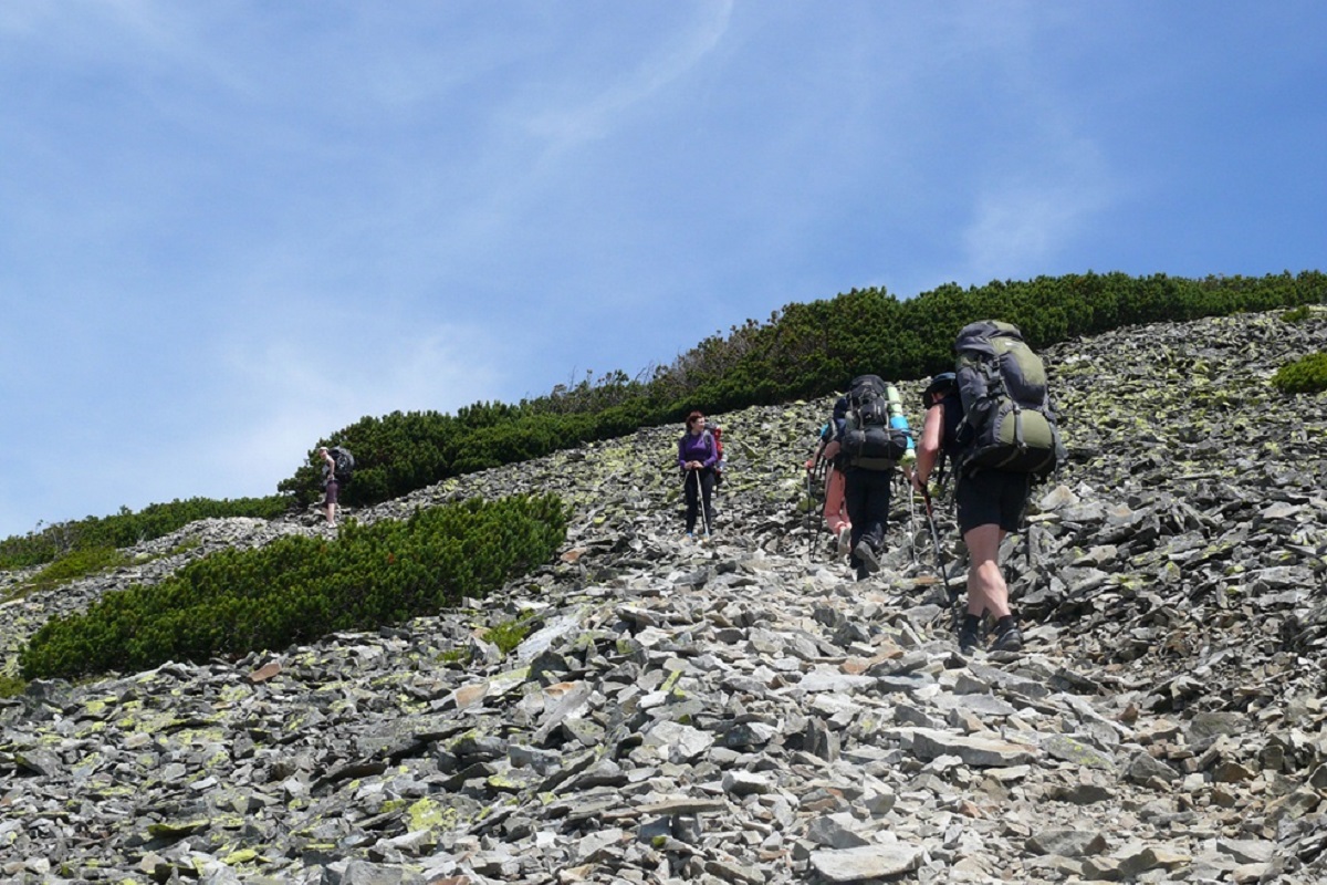
It is worth noting that there are currently no marked routes to the top of the Grofetsky Horse. However, there are two well-trodden trails: one goes from the Mount Grofa junction, the other from the Kotelets River valley.
The nearest settlement is the village of Osmoloda, which is located in the Rozhniativ district of Ivano-Frankivsk region.
Accommodation around Mount Kin Grofetsky:


Nearby hiking trails near Mount Kin Grofetsky:
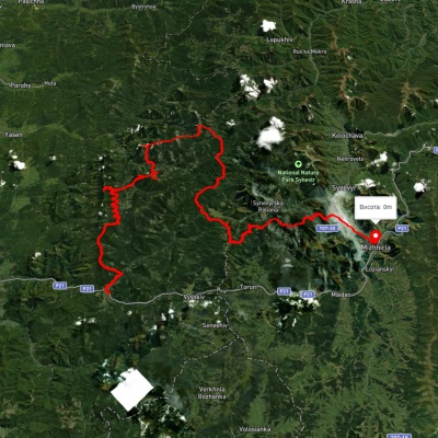
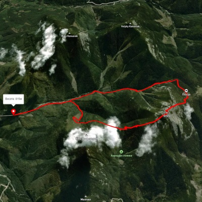
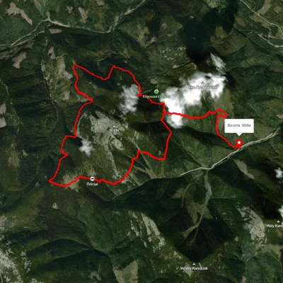
Which trails pass by Mount Kin Grofetsky?
We suggest these hiking trails through or near Mount Kin Grofetsky: Myslivka village, via Mount Moloda, Mount Popadia, Svoboda village, Lake Synevyr and Mount Ozerna to Mizhhiria, Osmoloda village – Mount Grofa – Osmoloda village, Eco-trail around Mount Grofa, East Carpathian Tourist Trail, Myslivka village, via Mount Yayko-Ilemske, Mount Moloda, Mount Grofa and Mount Popadia to Osmoloda village, Tatariv village, via Mount Syniak, Mount Dovbushanka, Mount Chorna Kleva, Mount Bratkivska, Mount Syvulia, Mount Kinets Horhanu, Mount Popadia and Mount Grofa to Myslivka village