Mount Petros Gorgansky
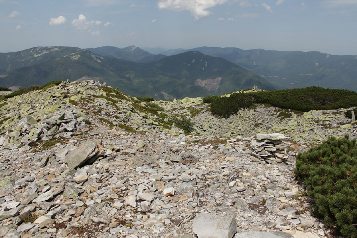
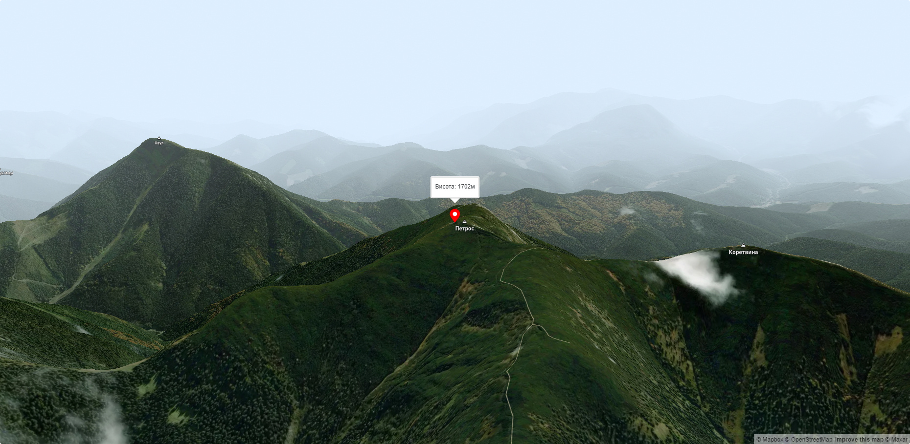
Petros Horhanskyi is a 1702 m high mountain (the Polish map of 1935 shows different information - 1708 m) in the central part of the Horhanskyi mountain range of the beautiful Ukrainian Carpathians. It is located in Rozhniativ district of Ivano-Frankivsk region.
Petros Horhanskyi is an X-shaped mountain with ridges oriented from southeast to northwest and from southwest to northeast. The slopes of the massif along the ridges are more gentle, unlike the northern, southern, western and eastern slopes, which are considered difficult or even impassable.
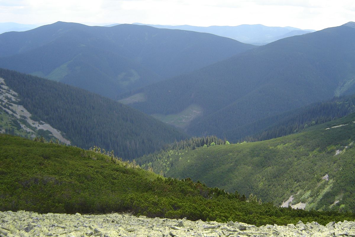
Beech and coniferous forests are common up to an altitude of 1350-1400 meters, and above this line there are meadows.
It is worth noting that it is on the slopes of Petros Horhanskyi that several streams originate, which merge at the foot into the small rivers Petros and Darivka, and those in turn flow into the Limnytsia.
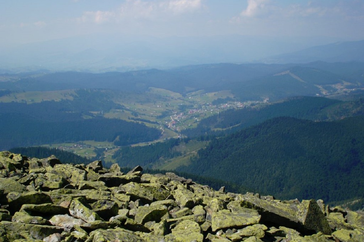
From the very top you can enjoy a beautiful view of a part of the Gorgan massif. From here you can clearly see Big and Small Syvuli, Velyka Popadia, Parenky, Studenets, etc.
The area where Petros Horhanskyi is located is sparsely populated.
The nearest settlements are the villages of Osmoloda, Kolochava and Synevyrska Polyana.
Accommodation around Mount Petros Gorgansky:


Nearby hiking trails near Mount Petros Gorgansky:
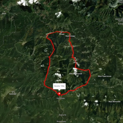
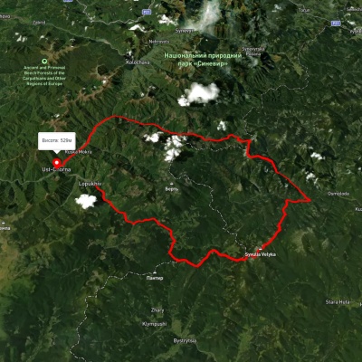
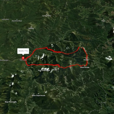
Which trails pass by Mount Petros Gorgansky?
We suggest these hiking trails through or near Mount Petros Gorgansky: Osmoloda village, via Mount Grofa, Mount Koretvyna and Mount Popadia to Osmoloda village, Lopukhiv village, via Legioniv Pass, Peklo tract, Mount Syvulia, Mount Popadia and Nimetska Mokra village to Ust-Chorna village, Osmoloda village, via Mount Koretvyna, Mount Mala Popadia and Mount Velyka Popadia to Osmoloda village, Myslivka village, via Mount Yayko-Ilemske, Mount Moloda, Mount Grofa and Mount Popadia to Osmoloda village, East Carpathian Tourist Trail, Osmoloda village, via Mount Grofa, Mount Parenky, Mount Koretvyna and Mount Popadia to Osmoloda village