Mount Stih (Dragobrat)
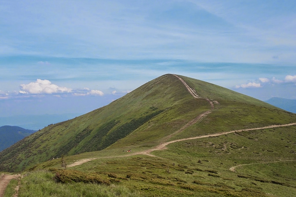
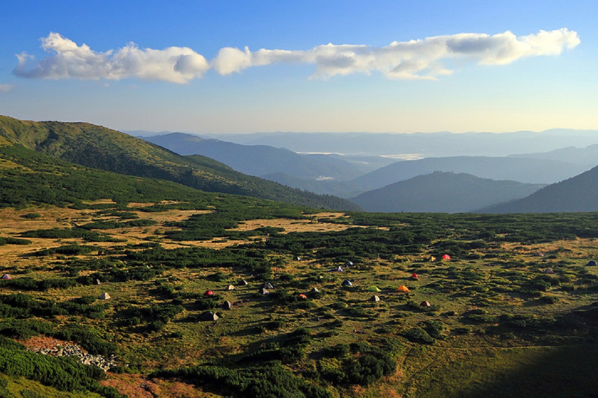
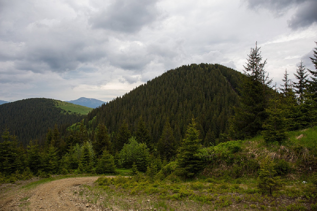
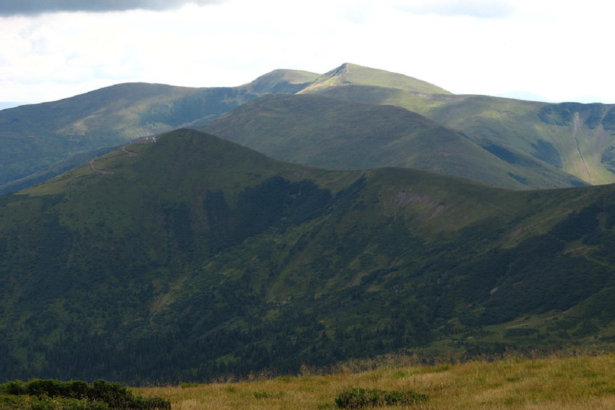
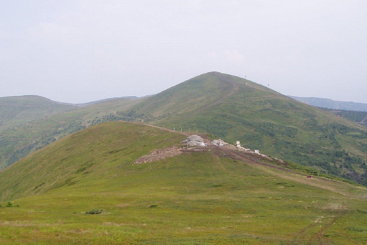
Stig (locally known as Stug) is a peak of the Ukrainian Carpathians, located in the Rakhiv district of Zakarpattia region in the northeastern part of the Svydovets mountain range.
The height of the mountain is 1704 meters (according to other information - 1707 m).
The slopes of Mount Stih in the northwestern direction are very steep and inaccessible, while in the eastern and western directions they are more gentle. The top of the mountain and its summit part are covered with meadows.
On the southern side of the Stog is a bridge that connects to Mount Blyznytsia. To the northwest of the peak is Mount Velykyi Kotel, and to the east is the popular Dragobrat ski resort.
It is worth noting that the popular route "Over the Peaks of Svydovets" stretches across Mount Stig, which leads from the village of Ust-Chorna to the village of Yasinia (or in the opposite direction).
The nearest settlement is Yasinia (Rakhiv district, Zakarpattia region).
The summit at a glance
- Elevation: 1704 m above sea level
- Range: Svydovets
- Nearest settlement: Yasinya
- Routes over the summit on Karpaty.rocks: 43
- Best time: June–September; in winter only with experience and gear (avalanche danger is possible)
Routes to the summit
The routes over the summit most viewed by Karpaty.rocks readers. Length and ascent come from our track and a digital elevation model, time from Naismith's rule (without stops).
- Chorna Tysa village, via Dragobrat, Lake Vorozheska, Lake Dohiaska, Lake Apshynets and Mount Stih to Kvasy village — 36.6 km, ascent 1,634 m, ≈12 h of walking
- Dragobrat, via Mount Stih, Mount Velykyi Kotel, Mount Unhariaska and Mount Tempa to Krasna village — 35.3 km, ascent 783 m, ≈10 h of walking
- Dragobrat, via Mount Blyznytsia and Mount Stih to Dragobrat — 10.6 km, ascent 667 m, ≈4 h of walking, loop
- Dragobrat, via Mount Blyznytsia and Lake Izvor to Dragobrat — 8.4 km, ascent 590 m, ≈3 h of walking, loop
- Yasinia, via Dragobrat, Mount Blyznytsia and Lake Ivor to Kvasy village — 24.3 km, ascent 1,605 m, ≈9 h of walking
- Chorna Tysa village, via Mount Dohiaska, Mount Velykyi Kotel and Mount Blyznytsia to Kvasy village — 36.8 km, ascent 1,961 m, ≈12.5 h of walking
All routes over the summit (43)
Weather and safety
The summit is above the tree line: fog, strong wind and thunderstorms are possible even in summer, and the weather can change within hours. Check the forecast before you set off, take water, a rain jacket and a warm layer, and plan to reach the top before midday. Summit weather forecast.
In an emergency call 101 or 112. Carpathian mountain rescue contacts.
FAQ — Stih (Dragobrat)
Stih (Dragobrat): how high is the summit?
It rises to 1704 m above sea level and belongs to the Svydovets range.
Stih (Dragobrat): how long does it take to reach the summit?
The shortest of the popular routes is “Dragobrat, via Mount Blyznytsia and Lake Izvor to Dragobrat”: 8.4 km with 590 m of ascent, about 3 h of walking without stops. Allow extra time for rests, photos and the weather.
Stih (Dragobrat): when is the best time to go?
June to September, when the paths are free of snow. In winter the ascent is only for experienced hikers with avalanche gear and after checking the forecast.
Stih (Dragobrat): where to stay nearby?
The nearest settlement in our data is Yasinya. Places to stay nearby: hotels, guesthouses and cottages.
Location on the map
Water and shelter nearby
- Spring below Mount Stih (14)320 m · Not verified · 1 573 m
- Spring below Mount Stih (15)370 m · Weak flow · 1 558 m
- Spring below Mount Stih (13)740 m · Not verified · 1 580 m
- Spring below Mount Stih (16)770 m · Not verified · 1 534 m
- Spring below Mount Stih (12)880 m · Not verified · 1 587 m
- Spring below Mount Stih (11)970 m · Not verified · 1 600 m
- Spring below Mount Stih (17)1.1 km · Not verified · 1 512 m
- Mountain shelter “Drahobrat”1.2 km · Not verified · 1 347 m
- Spring below Mount Stih (18)1.2 km · Not verified · 1 339 m
- Spring below Mount Stih (9)1.3 km · Not verified · 1 582 m
- Spring below Mount Stih (8)1.3 km · Not verified · 1 604 m
- Hut on Polonyna Krachunieska1.4 km · Not verified · 1 214 m
- Spring below Mount Stih (10)1.4 km · Not verified · 1 559 m
- Spring below Mount Stih (7)1.4 km · Not verified · 1 601 m
- Spring below Mount Stih (6)1.6 km · Not verified · 1 582 m
- Spring below Mount Stih (4)1.7 km · Not verified · 1 506 m
Comments
Places to stay nearby
All stays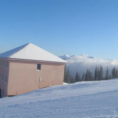 HotelHomestead "Malva"Drahobratunder 1 km from Mount Stih (Dragobrat)TransferNearby: Mt Stih 900 mPolonyna Drahobrat 900 m9 trails
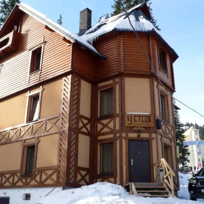 HotelHotel "U Stozi" (Dragobrat - Yasinya)Yasinya1.2 km from Mount Stih (Dragobrat)BBQParkingWi‑FiNearby: Polonyna Drahobrat 500 mMt Stih 1.2 km9 trails
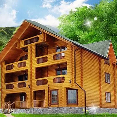 HotelHotel "Kazka Karpat" DragobratYasinya1.3 km from Mount Stih (Dragobrat)TransferNearby: Polonyna Drahobrat 400 mMt Stih 1.3 km9 trails
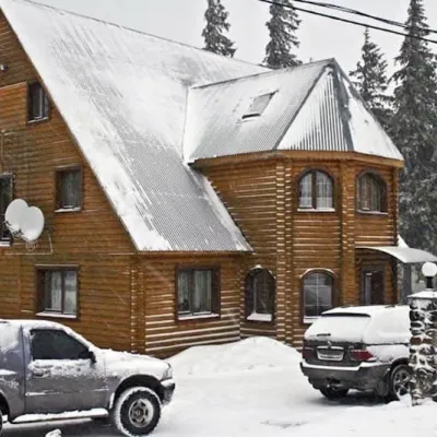 HotelHotel "Velyka Vedmedytsia" DragobratDrahobrat1.5 km from Mount Stih (Dragobrat)SaunaKitchenParkingNearby: Polonyna Drahobrat 200 mMt Stih 1.5 km9 trails
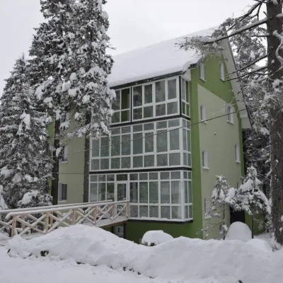 HotelHotel "Zelena Dacha" DragobratYasinya1.5 km from Mount Stih (Dragobrat)PoolSaunaBBQNearby: Polonyna Drahobrat 200 mMt Stih 1.5 km9 trails
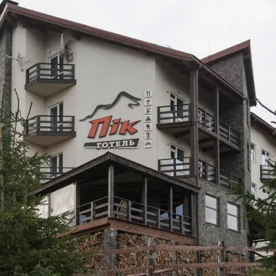 HotelHotel "PiK" DragobratYasinya1.6 km from Mount Stih (Dragobrat)Hot tubSaunaKitchenNearby: Polonyna Drahobrat 500 mMt Bliznytsia 2.7 km9 trails
Trails via Mount Stih (Dragobrat)
All 43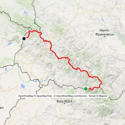 HardMulti-dayMarkedTranscarpathian Tourist TrailElevation profile202–2 061 m393.2 kmascent 17 790 m
 HardMulti-dayChorna Tysa village to Kvasy villagevia Dragobrat, Lake Vorozheska +3Elevation profile631–1 771 m36.6 kmascent 1 728 m≈ 12.5 h walking
 HardMulti-dayDragobrat to Krasna villagevia Mount Stih, Mount Velykyi Kotel +2Elevation profile421–1 762 m35.3 kmascent 871 m≈ 10.5 h walking
Nearby attractions
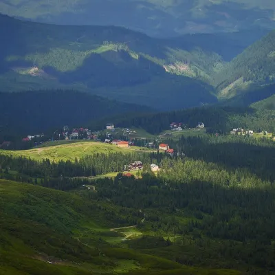 Mountain meadowPolonyna DrahobratYasinyaaltitude 1 350 m · Svydovets range1.6 km from Mount Stih (Dragobrat)Drahobrat is a high polonyna (mountain pasture) on the northern slopes of the Svydovets massif in the Rakhiv district of Zakarpattia, at the foot of Mount Stih (1,704...
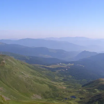 PeakMount Drahobrat (Zhandarm)Drahobrataltitude 1 763 m · Svydovets range2.2 km from Mount Stih (Dragobrat)Drahobrat, also called the First Zhandarm, is a 1,763 m mountain on the Urdu-Flavantuch ridge in the eastern part of the Svydovets massif.
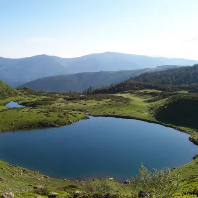 LakeLake VorozheskayaChorna Tysa3.6 km from Mount Stih (Dragobrat)The real pearl of the Carpathians - Lake Vorozheska (other names - Vorozheska, Triton ) - is a hydrological natural monument of local importance, a high-mountain lake...
Craft nearby
All craft places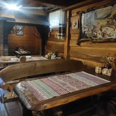 Koliby & Hutsul cuisineU Rizbaria Café, YasiniaYasinya10 km from Mount Stih (Dragobrat)U Rizbaria Café (“At the Woodcarver’s”) in Yasinia is a small Hutsul place serving home cooking that travellers usually find by word of mouth.
 Craft beer & breweriesTsypa Brewery, KvasyKvasy12 km from Mount Stih (Dragobrat)The Tsypa Hutsul craft brewery in Kvasy is probably the best-known brewery in the Ukrainian Carpathians.
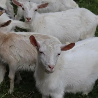 Eco farmsRozental Eco-Farm and Cheese Dairy, KvasyKvasy12 km from Mount Stih (Dragobrat)Beer and cider are brewed here, sheep's-milk ice cream is made, and in the Vaskul area above the village sits the Rozental eco-farm and cheese dairy.
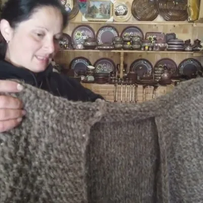 Markets & fairsSouvenir Market on the Yablunytsia Pass, YablunytsiaYablunytsia17 km from Mount Stih (Dragobrat)The souvenir market on the Yablunytsia Pass is one of the best-known roadside bazaars in the Carpathians.
 Adventures & attractionsSpeed Fun rodelbahn (mountain coaster), BukovelPolianytsia (Bukovel)17 km from Mount Stih (Dragobrat)Speed Fun rodelbahn is a rail-mounted mountain coaster in Bukovel, Ukraine's first all-weather ride of its kind, built by the German company Wiegand.
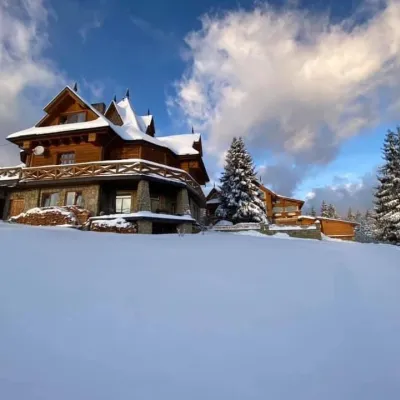 Koliby & Hutsul cuisineVysokyi Pereval Koliba, YablunytsiaYablunytsia18 km from Mount Stih (Dragobrat)Vysokyi Pereval Koliba ("High Pass") stands in Yablunytsia, on the new road to Bukovel, in the Horishkiv area.