Mount Menchil
Menchil is a 1,588 m summit (other sources give 1,547 m) on the southern spur of Chornohora, in the Rakhiv district of Zakarpattia Oblast. The spur branches south from the main crest between Petros and Hoverla; Hoverla itself lies about 7 km to the north-east. The nearest village is Luhy (about 5.5 km), followed by Breboia (8.5 km) and Bohdan (11 km), towards which the ridge descends in the south.
To the west the Menchil massif is bounded by the Bohdan valley, to the east by the Hoverla valley; both rivers flow into the Bila Tysa, which separates Chornohora from the Rakhiv Mountains. The summit rises about 800 m above the surrounding valleys. Its top is a small meadow broken by spruce and, in places, dwarf mountain pine, while below 1,300 m the slopes are covered with mixed forest. The mountain lies within the Carpathian Biosphere Reserve. The nearest summit in OSM is Pereslip (1,155 m), about 2.7 km to the south-west.
How to get there
There is no marked path to Menchil, and none of our routes crosses the summit. The closest, about 2 km away, are the routes from Luhy to Hoverla: Luhy – Mount Hoverla – Zaroslyak base (23.7 km), Luhy – Hutyn Tomnatyk – Lake Brebeneskul – Lake Nesamovyte – Hoverla – Luhy (45.4 km) and Kvasy – Petros – Hoverla – Hoverla village – Luhy (55.8 km). From them you have to continue on unmarked forest roads and paths, so a map, a GPS and good navigation skills are essential.
Water, shelter and safety
Our map shows no springs near the summit. The nearest are on the slopes above Luhy, about 2.3–3 km to the east and north-east, at 800–1,100 m; around 3 km from the summit there is also a weather shelter and a hut. About 2.8 km to the west, in the valley, stands the checkpoint cabin of the Carpathian Biosphere Reserve. Carry water, follow the reserve rules and allow time for tricky navigation in the forest. The nearest summit with our forecast is the weather on Petros (about 7 km). In an emergency call 112 or 101 — contacts of the nearest units are on our mountain rescue page.
Interesting facts
- Sources disagree on Menchil’s height: OpenStreetMap gives 1,588 m, the Ukrainian Wikipedia 1,547 m; digital elevation models (about 1,575–1,579 m) are closer to the first figure.
- The summit looks out on Petros and Hoverla to the north, Blyznytsia and Apetska in Svydovets to the west, and the Marmarosh range with Pip Ivan and Romania’s Farcău to the south; on a clear day Pietrosul (2,303 m) in the Rodna Mountains shows on the horizon.
- Hikers rarely come here: most head for neighbouring Hoverla.
Comments
Places to stay nearby
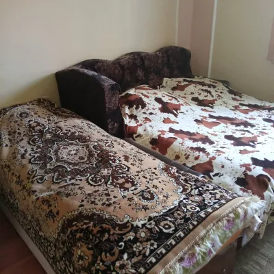 CottageHomestead "U Ivanky"13 km from Mount MenchilKitchenWi‑FiNearby: Mt Sheshul 7.1 kmNyzhnyi Huk waterfall 9.2 km44 trails
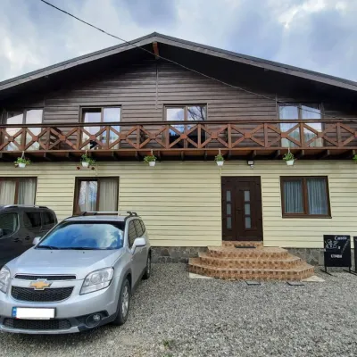 HotelCube (KUB)13 km from Mount MenchilBBQParkingWi‑FiNearby: Mt Sheshul 7.2 kmMt Bliznytsia 8.6 km44 trails
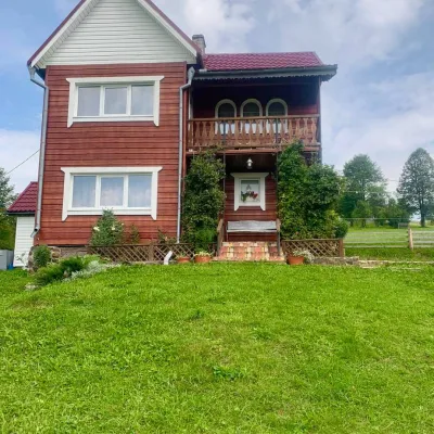 HomesteadGuest house "U Iryny"17 km from Mount MenchilWelcome to our cozy house located in the very heart of the Carpathians. This is the perfect place for those seeking solitude, harmony with nature, and to return home...Nearby: Strukivska Church 2.0 kmChurch of the Transfiguration 1.2 km40 trails
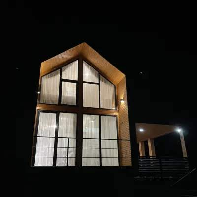 CottageArtMi19 km from Mount MenchilFireplaceKitchenParkingNearby: Church of the Transfiguration 2.8 kmStrukivska Church 5.7 km32 trails
 HotelHotel-Restaurant "Bukov'yan"19 km from Mount MenchilHotel-Restaurant "Bukov'yan" offers a cozy getaway in the Carpathians, far from the hustle and bustle of the city.Nearby: Kryvopillia Pass 800 mPolonyna Dil 2.4 km6 trails
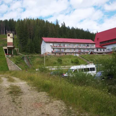 HotelTraining and Sports Base "Zaroslyak" at Hoverla9 km from Mount MenchilPoolSaunaParkingNearby: Polonyna Pozhizhevska 1.2 kmMt Hoverla 2.8 km32 trails
Trails nearby
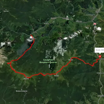 HardMulti-dayUnmarkedLuhy village to Kvasy villagevia Lake Nesamovyte, Mount Hoverla +1Elevation profile533–2 032 m37.8 kmascent 2 881 m2.7 km from Mount Menchil
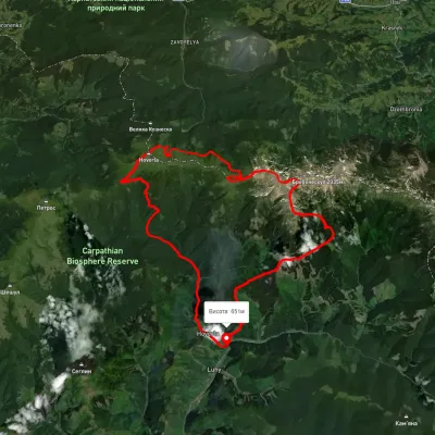 HardMulti-dayUnmarkedLuhy village loopvia Mount Hutyn Tomnatyk, Lake Brebeneskul +2Elevation profile650–2 039 m45.4 kmascent 3 607 m2.8 km from Mount Menchil
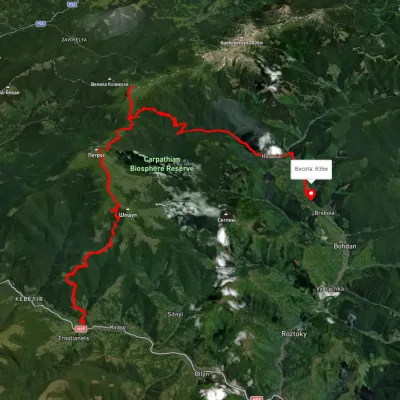 HardMulti-dayUnmarkedKvasy village to Luhy villagevia Mount Petros, Mount Hoverla +1Elevation profile539–2 057 m55.8 kmascent 2 207 m2.8 km from Mount Menchil
Nearby attractions
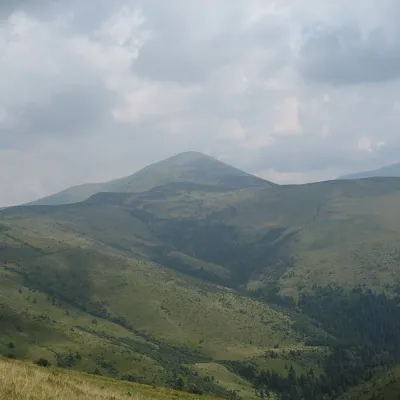 Mountain meadowPolonyna Rognieskaaltitude 1 429 m · Chornohora range5.1 km from Mount MenchilRognieska is a meadow on the Chornohora mountain range (Ukrainian Carpathians), in the Rakhiv district of Zakarpattia region.
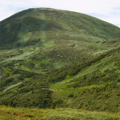 PeakMount Breskulaltitude 1 911 m · Chornohora range6.4 km from Mount Menchil80 trails to the topBreskul (another name for the mountain is Bretskul), 1911 meters high, is a famous mountain peak in the Ukrainian Carpathians, located in the Chornohora mountain range...
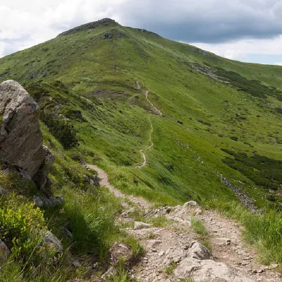 PeakMount Turkulaltitude 1 933 m · Chornohora range6.6 km from Mount Menchil93 trails to the topTurkul, 1933 meters high, is one of the peaks of the Ukrainian Carpathians, located in the Chornohora mountain range.