Breboia
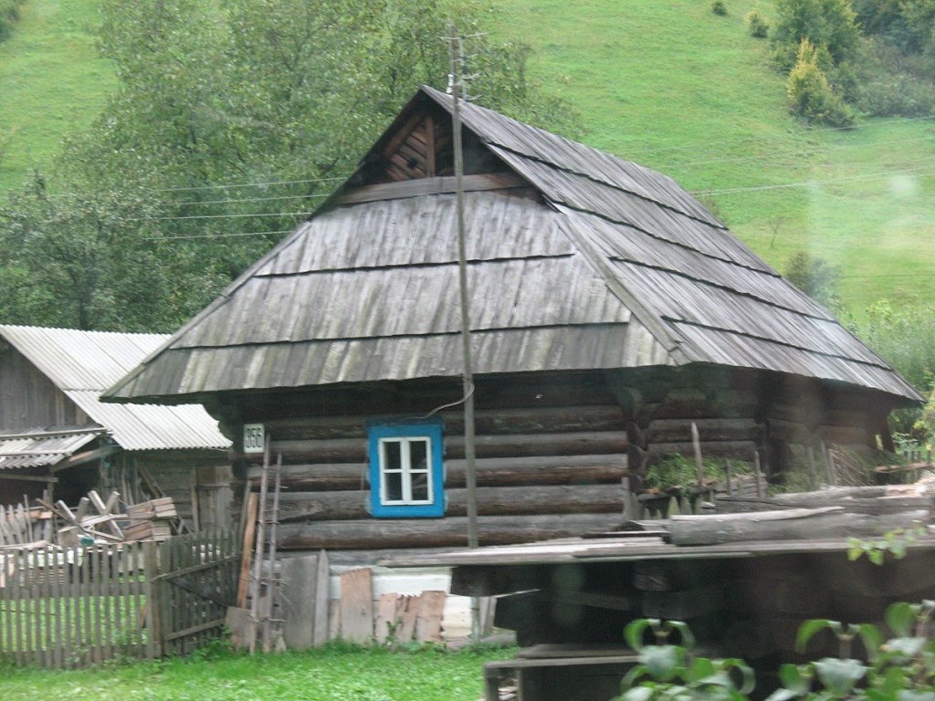
Breboia is a settlement in the Carpathian region of Ukraine. Location: Rakhiv district, Transcarpathian region. Worth seeing nearby: Bila Tysa River — 3 km; Nyzhnyi Huk waterfall — 7 km; Church of the Assumption of the Blessed Virgin Mary, Roztoky — 7 km. The nearest peaks: Mount Menchil — 1 588 m; Mount Mezhypotoky — 1 713 m; Mount Petros of Marmaros — 1 781 m. Hiking trails close by: Bohdan village, via Mount Pip Ivan Marmaroskyi, Mount Mika-Mare, Mount Pip Ivan Chornohirskyi and Luhy village to Bohdan village; Bohdan village – Rohnieska polonyna. There are places to stay here and nearby, from guest houses to hotels.
Below: places to stay, sights, trails and peaks nearby, the weather and answers to frequent questions.
Comments
Travellers’ experience: reports, tips, questions.
No one has written here yet. Be the first — your experience helps others.
What's nearby
What to visit
Landmarks, museums and places of interest near Breboia.
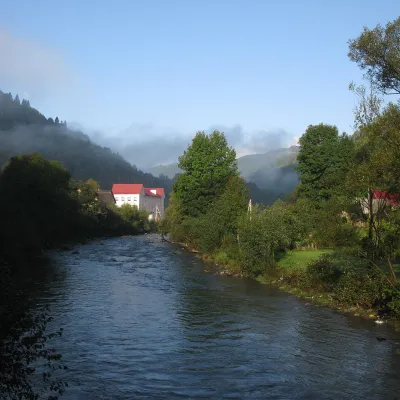 RiverBila Tysa RiverBohdan3.2 km from the centreThe Bila Tysa rises on the south-western slopes of Chornohora, where the Stohovets and Balzatul streams meet, and runs down the valley through the villages of Hoverla,...
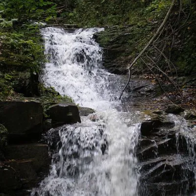 WaterfallNyzhnyi Huk waterfallRoztoky · Chornohora6.9 km from the centreheight 2 m448 m above sea levelNyzhnyi Huk waterfall is located in the Vyzhnytsia district of Chernivtsi region in western Ukraine. It is located in a picturesque Carpathian landscape and is part of...
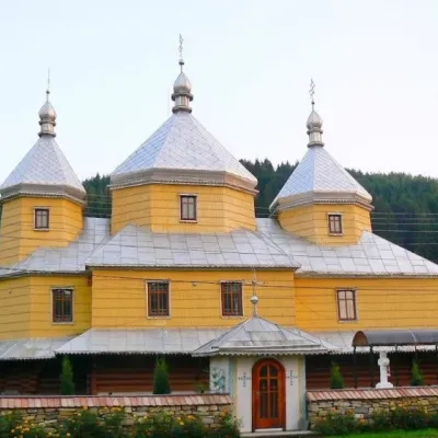 ChurchChurch of the Assumption of the Blessed Virgin Mary, RoztokyRoztoky6.9 km from the centreTheChurch of the Assumption of the Blessed Virgin Mary in the village of Roztoky, Chernivtsi Oblast, was built in 1846 from spruce beams in the style of the Bukovyna...
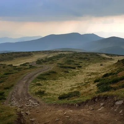 Mountain meadowPolonyna SheshulKvasyaltitude 1 620 m · Chornohora range11 km from the centreSheshul Polonyna is a treeless grassy ridge on the south-western spur of Petros in the western part of the Chornohora range, Rakhiv district, Zakarpattia.
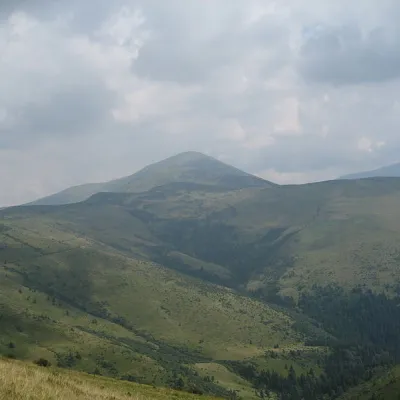 Mountain meadowPolonyna RognieskaKvasyaltitude 1 429 m · Chornohora range12 km from the centreRognieska is a meadow on the Chornohora mountain range (Ukrainian Carpathians), in the Rakhiv district of Zakarpattia region.
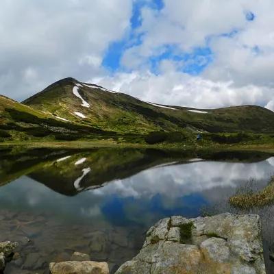 LakeHigh-mountainous Lake Nesamovite (1750 m.a.s.l., Chornohora ridge)Vorokhta14 km from the centre1 750 m above sea levelup to 1.5 m deepNesamovyte is one of the highest lakes in the Ukrainian Carpathians (1750 m above sea level). It is located within the Nadvirna district of Ivano-Frankivsk region.
Craft nearby
All craft places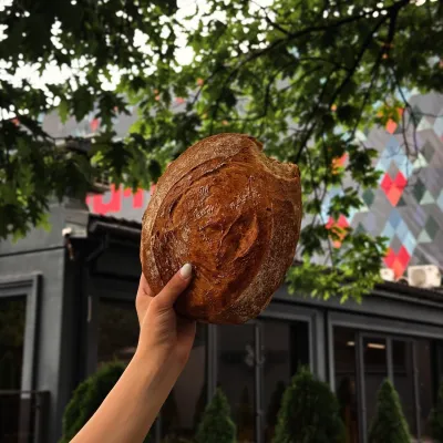 Craft producersDU-MEN craft bakery, RakhivRakhiv14 km from the centreDU-MEN (DU•MEN.craft bakery) is a craft bakery in Rakhiv which, in its own words, has been baking “bread with a history” for twelve years.
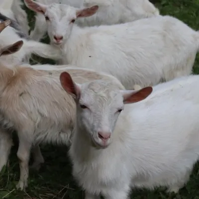 Eco farmsRozental Eco-Farm and Cheese Dairy, KvasyKvasy14 km from the centreBeer and cider are brewed here, sheep's-milk ice cream is made, and in the Vaskul area above the village sits the Rozental eco-farm and cheese dairy.
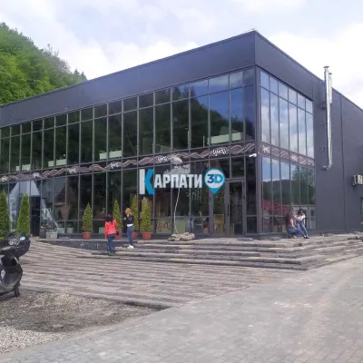 Craft beer & breweriesTsypa Brewery, KvasyKvasy14 km from the centreThe Tsypa Hutsul craft brewery in Kvasy is probably the best-known brewery in the Ukrainian Carpathians.
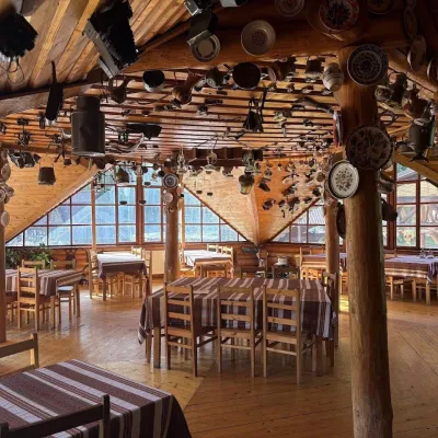 Koliby & Hutsul cuisineKolyba Museum, DiloveDilove17 km from the centreThe Kolyba Museum in Dilove is a timber restaurant serving Hutsul food right on the H09 highway, a few steps from the marker of the geographical centre of Europe in...
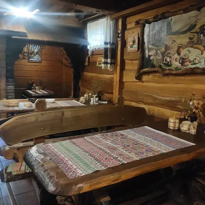 Koliby & Hutsul cuisineU Rizbaria Café, YasiniaYasinya25 km from the centreU Rizbaria Café (“At the Woodcarver’s”) in Yasinia is a small Hutsul place serving home cooking that travellers usually find by word of mouth.
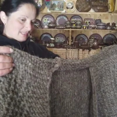 Markets & fairsSouvenir Market on the Yablunytsia Pass, YablunytsiaYablunytsia29 km from the centreThe souvenir market on the Yablunytsia Pass is one of the best-known roadside bazaars in the Carpathians.
Where to stay
Hotels, sadybas and cottages in and around Breboia.
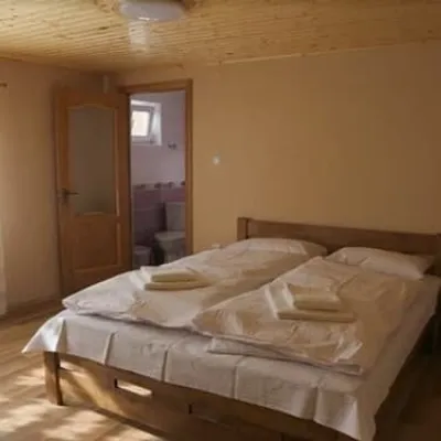 HotelKraftova SadybaRakhiv12 km from the centreBBQParkingWi‑FiNearby: Church of St. John Nepomuk 1.6 kmNyzhnyi Huk waterfall 5.7 km12 trailsfrom 1 190 UAH per night
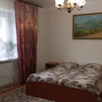 HotelU ErykaRakhiv12 km from the centrePoolSaunaBBQNearby: Church of St. John Nepomuk 1.5 kmNyzhnyi Huk waterfall 5.7 km12 trailsfrom 600 UAH per night
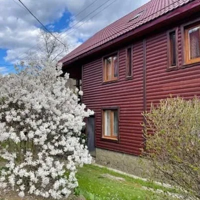 HotelNad TysoyuKvasy12 km from the centreBBQParkingWi‑FiNearby: Polonyna Sheshul 7.0 kmMt Sheshul 8.3 km47 trailsfrom 1 200 UAH per night
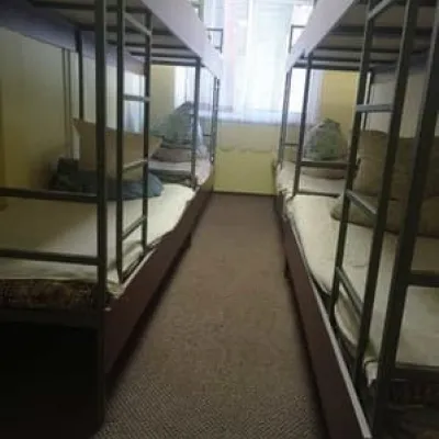 HostelAS RakhivRakhiv13 km from the centreParkingWi‑FiNearby: Church of St. John Nepomuk 300 mNyzhnyi Huk waterfall 6.8 km12 trailsfrom 300 UAH per night
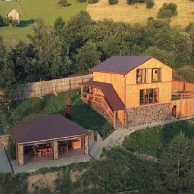 HotelTrembitaRakhiv13 km from the centreHot tubSaunaBBQNearby: Church of St. John Nepomuk 2.9 kmMt Terentyn 3.1 km12 trailsfrom 6 500 UAH per night
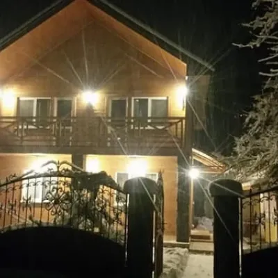 HotelPrivat Guest House ZarinSkiYasinya13 km from the centreBBQParkingWi‑FiNearby: Polonyna Menchul 4.5 kmMt Sheshul 7.4 km49 trailsfrom 1 290 UAH per night
Trails nearby
All trails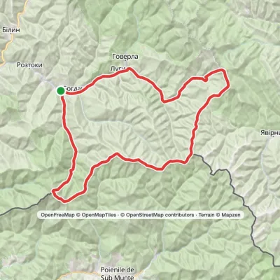 HardMulti-dayBohdan village loopvia Mount Pip Ivan Marmaroskyi, Mount Mika-Mare +2Elevation profile530–1 992 m79.4 kmascent 3 650 munder 1 km from the centre
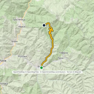 HardOne-dayMarkedBohdan village Rohnieska polonynaElevation profile551–1 600 m23.4 kmascent 1 065 m≈ 7.5 h walking1.4 km from the centre
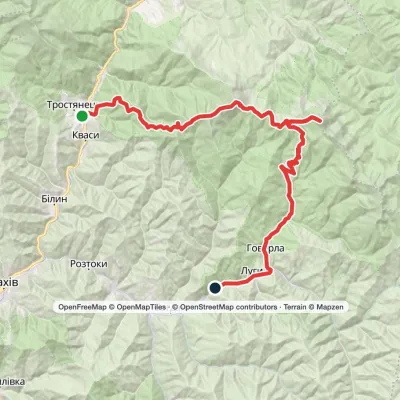 HardTwo-dayKvasy village to Luhy villagevia Mount Petros, Mount Hoverla +1Elevation profile535–2 061 m55.8 kmascent 2 061 m1.4 km from the centre
Peaks nearby
All peaks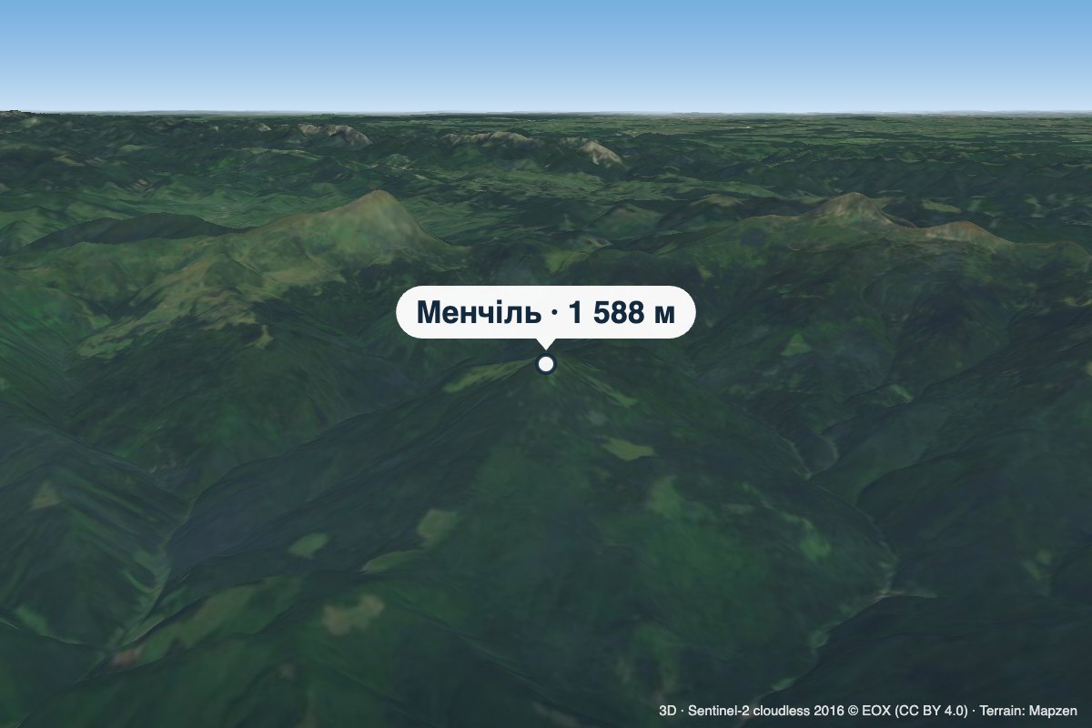 PeakMount MenchilLuhyaltitude 1 588 m8.4 km from the centreMenchil is a 1,588 m summit (other sources give 1,547 m) on the southern spur of Chornohora, in the Rakhiv district of Zakarpattia Oblast.
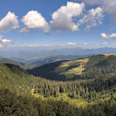 PeakMount MezhypotokyBohdanaltitude 1 713 m · Marmarosh range9.4 km from the centreMezhypotoky is a 1,713 m summit in the Ukrainian part of the Marmarosh Massif (the Hutsul Alps), in the Rakhiv district of Zakarpattia Oblast.
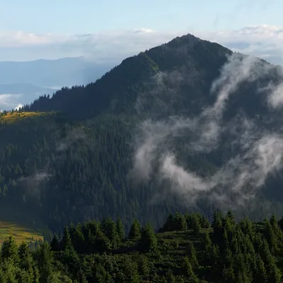 PeakMount Petros of MarmarosBohdanaltitude 1 781 m · Marmarosh range10 km from the centrePetros Marmaroskyi (other names - Pietrosul, Petrosul) is a peak in the Ukrainian Carpathians, 1781 meters high.
