Mount Mezhypotoky
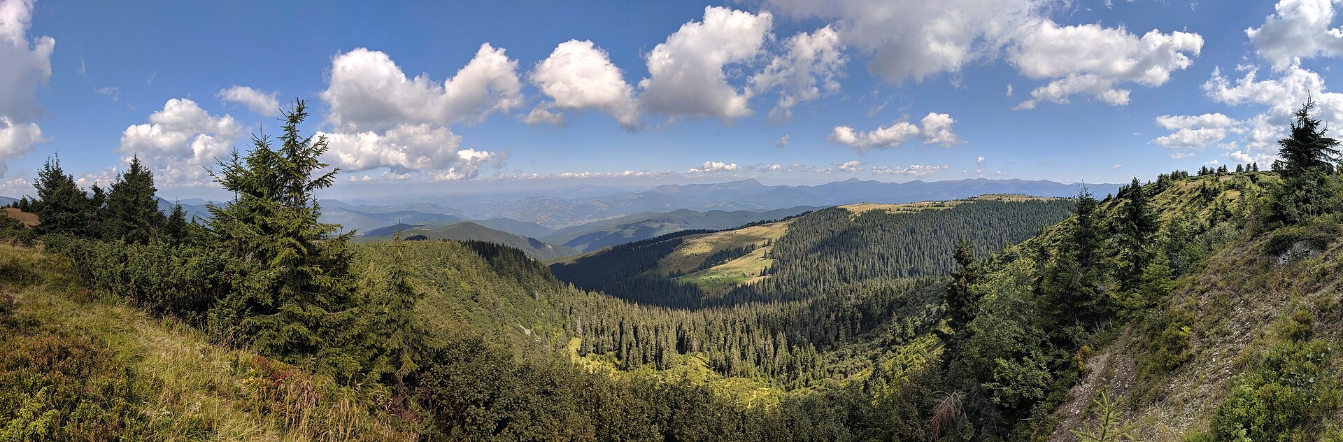
Mezhypotoky is a 1,713 m summit in the Ukrainian part of the Marmarosh Massif (the Hutsul Alps), in the Rakhiv district of Zakarpattia Oblast. It stands on the high crest between Pip Ivan Marmaroskyi and Neniska, far from any village: Breboia is about 9.5 km away, Bohdan and Luhy about 10 km.
The nearest neighbour is Dezeskul Hrun (1,676 m), about 1.1 km to the north-east; Maslokrut (1,556 m) rises 1.9 km to the south-west. To the east the crest climbs to Mala Nenieska (1,818 m) and Mika-Mare (1,815 m), both about 2.7 km away. The slopes around the summit are open mountain pastures; on one of them, the Mezhypotoky pasture, stands a shepherds’ hut.
How to get there
Mezhypotoky is one of the main junctions of Marmarosh traverses: 30 of our routes pass within 300 m of the summit, and the Transcarpathian Tourist Trail crosses the top itself. A short ridge section starts right here: Mount Mezhypotoky – Mika-Mare – Steavul – Stih – Radul pasture (17.6 km). From the Tysa valley, Dilove – Pip Ivan Marmaroskyi – Mika-Mare – Pip Ivan (Chornohora) – Bystrets (63.6 km) leads over the summit, and the longest crossing to Chornohora is Dilove – Pip Ivan Marmaroskyi – Pip Ivan (Chornohora) – Hoverla – Lazeshchyna (107.6 km). On the Bohdan side, about a kilometre from the summit, runs Bohdan – Dovha pasture (13.6 km, about 1,380 m of ascent), the shortest approach from the valley.
Water, shelter and safety
Our map shows several springs on the western and north-western slopes, roughly 850 m to 1.25 km from the summit (at 1,400–1,530 m); the condition of most is unknown and one is weak. A hut on the Mezhypotoky pasture stands about 1 km to the north, a working hut on the Dovha pasture about 1.5 km to the north-west, and another on the Nieneska pasture about 2.8 km to the east. About 1.2 km to the west there is a border guards’ house: this is a border zone, so carry your passport and follow the instructions of the border service. The crest is exposed to wind and thunderstorms, and the nearest village is more than 9 km away. The nearest summit with our forecast is the weather on Pip Ivan Marmaroskyi (about 10 km). In an emergency call 112 or 101 — contacts of the nearest units are on our mountain rescue page.
Interesting facts
- The Ukrainian–Romanian border runs over neighbouring Neniska Mala, whose southern slopes already belong to Romania.
- In 1990 the north-western part of the Marmarosh Massif, 8,990 ha in area, became part of the Carpathian Biosphere Reserve.
Photos: Viktar Palstsiuk, CC BY-SA 4.0 — Wikimedia Commons.
Location on the map
Comments
Places to stay nearby
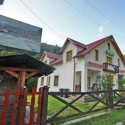 MotelMotel "Tys" Dilove18 km from Mount MezhypotokyBBQParkingWi‑FiNearby: Mt Zherban 9.9 kmPolonyna Lysycha 9.8 km37 trails
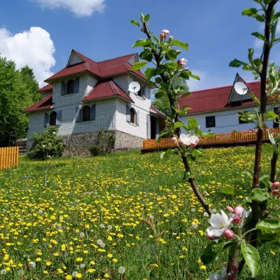 HotelHomestead "Rakhiv Play"19 km from Mount MezhypotokySaunaBBQKitchenNearby: Church of St. John Nepomuk 1.2 kmNyzhnyi Huk waterfall 6.1 km12 trails
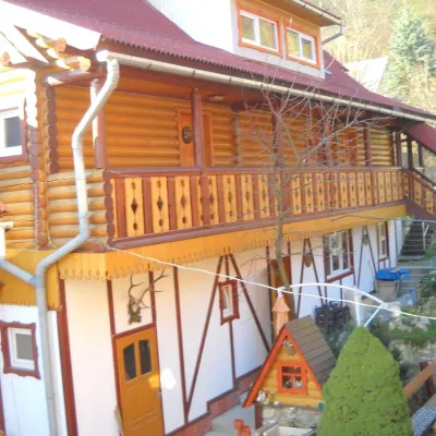 HotelHotel "Smerikova Khata" Rakhiv20 km from Mount MezhypotokyBBQKitchenParkingNearby: Church of St. John Nepomuk 300 mNyzhnyi Huk waterfall 7.0 km12 trails
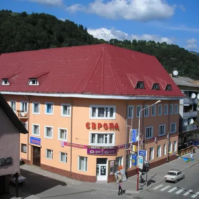 HotelHotel "Evropa" Rakhiv20 km from Mount MezhypotokySaunaParkingWi‑FiNearby: Church of St. John Nepomuk 300 mNyzhnyi Huk waterfall 7.3 km12 trails
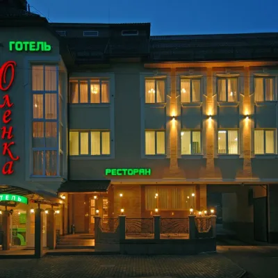 HotelHotel "Olenka" Rakhiv20 km from Mount MezhypotokyKitchenParkingWi‑FiNearby: Church of St. John Nepomuk 400 mNyzhnyi Huk waterfall 7.4 km12 trails
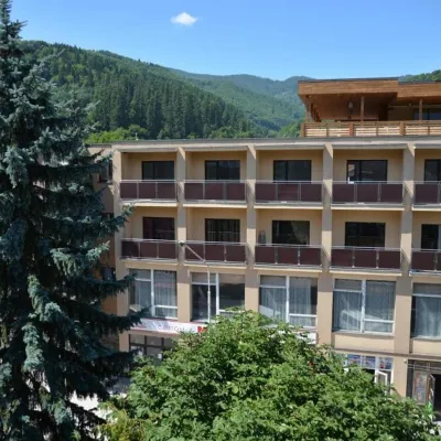 HotelHotel "Rakhiv"20 km from Mount MezhypotokyWi‑FiPetsTransferNearby: Church of St. John Nepomuk 500 mNyzhnyi Huk waterfall 7.5 km12 trails
Trails nearby
 HardMulti-dayMarkedTranscarpathian Tourist TrailElevation profile198–2 031 m393.2 kmascent 30 283 munder 1 km from Mount Mezhypotoky
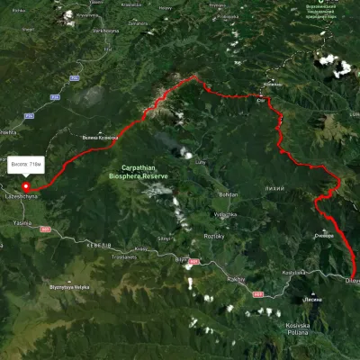 HardMulti-dayUnmarkedDilove village to Lazeshchyna villagevia Mount Pip Ivan Marmaroskyi, Mount Pip Ivan Chornohirskyi +1Elevation profile362–2 013 m107.6 kmascent 4 329 munder 1 km from Mount Mezhypotoky
 ModerateTwo-dayUnmarkedMount Mezhypotoky to Radul polonynavia Mount Mika-Mare, Mount Steavul +1Elevation profile1 522–1 848 m17.6 kmascent 561 m≈ 5.5 h walkingunder 1 km from Mount Mezhypotoky
Nearby attractions
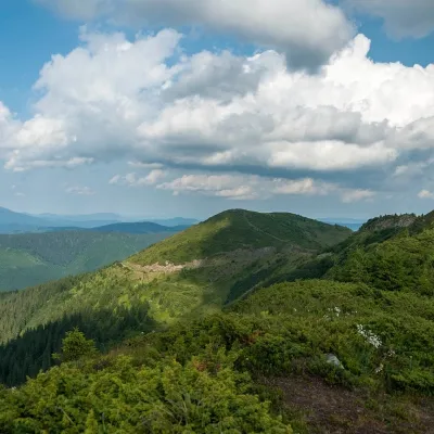 PeakMount Mala Nenieskaaltitude 1 818 m · Marmarosh range2.7 km from Mount Mezhypotoky30 trails to the topMala Neneska (Neniska Mala) is a peak in the Ukrainian Carpathians, lying in the Hutsul Alps of the Marmarosh mountain range.
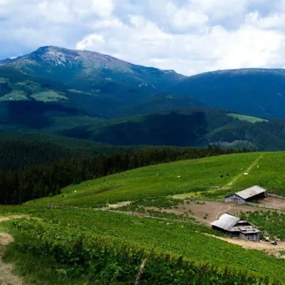 PeakMount Mika-Marealtitude 1 815 m · Marmarosh range2.7 km from Mount Mezhypotoky30 trails to the topMount Mika Mare (Neneska, Neniska - translated from the Hutsul dialect as "aunt") is one of the peaks of the Ukrainian Carpathians, 1815 meters high, located on the...
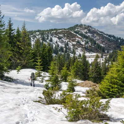 PeakMount Birsenscualtitude 1 670 m · Marmarosh range6 km from Mount Mezhypotoky30 trails to the topMount Byrsnesesku is a 1,670-meter peak in the Ukrainian Carpathians, located in the Rakhiv district of Zakarpattia region.