Mountain avens
About
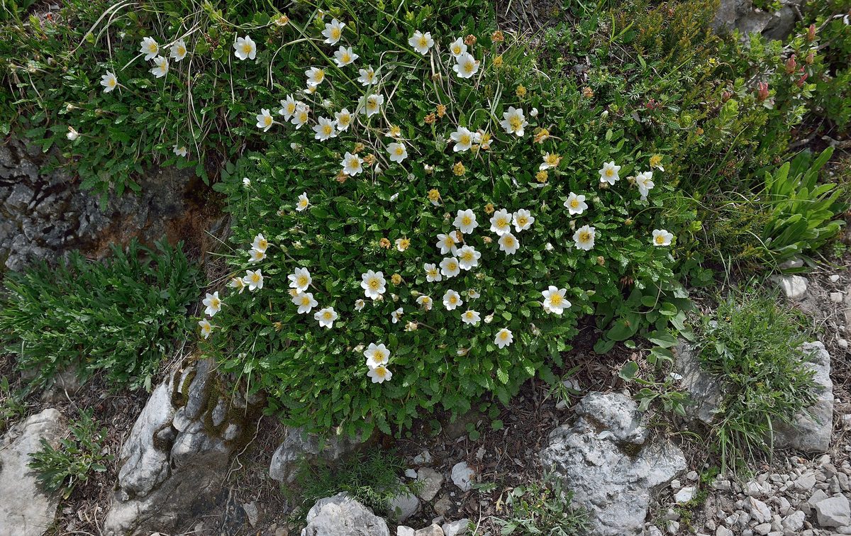
Dryas octopetala is a plant of the Arctic and high mountains. In Central Europe, it is a glacial relict: after the retreat of the glacier, it survived only high in the mountains, and its remains are so abundant in the deposits of that time that the cold phase at the end of the Ice Age was named in its honor — the 'Younger Dryas.'
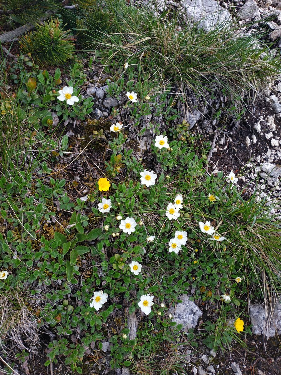
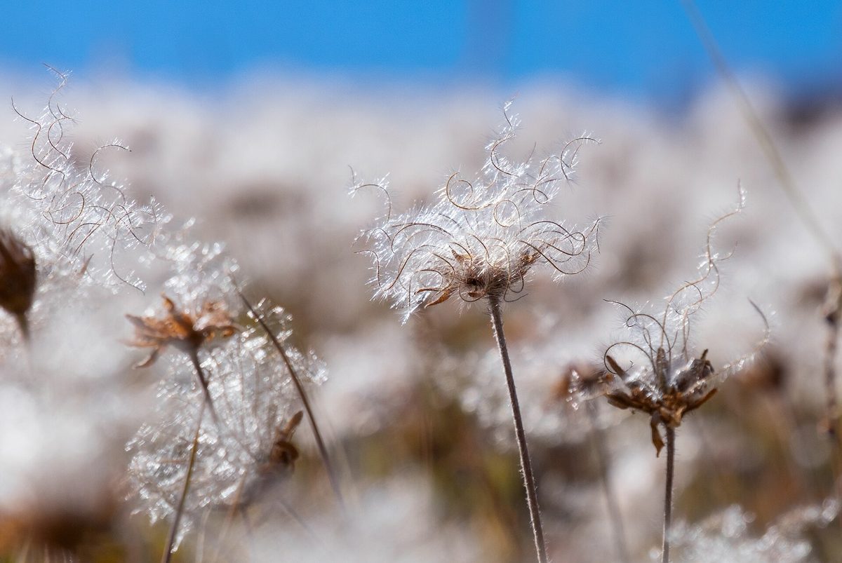
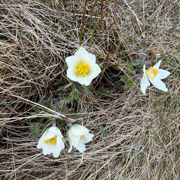
It is a tiny sprawling shrub 2–10 cm tall with woody stems that lie flat on the ground. The leaves are leathery, 1.5–3 cm, shiny on top, woolly underneath, with a serrated edge — truly resembling oak leaves, hence the name. The flowers are solitary, up to 4 cm in diameter, white, most often with eight petals. The fruits with feathery 'tails' form a fluffy head. The shrub lives a very long time — up to a hundred years.
In Poland, Dryas grows almost exclusively in the Tatra Mountains, where it is common and rises to 2150 m; another location is known in the Pieniny Mountains. Most of our records come from the Slovak mountains: the Little Fatra, the Bielanske, the Western, the Low, and the High Tatras, although it is also found in Romania. It grows on screes, rocky meadows, and among rocks, almost always on limestone. It blooms in June–July.
In Ukraine, Dryas is a great rarity: according to Ukrainian Wikipedia, it grows only on Blyznytsia in Świdowiec and in Chornohora and is listed in the Red Book of Ukraine with the status of 'endangered.' Here, it cannot be picked or dug up; we do not publish exact locations.
Where in the Carpathians

Orange — where naturalists recorded the species (GBIF, CC0/CC BY); a blank area does not mean it is absent.
- Countries
- Ukraine · Slovakia · Romania · Poland · Czechia
- Mountain ranges
- In other countries: 🇸🇰 Lesser Fatra, 🇸🇰 Belianske Tatras, 🇸🇰 Western Tatras, 🇸🇰 Low Tatras, 🇸🇰 High Tatras, 🇸🇰 Choč Mountains, 🇸🇰 Strážov Mountains, 🇸🇰 Slovak Ore Mountains, 🇷🇴 Bucegi Mountains, 🇷🇴 Făgăraș Mountains, 🇸🇰 Slovak Paradise, 🇷🇴 Piatra Craiului, 🇷🇴 Buzău Mountains, 🇵🇱 Pieniny
- Altitude belts
- Conifer forests (1200–1600 m) · Subalpine belt (1600–1900 m) · Alpine belt (above 1900 m)
When to see it
| Jan | Feb | Mar | Apr | May | Jun | Jul | Aug | Sep | Oct | Nov | Dec | |
|---|---|---|---|---|---|---|---|---|---|---|---|---|
| Flowering | ||||||||||||
| Fruit |
From naturalists’ observations in the Carpathians (iNaturalist, research grade): the darker the cell, the more often the species is seen that month.
Protection and rules
According to Ukrainian Wikipedia, listed in the Red Book of Ukraine (endangered). Picking and digging up is prohibited.
Admire, don’t pick: plants listed in the Red Data Book of Ukraine — and any plants in nature reserves and strictly protected zones of national parks — must not be collected.
FAQ
Does Dryas octopetala grow in Ukraine?
Yes, but very rarely: only on Blyznytsia (Świdowiec) and in Chornohora. The species is listed in the Red Book of Ukraine. It is easiest to see Dryas in the Tatra Mountains.
Why is Dryas called a relict?
It has survived in the mountains since the Ice Age. The cold phase at the end of the glaciation is named in its honor — the 'Younger Dryas.'
Comments
Travellers’ experience: reports, tips, questions.
No one has written here yet. Be the first — your experience helps others.
Similar species
Where to meet it
Peaks and meadows
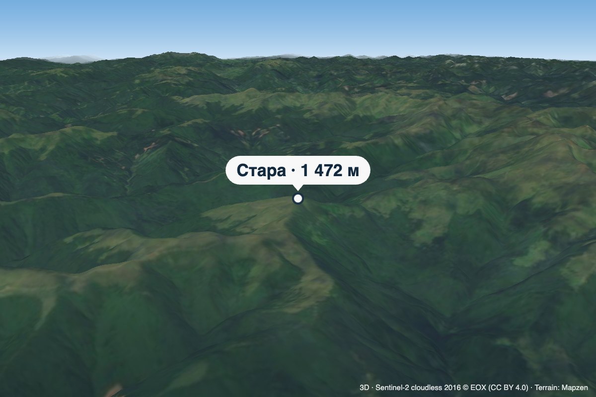 PeakMount StaraTrostyanetsaltitude 1 472 m · Svydovets rangeStara is a 1,472 m summit in the Svydovets range, in the Rakhiv district of Zakarpattia Oblast.
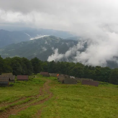 Mountain meadow1 350 mPolonyna BrailkaKvasyPolonyna Brailka (in some sources and on our site also Braivka) is a mountain pasture on the south-eastern slopes of...
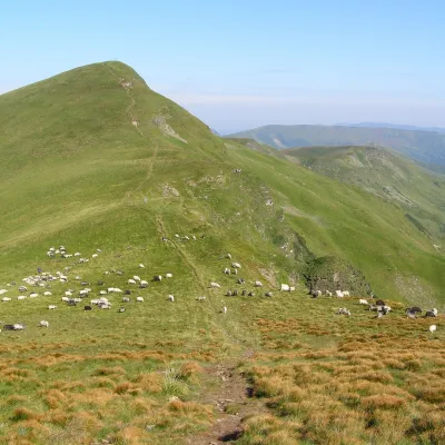 Mountain meadow1 780 mPolonyna BlyznytsiaKvasyBlyznytsia polonyna is the summit pastureland of the highest massif of Svydovets, in the Rakhiv district of Zakarpattia.
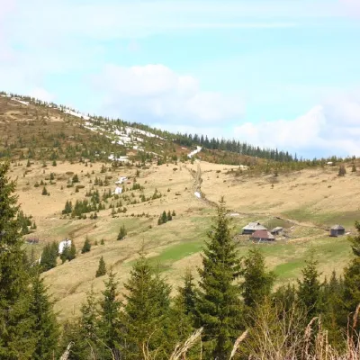 PeakMount PnivieHramotnealtitude 1 586 m · Hryniava Mountains range4 trails to the topPnivie (also known as Pnevi and Pnevie) is a 1586-meter peak in the Hryniavskyi mountain range of the Ukrainian...
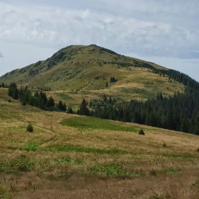 PeakMount ChivchynYavirnyk (Shybene)altitude 1 766 m · Chyvchyny range2 trails to the topChyvchyn is a peak in the Ukrainian Carpathians, located in the Chyvchyn Mountains (Chyvchyn massif), which occupy...
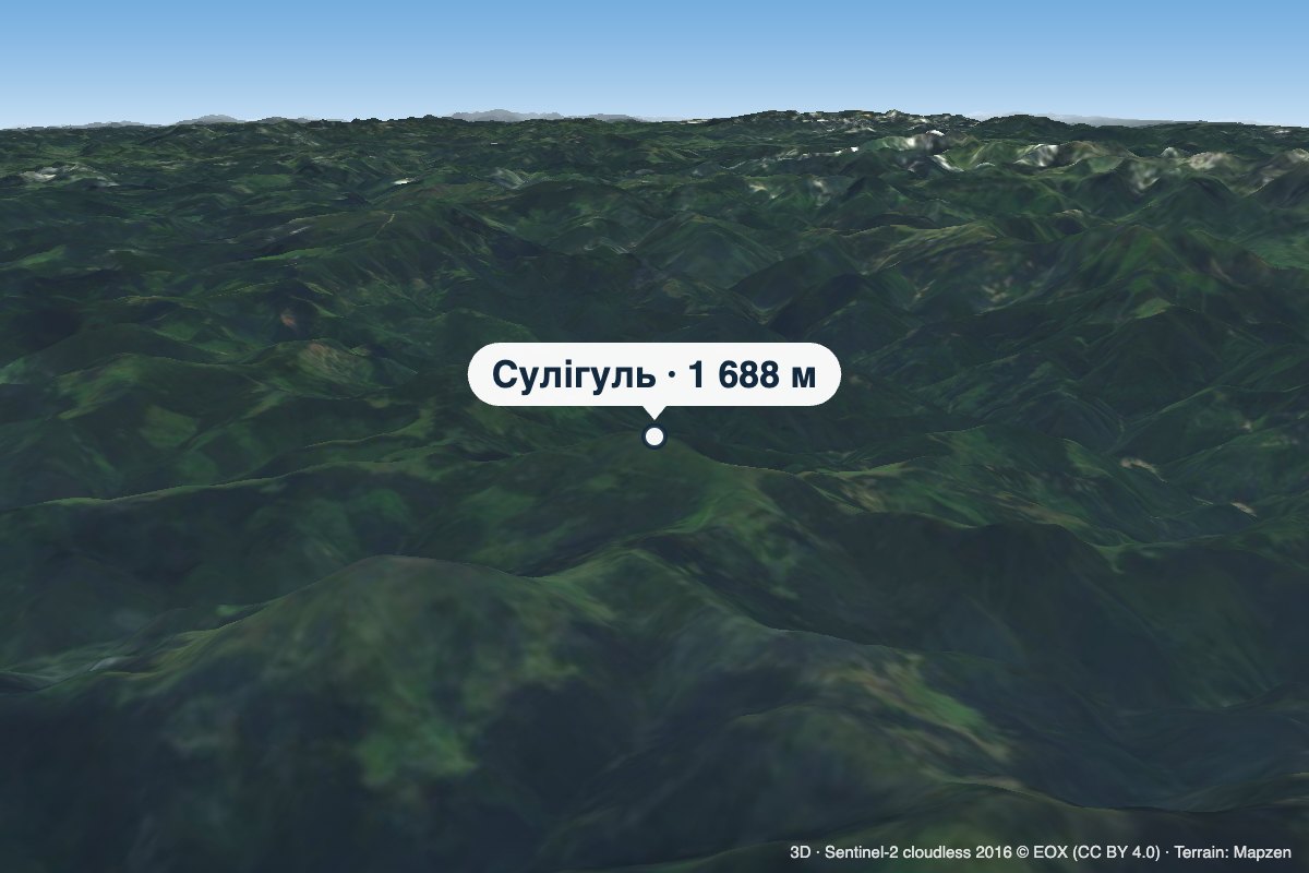 PeakMount SulihulKhutir Burkutaltitude 1 688 m · Chyvchyny rangeSulihul (also Sylyhul) is a 1,688 m peak (some sources give 1,689 m) on the main crest of the Chyvchyn Mountains, the...
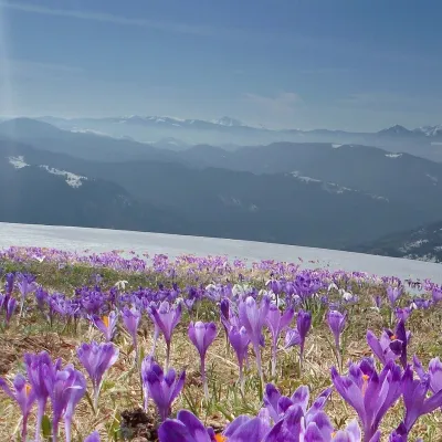 PeakMount Mala BlyznytsiaKvasyaltitude 1 566 m · Svydovets rangeMala Blyznytsia is a 1,566 m summit in the Svydovets range, in the Rakhiv district of Zakarpattia Oblast.
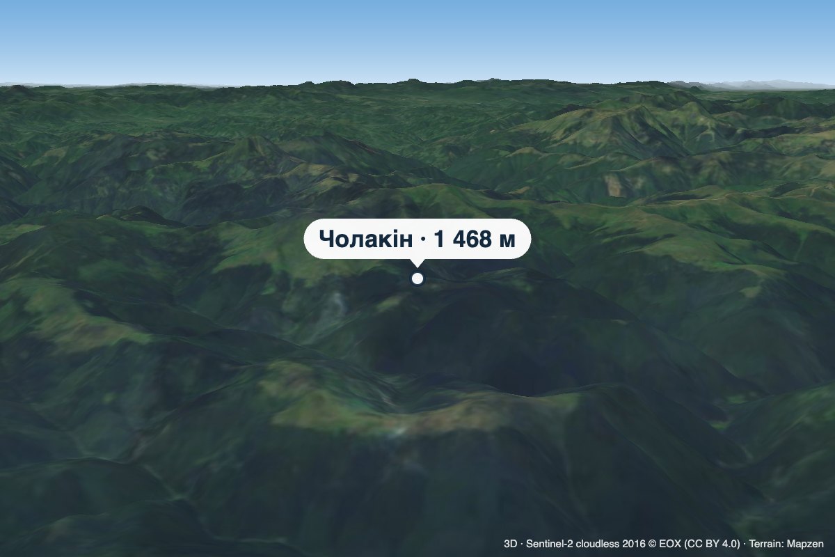 PeakMount CholakinKhutir Burkutaltitude 1 468 m · Chyvchyny rangeCholakin (also spelled Cholakyn) is a 1,468 m summit in the Chyvchyn Mountains, in the Verkhovyna district of Ivano...
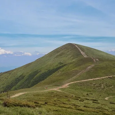 PeakMount Stih (Dragobrat)Yasinyaaltitude 1 704 m · Svydovets range43 trails to the topStih (1704 m; locals say "Stuh") is a peak in the north-eastern part of Svydovets, right above the Drahobrat resort.
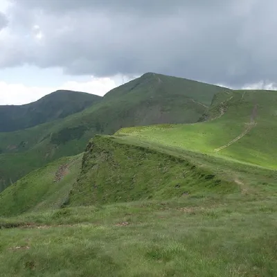 PeakMount BliznytsiaYasinyaaltitude 1 883 m · Svydovets range52 trails to the topBliznytsia (1883 m) is the highest peak of Svydovets, with two similar tops (1883 and 1872 m) above the Drahobrat...
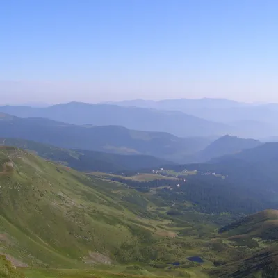 PeakMount Drahobrat (Zhandarm)Drahobrataltitude 1 763 m · Svydovets rangeDrahobrat, also called the First Zhandarm, is a 1,763 m mountain on the Urdu-Flavantuch ridge in the eastern part of...
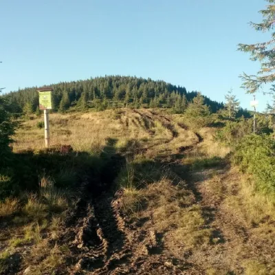 PeakMount LostunKhutir Burkutaltitude 1 654 m · Marmarosh range1 trail to the topMount Lostun is a 1,654-meter peak in the Ukrainian Carpathians, which is located on the territory of the Marmarosh...
Mountain ranges: In other countries: 🇸🇰 Lesser Fatra, 🇸🇰 Belianske Tatras, 🇸🇰 Western Tatras, 🇸🇰 Low Tatras, 🇸🇰 High Tatras, 🇸🇰 Choč Mountains, 🇸🇰 Strážov Mountains, 🇸🇰 Slovak Ore Mountains, 🇷🇴 Bucegi Mountains, 🇷🇴 Făgăraș Mountains, 🇸🇰 Slovak Paradise, 🇷🇴 Piatra Craiului, 🇷🇴 Buzău Mountains, 🇵🇱 Pieniny
Trails and peaks near which naturalists recorded the species (GBIF, iNaturalist), matched by altitude and habitat. Sightings are not guaranteed.
Sources
- Wikipedia (pl): Dębik ośmiopłatkowy
- Вікіпедія: Дріада восьмипелюсткова
- GBIF: Dryas octopetala
- Перелік видів рослин та грибів, що заносяться до Червоної книги України (наказ Міндовкілля від 15.02.2021 № 111)
GBIF · iNaturalist · Wikidata · Distribution data: GBIF.org (CC0 and CC BY records), iNaturalist; names and identifiers: Wikidata (CC0). Text: Karpaty.rocks, checked 11.11.2026.
