Common toad
About
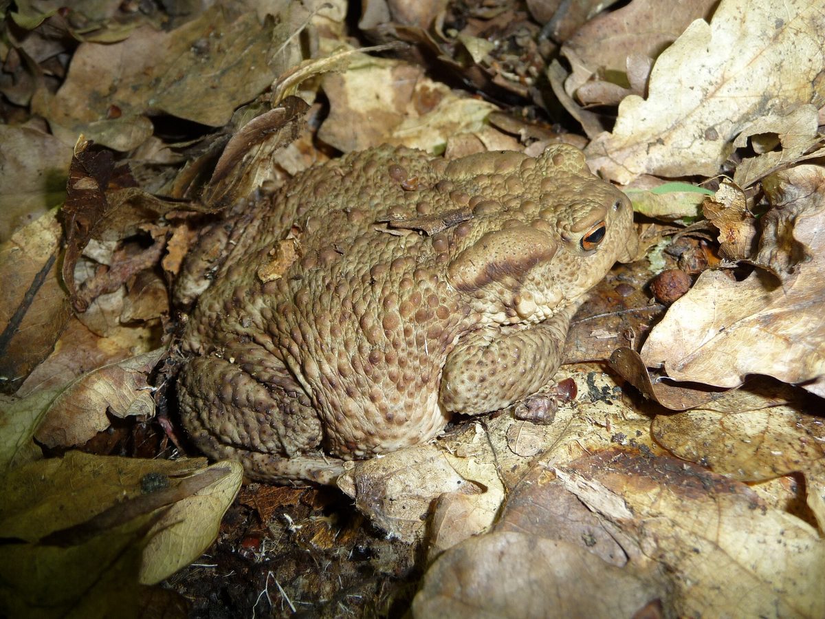
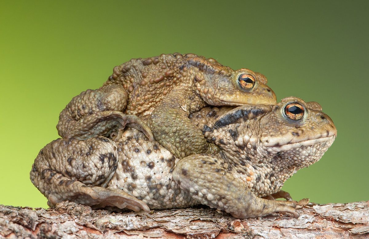
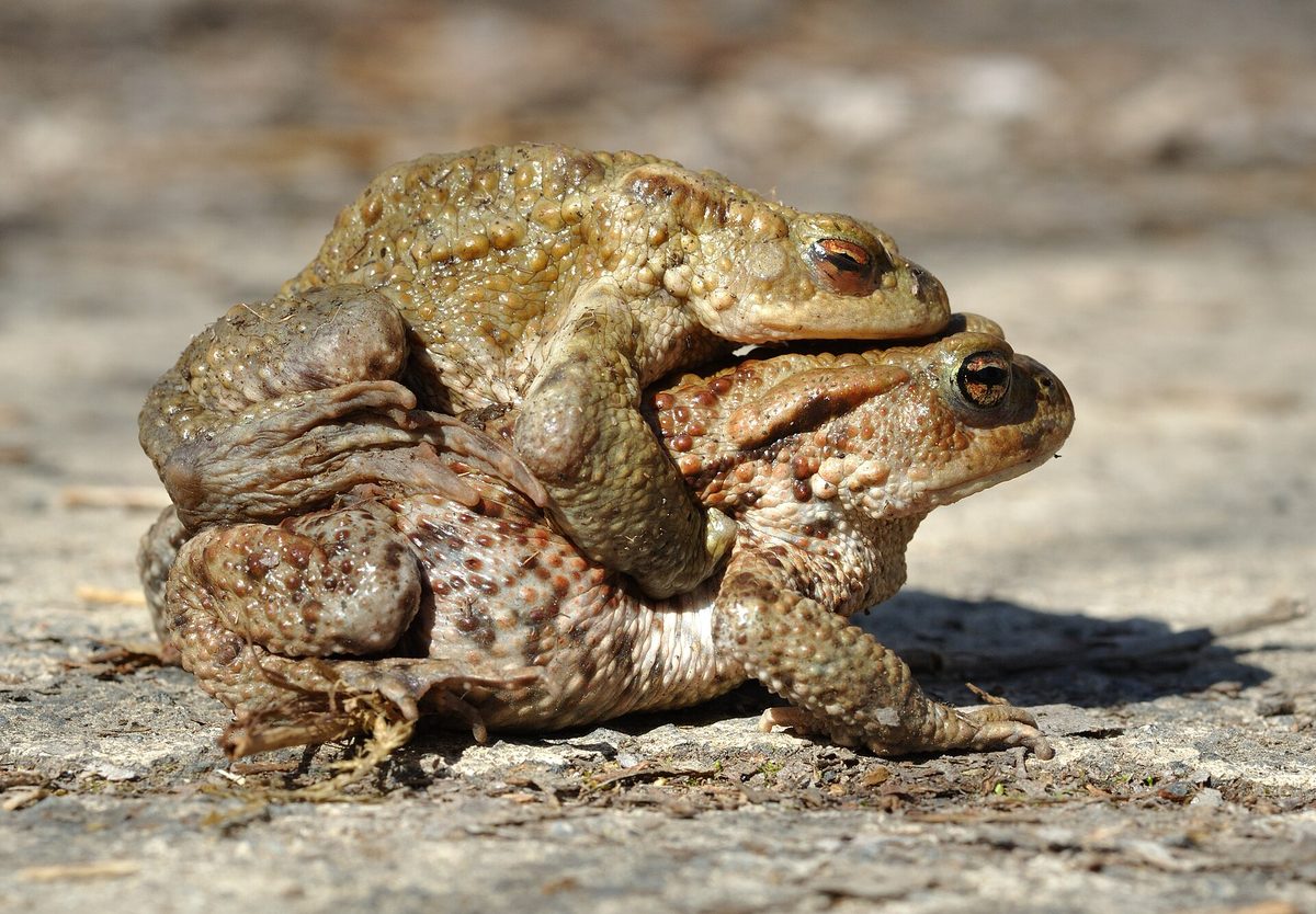
The Common toad, or gray toad, is our largest toad. In Ukraine, it lives in areas with forest landscapes — in coniferous, deciduous, and mixed forests, at forest edges, in parks and gardens — and in the Carpathians, it rises to an altitude of 2000 m. Adult toads reach 15, occasionally up to 20 cm. The skin is grayish-brown, dry, and covered with bumps resembling warts, with bulging eyes featuring a copper or golden iris and a horizontal pupil.
During the day, the toad hides, while at dusk and at night, it comes out to hunt for insects, slugs, worms, and other invertebrates. It moves slowly, waddling or making short jumps. Young toadlets, unlike adults, can be active during the day.
In spring, as soon as the water warms up to 5–8 °C, toads migrate en masse to spawning waters — shallow ponds and backwaters with still or slow-moving water. Most return to the place where they hatched, thus using the same locations year after year. In the spawning grounds of Transcarpathia, researchers counted up to 70 toads per 100 m of shoreline. The spawning period is short, lasting 2–3 weeks: the female lays eggs in two long black slimy strings, with a clutch containing up to 7–9 thousand eggs. In the mountain streams of the Carpathians, tadpoles do not have enough time to transform into toadlets during the summer and winter in the water.
Males arrive at the water bodies first and stay there for a week or longer, while females leave the water almost immediately after laying eggs. The egg strings, measuring 3–4.5 m in length, are wrapped around the stems of plants in shallow water. In the Carpathian populations, there are more males than females — about 61%. Toads begin to reproduce in their third to fourth year of life. Their toxic skin secret protects them from most predators, although grass snakes seem to be insensitive to it.
During spring migrations, many toads die on the roads, so in the spring, it is advisable to drive slowly and carefully near water bodies in the evening. The Common toad is not listed in the Red Book of Ukraine.
Where in the Carpathians

The map shows where naturalists recorded the species (GBIF, CC0 and CC BY records), not every place it lives. The Ukrainian Carpathians are less studied, so a blank area does not mean the species is absent.
- Countries
- Ukraine · Romania · Slovakia · Poland · Czechia · Hungary · Austria
- Mountain ranges
- Gorgany, Krasna Polonyna, Pokuttia-Bukovina Carpathians, Almăj and Locva Mountains, Rivna Polonyna, High Tatras, Low Tatras, Bieszczady, Skole Beskids, Watershed Ridge
- Altitude belts
- Foothills (below 600 m) · Beech forests (600–1200 m)
When to see it
| Jan | Feb | Mar | Apr | May | Jun | Jul | Aug | Sep | Oct | Nov | Dec | |
|---|---|---|---|---|---|---|---|---|---|---|---|---|
| Sightings |
From naturalists’ observations in the Carpathians (iNaturalist, research grade): the darker the cell, the more often the species is seen that month.
Safety
The glands on the toad's skin, especially the large bumps behind the eyes, secrete a toxic substance that deters predators. It is only dangerous to humans if it gets into the eyes or mouth: if you handle a toad, do not touch your face and wash your hands. Do not let dogs catch toads.
Protection and rules
Not listed in the Red Book of Ukraine.
FAQ
Is the toad poisonous?
Its skin glands secrete a toxic substance that deters predators. It only harms humans if it gets into the eyes or mouth, so wash your hands after contact with a toad.
Why do toads come out onto the roads in spring?
They migrate en masse to the ponds where they were born to lay eggs. This is when many toads are killed under wheels.
Similar species
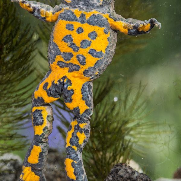
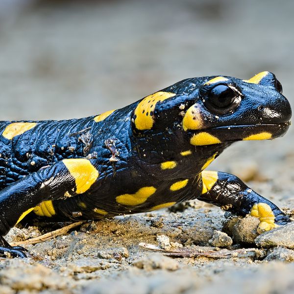
Where to meet it
Trails
 ModerateTwo-daySynevyrska Poliana village to Hycha polonynavia Svoboda villageElevation profile859–1 285 m16.8 kmascent 458 m≈ 5 h walking
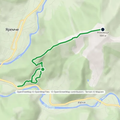 EasyOne-dayMarkedYaremche Mount MakovytsiaElevation profile555–984 m5.1 kmascent 460 m≈ 2 h walking
 ModerateOne-dayYaremche loopvia Dovbush Rocks, Mount MakovytsiaElevation profile552–984 m10.4 kmascent 494 m≈ 3.5 h walking
 ModerateOne-dayYaremche loopvia Dovbush Rocks, Mount MakovytsiaElevation profile552–984 m9.9 kmascent 487 m≈ 3.5 h walking
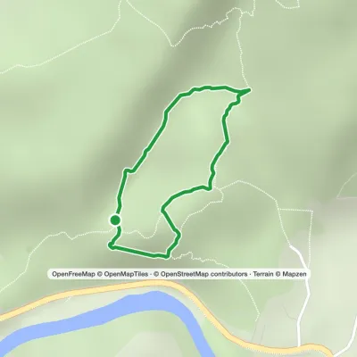 EasyOne-dayMarkedDovbush TrailElevation profile613–674 m1.4 kmascent 61 m≈ 30 min walking
 HardMulti-dayUst-Chorna village to Kolochava villagevia Mount Klymova, Mount Syhlianskyi +1Elevation profile514–1 568 m42.1 kmascent 1 611 m≈ 13.5 h walking
 HardMulti-daySynevyr village to Kvasy villagevia Mount Nehrovets, Mereshor village +3Elevation profile520–1 883 m100.3 kmascent 5 576 m
 HardTwo-dayLake Synevyr to Synevyr villagevia Mount Ozerna, Mount KamiankaElevation profile660–1 578 m19.4 kmascent 1 192 m≈ 7 h walking
 HardMulti-dayYaremche to Tatariv villagevia the Yavirnyk ridge, Zhenetskyi Huk Waterfall +4Elevation profile507–1 665 m46.8 kmascent 2 294 m
 HardTwo-dayPolianytsia village to Yaremchevia Mount Syniak, Mount YavirnykElevation profile522–1 665 m21.2 kmascent 1 198 m≈ 7.5 h walking
 HardMulti-dayMarkedKolochava village to Yasiniavia Krasna ridge, Ust-Chorna village +1Elevation profile528–1 762 m81.4 kmascent 3 385 m
 HardMulti-dayMarkedKolochava village to Ust-Chorna villagevia Mount Syhlianskyi, Mount Klymova +1Elevation profile520–1 568 m29.4 kmascent 1 675 m≈ 10.5 h walking
Waters and waterfalls
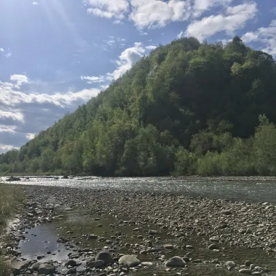 RiverBystrytsia Nadvirnianska RiverNadvirnaThe Bystrytsia Nadvirnianska rises on the northern slope of Mount Chorna Kleva in the Gorgany, at about 1,280 m.
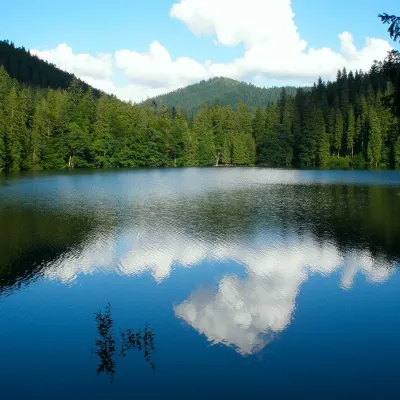 LakeSynevyr Lake Synevyrska PolyanaSynevyrska PolyanaLake Synevyr, located on the territory of the National Nature Park of the same name in Mizhhirya district of...
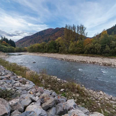 RiverTeresva RiverUst-ChornaThe Teresva forms in Ust-Chorna, where the Mokrianka and Brusturianka meet, and flows south through Dubove, Kalyny,...
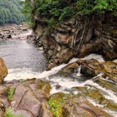 WaterfallProbiy waterfall, YaremcheYaremcheProbiy Waterfall is located in the heart of the Carpathian Mountains, in the city of Yaremche.
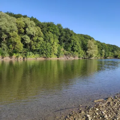 RiverBystrytsia Solotvynska RiverSolotvynThe Bystrytsia Solotvynska rises at about 1,390 m at the foot of Mala Syvulia and Bystryk, near the Peklo cliffs in...
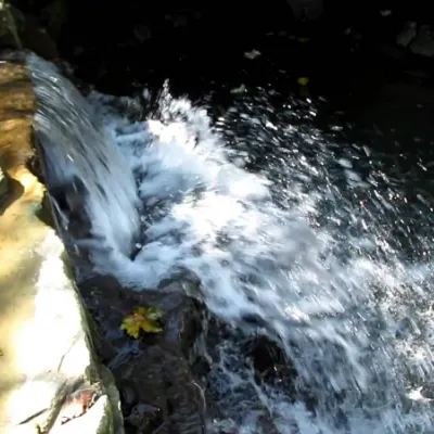 WaterfallBagrovetsky waterfallYaremcheBagrovetsky Waterfall is one of the most famous waterfalls in the Yaremche region, located in the city of Yaremche.
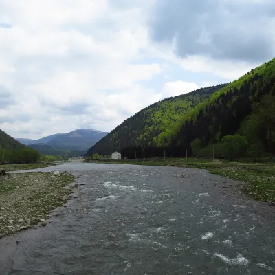 RiverTereblia RiverKolochavaThe Tereblia begins in the Inner Gorgany, where the Roztoka and Sloboda streams meet, and flows through Synevyrska...
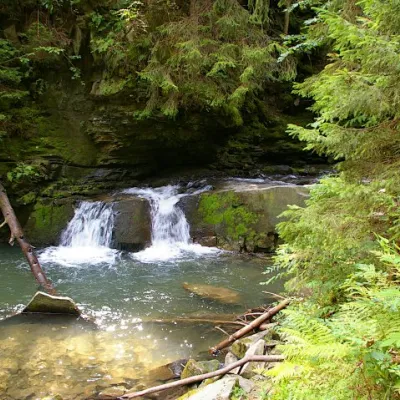 WaterfallWaterfall Maiden's Tears, YaremcheYaremcheMaiden's Tears is a waterfall in the Ukrainian Carpathians (Gorgany massif).
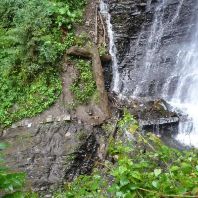 WaterfallZhenetsky Hook waterfallMykulychynZhenetskyi Huk is one of the most convenient Carpathian waterfalls for tourists, as it is accessible by a direct,...
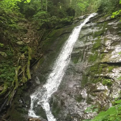 WaterfallNarinetskyi waterfall, MykulychynMykulychynNarinetskyi Waterfall is a waterfall in the Ukrainian Carpathians, on the Noretskyi Stream (a left tributary of the...
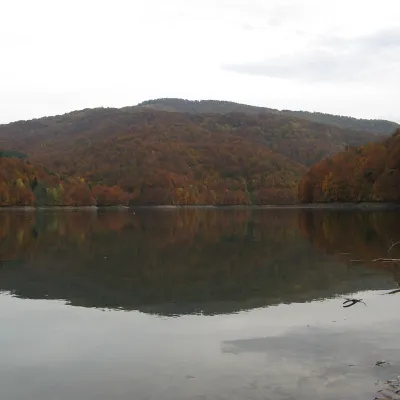 LakeVilshany ReservoirVilshanyThe Vilshany Reservoir, also called the Tereblia-Rika Reservoir, is a narrow mountain lake in the Tereblia valley...
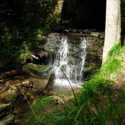 WaterfallLumshory waterfallsLumshoryLumshory waterfalls are a group of waterfalls in the Ukrainian Carpathians, a hydrological natural monument of local...
Mountain ranges: Gorgany, Krasna Polonyna, Pokuttia-Bukovina Carpathians, Rivna Polonyna, Bieszczady, Skole Beskids, Watershed Ridge, Vihorlat-Gutin Volcanic Ridge, Maramureș Mountains. In other countries: 🇷🇴 Almăj and Locva Mountains, 🇸🇰 High Tatras, 🇸🇰 Low Tatras, 🇸🇰 Greater Fatra, 🇷🇴 Codru-Moma and Zarand
Trails and peaks near which naturalists recorded the species (GBIF, iNaturalist), matched by altitude and habitat. Sightings are not guaranteed.
Sources
- Вікіпедія: Ропуха звичайна
- Wikipedia (en): Common toad
- Wikipedia (pl): Ropucha szara
- Перелік видів тварин, що заносяться до Червоної книги України (наказ Міндовкілля від 19.01.2021 № 29, зареєстровано в Мін'юсті 01.03.2021 за № 260/35882)
- Міндовкілля: текст переліку видів тварин Червоної книги України (PDF)
- GBIF: таксон і категорія МСОП
GBIF · iNaturalist · Wikidata · Distribution data: GBIF.org (CC0 and CC BY records), iNaturalist; names and identifiers: Wikidata (CC0). Text: Karpaty.rocks, checked 09.11.2026.
