Cheretiv
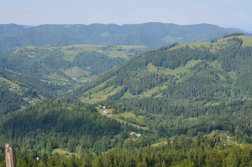
What to visit
Landmarks, museums and places of interest near Cheretiv.
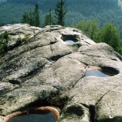 SightThe written stone2.9 km from the centre
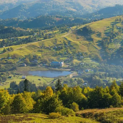 LakeLake Bukovets (Bukovetsky Pass)3.3 km from the centreThe large lake Bukivets is located on the border of Kosiv and Verkhovyna districts. There is a large lake in the center of the village of Bukivets, not far from the...
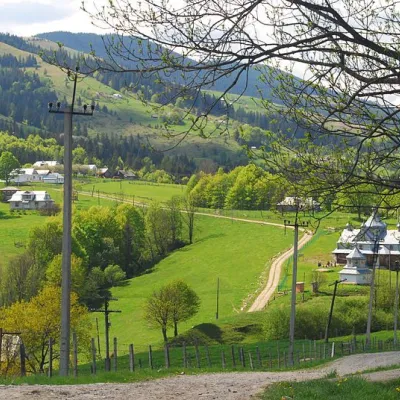 NatureBukovelian pass3.4 km from the centreIt is a place where many tourist routes converge and where you can take a break from the climbs.The Bukovetsky pass is very picturesque and in its landscape beauty is...
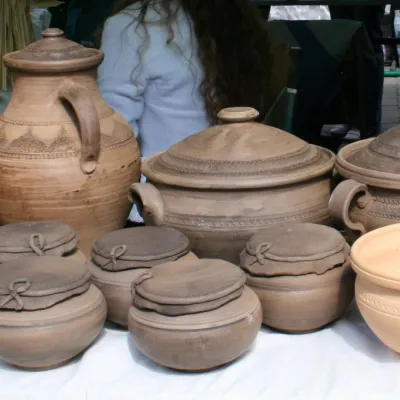 MuseumMuseum of Hutsul Folk Art in Yavoriv4.4 km from the centreThe Museum of Folk Art of Hutsulshchyna was established in the village of Yavoriv on 09.10.1961 and transferred to the Yavoriv Secondary School in 2004.
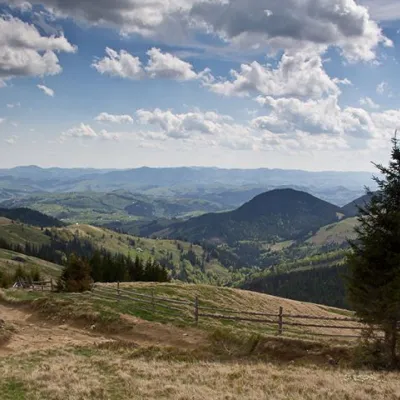 NatureVerkhovynskyi National Nature Park, Verkhniy Yaseniv4.7 km from the centreVerkhovyna NNP is the only park in the Ukrainian Carpathians where the oldest metamorphic formations, covered by the Paleozoic and Mesozoic sedimentary cover, come to...
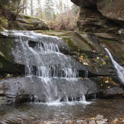 WaterfallBukovets-Bezulkivskyi Huk waterfall (Ternoshorsky)4.8 km from the centreTernoshorsky Huk is a waterfall in the Ukrainian Carpathians (in the Pokutsko-Bukovyna Carpathians). It is located on one of the right tributaries of the Bezulka River...
Where to stay
Hotels, guesthouses and cottages in and around Cheretiv.
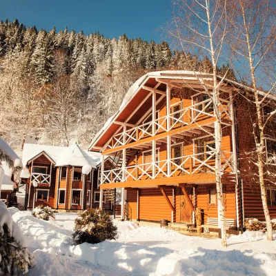 HomesteadHorytsvit5.2 km from the centreHot tubPoolSaunaNearby: Lake Bukovets 5.3 kmBukovelian pass 5.7 km2 trails
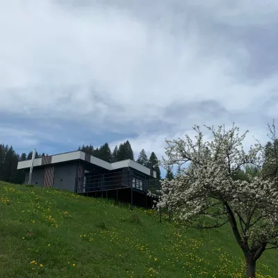 CottageRest in the Carpathians12 km from the centreNew modern cottage for a good rest and positive emotions.Nearby: Assumption Church 1.3 kmPolonyna Krinta 6.2 km12 trails
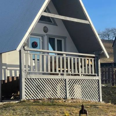 HomesteadHomestead "Bilosnizhny"14 km from the centreHomestead "Bilosnizhny" is located in the village of Iltsi, 250 meters from the main road, 8 km to the center of the village of Verkhovyna, near the Tatariv-Verkhovyna...Nearby: Assumption Church 2.8 kmMt Bila Kobyla 5.9 km17 trails
 CottageVilla Daroso14 km from the centreSPAKitchenNearby: Kosivskyi Huk Waterfall 600 mCity Banske Lake 1.2 km
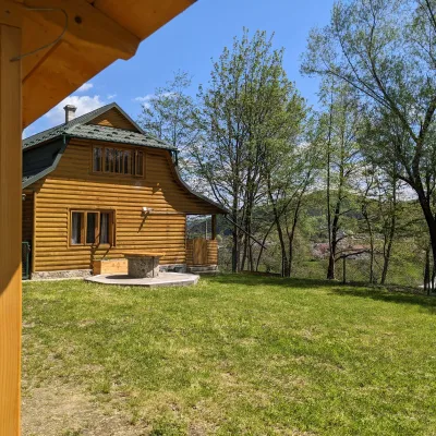 HomesteadSheshory Chalet15 km from the centreFireplaceKitchenParkingNearby: Polonyna Rosokhata 2.4 kmLake Lebedyn 4.3 km1 trail
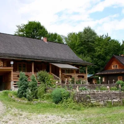 HomesteadStara Khata15 km from the centre⚜️Nestled between high mountains and the rushing Pystynka River, surrounded by clean Carpathian air, is the cozy Homestead "STARA KHATA"Nearby: Polonyna Rosokhata 2.3 kmDead Lake 2.0 km1 trail
Trails nearby
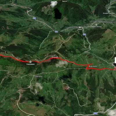 EasyOne-dayUnmarkedPysanyi Kamin Bukovets villageElevation profile774–1 207 m6.9 kmascent 127 m≈ 2 h walkingunder 1 km from the centre
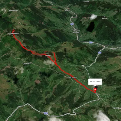 ModerateTwo-dayUnmarkedBukovets village loopvia Pysanyi KaminElevation profile845–1 261 m12.4 kmascent 823 m≈ 4.5 h walkingunder 1 km from the centre
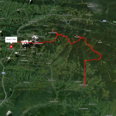 HardMulti-dayUnmarkedKosmach village to Bukovets villagevia Mount Rotylo, Mount Hrehit +1Elevation profile612–1 461 m40.2 kmascent 1 739 m≈ 13.5 h walking4.7 km from the centre
Peaks nearby
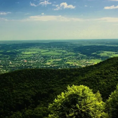 PeakMount Mykhalkova (Kosiv)altitude 812 m12 km from the centreMount Mykhalkova (Mykhalkiv), with a height of 812 meters, is part of the Pokuttya Carpathians. The highest point of the city of Kosiv and the village of Horod.
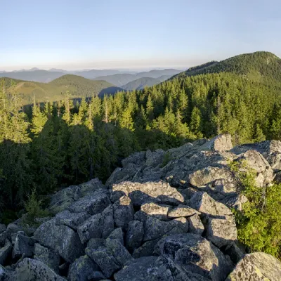 PeakMount Bila Kobylaaltitude 1 477 m · Pokuttia-Bukovyna Carpathians range13 km from the centre5 trails to the topMount Bila Kobyla is a peak in the Ukrainian Carpathians, which is located within the Pokutsko-Bukovyna mountain range.
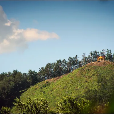 PeakMount Ostry (Ostra)altitude 584 m13 km from the centreThe mountain offers wonderful views of the entire Kosiv. The descent is steep, and autumn is magical here.