Bieszczady
Bieszczady · Bukovské vrchy · Бещади
The Bieszczady are the borderland of Poland, Slovakia and Ukraine, with treeless mountain meadows: Połonina Caryńska, Połonina Wetlińska, Wielka Rawka and Tarnica. Bieszczady National Park and Uzhanskyi National Park protect primeval beech forests with bears, wolves and bison. The red Main Beskid Trail ends here, in Wołosate.
- Elevation
- 236–1,405 m
- Highest summit
- Pikui, 1,405 m
- Area
- ≈ 1,838 km²
- Countries
- Poland, Slovakia, Ukraine
- Part of
- Outer Eastern Carpathians
On the map
Waymarked trails · 25
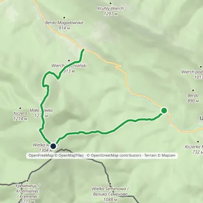 ModerateOne-dayMarkedWielka Rawka Tourist TrailElevation profile685–1 303 m8.8 kmascent 1 126 m≈ 4.5 h walking
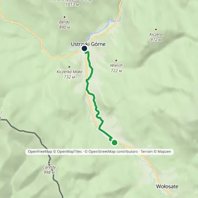 EasyOne-dayMarkedNature Trail "Salamandra" Ustrzyki Górne WołosateElevation profile649–703 m4 kmascent 8 m≈ 1 h walking
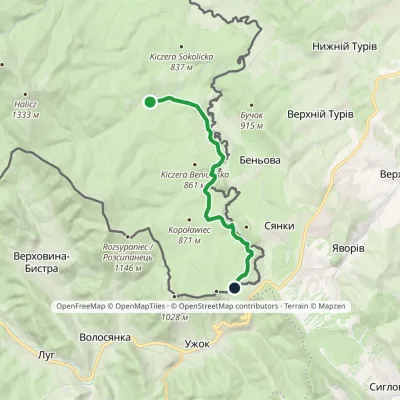 ModerateOne-dayMarkedNature and History Trail "In the Upper San Valley"Elevation profile728–904 m11.8 kmascent 257 m≈ 3.5 h walking
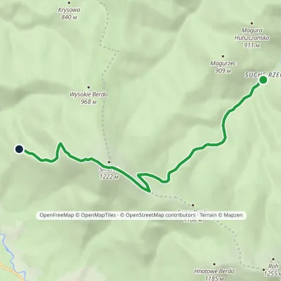 EasyOne-dayMarkedNature trail Suche Rzeki Smerek «Silver Fir»Elevation profile612–1 206 m8 kmascent 587 m≈ 3 h walking
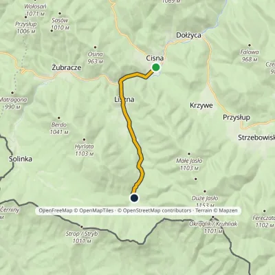 EasyOne-dayMarkedCisna Roztoki GórneElevation profile559–687 m8.1 kmascent 141 m≈ 2.5 h walking
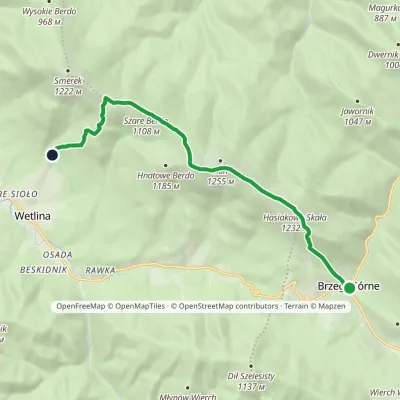 ModerateOne-dayMarkedNature trail «Globeflower» on Połonina WetlińskaElevation profile735–1 248 m10.3 kmascent 594 m≈ 4 h walking
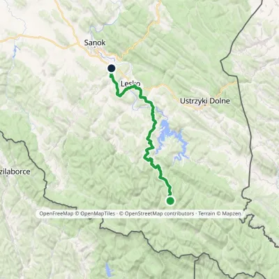 HardMulti-dayMarkedKrysowa ZagórzElevation profile306–935 m60.8 kmascent 1 503 m
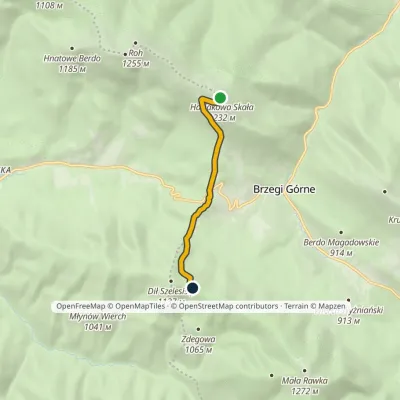 EasyOne-dayMarkedDział Chatka Puchatkavia Wyżna PassElevation profile869–1 223 m4.7 kmascent 240 m≈ 1.5 h walking
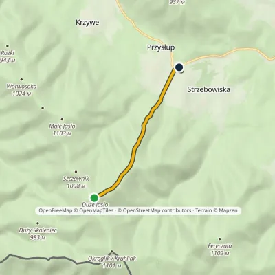 EasyOne-dayMarkedJasło Przysłup Pass (railway station)Elevation profile671–1 152 m3.9 km≈ 60 min walking
© EEA (CC BY 4.0) · GMBA Mountain Inventory v2 (CC BY 4.0) · © OpenStreetMap contributors (ODbL)
