Vysoké Tatry
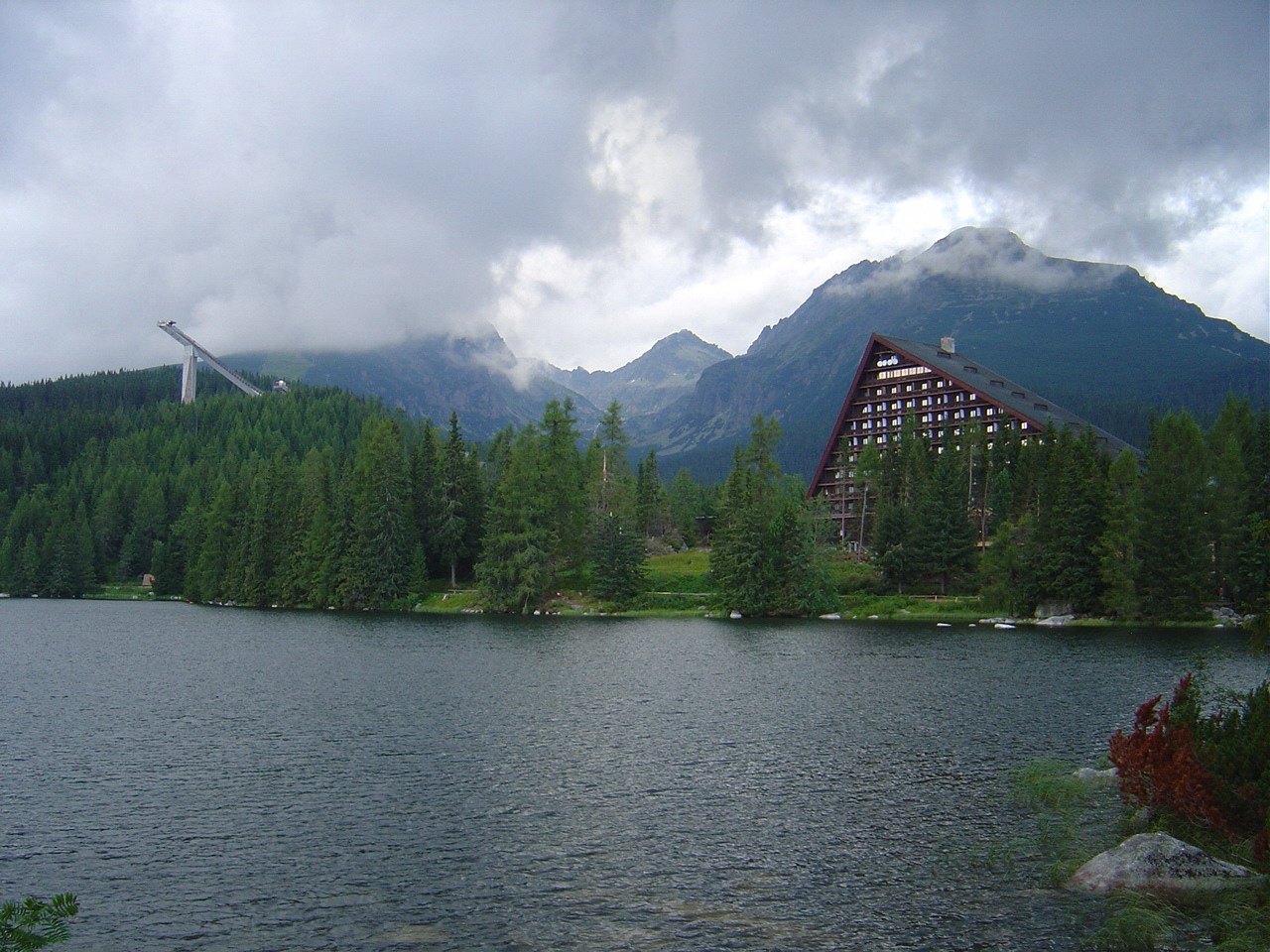
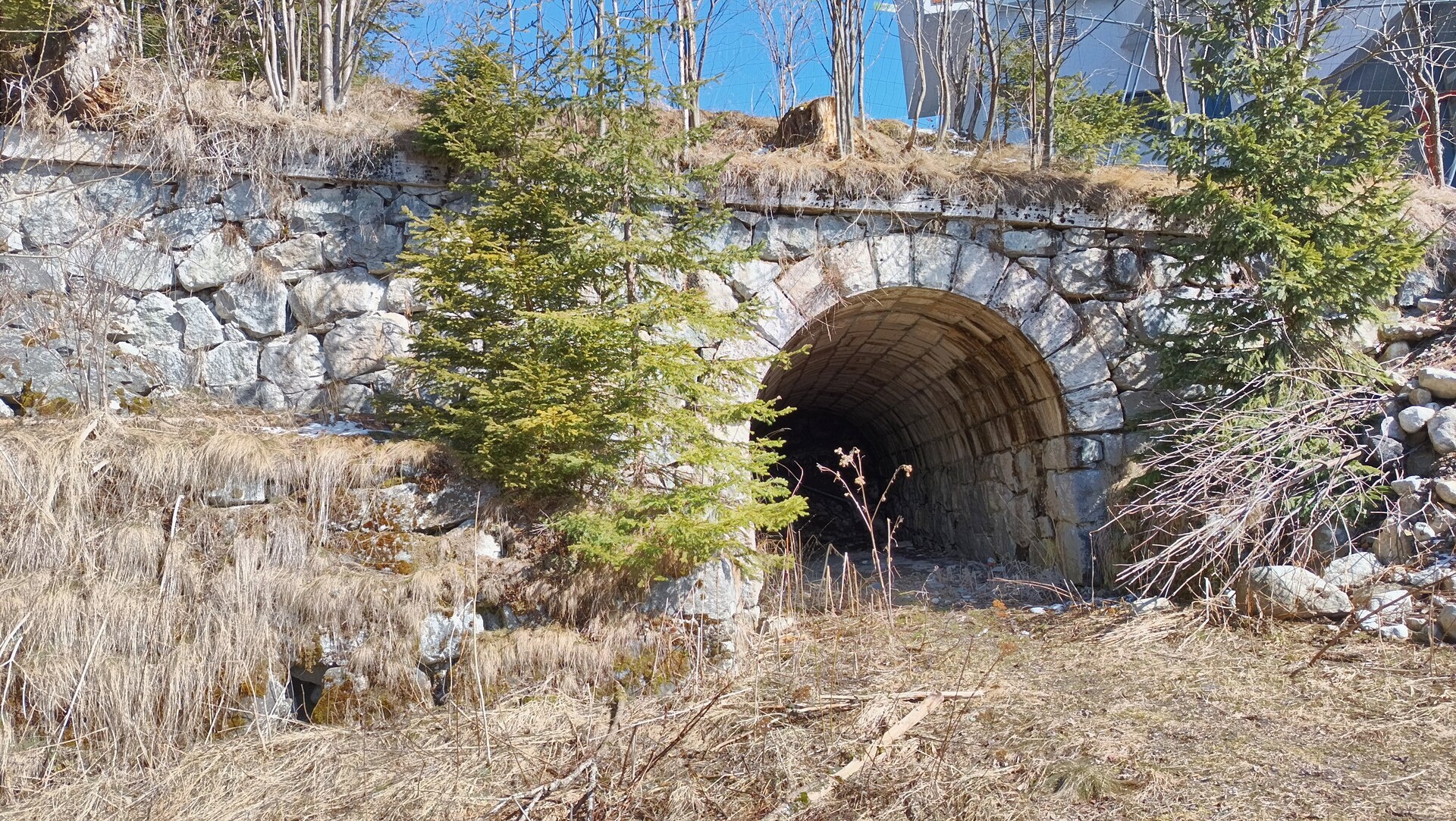
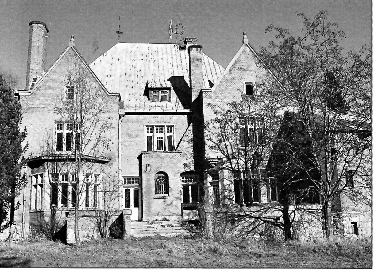
Photos: No machine-readable author provided. Kristo~commonswiki assumed (based on copyright claims)., CC BY-SA 3.0 (Wikimedia Commons); Fry72 (Karel Frydrýšek), CC BY-SA 4.0 (Wikimedia Commons); neznámy - skener, Public domain (Wikimedia Commons)
Vysoké Tatry is a town in Slovakia, located in the Poprad District of the Prešov Region at an elevation of 966 m. The town covers a significant part of the High Tatras mountain range and consists of three cadastral areas: Starý Smokovec, Štrbské Pleso, and Tatranská Lomnica, which together include 15 settlements. The administrative center is Starý Smokovec. The town's origins date back to 1793, with its current structure formed in the 1990s.
Vysoké Tatry is known as a center for tourism, winter sports, resorts, and sanatoriums. The area features hotels and attractions such as the TANAP Museum in Tatranská Lomnica, Belianska Cave, Popradské pleso, Skalnaté pleso with its observatory, Štrbské pleso, and the Studený potok waterfalls. There are numerous hiking trails, including the Tatranská Magistrála, routes to Kriváň and Gerlachovský štít, and mountain huts like Rainerova chata, Téryho chata, and the hut at Popradské pleso. The region also offers climate resorts (Nový Smokovec, Polianka, Kotlina) and the AquaCity Poprad aquapark.
The most convenient way to reach Vysoké Tatry from Ukraine is via the Uzhhorod – Vyšné Nemecké border crossing, then by road through Košice and the D1 motorway to Poprad. An e-vignette is required for the motorway.
Sources: Wikipedia, Wikidata, OpenStreetMap, Karpaty.rocks data. More on Wikipedia
What's nearby
Trails nearby
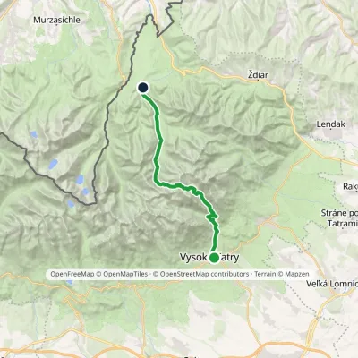
All trails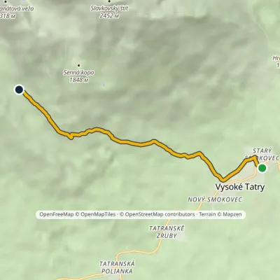 EasyOne-dayMarkedStarý Smokovec, TEŽ station Velická PoľanaElevation profile996–1 570 m5.6 kmascent 574 m≈ 2.5 h walkingunder 1 km from the centre
 HardTwo-dayMarkedStary Smokowiec Tatrzańska JaworinaElevation profile996–2 342 m22.4 kmascent 1 382 m≈ 8.5 h walkingunder 1 km from the centre
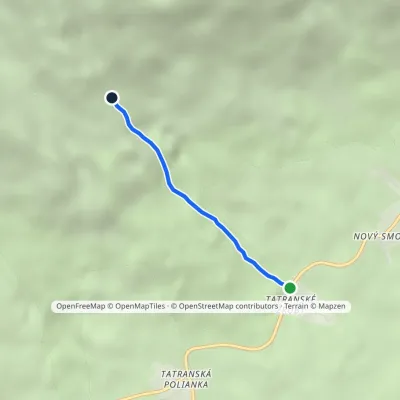 EasyOne-dayMarkedTatranské zruby Junction above ZrubyElevation profile1 006–1 394 m2.3 kmascent 388 m≈ 1.5 h walking1.4 km from the centre
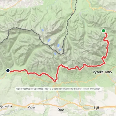 HardMulti-dayMarkedTatranská magistrála (Tatra Highway): Podbanské Veľké Biele plesoElevation profile929–2 043 m50.1 kmascent 1 639 m2 km from the centre
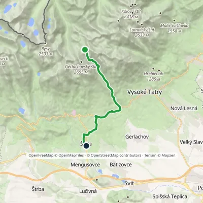 HardOne-dayMarkedNižné Hágy Junction below Poľský hrebeňElevation profile849–2 195 m14.6 kmascent 95 m≈ 4 h walking2.6 km from the centre
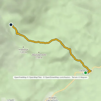 EasyOne-dayMarkedTatranská Lesná Waterfalls of Studený StreamElevation profile922–1 237 m3.9 kmascent 315 m≈ 1.5 h walking2.9 km from the centre
Peaks nearby
All peaks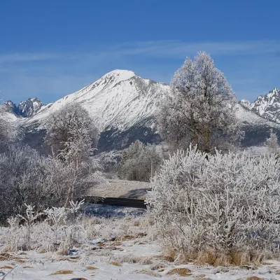 PeakSlavkovský štítStarý Smokovecaltitude 2 452 m4.1 km from the centreSlavkovský štít (Polish Sławkowski Szczyt, German Schlagendorfer Spitze) is a broad, massive peak 2452 m high in the High Tatras of Slovakia.
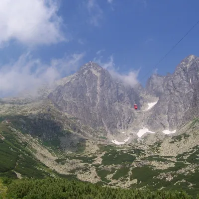 PeakLomnický štítTatranská Lomnicaaltitude 2 634 m6.6 km from the centreLomnický štít (Polish Łomnica, German Lomnitzer Spitze) is one of the highest and most visited peaks of the High Tatras.
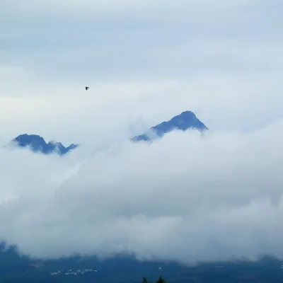 PeakGerlachovský štítVyšné Hágyaltitude 2 655 m6.8 km from the centreGerlachovský štít (colloquially Gerlach; Polish Gerlach, German Gerlsdorfer Spitze) is the highest peak of the High Tatras, of Slovakia and of the entire Carpathians.
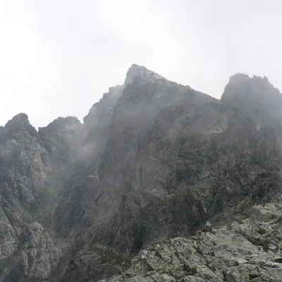 PeakVýchodná VysokáNová Poliankaaltitude 2 429 m6.8 km from the centreVýchodná Vysoká ("Eastern High One"; Polish Mała Wysoka) is a pyramid-shaped peak 2429 m high (more precisely 2428.6 m) on the main ridge of the High Tatras in Slovakia.
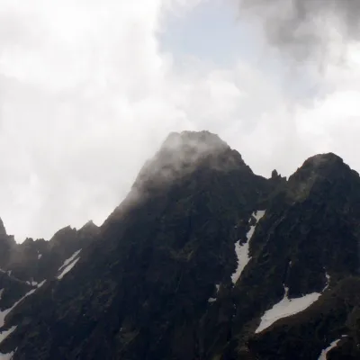 PeakPyšný štítStarý Smokovecaltitude 2 621 m6.9 km from the centrePyšný štít (Polish Durny Szczyt, German Schwalbenturm) is a rocky High Tatra summit of 2,621 m — according to Slovak and Polish sources the fourth highest mountain of...
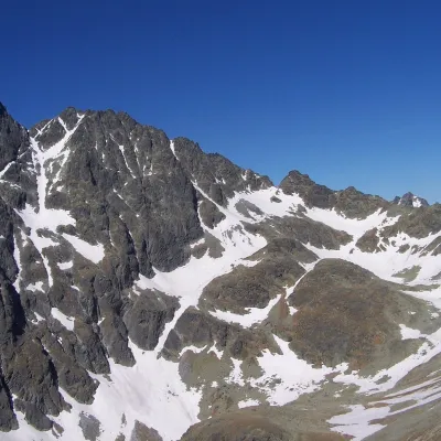 PeakZadný GerlachVyšné Hágyaltitude 2 616 m7.1 km from the centreZadný Gerlach (officially Zadný Gerlachovský štít, “Rear Gerlach”; Polish Zadni Gerlach) is a mighty 2,616 m junction summit on the main ridge of the High Tatras (2...
What to visit
All Water parks & thermal poolsClimatic spas of the High Tatras: Nový Smokovec, Polianka, KotlinaVysoké Tatryunder 1 km from the centreNový Smokovec is the best known of the climatic spas of the High Tatras. It grew up in a spruce forest at about 1010 m, south-west of Starý Smokovec, with which it...
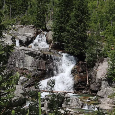 WaterfallStudený potok Waterfalls and HrebienokStarý Smokovec3.3 km from the centreThe Studený potok waterfalls (Vodopády Studeného potoka), known in Polish literature as the Zimna Woda waterfalls, are one of the oldest tourist attractions of the...
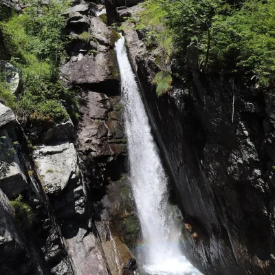 WaterfallObrovský vodopád (Giant Waterfall)Starý Smokovec3.9 km from the centreObrovský vodopád (Polish Wodospad Olbrzymi, German Riesenwasserfall – the "Giant Waterfall") is one of the most powerful and photogenic waterfalls of the Slovak High...
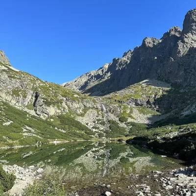 LakeVelické pleso and Sliezsky domNová Polianka5.1 km from the centreVelické pleso is the largest lake of the Velická valley in the High Tatras, at 1,663 m, at the foot of Gerlachovský štít — the highest peak of the Tatras.
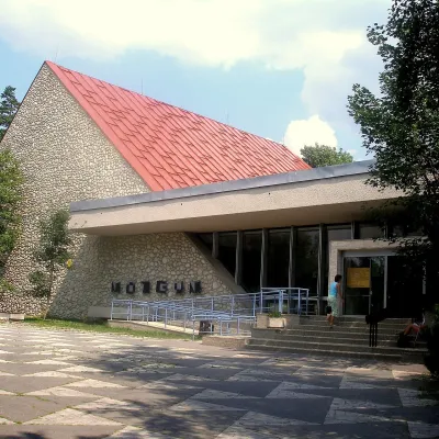 MuseumTANAP Museum in Tatranská LomnicaTatranská Lomnica6 km from the centreThe Tatra National Park Museum (Múzeum TANAP-u) in Tatranská Lomnica is the best place to understand in an hour or two how the Tatras work: from geology and forests to...
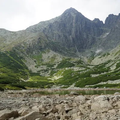 LakeSkalnaté pleso, Observatory and Lomnický štít Cable CarTatranská Lomnica6 km from the centreSkalnaté pleso is a small moraine lake in the lowest cirque of the Skalnatá valley below Lomnický štít, at about 1,751–1,754 m.
Craft nearby
All craft places Water parks & thermal poolsAquaCity Poprad water parkPoprad11 km from the centreAquaCity Poprad is a large year-round water park and wellness complex in the town of Poprad, a few minutes from the centre; according to the complex, the High Tatras...
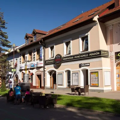 Craft beer & breweriesMinipivovar TATRAS, PopradPoprad11 km from the centreMinipivovar TATRAS is a brewpub on Poprad’s main square, Námestie sv. Egídia, housed in a building with a long brewing history.
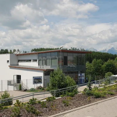 Water parks & thermal poolsThermal Park VrbovVrbov16 km from the centreThermal Park Vrbov is one of the best-known thermal baths in the Spiš region, on the southern edge of the village of Vrbov, about 6 km (as the crow flies) from...
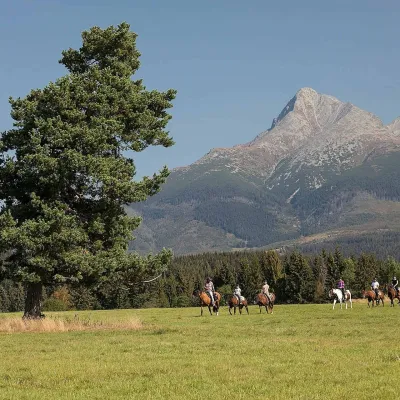 Horse ridingKone vo Východnej: horse rides below the TatrasVýchodná22 km from the centreKone vo Východnej (“Horses in Východná”) is a small family horse farm on the meadows above the village of Východná in upper Liptov, with a sweeping view of the High...
 Horse ridingRanč u Trapera, Podlesok: Horse Rides in the Slovak ParadiseHrabušice22 km from the centreA little away from the main tourist bustle, below the forest, stands the family-run Ranč u Trapera, run by the Salaj family.
 Eco farmsFarma Východná — organic farm below the TatrasVýchodná25 km from the centreFarma Východná is the highest-lying organic farm in Liptov, at 930 m in the village of Východná right below the Tatras.
Spas and thermal pools nearby
Water parks & thermal poolsClimatic spas of the High Tatras: Nový Smokovec, Polianka, KotlinaVysoké Tatryunder 1 km from the centreNový Smokovec is the best known of the climatic spas of the High Tatras. It grew up in a spruce forest at about 1010 m, south-west of Starý Smokovec, with which it...Water parks & thermal poolsAquaCity Poprad water parkPoprad11 km from the centreAquaCity Poprad is a large year-round water park and wellness complex in the town of Poprad, a few minutes from the centre; according to the complex, the High Tatras...Water parks & thermal poolsThermal Park VrbovVrbov16 km from the centreThermal Park Vrbov is one of the best-known thermal baths in the Spiš region, on the southern edge of the village of Vrbov, about 6 km (as the crow flies) from...Huts, shelters and springs nearby


Getting there from Ukraine
Border crossings
- Uzhhorod – Vyšné Nemecké — road, 24/7
- Malyi Bereznyi – Ubľa — road, 24/7 For cars and buses; pedestrians not confirmed by the Ukrainian border service, lorries up to 3.5 t.
- Mali Selmentsi – Veľké Slemence (pedestrian) — pedestrian, 09:00–21:00 Kyiv time Pedestrians and cyclists only; inconvenient for the Tatras without onward transport.
- Chop – Čierna nad Tisou (rail) — rail, 24/7
By car
Uzhhorod – Poprad ≈195 km, ≈2 h 55 min without queues: Uzhhorod – Vyšné Nemecké checkpoint → I/19 via Sobrance and Michalovce → Košice → D1 motorway via Prešov → Poprad (Liptovský Mikuláš is ≈56 km further on the D1, total ≈249 km). Košice – Poprad ≈112 km. The D1 requires an e-vignette (eznamka.sk). Note: from Lviv the fastest way to Poprad is through Poland — Krakovets – A4 – Kraków – Zakopane – Łysa Polana ≈468 km (≈5 h 50 min); via Uzhok and Malyi Bereznyi ≈419 km but slower (≈6 h 40 min). Zakopane – Poprad ≈69 km, Zakopane – Liptovský Mikuláš ≈80 km.
Checked 23.10.2026; border crossing hours and timetables change — check before you travel.
