Mountain shelter
Bilík Hut
Slovakia · High Tatras range · 1 255 m


- Photo: Michal Klajban · CC BY-SA 3.0 · Wikimedia Commons
- Photo: Ing.Mgr.Jozef Kotulič · CC BY-SA 3.0 · Wikimedia Commons
- Photo: Michal Jakubský · CC BY 3.0 · Wikimedia Commons
- Photo: Kristo · CC BY-SA 3.0 · Wikimedia Commons
Condition
StandingNo hikers’ reports yet. According to open data the hut is open all year — check its website or call before setting out.
Last edited on the OSM map 21.01.2024
- 1 255 m
- Staffed
- All year
Practical info
- Run by: ROJAX GASTRO, s.r.o.
- Local name: Bilíkova chata
- Season: All year
- Built: 1934
- Contacts: bilikovachata.sk
About
Bilík Hut, popularly called Bilíčka, stands at 1255 m on the south-eastern slope of Slavkovský štít, at a spot known as Kancel, a few hundred metres from Hrebienok above Starý Smokovec. It is the most accessible of the High Tatras mountain huts: the upper funicular station is just a few minutes away, so many walks to the Studený potok waterfalls start here.
A simple hut stood on the site from 1875, followed by small hotels of the Studenopotocké kúpele resort that burnt down more than once. The present building opened on 22 December 1934 as Guhr's Hut and in 1946 was renamed after the skier Pavol Bilík, a member of the Slovak National Uprising executed in 1944.
The hut is open all year and houses a station of the Slovak Mountain Rescue Service (HZS). The green trail continues to the Studený potok waterfalls and Rainer's Hut (about 30 min) and then into the Malá and Veľká Studená valleys. Mountain rescue: 18 300.
On the map
Coordinates: 49.16006, 20.22438
How to get there
from Starý Smokovec on the green trail along the funicular to Hrebienok and on to the hut, about 1 h 05 min; a few minutes' walk from the upper funicular station at Hrebienok.
Trails nearby
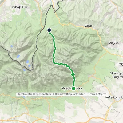 HardTwo-dayMarkedStary Smokowiec Tatrzańska JaworinaElevation profile996–2 342 m22.4 kmascent 1 382 m≈ 8.5 h walking
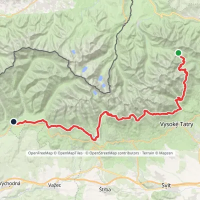 HardMulti-dayMarkedTatranská magistrála (Tatra Highway): Podbanské Veľké Biele plesoElevation profile929–2 043 m50.1 kmascent 1 639 m
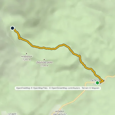 EasyOne-dayMarkedTatranská Lesná Waterfalls of Studený StreamElevation profile922–1 237 m3.9 kmascent 315 m≈ 1.5 h walking
Report the condition
Been here recently? Tell us what you saw and add photos — your report appears on the page right away with today’s date.
