Mountain shelter
Rainer's Hut
Slovakia · High Tatras range · 1 301 m


- Photo: Ing.Mgr.Jozef Kotulič · CC BY-SA 4.0 · Wikimedia Commons
- Photo: Jarovyh · CC BY-SA 4.0 · Wikimedia Commons
- Photo: Bubamara · CC BY-SA 3.0 · Wikimedia Commons
Condition
StandingNo hikers’ reports yet. According to open data the hut is open all year — check its website or call before setting out.
Last edited on the OSM map 22.01.2026
- 1 301 m
- Meals served
- All year
Practical info
- Local name: Rainerova chata (Rainerova útulňa)
- Season: All year — open daily in the summer and winter seasons, at weekends and holidays off-season; no overnight stays
- Food: Kitchen or buffet
- Built: 1865
About
Rainer's Hut, or Rainerka, is the oldest surviving tourist hut in the Tatras. The small one-room stone cottage stands at 1301 m on the Starolesnianska poľana, where the Malá and Veľká Studená valleys of the High Tatras meet, close to the Studený potok waterfalls.
It was built in 1865 by Ján Juraj Rainer, the leaseholder of Starý Smokovec, for visitors coming to see the waterfalls. Later it fell into disuse and served as a store, until the TANAP administration conserved it in 1983. Since 1998 the former mountain porter Peter Petras has brought it back to life as a living monument: it holds a small museum of Tatra porters and climbing gear, porters' races are held nearby and every year at Epiphany a nativity scene of snow and ice appears in front.
There are no beds, but there is a buffet with hot drinks. The red Tatra Magistrála and the blue trail to Zbojnícka Hut pass the hut. Mountain rescue (HZS): 18 300.
On the map
Coordinates: 49.16689, 20.21866
How to get there
from Hrebienok on the red Tatra Magistrála, about 30 min along an easy path suitable even for wheelchairs; Starý Smokovec to Hrebienok on the green trail about 1 h.
Trails nearby
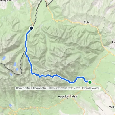 HardMulti-dayMarkedTatranská Lomnica Lysá PoľanaElevation profile853–2 268 m27.3 kmascent 1 415 m≈ 9.5 h walking
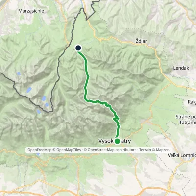 HardTwo-dayMarkedStary Smokowiec Tatrzańska JaworinaElevation profile996–2 342 m22.4 kmascent 1 382 m≈ 8.5 h walking
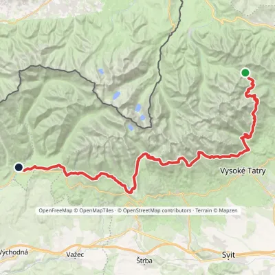 HardMulti-dayMarkedTatranská magistrála (Tatra Highway): Podbanské Veľké Biele plesoElevation profile929–2 043 m50.1 kmascent 1 639 m
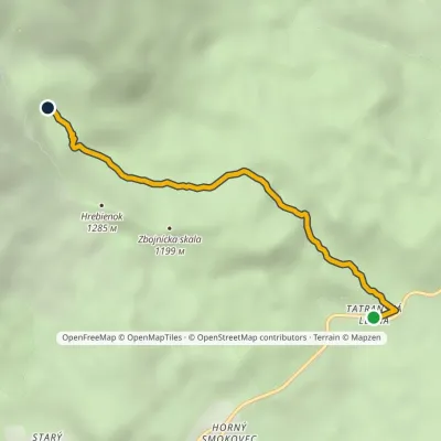 EasyOne-dayMarkedTatranská Lesná Waterfalls of Studený StreamElevation profile922–1 237 m3.9 kmascent 315 m≈ 1.5 h walking
Report the condition
Been here recently? Tell us what you saw and add photos — your report appears on the page right away with today’s date.
