Spring
Spring below Hrebienok (north-west slope)
Slovakia · High Tatras range · 1 278 m
Condition
Not verifiedNo recent reports. Carry water and, if you pass by, tell us what you saw.
Last edited on the OSM map 31.01.2023
- 1 278 m
About
High Tatras range, about 1 280 m above sea level. Mount Slavkovský štít (2 452 m) is about 2.9 km away. 3 of the site’s trails pass nearby, including “Stary Smokowiec – Tatrzańska Jaworina”.
On the map
Coordinates: 49.16031, 20.22402
How to get there
Trails nearby
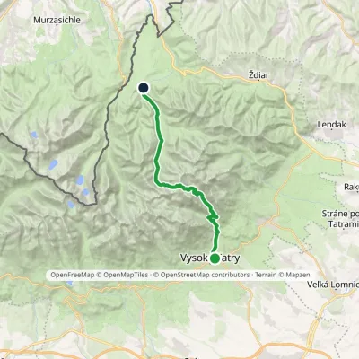 HardTwo-dayMarkedStary Smokowiec Tatrzańska JaworinaElevation profile996–2 342 m22.4 kmascent 1 382 m≈ 8.5 h walking
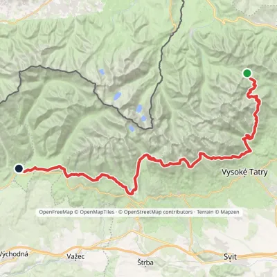 HardMulti-dayMarkedTatranská magistrála (Tatra Highway): Podbanské Veľké Biele plesoElevation profile929–2 043 m50.1 kmascent 1 639 m
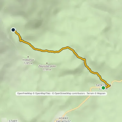 EasyOne-dayMarkedTatranská Lesná Waterfalls of Studený StreamElevation profile922–1 237 m3.9 kmascent 315 m≈ 1.5 h walking
Report the condition
Been here recently? Tell us what you saw and add photos — your report appears on the page right away with today’s date.
No photos yet — send yours together with a condition report.
