Pyšný štít
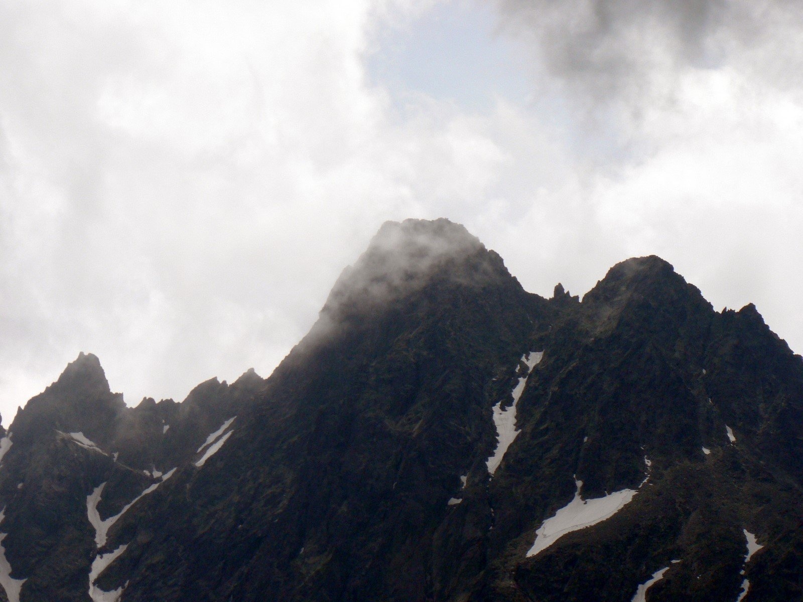
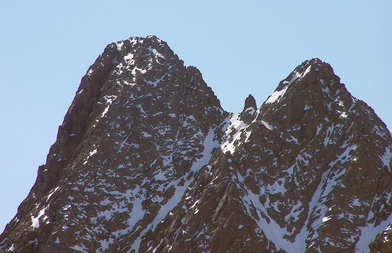
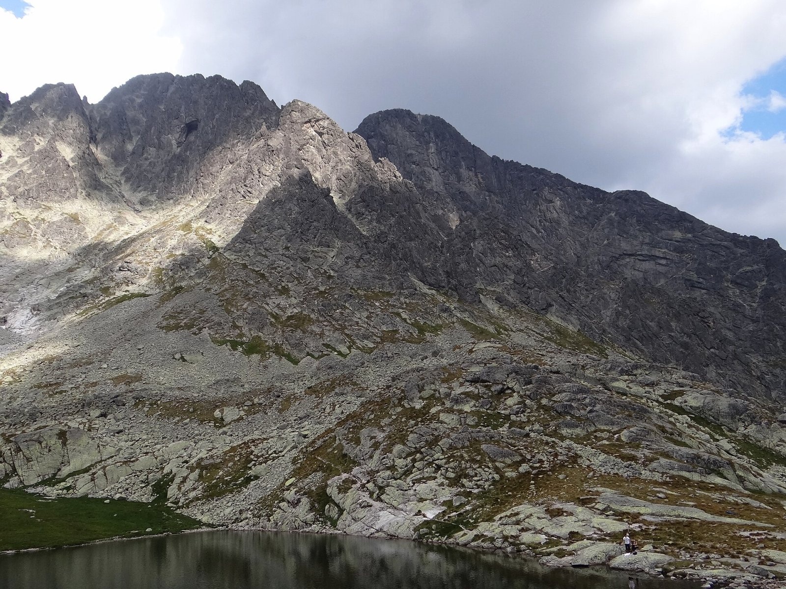
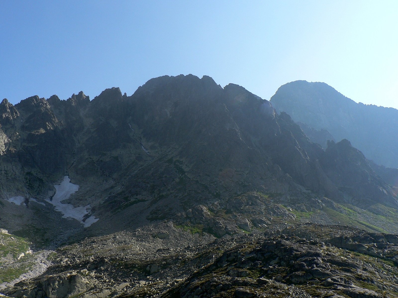
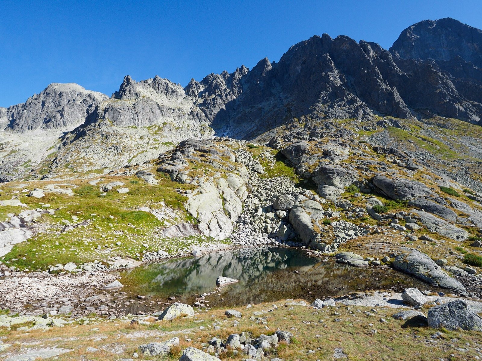
Pyšný štít (Polish Durny Szczyt, German Schwalbenturm) is a rocky High Tatra summit of 2,621 m — according to Slovak and Polish sources the fourth highest mountain of the Tatras and of all Slovakia. It rises on the long side ridge between Baranie rohy and Lomnický štít, above the Téry hut in the Malá Studená valley, about 15 km north-west of Poprad. The nearest settlements are Tatranská Lomnica, Tatranské Matliare, Tatranská Kotlina and Ždiar. The summit lies in the Tatra National Park (TANAP), on the boundary of the Studené doliny and Dolina Bielej vody kežmarskej reserves. Despite its height it stands somewhat in the shadow of neighbouring Lomnický štít (2,634 m).
How to get there / routes
No marked hiking trail leads to the summit. An ascent is possible only with a licensed mountain guide or for members of mountaineering associations. The easiest line starts at the Téry hut: it is combined with the first part of the classic “Jordánka” route to Lomnický štít and then follows the south-east ridge from Bachledova štrbina (grade II–III UIAA). In winter the route via Lastovičia štrbina (II UIAA) is popular. The Pyšný massif is considered one of the hardest places in the Tatras to navigate, so retreating in bad weather can be difficult. Non-climbers get fine views of the peak from the Five Spiš Tarns valley and from Zelené pleso.
What you can see from the summit
The view from Pyšný štít is among the widest in the Tatras. Around it stand Lomnický, Kežmarský and Malý Kežmarský štít, Slavkovský štít, Baranie rohy, Ľadový and Snehový štít, Čierny štít and Jahňací štít. In clear weather you can see the Sub-Tatra basin, part of the Low Tatras, Kozie chrbty, the Slovak Karst’s Spiš-Gemer section, the Volovské, Slanské and Levoča hills and the Orava Beskids.
Nature and history
Pyšný štít is the most massive elevation on the ridge from Baranie rohy to Lomnica. Two notches separate it from Malý Pyšný štít (about 2,590 m), with a ten-metre rock needle, Loktibrada, standing between them — the easiest landmark for recognising the peak from afar. To the west, towards the Malá Studená valley and the Five Spiš Tarns, the mountain drops in a wall of about 250 m, and to the east, into the Medená kotlina cirque, in a wall of about 400 m. The west face holds the largest overhang in the Tatras, first climbed in 2002 (grade VII A4).
The name refers to the proud, bold look of the peak: in the Podhale dialect “durny” means “proud”. Old Goral guides saw it as a satellite of Lomnica and called it Little Lomnica, while the German and Hungarian “Swallow Tower” names were transferred to it by mistake. The first ascent was made by Edmund Téry and mountain guide Martin Spitzkopf in August 1877; the first winter ascent followed on 27 March 1910.
Safety, season and rules
TANAP high-mountain trails are closed from 1 November to 31 May, and off-trail terrain may be entered only with a mountain guide or as a member of a mountaineering club — this applies to Pyšný štít too. The slopes are steep and loose, snow stays in the gullies until summer and the weather changes fast. Slovak Mountain Rescue (HZS): 18 300 (+421 18 300); emergency number 112. Park rules: tanap.sk.
Interesting facts
- Pyšný štít belongs to the Great Crown of the Tatras.
- The well-known Slovak guide Ján Breuer died here in 1924 while rescuing an injured climber.
- The Loktibrada needle between the two notches is the simplest way to identify the summit.
Photos: Krzysztof Dudzik-Górnicki (User:ToSter), CC BY 3.0; Adam Opioła, CC BY-SA 4.0; Jerzy Opioła, CC BY-SA 3.0; Krzysztof Dudzik-Górnicki (User:ToSter), CC BY-SA 3.0; Rafik k, CC BY-SA 4.0; Krzysztof Dudzik-Górnicki (User:ToSter), CC BY 3.0; Rafik k, CC BY-SA 4.0 — Wikimedia Commons.
Getting there from Ukraine
Border crossings
- Uzhhorod – Vyšné Nemecké — road, 24/7
- Malyi Bereznyi – Ubľa — road, 24/7 For cars and buses; pedestrians not confirmed by the Ukrainian border service, lorries up to 3.5 t.
- Mali Selmentsi – Veľké Slemence (pedestrian) — pedestrian, 09:00–21:00 Kyiv time Pedestrians and cyclists only; inconvenient for the Tatras without onward transport.
- Chop – Čierna nad Tisou (rail) — rail, 24/7
By car
Uzhhorod – Poprad ≈195 km, ≈2 h 55 min without queues: Uzhhorod – Vyšné Nemecké checkpoint → I/19 via Sobrance and Michalovce → Košice → D1 motorway via Prešov → Poprad (Liptovský Mikuláš is ≈56 km further on the D1, total ≈249 km). Košice – Poprad ≈112 km. The D1 requires an e-vignette (eznamka.sk). Note: from Lviv the fastest way to Poprad is through Poland — Krakovets – A4 – Kraków – Zakopane – Łysa Polana ≈468 km (≈5 h 50 min); via Uzhok and Malyi Bereznyi ≈419 km but slower (≈6 h 40 min). Zakopane – Poprad ≈69 km, Zakopane – Liptovský Mikuláš ≈80 km.
Checked 23.10.2026; border crossing hours and timetables change — check before you travel.
Location on the map
Water and shelter nearby
- Spring below Čierna vežička690 m · Not verified · 2 055 m
- Téry Hut1.1 km · Standing · 2 015 m
- Spring below Nižný kolový chlapík1.5 km · Not verified · 2 051 m
- Brukov prameň Spring1.6 km · Not verified · 1 868 m
- Green Tarn Hut1.7 km · Standing · 1 550 m
- Spring below Huncovský štít1.9 km · Not verified · 1 918 m
- Skalnatá Hut2.2 km · Standing · 1 725 m
- Linda Spring2.8 km · Not verified · 1 585 m
- Zamkovský Hut2.8 km · Standing · 1 475 m
- Spring below Strelecká veža2.9 km · Not verified · 1 704 m
- Spring below Zadný Oštep (south slope)3 km · Not verified · 1 427 m
Comments
Trails nearby
All trails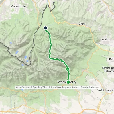 HardTwo-dayMarkedStary Smokowiec Tatrzańska JaworinaElevation profile996–2 342 m22.4 kmascent 1 382 m≈ 8.5 h walking1 km from Pyšný štít
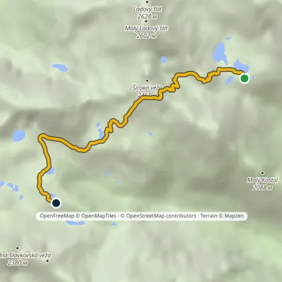 HardOne-dayMarkedTéryho chata Zbojnícka chataElevation profile1 970–2 260 m4.9 kmascent 247 m≈ 1.5 h walking1 km from Pyšný štít
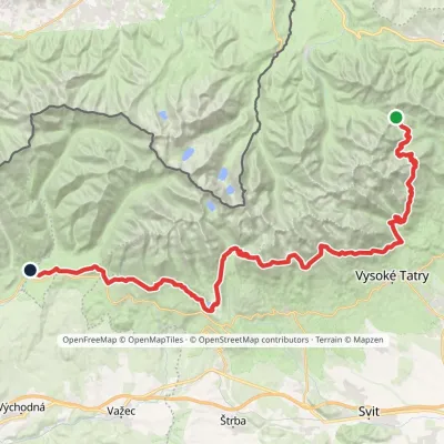 HardMulti-dayMarkedTatranská magistrála (Tatra Highway): Podbanské Veľké Biele plesoElevation profile929–2 043 m50.1 kmascent 1 639 m1.5 km from Pyšný štít
Nearby attractions
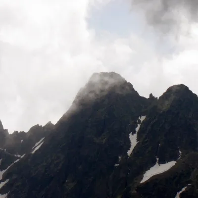 PeakMalý Pyšný štítStarý Smokovecaltitude 2 590 munder 1 km from Pyšný štítMalý Pyšný štít (Polish Mały Durny Szczyt, German Téryspitze, Hungarian Téry-csúcs) is a 2,590 m rock summit in the Slovak High Tatras.
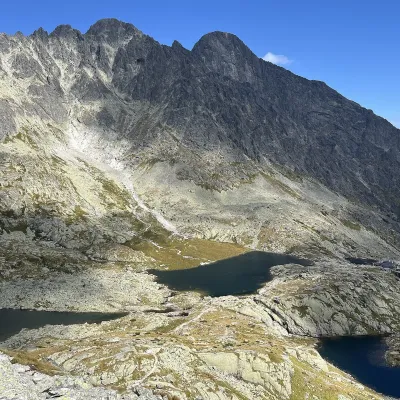 LakePäť Spišských plies (Five Spiš Tarns)Starý Smokovecunder 1 km from Pyšný štítPäť Spišských plies (the Five Spiš Tarns) is a group of five glacial lakes at the very head of Malá Studená dolina in the Slovak High Tatras, within Tatra National...
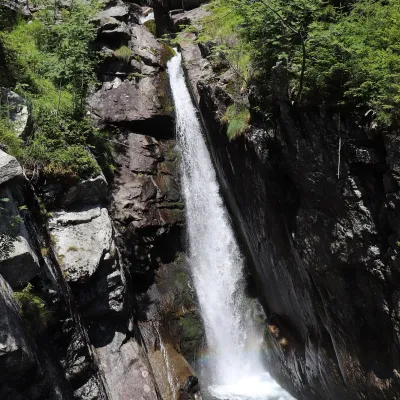 WaterfallObrovský vodopád (Giant Waterfall)Starý Smokovec3.1 km from Pyšný štítObrovský vodopád (Polish Wodospad Olbrzymi, German Riesenwasserfall – the "Giant Waterfall") is one of the most powerful and photogenic waterfalls of the Slovak High...
Craft nearby
All craft places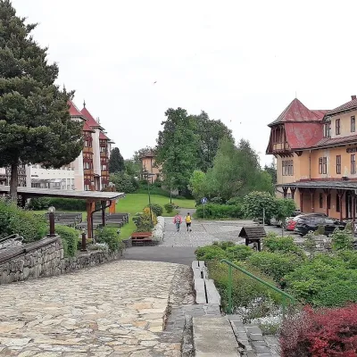 Water parks & thermal poolsClimatic spas of the High Tatras: Nový Smokovec, Polianka, KotlinaVysoké Tatry6.6 km from Pyšný štítNový Smokovec is the best known of the climatic spas of the High Tatras. It grew up in a spruce forest at about 1010 m, south-west of Starý Smokovec, with which it...
 Cheese dairies & pasturesShepherd's Hut on Rusinowa PolanaBrzegi11 km from Pyšný štítRusinowa Polana is one of the most beautiful mountain glades in the Polish Tatras, and from May to October it is home to the bacówka (shepherd's hut) of baca Stanisław...
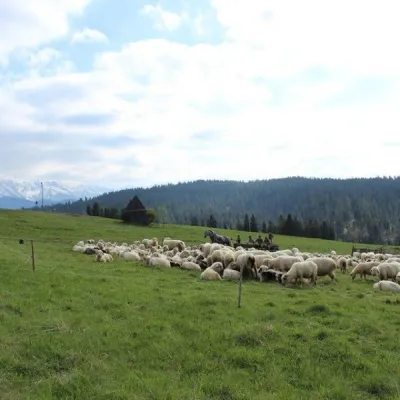 Cheese dairies & pasturesU Jancoka Shepherd's Hut, Brzegi: oscypek from Poland's first female bacaBrzegi16 km from Pyšný štítThe U Jancoka shepherd's hut (bacówka) stands beside regional road 960, which runs from Bukowina Tatrzańska to the Łysa Polana border crossing, in the village of Brzegi.
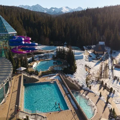 Water parks & thermal poolsTermy BukovinaBukowina Tatrzańska16 km from Pyšný štítTermy Bukovina is a modern thermal pool complex in Bukowina Tatrzańska, a village lying about a thousand metres above sea level on the edge of the Tatra National Park.
 Water parks & thermal poolsAquaCity Poprad water parkPoprad17 km from Pyšný štítAquaCity Poprad is a large year-round water park and wellness complex in the town of Poprad, a few minutes from the centre; according to the complex, the High Tatras...
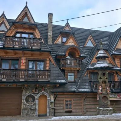 Crafts & workshopsDrewutnia, Bukowina Tatrzańska: glass painting workshops and highland furnitureBukowina Tatrzańska17 km from Pyšný štítDrewutnia ("the woodshed") calls itself a "shop for cultural needs". It is the family business of the Kuchtas of Bukowina Tatrzańska, who say they have lived here...
