Malý Pyšný štít
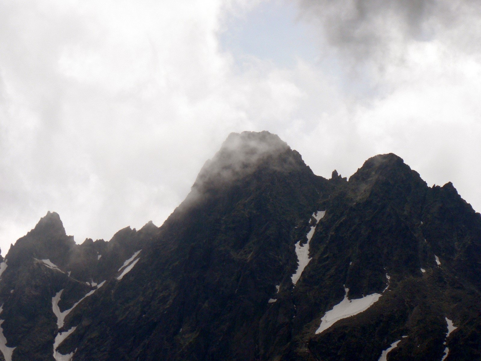
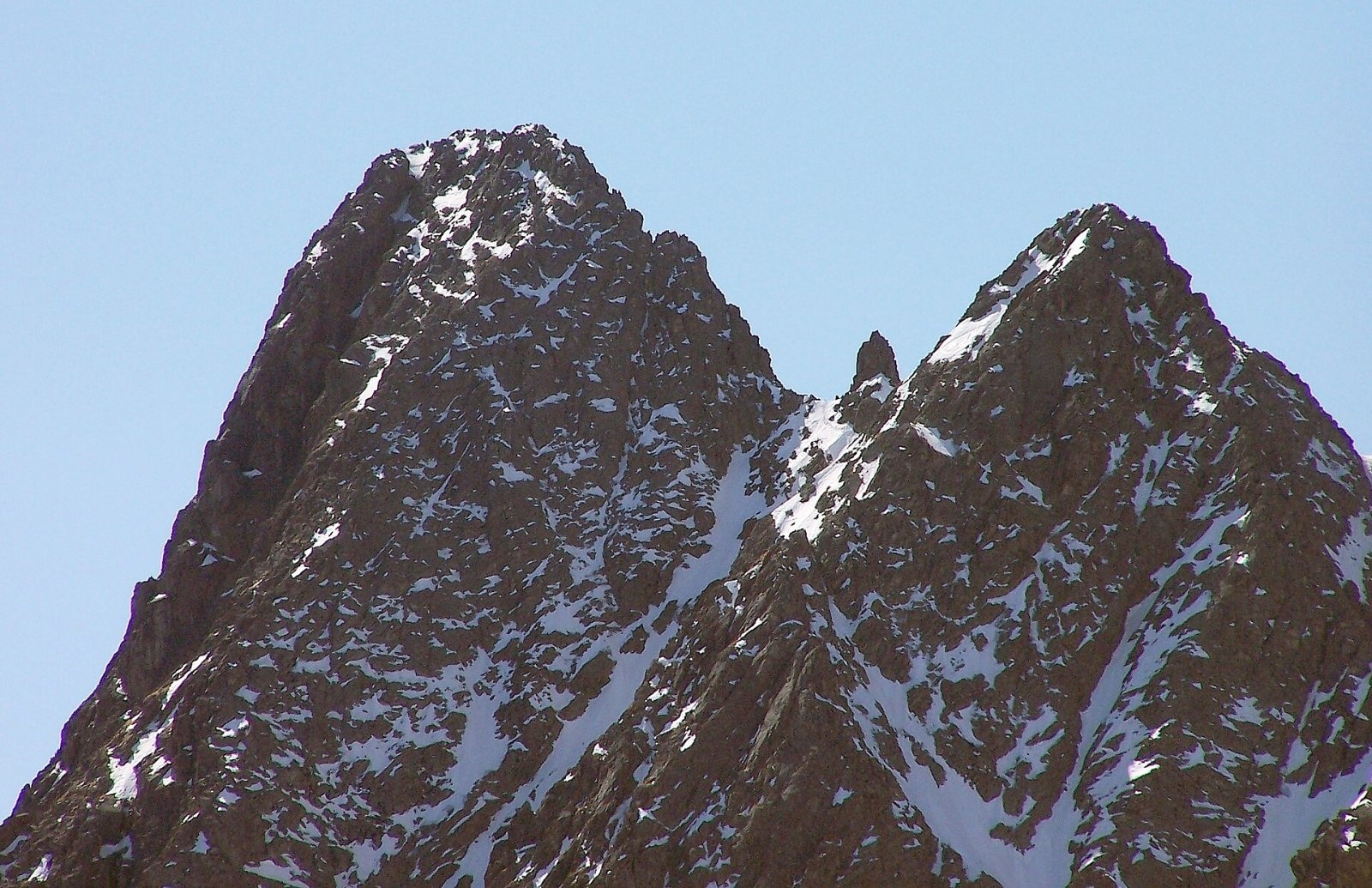
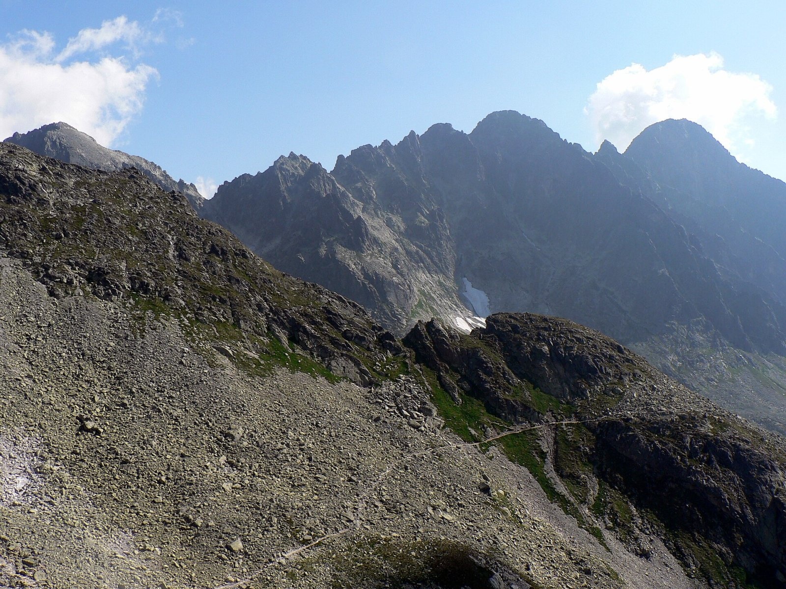
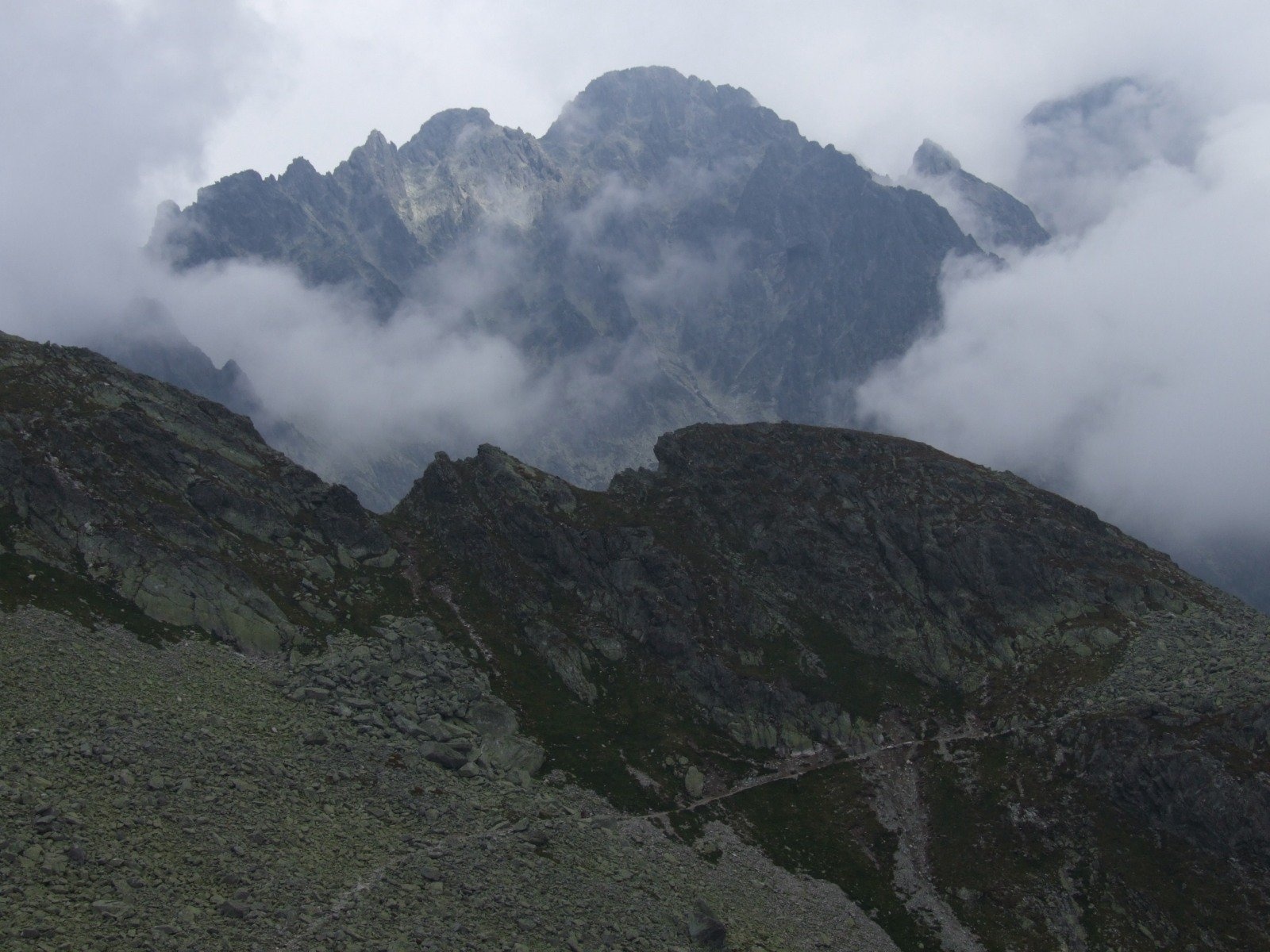
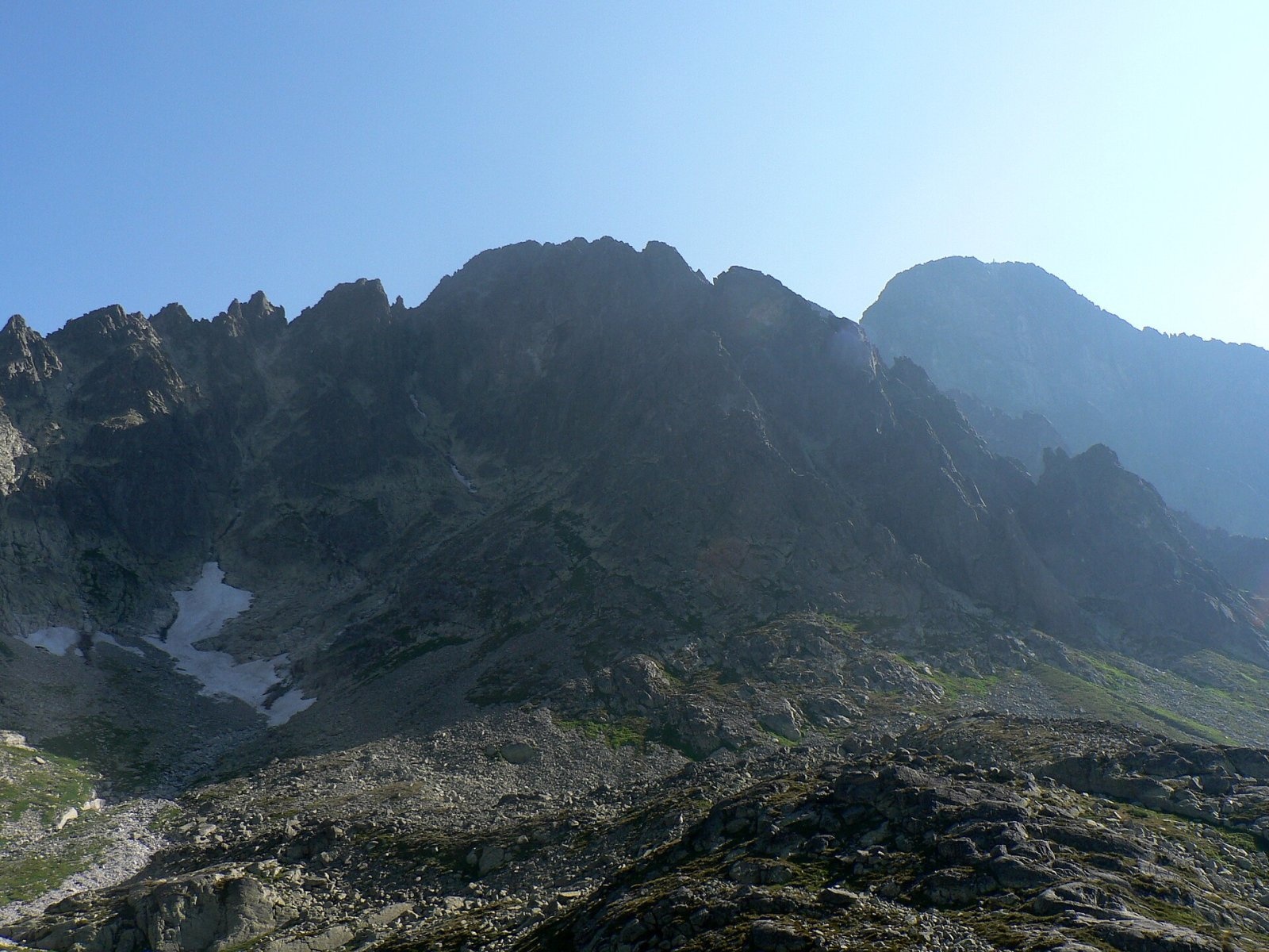
Malý Pyšný štít (Polish Mały Durny Szczyt, German Téryspitze, Hungarian Téry-csúcs) is a 2,590 m rock summit in the Slovak High Tatras. It stands on the long side ridge that leaves the main Tatra crest at Vyšná Barania strážnica and runs to Lomnický štít; counting from Baranie sedlo it is the first distinct summit of this jagged ridge. Together with its higher neighbour Pyšný štít (2,623 m) to the south-east it forms a characteristic pair. The upper cable-car station on Lomnický štít is about 600 m away in a straight line, Tatranská Lomnica (town of Vysoké Tatry) about 7 km.
No marked hiking trail leads to the summit — it is purely a climbers' objective.
How to get there / routes
The summit can only be reached by climbing routes. According to the classic Hungarian guide, the easiest line is the north-west ridge from the Egenhoffer notch: a well-stepped ridge leads to the top in about 20 minutes. The south-east ridge from the Pawlikowski (Lastovičia) notch is also easy, but reaching the notch itself is usually difficult from both sides. The south-west face from the Five Spiš Tarns and the north-east route from Zelené pleso are harder, and the rock in the lower north-eastern face is brittle.
Marked trails exist only in the valleys below: to Téryho chata in the Malá Studená dolina and to Zelené pleso. Malý Pyšný štít is clearly visible from there, but leaving the marked paths without climbing rights is not allowed in TANAP.
The view and the surroundings
The summit rises above three valleys: the Kotlina Piatich Spišských plies (part of the Malá Studená dolina), the Veľká Zmrzlá dolina (a branch of the Zelené pleso valley in the Kežmarská Biela voda system) and the Medená kotlina. The double Lastovičia štrbina, with the 15 m pinnacle Loktibrada in its middle, separates it from Pyšný štít; to the north-west, beyond Malá Lastovičia štrbina, stands Strapatá veža, and the ridge continues over a row of towers to Spišský štít (2,481 m). The prominent Pyšný mních rises from the summit's south-west pillar. Seen from Zelené pleso the two Pyšný summits look like an equal pair, while from the Five Spiš Tarns a deep gully clearly divides them and shows that Pyšný štít is much more massive.
Nature and history
The Slovak and Polish names derive from neighbouring Pyšný štít ("the little proud peak"). The German and Hungarian names honour the Hungarian doctor and mountaineer Ödön (Edmund) Téry, the first to climb Pyšný štít; Téryho chata in the Five Spiš Tarns valley also bears his name.
The first recorded ascent was made by Gyula Dőri on 17 July 1901 via Lastovičia štrbina; on the same trip he also climbed Loktibrada. The first winter party, on 2 January 1910, was Lajos Károly Horn, the brothers Gyula and Roman Komarnicki and Jenő Serényi. Hard routes followed on the faces: in 1952 M. Mereš and A. Puškáš climbed the right part of the north-east face (grade VI), and in 2007 P. Jackovič and M. Medvec opened "Bailando" (V+ A3).
Safety, season and rules
The summit lies in the Tatra National Park (TANAP). Ascents off marked trails are allowed only under the park's rules for climbers; people without climbing experience should go only with a licensed mountain guide. Check the current rules on the TANAP website before you go. TANAP's high-mountain trails are closed every year from 1 November to 31 May. Brittle rock, snow lingering in gullies into summer and fast weather changes make these ridges dangerous even for experienced climbers.
Slovak Mountain Rescue — HZS: 18 300 (+421 18 300); general emergency number 112.
Photos: Krzysztof Dudzik-Górnicki (User:ToSter), CC BY 3.0; Adam Opioła, CC BY-SA 4.0; Krzysztof Dudzik-Górnicki (User:ToSter), CC BY-SA 3.0; Jerzy Opioła, CC BY-SA 4.0; Krzysztof Dudzik-Górnicki (User:ToSter), CC BY-SA 3.0 — Wikimedia Commons.
Getting there from Ukraine
Border crossings
- Uzhhorod – Vyšné Nemecké — road, 24/7
- Malyi Bereznyi – Ubľa — road, 24/7 For cars and buses; pedestrians not confirmed by the Ukrainian border service, lorries up to 3.5 t.
- Mali Selmentsi – Veľké Slemence (pedestrian) — pedestrian, 09:00–21:00 Kyiv time Pedestrians and cyclists only; inconvenient for the Tatras without onward transport.
- Chop – Čierna nad Tisou (rail) — rail, 24/7
By car
Uzhhorod – Poprad ≈195 km, ≈2 h 55 min without queues: Uzhhorod – Vyšné Nemecké checkpoint → I/19 via Sobrance and Michalovce → Košice → D1 motorway via Prešov → Poprad (Liptovský Mikuláš is ≈56 km further on the D1, total ≈249 km). Košice – Poprad ≈112 km. The D1 requires an e-vignette (eznamka.sk). Note: from Lviv the fastest way to Poprad is through Poland — Krakovets – A4 – Kraków – Zakopane – Łysa Polana ≈468 km (≈5 h 50 min); via Uzhok and Malyi Bereznyi ≈419 km but slower (≈6 h 40 min). Zakopane – Poprad ≈69 km, Zakopane – Liptovský Mikuláš ≈80 km.
Checked 23.10.2026; border crossing hours and timetables change — check before you travel.
Location on the map
Water and shelter nearby
- Spring below Čierna vežička570 m · Not verified · 2 055 m
- Téry Hut1.1 km · Standing · 2 015 m
- Spring below Nižný kolový chlapík1.4 km · Not verified · 2 051 m
- Green Tarn Hut1.7 km · Standing · 1 550 m
- Brukov prameň Spring1.7 km · Not verified · 1 868 m
- Spring below Huncovský štít2 km · Not verified · 1 918 m
- Skalnatá Hut2.4 km · Standing · 1 725 m
- Linda Spring2.7 km · Not verified · 1 585 m
- Spring below Strelecká veža2.9 km · Not verified · 1 704 m
- Zamkovský Hut2.9 km · Standing · 1 475 m
Comments
Trails nearby
All trails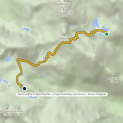 HardOne-dayMarkedTéryho chata Zbojnícka chataElevation profile1 970–2 260 m4.9 kmascent 247 m≈ 1.5 h walking1 km from Malý Pyšný štít
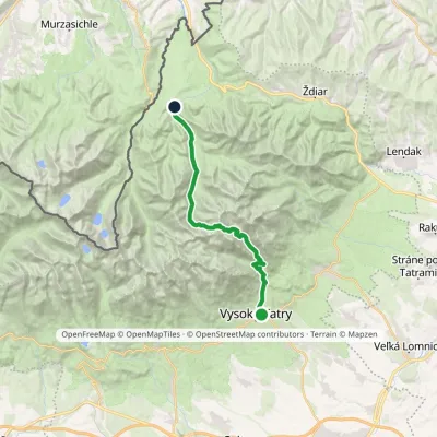 HardTwo-dayMarkedStary Smokowiec Tatrzańska JaworinaElevation profile996–2 342 m22.4 kmascent 1 382 m≈ 8.5 h walking1 km from Malý Pyšný štít
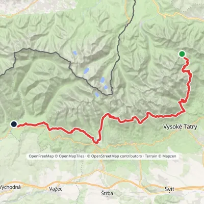 HardMulti-dayMarkedTatranská magistrála (Tatra Highway): Podbanské Veľké Biele plesoElevation profile929–2 043 m50.1 kmascent 1 639 m1.5 km from Malý Pyšný štít
Nearby attractions
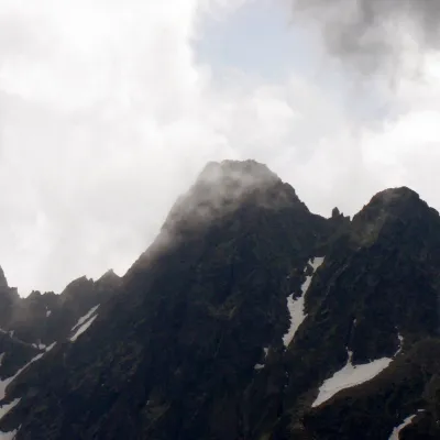 PeakPyšný štítStarý Smokovecaltitude 2 621 munder 1 km from Malý Pyšný štítPyšný štít (Polish Durny Szczyt, German Schwalbenturm) is a rocky High Tatra summit of 2,621 m — according to Slovak and Polish sources the fourth highest mountain of...
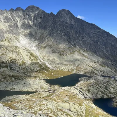 LakePäť Spišských plies (Five Spiš Tarns)Starý Smokovecunder 1 km from Malý Pyšný štítPäť Spišských plies (the Five Spiš Tarns) is a group of five glacial lakes at the very head of Malá Studená dolina in the Slovak High Tatras, within Tatra National...
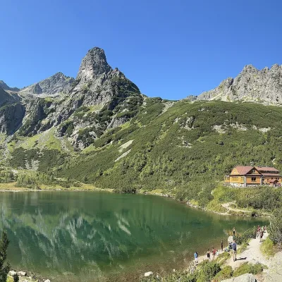 LakeZelené pleso (Kežmarské)Kežmarské Žľaby1.6 km from Malý Pyšný štítZelené pleso, often called Kežmarské Zelené pleso, is a moraine lake in the Dolina Zeleného plesa valley in the north-east of the High Tatras, at 1,545 m.
Craft nearby
All craft places Water parks & thermal poolsClimatic spas of the High Tatras: Nový Smokovec, Polianka, KotlinaVysoké Tatry6.7 km from Malý Pyšný štítNový Smokovec is the best known of the climatic spas of the High Tatras. It grew up in a spruce forest at about 1010 m, south-west of Starý Smokovec, with which it...
 Cheese dairies & pasturesShepherd's Hut on Rusinowa PolanaBrzegi11 km from Malý Pyšný štítRusinowa Polana is one of the most beautiful mountain glades in the Polish Tatras, and from May to October it is home to the bacówka (shepherd's hut) of baca Stanisław...
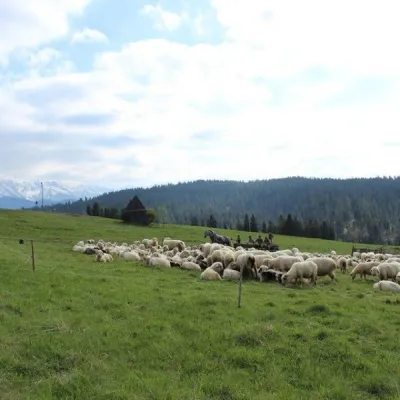 Cheese dairies & pasturesU Jancoka Shepherd's Hut, Brzegi: oscypek from Poland's first female bacaBrzegi15 km from Malý Pyšný štítThe U Jancoka shepherd's hut (bacówka) stands beside regional road 960, which runs from Bukowina Tatrzańska to the Łysa Polana border crossing, in the village of Brzegi.
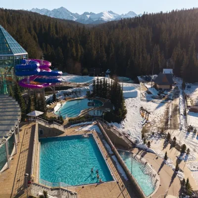 Water parks & thermal poolsTermy BukovinaBukowina Tatrzańska16 km from Malý Pyšný štítTermy Bukovina is a modern thermal pool complex in Bukowina Tatrzańska, a village lying about a thousand metres above sea level on the edge of the Tatra National Park.
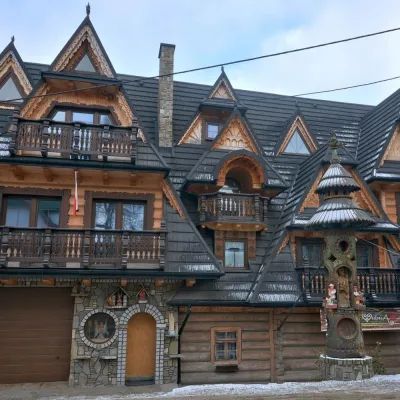 Crafts & workshopsDrewutnia, Bukowina Tatrzańska: glass painting workshops and highland furnitureBukowina Tatrzańska17 km from Malý Pyšný štítDrewutnia ("the woodshed") calls itself a "shop for cultural needs". It is the family business of the Kuchtas of Bukowina Tatrzańska, who say they have lived here...
 Water parks & thermal poolsAquaCity Poprad water parkPoprad17 km from Malý Pyšný štítAquaCity Poprad is a large year-round water park and wellness complex in the town of Poprad, a few minutes from the centre; according to the complex, the High Tatras...
