Vikartovce
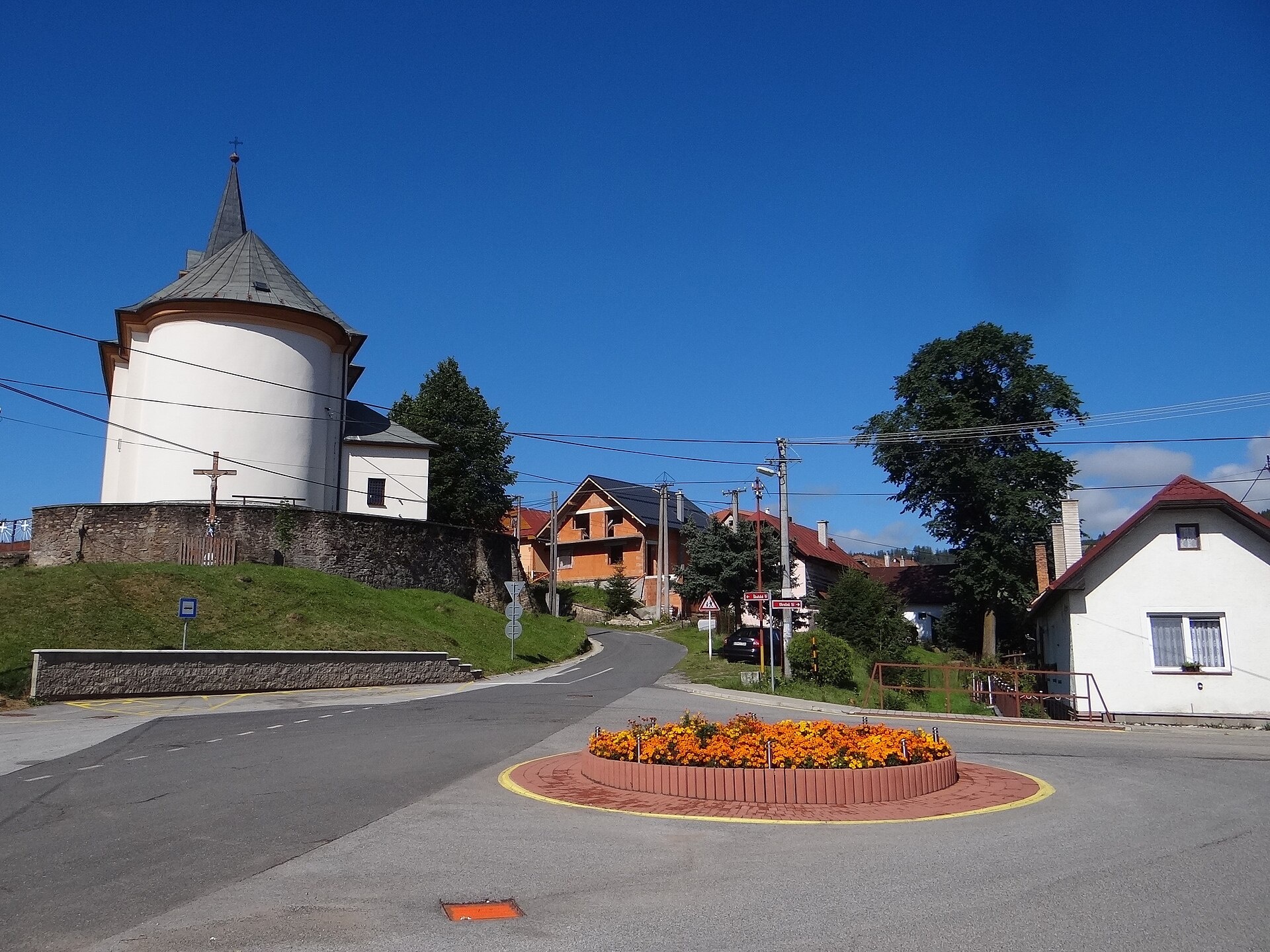
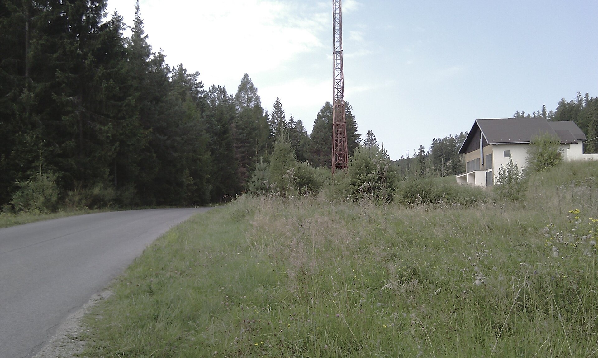
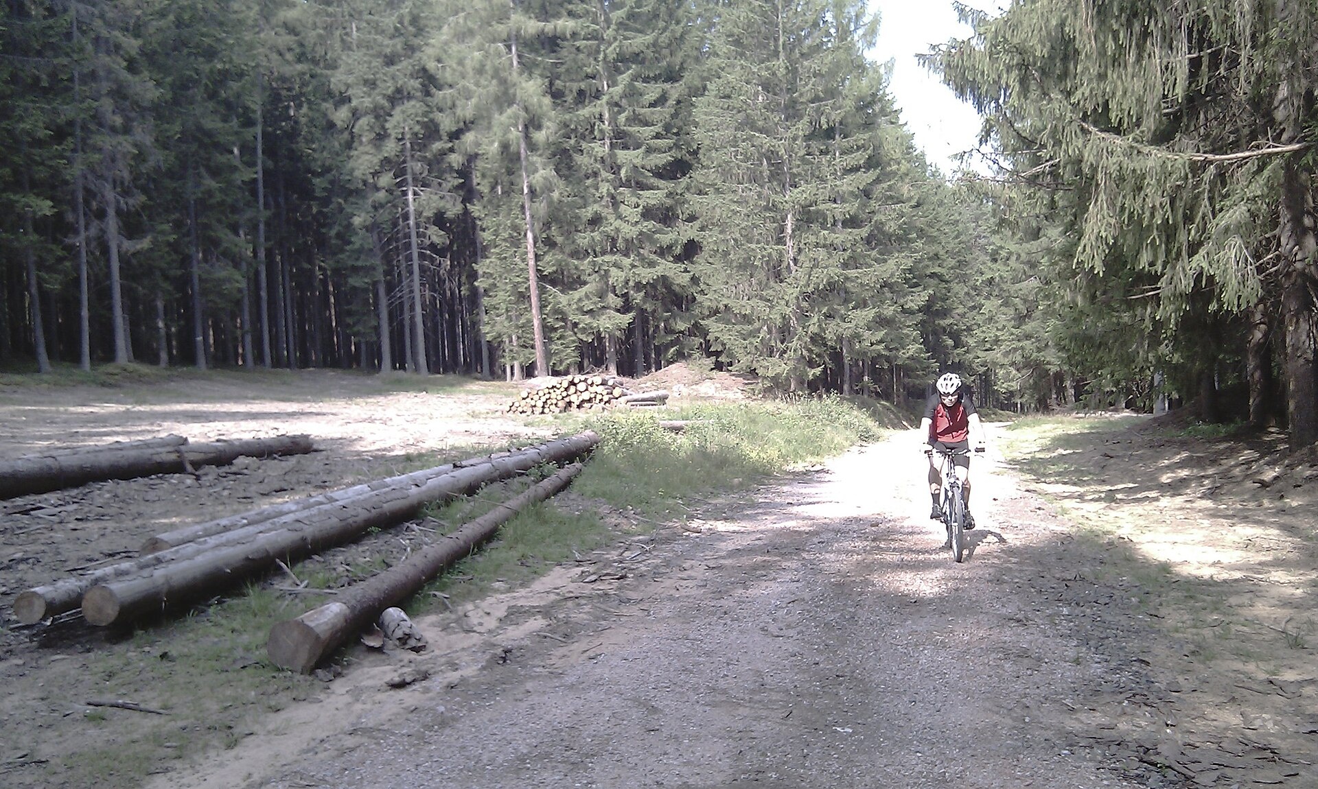
Photos: Jerzy Opioła, CC BY-SA 4.0 (Wikimedia Commons); Róbert Poláček, CC BY 3.0 (Wikimedia Commons); Róbert Poláček, CC BY 3.0 (Wikimedia Commons)
Vikartovce is a village in Slovakia, located in the Poprad District of the Prešov Region. The settlement lies in the north of the country, in the upper Hornád valley on the northern slopes of the Low Tatras and the Vikartovce Horst. The Červenec river flows through the village, and the surrounding landscape is shaped by picturesque mountain ranges.
The first written mention of Vikartovce dates back to 1283. Throughout its history, the village was part of the Kingdom of Hungary, later Czechoslovakia, and from 1939 to 1945 belonged to the Slovak Republic. On 28 January 1945, the Red Army liberated Vikartovce from German forces during the Western Carpathian offensive.
Vikartovce is known for its Roman Catholic church in the Classicist style, built in 1781 on the site of an older Gothic church from the 14th century. The village has a rich cultural heritage and preserved traditions. The population is predominantly Slovak, with a Romani community also present. Its natural setting and proximity to the Low Tatras make it attractive for mountain enthusiasts.
For visitors, Vikartovce and its surroundings offer numerous hiking trails, including "Nizhni Hagi – Crossroads under the Polish Ridge", "Shkutnasta Polana – Štrba, station", "Shtola – Batizovské pleso", "Pogorela, station – Andrejcova Hut", and "Vypad – Andrejcova Hut". The Andrejcova Hut is available for overnight stays in the mountains. Here you can go hiking, explore nature, and discover local culture.
Getting there from Ukraine
Uzhhorod – Poprad ≈195 km, ≈2 h 55 min without queues: Uzhhorod – Vyšné Nemecké checkpoint → I/19 via Sobrance and Michalovce → Košice → D1 motorway via Prešov → Poprad (Liptovský Mikuláš is ≈56 km further on the D1, total ≈249 km). Košice – Poprad ≈112 km. The D1 requires an e-vignette (eznamka.sk). Note: from Lviv the fastest way to Poprad is through Poland — Krakovets – A4 – Kraków – Zakopane – Łysa Polana ≈468 km (≈5 h 50 min); via Uzhok and Malyi Bereznyi ≈419 km but slower (≈6 h 40 min). Zakopane – Poprad ≈69 km, Zakopane – Liptovský Mikuláš ≈80 km.
Sources: Wikipedia, Wikidata, OpenStreetMap, Karpaty.rocks data. More on Wikipedia
What's nearby
Trails nearby
All trails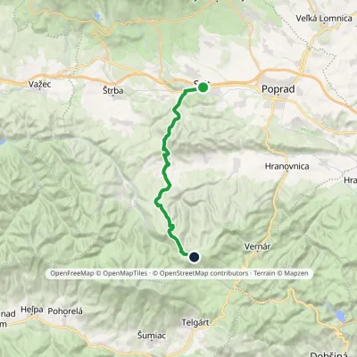 HardTwo-dayMarkedSvit, station Smrečinské SaddleElevation profile729–1 448 m24.5 kmascent 1 067 m≈ 8.5 h walkingunder 1 km from the centre
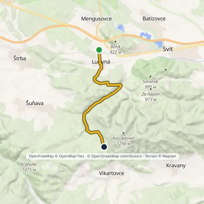 EasyOne-dayMarkedLučivná, stop JakubčákováElevation profile764–968 m9.2 kmascent 310 m≈ 3 h walking1.8 km from the centre
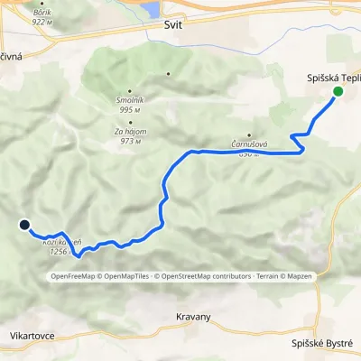 ModerateOne-dayMarkedSpišská Teplica Sedlo TabličkyElevation profile698–1 256 m10.8 kmascent 600 m≈ 4 h walking2.2 km from the centre
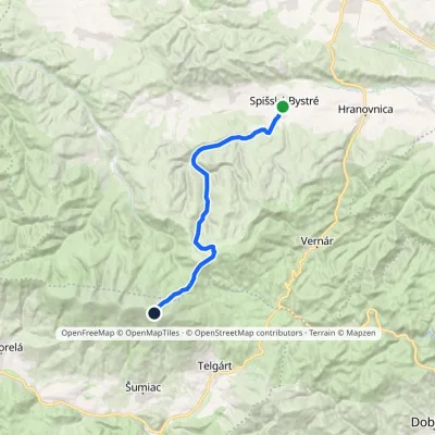 HardTwo-dayMarkedSpišské Bystré Kráľova hoľaElevation profile670–1 941 m19.6 kmascent 1 342 m≈ 7.5 h walking3.2 km from the centre
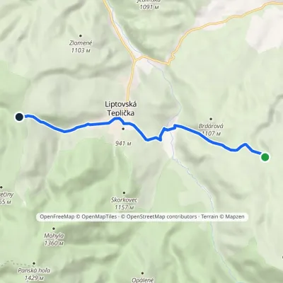 EasyOne-dayMarkedSaddle under Doštianka Doštianky, sheepfoldElevation profile897–1 169 m7.3 kmascent 309 m≈ 2.5 h walking4 km from the centre
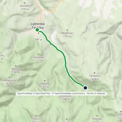 EasyOne-dayMarkedVažec, stop VýpadElevation profile908–1 016 m6.2 kmascent 145 m≈ 2 h walking5.3 km from the centre
Peaks nearby
All peaks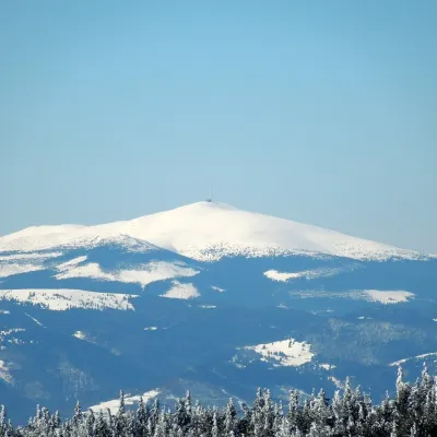 PeakKráľova hoľaŠumiacaltitude 1 946 m12 km from the centreKráľova hoľa (German Königsberg, Hungarian Király-hegy – “King's Mountain”) is a 1,946 m summit, the highest in the eastern part of the Low Tatras, which are called...
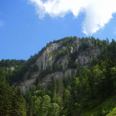 PeakHavrania skalaStratenáaltitude 1 156 m18 km from the centreHavrania skala (Raven Rock) is a 1,156 m summit, one of the highest in the Slovak Paradise. It stands in the southern part of the national park, about 3 km north of...
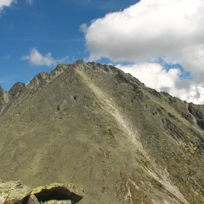 PeakKončistáVyšné Hágyaltitude 2 537 m18 km from the centreKončistá (Polish Kończysta, German Kontschista, Hungarian Koncsiszta) is a 2,537.5 m summit in the High Tatras in Slovakia.
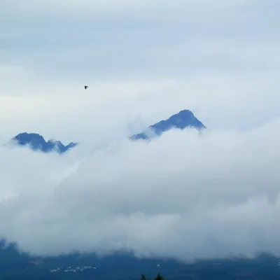 PeakGerlachovský štítVyšné Hágyaltitude 2 655 m19 km from the centreGerlachovský štít (colloquially Gerlach; Polish Gerlach, German Gerlsdorfer Spitze) is the highest peak of the High Tatras, of Slovakia and of the entire Carpathians.
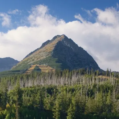 PeakPredné SoliskoŠtrbské Plesoaltitude 2 117 m19 km from the centrePredné Solisko (Polish Skrajne Solisko) is a 2117 m summit at the southern end of the Solisko ridge in the High Tatras, above the resort of Štrbské Pleso, about 20 km...
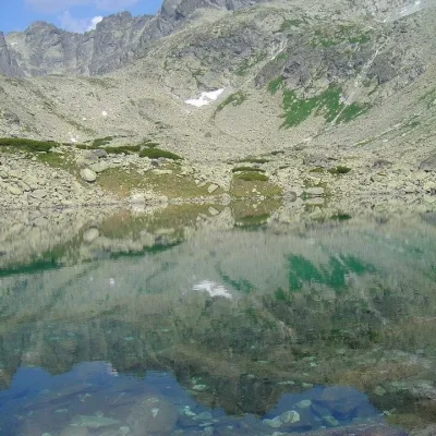 PeakBatizovský štítVyšné Hágyaltitude 2 448 m19 km from the centreBatizovský štít (Polish Batyżowiecki Szczyt, German Botzdorfer Spitze, Hungarian Batizfalvi-csúcs) is a massive twin-topped summit 2448 m high on the main ridge of the...
What to visit
All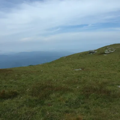 Mountain meadowKráľova hoľa — mountain meadows of the Low TatrasŠumiacaltitude 1 946 m12 km from the centreKráľova hoľa (1,946 m) is a broad, treeless «hoľa» — a mountain meadow above the tree line — at the eastern end of the main ridge of the Low Tatras.
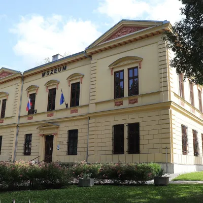 MuseumPodtatranské Museum, Poprad, and the Prince's TombPoprad13 km from the centreThe Podtatranské Museum in Poprad (Podtatranské múzeum v Poprade) is a supra-regional museum at the foot of the High Tatras, run by the Prešov Self-Governing Region.
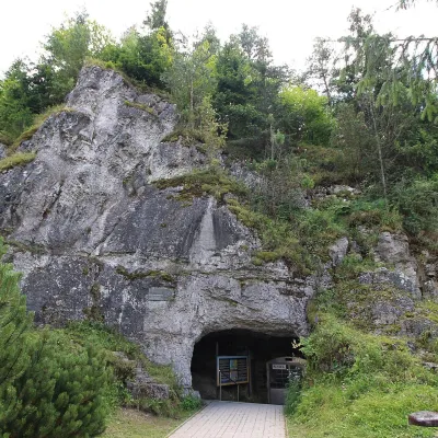 NatureVažecká CaveVažec15 km from the centreVažecká Cave (Važecká jaskyňa) is one of the best-known caves in northern Slovakia, even though it is among the shortest show caves.
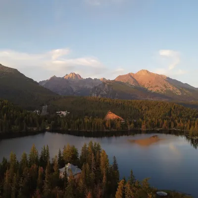 LakeŠtrbské plesoŠtrbské Pleso16 km from the centreŠtrbské pleso is the emblem of the Slovak Tatras: a large mountain lake at 1,346 m surrounded by spruce forest, hotels and High Tatra peaks.
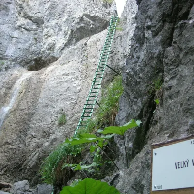 WaterfallPiecky Gorge and its waterfallsHrabušice17 km from the centrePiecky is a limestone karst gorge in the north-western part of the Slovak Paradise National Park, between Suchá Belá to the north and Veľký Sokol to the south.
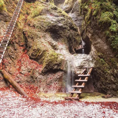 NatureSuchá Belá GorgeHrabušice18 km from the centreThe most romantic gorge in the Slovak Paradise Suchá Belá is the most visited gorge in Slovak Paradise National Park and, according to the park administration, one of...
Craft nearby
All craft places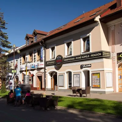 Craft beer & breweriesMinipivovar TATRAS, PopradPoprad13 km from the centreMinipivovar TATRAS is a brewpub on Poprad’s main square, Námestie sv. Egídia, housed in a building with a long brewing history.
 Water parks & thermal poolsAquaCity Poprad water parkPoprad14 km from the centreAquaCity Poprad is a large year-round water park and wellness complex in the town of Poprad, a few minutes from the centre; according to the complex, the High Tatras...
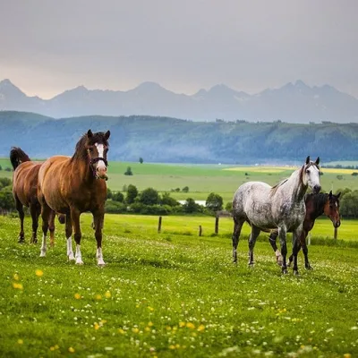 Horse ridingRanč u Trapera, Podlesok: Horse Rides in the Slovak ParadiseHrabušice17 km from the centreA little away from the main tourist bustle, below the forest, stands the family-run Ranč u Trapera, run by the Salaj family.
 Water parks & thermal poolsClimatic spas of the High Tatras: Nový Smokovec, Polianka, KotlinaVysoké Tatry17 km from the centreNový Smokovec is the best known of the climatic spas of the High Tatras. It grew up in a spruce forest at about 1010 m, south-west of Starý Smokovec, with which it...
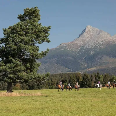 Horse ridingKone vo Východnej: horse rides below the TatrasVýchodná20 km from the centreKone vo Východnej (“Horses in Východná”) is a small family horse farm on the meadows above the village of Východná in upper Liptov, with a sweeping view of the High...
 Eco farmsFarma Východná — organic farm below the TatrasVýchodná20 km from the centreFarma Východná is the highest-lying organic farm in Liptov, at 930 m in the village of Východná right below the Tatras.
Spas and thermal pools nearby
Water parks & thermal poolsAquaCity Poprad water parkPoprad14 km from the centreAquaCity Poprad is a large year-round water park and wellness complex in the town of Poprad, a few minutes from the centre; according to the complex, the High Tatras...Water parks & thermal poolsClimatic spas of the High Tatras: Nový Smokovec, Polianka, KotlinaVysoké Tatry17 km from the centreNový Smokovec is the best known of the climatic spas of the High Tatras. It grew up in a spruce forest at about 1010 m, south-west of Starý Smokovec, with which it...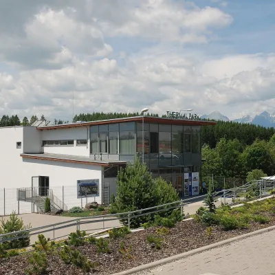 Water parks & thermal poolsThermal Park VrbovVrbov22 km from the centreThermal Park Vrbov is one of the best-known thermal baths in the Spiš region, on the southern edge of the village of Vrbov, about 6 km (as the crow flies) from...
Huts, shelters and springs nearby
Getting there from Ukraine
Border crossings
- Uzhhorod – Vyšné Nemecké — road, 24/7
- Malyi Bereznyi – Ubľa — road, 24/7 For cars and buses; pedestrians not confirmed by the Ukrainian border service, lorries up to 3.5 t.
- Mali Selmentsi – Veľké Slemence (pedestrian) — pedestrian, 09:00–21:00 Kyiv time Pedestrians and cyclists only; inconvenient for the Tatras without onward transport.
- Chop – Čierna nad Tisou (rail) — rail, 24/7
By car
Uzhhorod – Poprad ≈195 km, ≈2 h 55 min without queues: Uzhhorod – Vyšné Nemecké checkpoint → I/19 via Sobrance and Michalovce → Košice → D1 motorway via Prešov → Poprad (Liptovský Mikuláš is ≈56 km further on the D1, total ≈249 km). Košice – Poprad ≈112 km. The D1 requires an e-vignette (eznamka.sk). Note: from Lviv the fastest way to Poprad is through Poland — Krakovets – A4 – Kraków – Zakopane – Łysa Polana ≈468 km (≈5 h 50 min); via Uzhok and Malyi Bereznyi ≈419 km but slower (≈6 h 40 min). Zakopane – Poprad ≈69 km, Zakopane – Liptovský Mikuláš ≈80 km.
Checked 23.10.2026; border crossing hours and timetables change — check before you travel.
