Saddle under Doštianka – Doštianky, sheepfold
Trail map
Route, springs and shelters: © OpenStreetMap contributors (ODbL) · elevation: Copernicus DEM © DLR e.V., © Airbus DS · Data & licences
About the trail
Route Saddle under Doštianka – Doštianky, sheepfold. Has blue marking (regional route №2850, KST). Waymarking data: OpenStreetMap (© OpenStreetMap contributors, ODbL).
Officially marked regional tourist route No. 2850. Marking is blue, sign — horizontal stripe on a white background. Marked and maintained by: KST. Length of the route — 7.3 km. Location: mountain range — Low Tatras, Slovakia.
At a glance
A short route of 7.3 km with 309 m of ascent from Saddle under Doštianka to Doštianky, sheepfold. Estimated walking time: about 2.5 h, not counting stops. Difficulty: easy. Waymarking: blue.
Route stages
- 0–0.5 kmGentle ups and downs at 1,110–1,130 m
- 0.5–3 kmDescent of 220 m (down to 899 m)
- 3–6 kmGentle ups and downs at 890–960 m
- 6–7.5 kmClimb of 200 m (up to 1,165 m)
Steepest kilometre: km 6–7, a climb of 190 m (≈19%).
Water and overnight stays
Springs near the trail: at km 4.5 and 5.5.
When to go
Best time: May to October. In winter deep snow is possible, so experience and winter gear are needed.
Getting there
Start: Saddle under Doštianka. This is a one-way route: the finish is 6 km from the start in a straight line, so plan your way back in advance.
FAQ
- How long does the route take?
- Estimated walking time: about 2.5 h, not counting stops.
- Is there water on the route?
- Springs near the trail: at km 4.5 and 5.5.
Water and shelter on the route
- Škvrkovec Springkm 4.3 from the start · Not verified · 910 m
- Spring below Grúň (north-east slope), 941 mkm 5.4 from the start · Not verified · 941 m
Comments
Trails nearby
All trails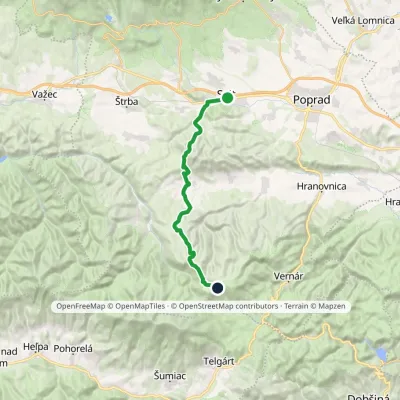 HardTwo-dayMarkedSvit, station Smrečinské SaddleElevation profile729–1 448 m24.5 kmascent 1 067 m≈ 8.5 h walking
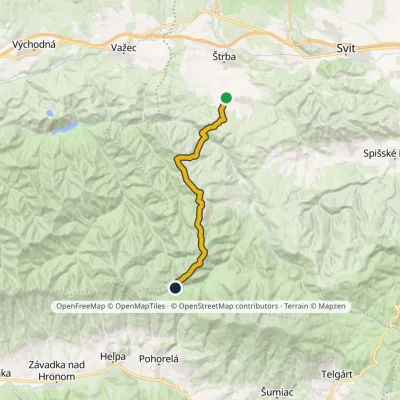 ModerateTwo-dayMarkedPred Soľankou BudnárkaElevation profile827–1 435 m18.8 kmascent 839 m≈ 6.5 h walking
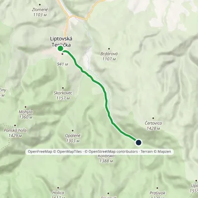 EasyOne-dayMarkedVažec, stop VýpadElevation profile908–1 016 m6.2 kmascent 145 m≈ 2 h walking
Craft nearby
All craft places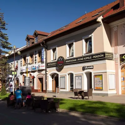 Craft beer & breweriesMinipivovar TATRAS, PopradPoprad16 km from the trailMinipivovar TATRAS is a brewpub on Poprad’s main square, Námestie sv. Egídia, housed in a building with a long brewing history.
 Water parks & thermal poolsAquaCity Poprad water parkPoprad17 km from the trailAquaCity Poprad is a large year-round water park and wellness complex in the town of Poprad, a few minutes from the centre; according to the complex, the High Tatras...
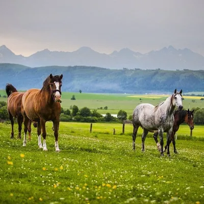 Horse ridingRanč u Trapera, Podlesok: Horse Rides in the Slovak ParadiseHrabušice17 km from the trailA little away from the main tourist bustle, below the forest, stands the family-run Ranč u Trapera, run by the Salaj family.
 Water parks & thermal poolsClimatic spas of the High Tatras: Nový Smokovec, Polianka, KotlinaVysoké Tatry21 km from the trailNový Smokovec is the best known of the climatic spas of the High Tatras. It grew up in a spruce forest at about 1010 m, south-west of Starý Smokovec, with which it...
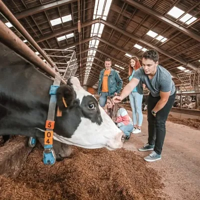 Eco farmsFarma Východná — organic farm below the TatrasVýchodná22 km from the trailFarma Východná is the highest-lying organic farm in Liptov, at 930 m in the village of Východná right below the Tatras.
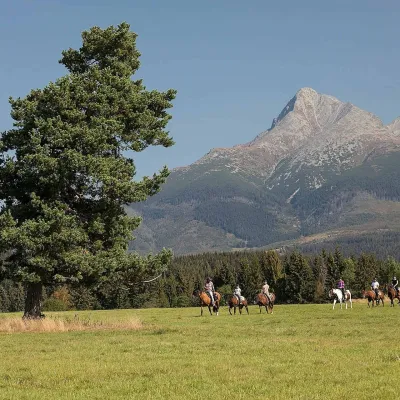 Horse ridingKone vo Východnej: horse rides below the TatrasVýchodná22 km from the trailKone vo Východnej (“Horses in Východná”) is a small family horse farm on the meadows above the village of Východná in upper Liptov, with a sweeping view of the High...
