Tsvit Yabluni


What to see nearby
The best within 10 km, as the crow flies
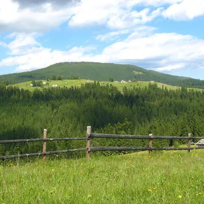 Mount MaguraPeak · 3.0 km
 Museum of History and Local LoreMuseum · 3.2 km
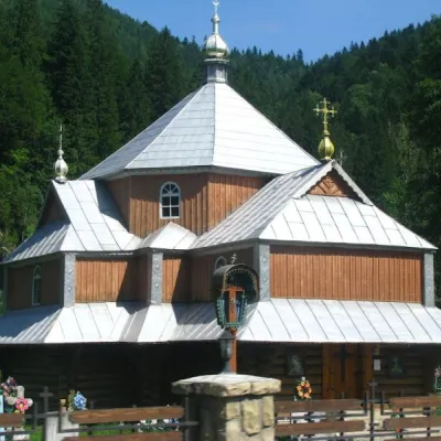 Church of St. Demetrius of ThessalonikiChurch · 3.5 km
 Church of the Nativity of the Virgin Mary XVII-XVIIIChurch · 3.6 km
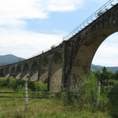 Austrian viaduct bridgeArchitecture · 4.4 km
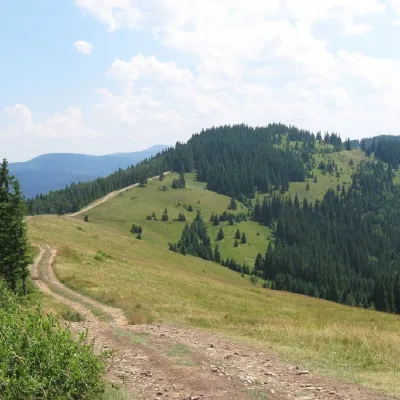 Mount LisnivPeak · 4.5 km
Trails starting within 5 km: 18
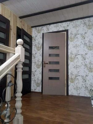
Cottage "Tsvit Yabluni" is located in the village of Tatariv, 5 minutes by car from the ski resort "Vorokhta". Guests have access to a two-story cottage designed for 6 guests, equipped with all necessary amenities. On the first floor, for the convenience of guests, there is a kitchen-living room, which includes a gas stove, microwave, refrigerator, electric kettle, sink, dishes, dining table, sofa bed, clothes rack, and television. There is also a bathroom equipped with a shower, sink, toilet, and towels. On the second floor, there are two bedrooms, each with a double bed, clothes rack, and a balcony. The bathroom on the second floor also has a shower, toilet, and sink. The cottage is equipped with uninterrupted electric power supply. On the territory of the cottage, guests have access to parking, free Wi-Fi, a barbecue grill, and barbecue utensils. Transfer services are available for an additional fee. Nearby, there is a sauna and a wellness tub. The cottage is located 15 km from Bukovel. The center of the village is 3 km from the cottage. The distance from the cottage "Tsvit Yabluni" to the Tatariv-Bukovel railway station is 4.7 km, to the Vorokhta station - 3.8 km, to the ski resort "Vorokhta" - 2.5 km, and to the waterfall on the Pyhy River - 4.9 km.
Additional places are not provided.
By train to the city of Ivano-Frankivsk, then by minibus, or by train Lviv-Rakhiv and diesel to the village of Tatariv. From the city of Ivano-Frankivsk, take the N-09 highway, in the village of Tatariv, drive along the main road, turn at the sign for the village of Vorokhta. Then drive approximately 3 km to the "Verbivskyi" stop, turn left at the bridge, and go straight for about 500 meters, after crossing the wooden bridge, turn right.
Meals are available by arrangement, or you can cook independently in the kitchen prepared for this purpose.
Location on the map
Reviews
Nearby attractions
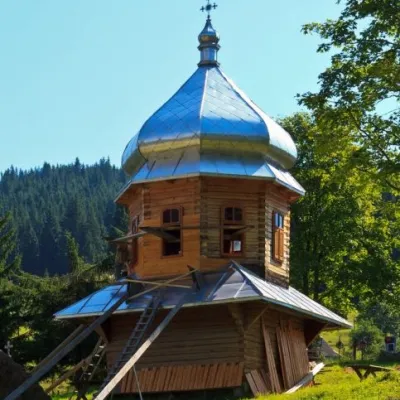 ChurchChurch of the Dormition of the Mother of God, YablunitsaYablunytsia6.9 km from Tsvit YabluniTheChurch of the Assumption of the Blessed Virgin Mary is a local landmark and is the least popular among the wooden churches in Yaremche City Council.
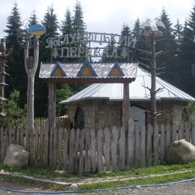 SightYablunytskyi pass, YablunytsiaYablunytsia7.9 km from Tsvit YabluniYablunytskyi Pass is a transportation artery that connects Ivano-Frankivsk and Zakarpattia regions. There are observation decks on the pass that offer a beautiful and...
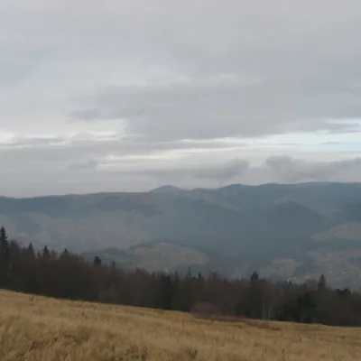 Mountain meadowPolonyna BorsuchynaVorokhtaaltitude 1 136 m8.9 km from Tsvit YabluniPolonyna Borsuchyna is located in Vorokhta, Ivano-Frankivsk region, at an altitude of 1136 meters in the Carpathians.
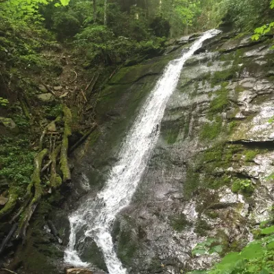 WaterfallNarinetskyi waterfall, MykulychynMykulychyn9.2 km from Tsvit YabluniNarinetskyi Waterfall is a waterfall in the Ukrainian Carpathians, on the Noretskyi Stream (a left tributary of the Zhenets River).
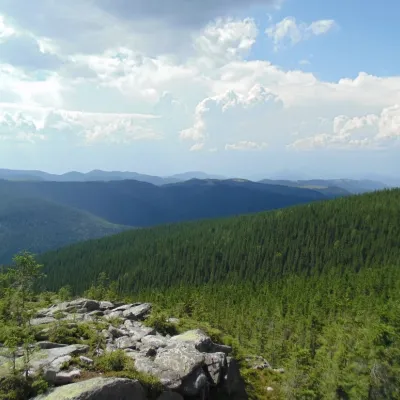 NatureKosmatska's bald headKosmach11 km from Tsvit YabluniThe name of the mountain - Lysyna Kosmatska - is partially confirmed by its appearance, because the slope of the mountain is covered with stone placers, huge slab...
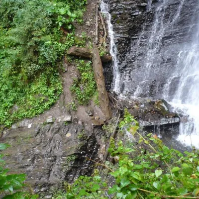 WaterfallZhenetsky Hook waterfallMykulychyn11 km from Tsvit YabluniZhenetskyi Huk is one of the most convenient Carpathian waterfalls for tourists, as it is accessible by a direct, asphalt road.
Craft nearby
All craft places Markets & fairsSouvenir Bazaar by the Ski Jumps, VorokhtaVorokhta1.9 km from Tsvit YabluniThe souvenir bazaar in Vorokhta is one of the busiest little trading spots in the mountain Hutsul region.
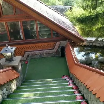 Koliby & Hutsul cuisineStara Vorokhta Restaurant, VorokhtaVorokhta3.3 km from Tsvit YabluniStara Vorokhta restaurant ("Old Vorokhta") is one of the best-known places for Hutsul food in Vorokhta: on Google Maps it is rated 4.6 from more than 6,300 reviews, a...
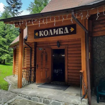 Koliby & Hutsul cuisineKoliba “Dykyi Med”, TatarivTatariv7.3 km from Tsvit YabluniThe Dykyi Med (“Wild Honey”) kolyba is the heart of a private estate of the same name in the Zhenets area of Tatariv, in a valley the locals call the Honey Valley.
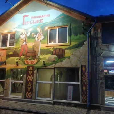 Craft beer & breweriesHirske Brewery, MykulychynMykulychyn7.4 km from Tsvit YabluniThe Hirske brewery is a small artisan brewery in Mykulychyn, on the edge of the village towards Tatariv.
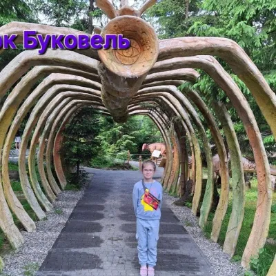 Theme parksDinoPark, Polianytsia (Bukovel)Yablunytsia8.7 km from Tsvit YabluniDinoPark in Polianytsia is an open-air dinosaur theme park at the entrance to Bukovel resort. It is easy to spot from the road: a huge dinosaur figure stands right by...
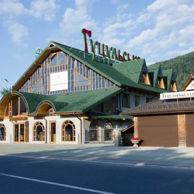 Craft beer & breweriesHutsulske Brewery, MykulychynMykulychyn9.6 km from Tsvit YabluniThe Hutsulske brewery in Mykulychyn is one of the oldest private breweries in the Carpathians, brewing beer for more than twenty years right on the road between...
Peaks nearby
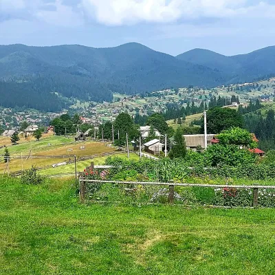 PeakMount OseredokVorokhtaaltitude 915 m · Chornohora range5.6 km from Tsvit Yabluni1 trail to the topOseredok is a modest 915 m summit right above Vorokhta (about 2 km), north of the Chornohora range, in Ivano-Frankivsk Oblast.
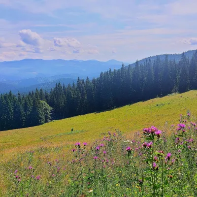 PeakMount Kychera (Vorokhta)Vorokhtaaltitude 1 225 m · Chornohora range8.2 km from Tsvit YabluniKychera is a 1,225 m summit north of the Chornohora range, in Ivano-Frankivsk Oblast. It lies between Vorokhta (about 4.5 km) and Mount Kukul (1,539 m), about 3.2 km...
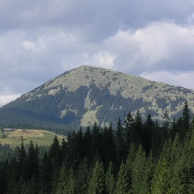 PeakMount KhomiakTatarivaltitude 1 542 m · Chornohora range8.9 km from Tsvit Yabluni40 trails to the topKhomiak (1542 m) is a cone-shaped peak of the Gorgany range above Tatariv and Polianytsia; a statue of the Virgin Mary stands on its rocky top.
Trails nearby
All trails HardMulti-dayVerkhovyna to Tatariv villagevia Mount Bila Kobyla, Mount KhordeElevation profile612–1 475 m38.3 kmascent 1 876 m≈ 13.5 h walking1.8 km from Tsvit Yabluni
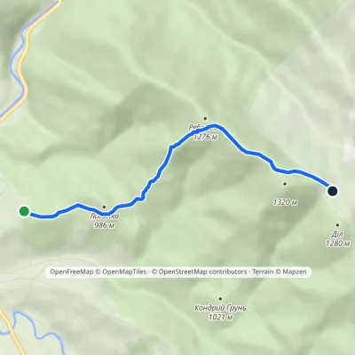 EasyOne-dayMarkedVorokhta Dil polonynaElevation profile901–1 298 m4 kmascent 397 m≈ 2 h walking2 km from Tsvit Yabluni
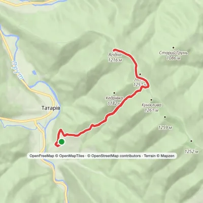 ModerateOne-dayMarkedTatariv village loopvia Mount Lisniv, Mount YahidnaElevation profile744–1 233 m11.3 kmascent 579 m≈ 4 h walking2.3 km from Tsvit Yabluni
