Ťažký štít
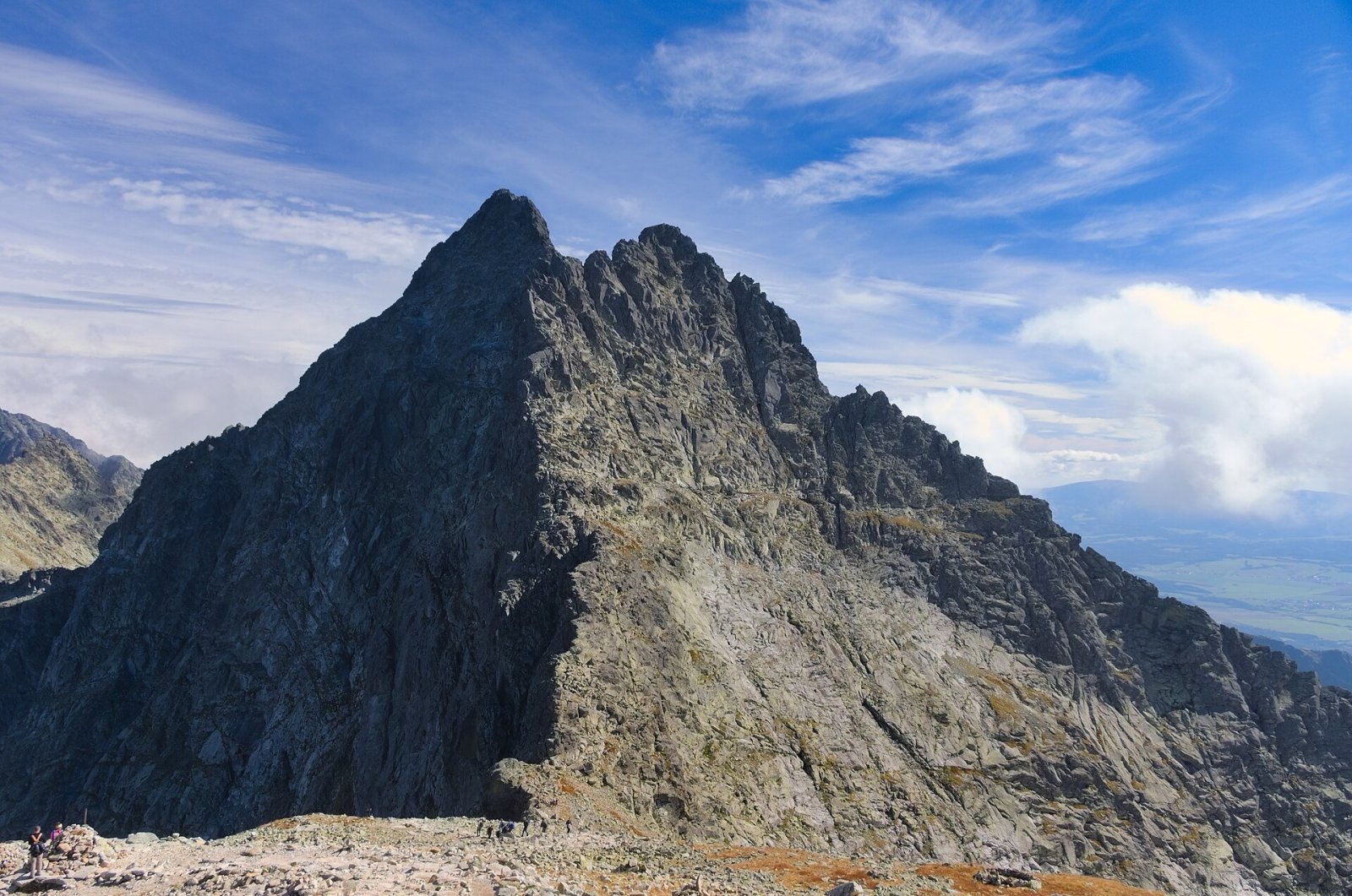
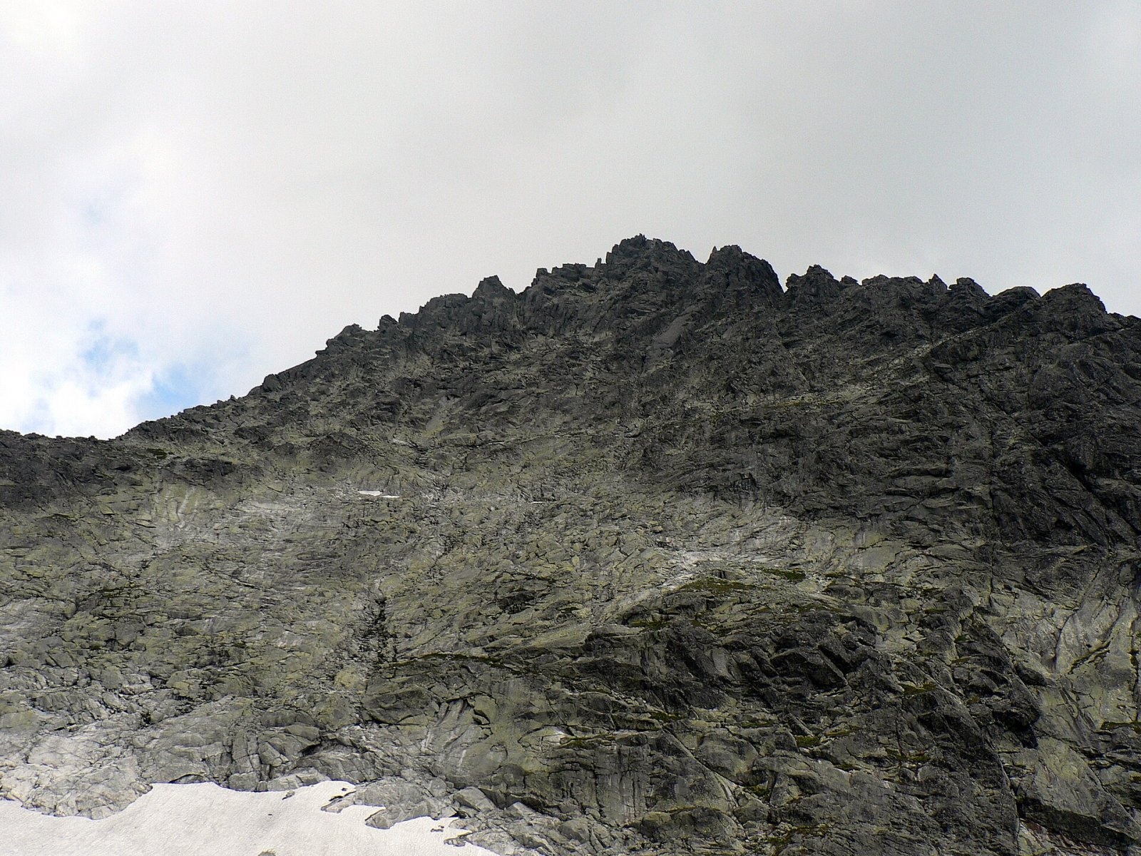
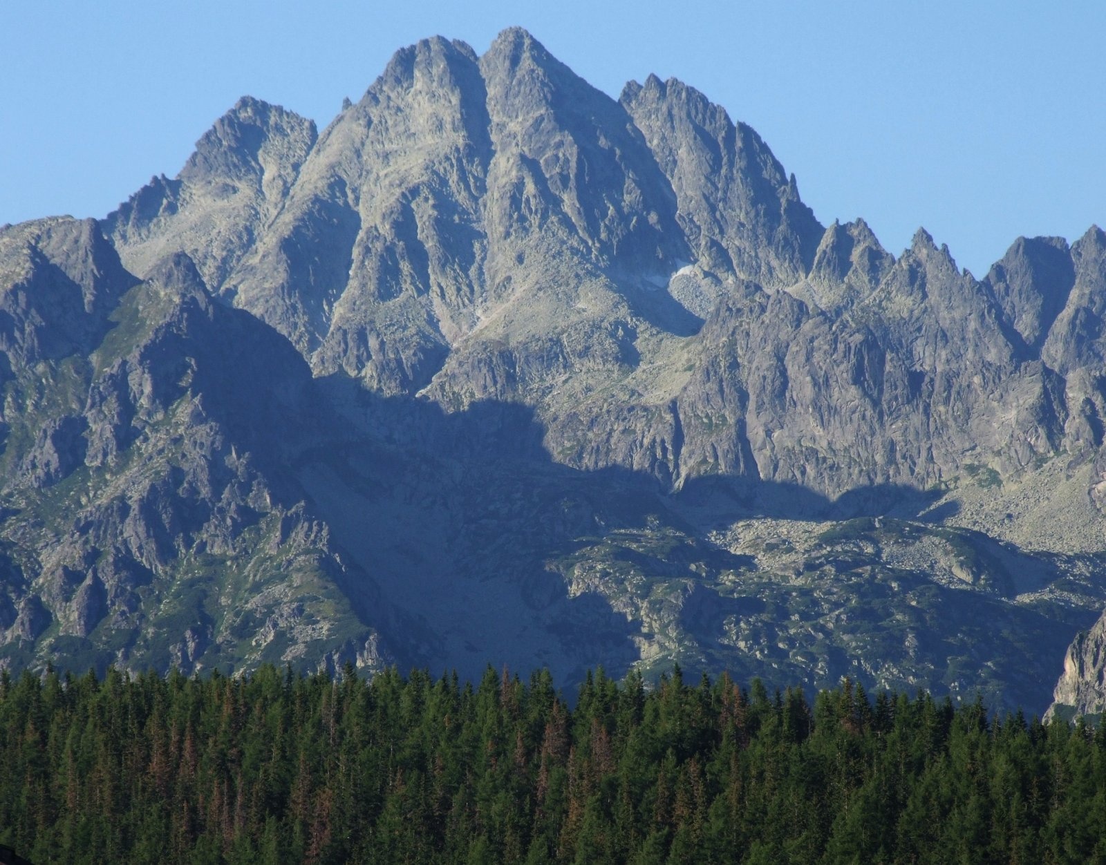
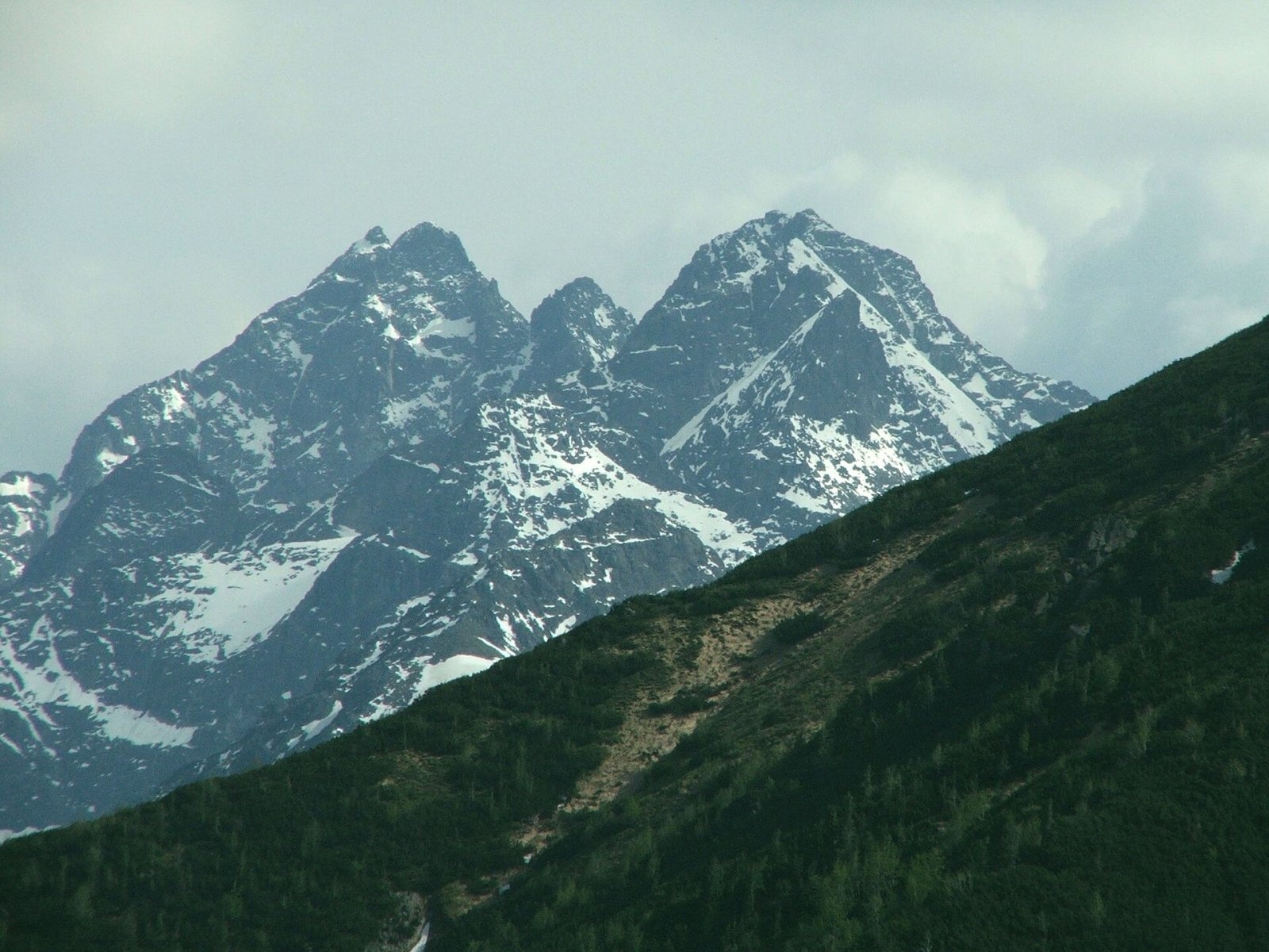
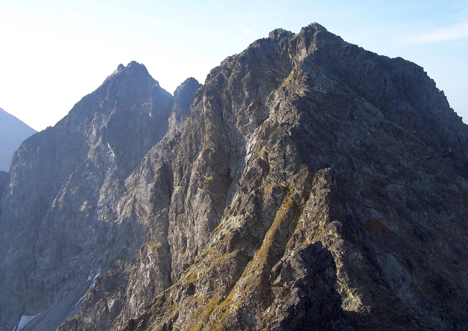
Ťažký štít (Polish Ciężki Szczyt, German Martin-Róth-Spitze, Hungarian Róth Márton-csúcs; until 2006 officially Český štít) is a rock peak about 2500 m high on the main ridge of the High Tatras in Slovakia. Together with the twin-topped Vysoká (2547 m) and Dračí štít it forms a group known as the "Crown of Vysoká". Ťažký štít lies between Rysy (2503 m) to the north and Vysoká to the south-east, above the Dračia dolinka valley and the resort of Štrbské Pleso, about 17 km north-west of Poprad. The sedlo Váha saddle (about 2337 m), reachable by a marked trail, separates it from Rysy, and the Štrbina pod Ťažkým štítom notch from Vysoká. The summit belongs to the Prešov Region, Poprad District; the nearest settlements are Štrbské Pleso (6 km south) and Vyšné Hágy.
Sources give different heights: Slovak measurements 2500 m, Polish Wikipedia 2510 m, older sources 2520 m.
How to get there / routes
No marked trail leads to the summit. It lies in Tatra National Park (TANAP) on the boundary of the Bielovodská dolina and Mengusovská dolina national nature reserves, so it may only be climbed under the park's rules for climbers or with a licensed mountain guide.
- Nearest marked trail – the red trail from Popradské pleso up the Mengusovská dolina past the Chata pod Rysmi hut to sedlo Váha and on to Rysy. From the saddle the summit of Ťažký štít is only about 280 m away in a straight line, but this is already rock terrain.
- The normal climbing route comes from the south, from the Dračia dolinka (grade II on the Tatra scale). The first visitors, Ernst Dubke and the guide Johann Franz senior, climbed from sedlo Váha up the north-west ridge (II–III) on 7 July 1904.
- Climbers are drawn above all to the 400 m north-east face above the Ťažká dolina, first climbed on 27 August 1932 by Wiesław Stanisławski and a partner. Most of the route is graded very difficult (V) and counts among the finest in the High Tatras. The 220 m west face drops into the busy hollow below sedlo Váha.
What you can see from the top
The rocky summit offers an all-round panorama: many peaks and valleys of the High Tatras, the northern part of the Belianske Tatras ridge and, further away, the Low Tatras, Poľana, the Greater Fatra ridge, the Orava Beskids and many mountains in southern Poland. Close by stand Rysy, Gánok and Rumanov štít, and to the south Vysoká, Končistá and Tupá.
Nature and history
The northern walls drop into the Ťažká dolina, drained by the Biela voda river to the Dunajec; to the south lies the Dračia dolinka, whose water reaches the Poprad river via the Ľadový and Batizovský streams. A long side ridge with Kôpky (about 2354 m) runs south-west from the summit, separating the valley of the Žabie plesá lakes from the Dračia dolinka.
The name comes from the Ťažká dolina valley. Highland shepherds from Jurgów, Čierna Hora, Repisko and Lendak, who grazed cattle here as early as the 17th century, called the hard-to-reach valley "čenška" – "heavy, difficult" – in their dialect. The Tatra explorer Juraj Buchholtz wrote it down as "do Ceszkého", and in 1830 the Prussian geographer Albrecht von Sydow translated it as Böhmisches Tal – "Bohemian Valley". This mistranslation gave rise to the names Český štít, Česká dolina and České pleso; only in 2006 did the Slovak naming commission officially rename the peak Ťažký štít. The German and Hungarian names were given in 1888 by František Dénes in honour of Professor Martin Róth, a prominent Tatra figure.
Safety, season and rules
This is high-mountain rock terrain with no path: brittle rock, snow in the gullies into summer, rapid weather changes and summer thunderstorms. TANAP's high-mountain trails, including the red trail to Chata pod Rysmi and sedlo Váha, are closed every year from 1 November to 31 May. Off the marked trails you may move only under the park's rules for climbers; without climbing experience go only with a licensed mountain guide. Check the current rules on the TANAP website before you go. Slovak Mountain Rescue Service (HZS): 18 300 (+421 18 300); general emergency number 112.
Interesting facts
- Mistranslated names are common in the Tatras, but Slovakia has officially corrected only the group of "Bohemian" names around the Ťažká dolina.
- The first winter ascent was made by the Hungarian climbers Károly Lajos Horn and Ernő Kátai on 23 March 1913.
- In the 19th century German and Hungarian authors simply called the peak the "northern satellite of Vysoká".
Photos: Adrian Tync, CC BY-SA 4.0; Krzysztof Dudzik-Górnicki (User:ToSter), CC BY-SA 3.0; Jerzy Opioła, CC BY-SA 4.0; Opioła Jerzy, CC BY-SA 3.0; Adam Opioła, CC BY-SA 4.0 — Wikimedia Commons.
Getting there from Ukraine
Border crossings
- Uzhhorod – Vyšné Nemecké — road, 24/7
- Malyi Bereznyi – Ubľa — road, 24/7 For cars and buses; pedestrians not confirmed by the Ukrainian border service, lorries up to 3.5 t.
- Mali Selmentsi – Veľké Slemence (pedestrian) — pedestrian, 09:00–21:00 Kyiv time Pedestrians and cyclists only; inconvenient for the Tatras without onward transport.
- Chop – Čierna nad Tisou (rail) — rail, 24/7
By car
Uzhhorod – Poprad ≈195 km, ≈2 h 55 min without queues: Uzhhorod – Vyšné Nemecké checkpoint → I/19 via Sobrance and Michalovce → Košice → D1 motorway via Prešov → Poprad (Liptovský Mikuláš is ≈56 km further on the D1, total ≈249 km). Košice – Poprad ≈112 km. The D1 requires an e-vignette (eznamka.sk). Note: from Lviv the fastest way to Poprad is through Poland — Krakovets – A4 – Kraków – Zakopane – Łysa Polana ≈468 km (≈5 h 50 min); via Uzhok and Malyi Bereznyi ≈419 km but slower (≈6 h 40 min). Zakopane – Poprad ≈69 km, Zakopane – Liptovský Mikuláš ≈80 km.
Checked 23.10.2026; border crossing hours and timetables change — check before you travel.
Location on the map
Water and shelter nearby
- Hut under Rysy340 m · Standing · 2 250 m
- Rumanov potok Spring1.3 km · Not verified · 1 934 m
- Spring below Zlomisková veža (south-east slope), 1 861 m1.5 km · Not verified · 1 861 m
- Spring below Zlomisková veža (south-east slope), 1 836 m1.5 km · Not verified · 1 836 m
- Spring below Zlomisková veža (south-east slope), 1 835 m1.6 km · Not verified · 1 835 m
- Spring below Ostrva (north slope)2 km · Not verified · 1 634 m
- Spring below Mengusovský Volovec2 km · Not verified · 1 977 m
- Spring below Ostrva (north-west slope)2.1 km · Not verified · 1 559 m
- Spring below Zadná Ostrva (north slope), 1 514 m2.2 km · Not verified · 1 514 m
- Spring below Zadná Ostrva (north slope), 1 509 m2.2 km · Not verified · 1 509 m
- Spring below Zadná Ostrva (north slope), 1 506 m2.2 km · Not verified · 1 506 m
- Popradské Pleso Mountain Hotel2.2 km · Standing · 1 494 m
- Majláth Hut2.3 km · Standing · 1 500 m
- Spring below Kazalnica Mięguszowiecka2.4 km · Not verified · 1 884 m
- Spring below Apostoły2.9 km · Not verified · 1 411 m
Comments
Trails nearby
All trails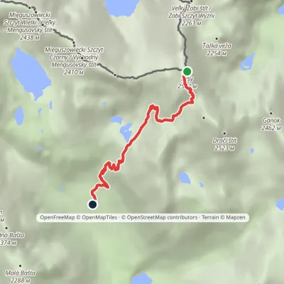 HardOne-dayMarkedJunction at Žabí potok RysyElevation profile1 626–2 501 m4.3 kmascent 875 m≈ 3 h walkingunder 1 km from Ťažký štít
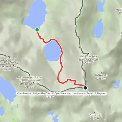 HardOne-dayMarkedMorskie Oko Rysyvia Czarny StawElevation profile1 401–2 501 m3.4 kmascent 1 100 m≈ 3 h walkingunder 1 km from Ťažký štít
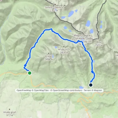 HardTwo-dayMarkedTri studničky, old forester's lodge Popradské Pleso, stopElevation profile1 105–2 142 m21.4 kmascent 1 142 m≈ 7.5 h walking1.9 km from Ťažký štít
Nearby attractions
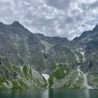 PeakRysyaltitude 2 501 munder 1 km from Ťažký štít2 trails to the topRysy (German Meeraugspitze, Hungarian Tengerszem-csúcs) is a mountain on the main ridge of the High Tatras, on the border between Poland and Slovakia.
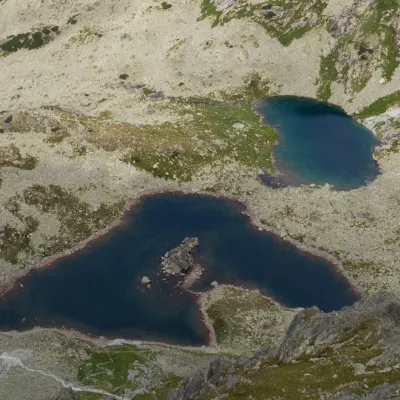 LakeŽabie plesá Mengusovské (Frog Tarns)Vyšné Hágy1.1 km from Ťažký štítŽabie plesá Mengusovské (the Frog Tarns) are three glacial lakes in Kotlina Žabích plies, the upper storey of Mengusovská dolina in the Slovak High Tatras, within...
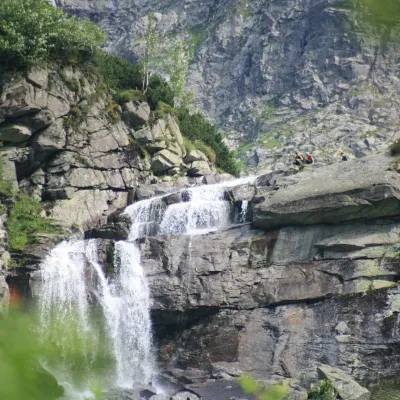 WaterfallCzarnostawiańska Siklawa (Black Lake Falls)2.3 km from Ťažký štítCzarnostawiańska Siklawa (Black Lake Falls) is a cascading waterfall in the Polish High Tatras, in the Rybi Potok Valley (Dolina Rybiego Potoku) inside Tatra National...
Craft nearby
All craft places Cheese dairies & pasturesShepherd's Hut on Rusinowa PolanaBrzegi9.9 km from Ťažký štítRusinowa Polana is one of the most beautiful mountain glades in the Polish Tatras, and from May to October it is home to the bacówka (shepherd's hut) of baca Stanisław...
 Water parks & thermal poolsClimatic spas of the High Tatras: Nový Smokovec, Polianka, KotlinaVysoké Tatry10 km from Ťažký štítNový Smokovec is the best known of the climatic spas of the High Tatras. It grew up in a spruce forest at about 1010 m, south-west of Starý Smokovec, with which it...
 Cheese dairies & pasturesFurtek's Shepherd's Huts, Kuźnice and KalatówkiZakopane14 km from Ťažký štítAbove Kuźnice — the southern edge of Zakopane where most hikes into the Western and High Tatras begin — the flocks are tended by baca Andrzej Staszel, nicknamed "Furtek".
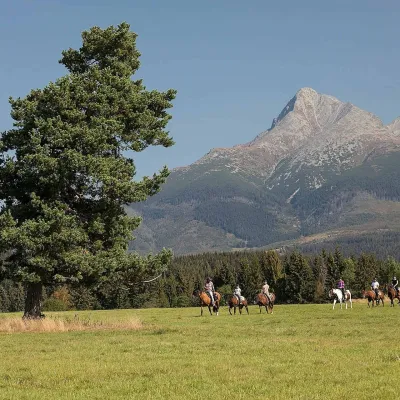 Horse ridingKone vo Východnej: horse rides below the TatrasVýchodná15 km from Ťažký štítKone vo Východnej (“Horses in Východná”) is a small family horse farm on the meadows above the village of Východná in upper Liptov, with a sweeping view of the High...
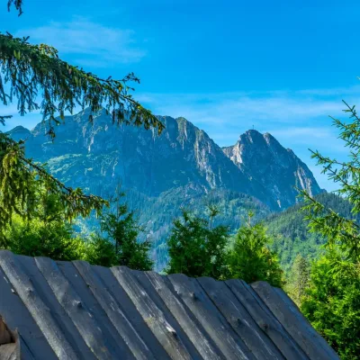 Koliby & Hutsul cuisineBąkowo Zohylina Wyźnio Highland TavernZakopane15 km from Ťažký štítBąkowo Zohylina Wyźnio is a regional highland tavern in Zakopane housed in a wooden "szałas" (shepherd-hut-style building) with a view of the Tatras.
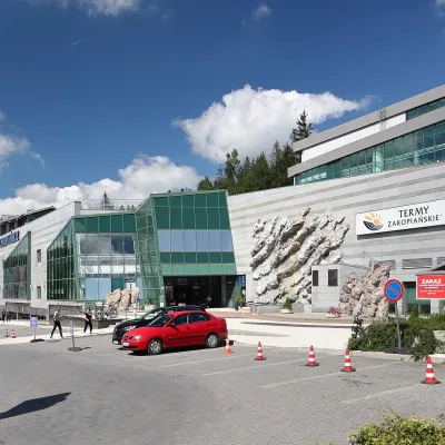 Water parks & thermal poolsTermy Zakopiańskie (Aqua Park Zakopane)Zakopane16 km from Ťažký štítTermy Zakopiańskie is a thermal water park right in Zakopane, on Jagiellońska Street, only a kilometre from Krupówki.
