Bukovets
Kalush district · Ivano-Frankivsk region


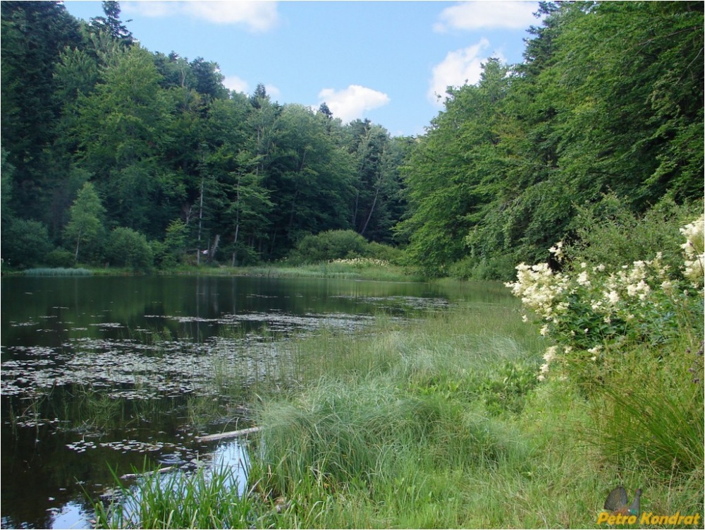
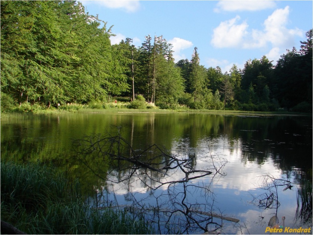
Bukovets is a village in the Bolekhiv City Council of Ivano-Frankivsk Oblast. It is located in the east of Ivano-Frankivsk region within the Prykarpattia region and in the valley of the Sukil River, and there are numerous tourist attractions around the village.
The village of Bukovets is located in the hollow of the mountain river Sukil (which flows in the middle of the village). The village is located not far from the town of Bolekhiv (15 kilometers northeast of its center), and borders the villages of: Trukhaniv (in the Lviv region) and Kozakivka (in the south), and Polianytsia (in the north). Living in a mountainous area, most of the villagers work in the forestry and farms, and also have the opportunity to work at the enterprises of Bolekhiv.
The fate of the village is closely intertwined with the neighboring village of Polianytsia, which is the administrative center of this district. In the late XVIII - early XIX centuries, a hamlet was founded by German colonists on the so-called "chamber (state) lands" and named Yamerstal. The settlement is located in a picturesque valley between the villages of Polianytsia and Kozakivka. The Sukil river flows not far from the village. The first settlers were engaged in logging, private farming, and built a tartak, a sawmill. An elementary school and a church were opened for the needs of the settlement in the 20s of the XX century. Education and worship were conducted in German. Among the Germans, the only Ukrainian family living here was that of Mykola Dmytrovych Dubiv.
In 1939-1940, according to the Molotov-Ribbentrop Pact, the Germans left the village. The vacant houses left by the Germans were inhabited by large families from Polianytsia. In 1954-1956 the church and the tartak were dismantled. The tartak was later used as an auxiliary farm of the Bolekhiv timber mill. The church and club were located in the neighboring village of Polianytsia.
In 2000, the church of St. Peter and Paul was opened by the community. The village has two grocery stores, a wood processing plant, and a sawmill, which is currently experiencing difficult times. There are 44 yards in the village, where 170 people live. The village is surrounded by picturesque mountains. At a distance of 7 kilometers from the village there is a natural monument "Mountain Polyanytske or Dead Lake". From there, on foot or on horseback, you can reach Mount Klyuch, the site of the battle between the Ukrainian Sich Riflemen and units of the Russian army in 1914.

What's nearby
What to visit
Landmarks, museums and places of interest near Bukovets.
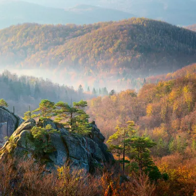 NaturePolianytsia Regional Landscape ParkPolianytsia2.7 km from the centreThe 1070-hectare Polyanets Regional Landscape Park was established in 1996 on the territory of the Polyanets Forestry of the Bolekhiv State Forestry in the eastern...
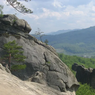 NatureDovbush Rocks in the Village of BubnysheBubnyshche4.2 km from the centreThe complex "Dovbush Rocks" is a natural monument of national significance, a unique monument of history and architecture from the early Middle Ages.
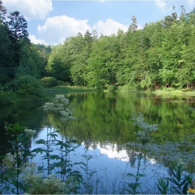 LakeMountain Polyanytske Lake (Dead Lake)Bukovets4.3 km from the centreMountain Lake (another name - Dead Lake) is a picturesque mountain lake of natural origin in the Ukrainian Carpathians (the Skole Beskids massif).
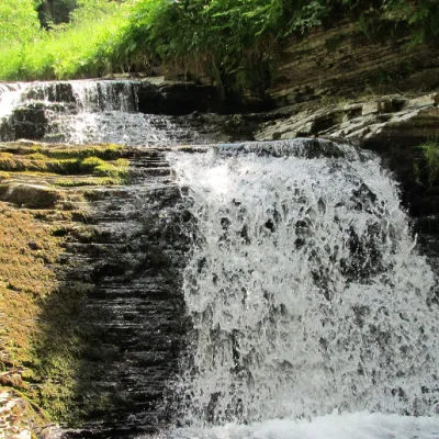 WaterfallSukil WaterfallsSukil4.5 km from the centreNear the village of Sukil in the Bohorodchany urban hromada, the Sukil Waterfalls are truly a paradise for tourists and guests.
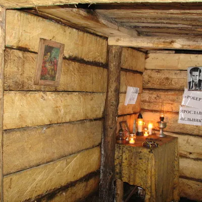 Historic siteRobert's Bunker on Mount Yavoryna near the village of LipaDolyna district6.9 km from the centreYaroslav (Robert) Melnyk was born in Berezhnytsia, Kalush district. He studied at the Rohatyn Gymnasium from 1937 to 1939, from which he was expelled for belonging to...
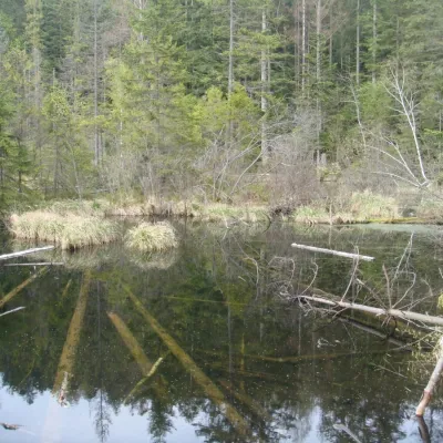 LakeLake Zhuravlyne (Dead Lake)Kamianka8.8 km from the centreThere is one mysterious place in the Skole Beskydy National Nature Park - Zhuravlyne Lake, also called Dead Lake.
Craft nearby
All craft places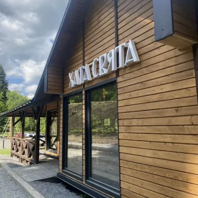 Koliby & Hutsul cuisineKhata Sviata Restaurant, HrebenivHrebeniv16 km from the centreKhata Sviata restaurant is a small timber restaurant in the village of Hrebeniv between Skole and Slavske, serving Boyko cooking in a modern way but with respect for...
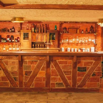 Honey & meaderiesChorna Bdzhola Meadery, VyhodaVyhoda18 km from the centreChorna Bdzhola (“Black Bee”) in Vyhoda is a small, cosy meadery in the Kalush district of the Ivano-Frankivsk region, where you can learn how drinking mead was...
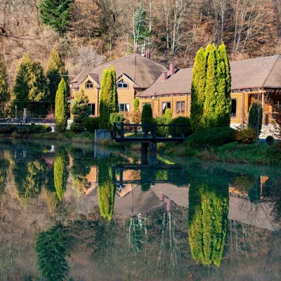 Koliby & Hutsul cuisineZolota Forel restaurant, KorostivKorostiv19 km from the centreZolota Forel (“Golden Trout”) is a restaurant and hotel complex in the village of Korostiv near Skole, right beside the Kyiv–Chop highway.
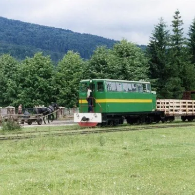 Heritage transportCarpathian TramVyhoda19 km from the centreIn 1873, Austrian entrepreneur Baron Leopold Popper von Podgari moved the headquarters of his company from Hungary to Galicia.
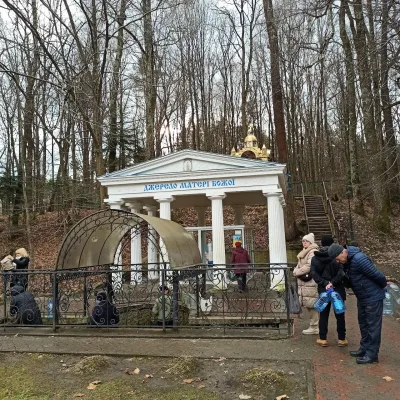 Theme parksSpring No. 4 of the Mother of God, MorshynMorshyn21 km from the centreSpring No. 4, also known as the Spring of the Mother of God, is Morshyn’s most famous mineral spring and probably the resort’s best-loved spot.
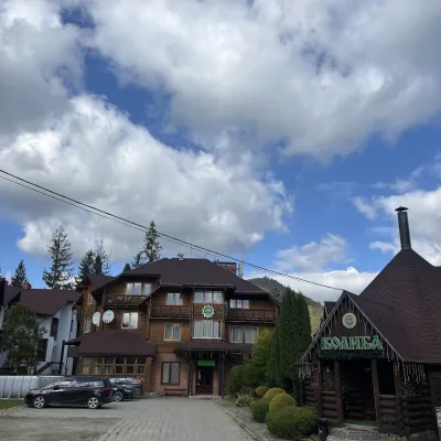 Koliby & Hutsul cuisineKoliba “Smerekova Khata”, SlavskeSlavske23 km from the centreKolyba “Smerekova Khata” is the ethno-restaurant of the hotel complex of the same name at the entrance to Slavske, one of the best-known mountain resorts of the Boyko...
Where to stay
Hotels, sadybas and cottages in and around Bukovets.
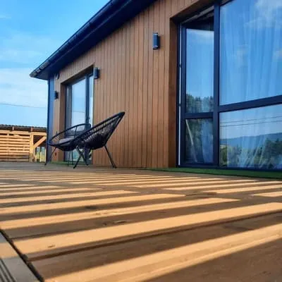 CottageRest House 2023Skole6.8 km from the centreHot tubPoolBBQNearby: Mt Klyuch 3.3 kmMountain Polyanytske Lake 4.2 km2 trailsfrom 4 800 UAH per night
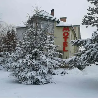 MotelVikinh-KarpatySkole12 km from the centreSaunaBBQParkingNearby: Church of St. George 3.0 kmKamianka waterfall 9.0 kmfrom 1 600 UAH per night
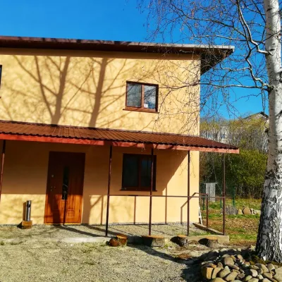 SadybaGuest House "Pisnya Karpat" DubynaDubyna12 km from the centreBBQKitchenParkingNearby: Kamianka waterfall 3.5 kmLake Zhuravlyne 3.5 km25 trails
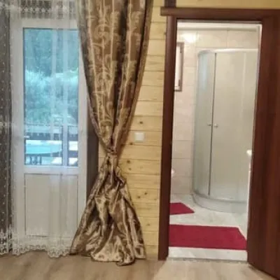 HotelSonata KarpatSkole12 km from the centreHot tubPoolBBQNearby: Kamianka waterfall 3.1 kmLake Zhuravlyne 3.6 km26 trailsfrom 1 000 UAH per night
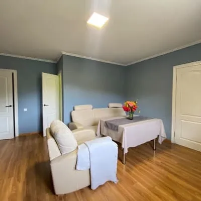 HotelZWIN ApartmentsSkole12 km from the centreBBQParkingWi‑FiNearby: Kamianka waterfall 3.1 kmLake Zhuravlyne 3.6 km26 trailsfrom 1 650 UAH per night
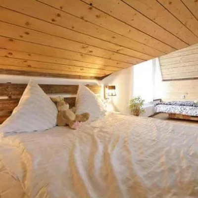 HotelArt D`ecoSkole13 km from the centreBBQParkingWi‑FiNearby: Gredl Palace 2.8 kmKamianka waterfall 3.3 km26 trailsfrom 1 320 UAH per night
Trails nearby
All trails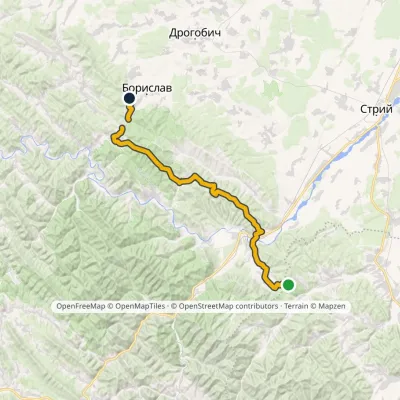 HardMulti-dayMarkedNo. 11 Boryslav Dovbush RocksElevation profile365–852 m48.2 kmascent 1 462 m4.1 km from the centre
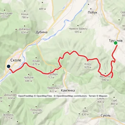 ModerateTwo-dayTrukhaniv village to Skolevia Mount Kliuch, Lake Zhuravlyne +1Elevation profile437–927 m18.8 kmascent 772 m≈ 6 h walking4.3 km from the centre
 ModerateTwo-dayLybokhora village to Kozakivka villagevia Mount MatahivElevation profile583–1 217 m22.4 kmascent 700 m≈ 7 h walking5.1 km from the centre
Peaks nearby
All peaks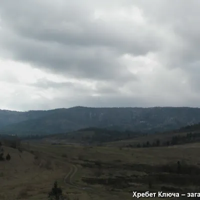 PeakMount YavorinkaTrukhanivaltitude 940 m4.8 km from the centre1 trail to the topThe top of Mount Yavorinka is 940 meters above sea level. Mount Yavorinka is the highest peak of the Klyucha ridge, steep from the north and completely forested.
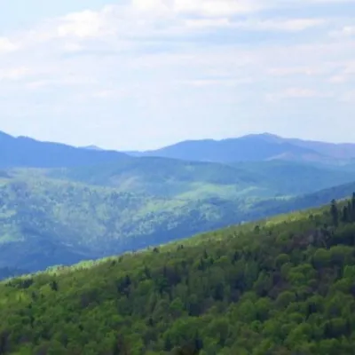 PeakMount KlyuchKamiankaaltitude 927 m · Skole Beskids range6.3 km from the centre1 trail to the topMount Klyuch is one of the peaks of the ridge in the Skole Beskydy, which starts from the Sukel River (Bukivets village of Bolekhiv City Council) and closes the valley...
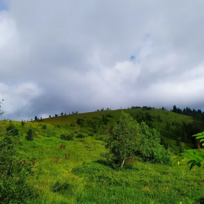 PeakMount YavorinaIvano-Frankivskaltitude 1 131 m9.4 km from the centreMount Yavorina is located near the village of Lypa in the Dolyna district of Ivano-Frankivsk region, with a height of 1131 meters.
