Čierny Balog
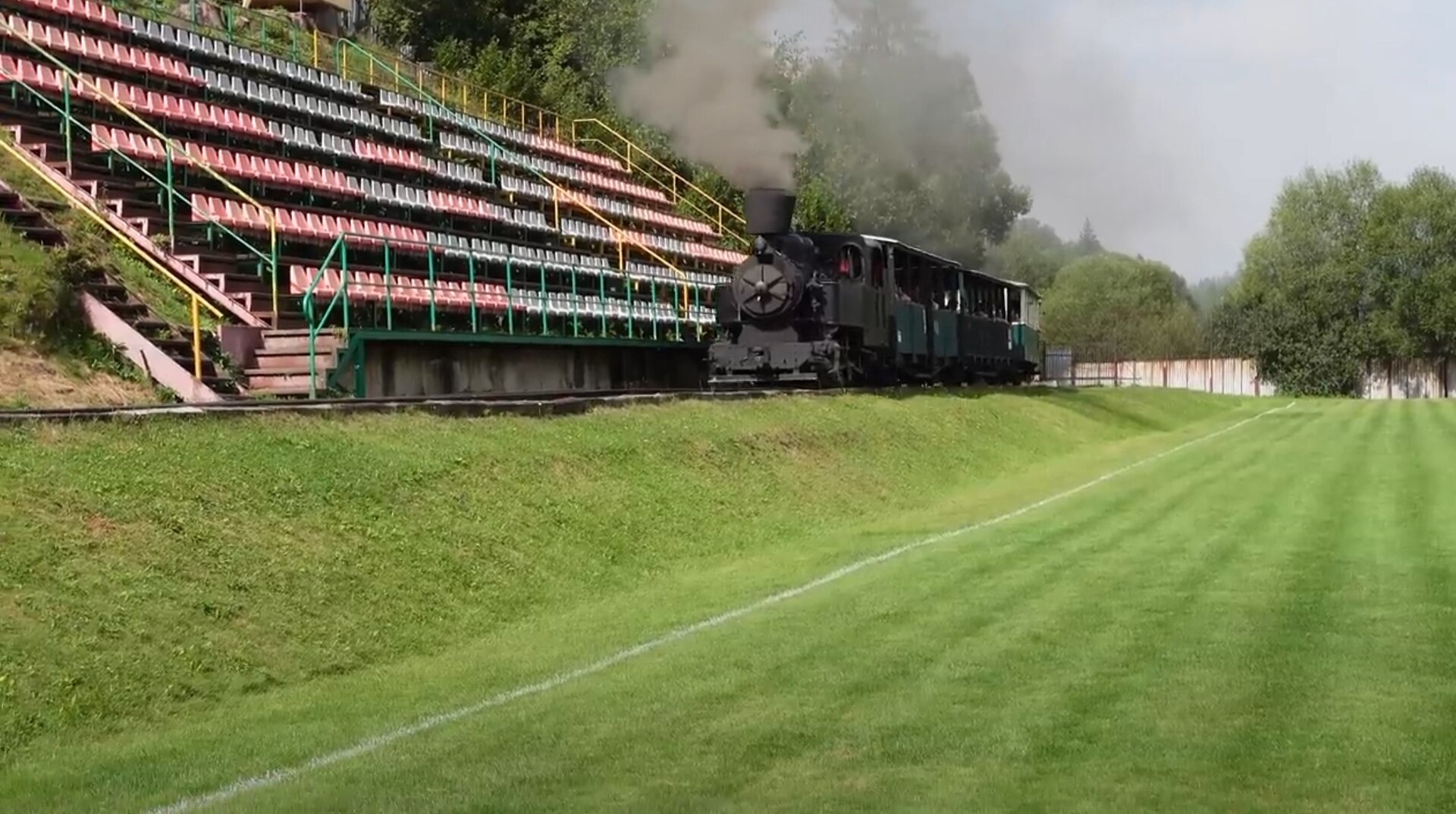
Photos: Draceane, CC BY-SA 4.0 (Wikimedia Commons); peter.adamka, CC BY-SA 3.0 (Wikimedia Commons); Vladimír Držík, CC BY 3.0 (Wikimedia Commons); Vladimír Držík, CC BY 3.0 (Wikimedia Commons); Fcstmani, CC BY 4.0 (Wikimedia Commons); Fcstmani, CC BY 4.0 (Wikimedia Commons)
Čierny Balog is a village in the Brezno District of the Banská Bystrica Region, Slovakia. It lies at an elevation of 555 metres in the scenic Slovak Ore Mountains, within the upper basin of the Čierny Hron river. The area is surrounded by valleys and peaks, including the nearby Klenovský Vepor, and is traversed by streams such as Brotovo, Pidtajchovsky Potok, Šaling, and Veľká Dolina.
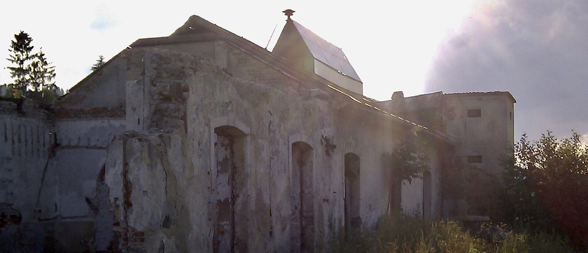
The first written mention of settlement in this area dates to 1607, when Emperor Rudolf II issued a decree to regulate the timber industry. Čierny Balog was formed in 1888 by merging thirteen villages, including Balog, Krám, Dobroč, Dolina, Fajtov, Jánošovka, Jergov, Komov, Látky, Medveďov, Pustô, Vydrovo, and Závodie. Until 1918, it was part of Austria-Hungary (Zólyom County). During World War II, Čierny Balog played a role as a centre of the Slovak National Uprising.
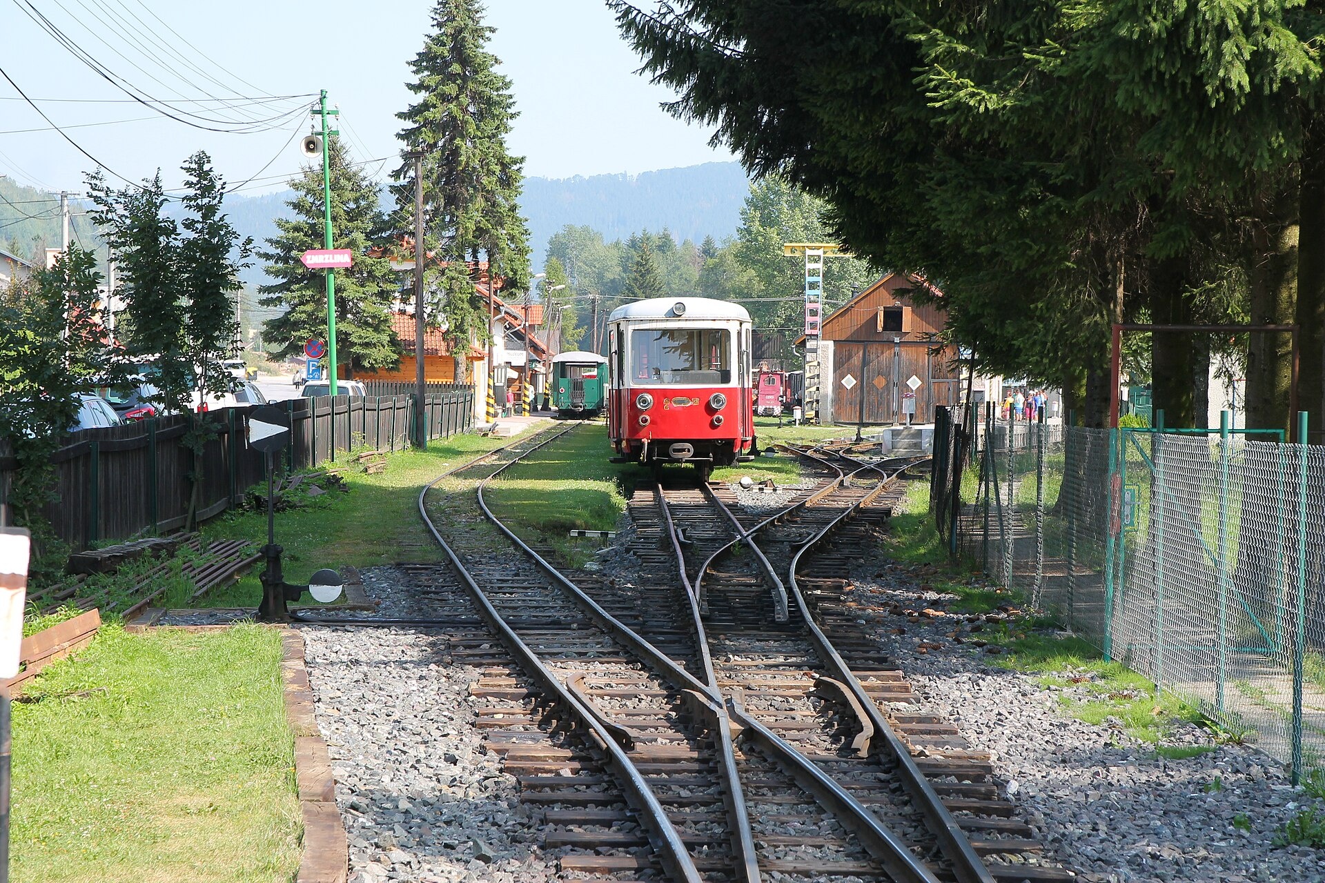
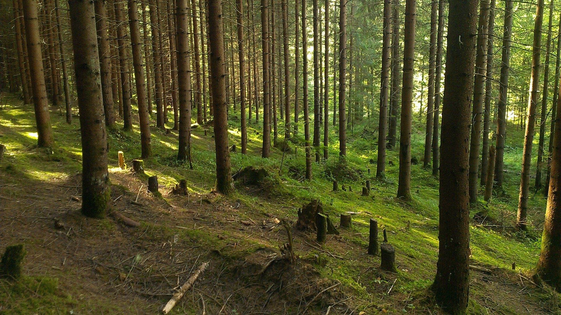
Čierny Balog is known for its rich natural and cultural heritage. The Čierny Hron Railway and the Dobroč Primeval Forest are among its highlights, along with the open-air Forest Museum Vydrovo. The area is also notable for its sporting traditions, including the local football clubs TJ Tatran Čierny Balog and ŠK Partizán Čierny Balog. The landscape features peaks such as Klenovský Vepor and Fabova hoľa.
Visitors can explore numerous hiking trails, such as Benuš – Čertovica, motel; Kopce – Čertjaž, crossroads; Utekáč, stop – Sedlo Pereš – Tri Chotáre; Zbojská – Nižná Kľaková; Baňová – Pohronská Polhora. Notable sights include Bystrianska Cave, the Čierny Hron Railway, and the Forest Museum Vydrovo. For mountain enthusiasts, ascents of Klenovský Vepor and Fabova hoľa are rewarding options.
Getting there from Ukraine
From Uzhhorod to Brezno ≈274 km, ≈3 h 50 min without queues: Uzhhorod – Vyšné Nemecké → I/19 to Košice → D1 via Prešov and Poprad to the exit near Liptovský Hrádok → I/18 and I/72 over the Čertovica Pass to Brezno. To Banská Bystrica ≈322 km, ≈4 h 30 min: D1 to Ružomberok, then I/59 via Donovaly. From Lviv: to Brezno via Uzhok and Ubľa ≈498 km (≈7 h 45 min) or through Poland ≈554 km (≈7 h 05 min); to Banská Bystrica through Poland (Kraków – Chyżne – Trstená – Dolný Kubín – Ružomberok) ≈535 km, ≈7 h 15 min. The D1 requires an e-vignette (eznamka.sk).
Sources: Wikipedia, Wikidata, OpenStreetMap, Karpaty.rocks data. More on Wikipedia
Trails nearby
All trails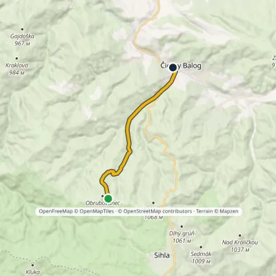 EasyOne-dayMarkedČierny Balog, Závodie ObrubovanecElevation profile539–994 m9.2 kmascent 7 m≈ 2.5 h walkingunder 1 km from the centre
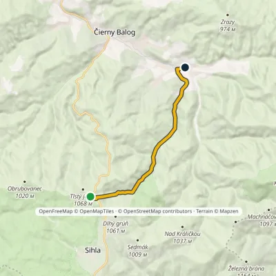 EasyOne-dayMarkedDobroč Tlstý javorElevation profile566–1 038 m9.1 kmascent 14 m≈ 2.5 h walking3.2 km from the centre
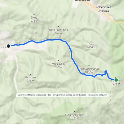 EasyOne-dayMarkedDobroč MachniarkaElevation profile569–1 046 m10.7 kmascent 3 m≈ 2.5 h walking3.4 km from the centre
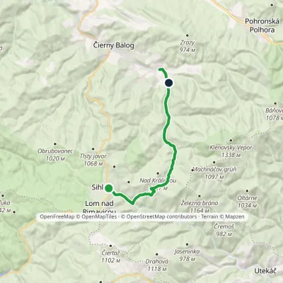 ModerateOne-dayMarkedDobroč SihlaElevation profile569–951 m14.5 kmascent 205 m≈ 4 h walking3.4 km from the centre
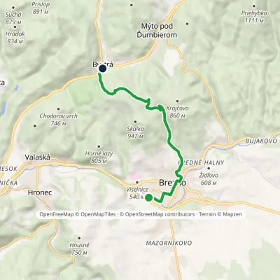 EasyOne-dayMarkedBrezno Bystrá, stationElevation profile488–858 m9.3 kmascent 370 m≈ 3 h walking6.4 km from the centre
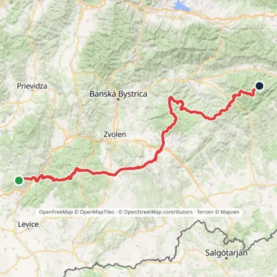 HardMulti-dayMarkedRudná magistrála: Veľký Inovec KadakElevation profile196–1 458 m195.4 kmascent 6 404 m7.2 km from the centre
Peaks nearby
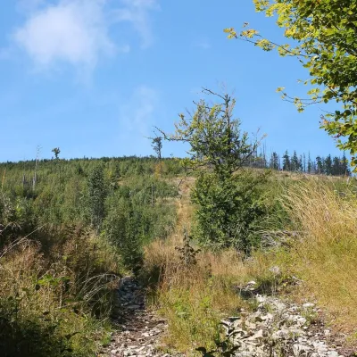
All peaks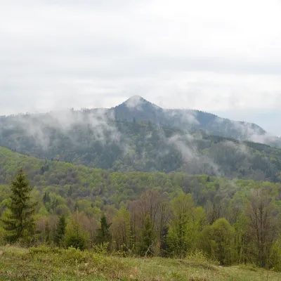 PeakKlenovský VeporPohronská Polhoraaltitude 1 338 m10 km from the centreKlenovský Vepor is a massive 1338.2 m summit in the Veporské vrchy, part of the Slovak Ore Mountains. It is the second-highest summit of the Veporské vrchy and the...
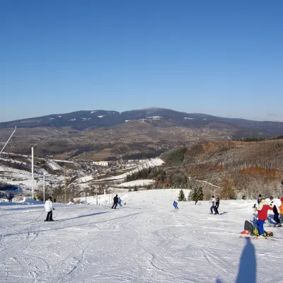
 PeakFabova hoľaPohronská Polhoraaltitude 1 439 m17 km from the centreFabova hoľa (Polish Fabowa Hala) is the highest summit of the Vepor Mountains (1439 m), part of the Slovak Ore Mountains.
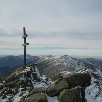
 PeakPoľanaHriňováaltitude 1 458 m18 km from the centrePoľana is a 1457.8 m summit, the highest point of the mountain massif of the same name in central Slovakia.
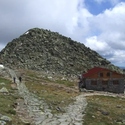
 PeakĎumbierDemänovská Dolinaaltitude 2 046 m21 km from the centreĎumbier (Polish Dziumbier, Hungarian Gyömbér) is the highest peak of the Low Tatras at 2,046 m (2,043 m on older maps).
 PeakChopokDemänovská Dolinaaltitude 2 024 m23 km from the centreChopok (2,024 m) is a summit in the central Low Tatras in Slovakia and the third-highest peak of the range after its neighbours Ďumbier (2,046 m) and Štiavnica (2,025 m).
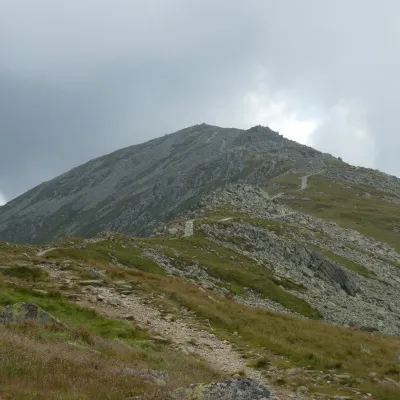 PeakDerešeDemänovská Dolinaaltitude 2 004 m23 km from the centreDereše (Polish Deresze, Hungarian Deres) is a 2004 m summit on the main ridge of the Slovak Low Tatras.
What to visit
All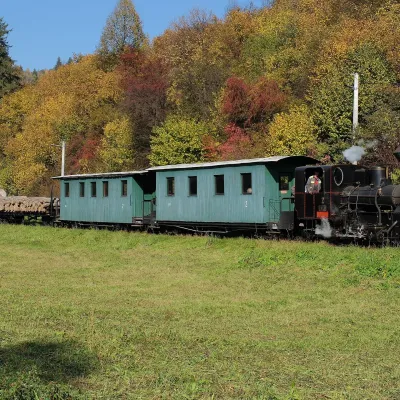 Historic siteČierny Hron Forest RailwayČierny Balogunder 1 km from the centreThe Čierny Hron Railway (Čiernohronská železnica, ČHŽ) is a historic 760 mm narrow-gauge forest railway in the village of Čierny Balog in the Horehronie region.
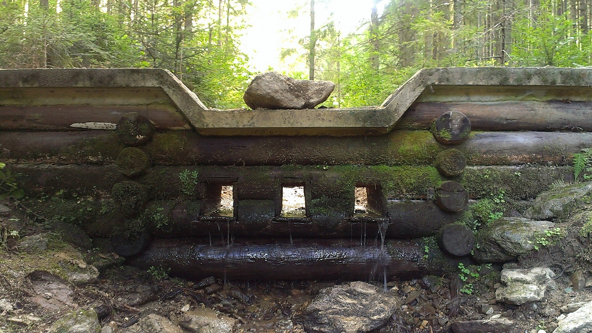
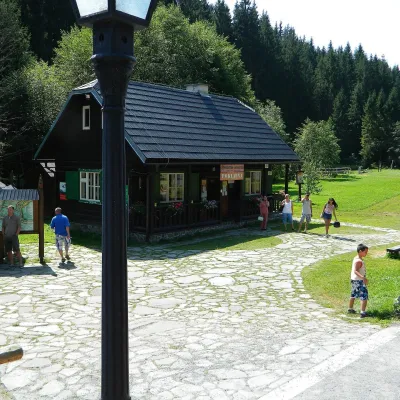 MuseumVydrovo Forestry Open-Air MuseumČierny Balog1.9 km from the centreThe Vydrovo Forestry Open-Air Museum (Lesnícky skanzen Vydrovo) is devoted to the forest and the work of foresters.
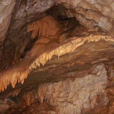 NatureBystrianska CaveValaská12 km from the centreBystrianska Cave (Bystrianska jaskyňa) is the most important cave of the Horehronie valley on the southern side of the Low Tatras.
 Cheese dairies & pasturesSalaš Zbojská: sheep’s cheese, bryndza and žinčica on the passTisovec14 km from the centreThe Zbojská pass lies at about 740 metres in the forests between Brezno and Tisovec, on the edge of the Hron valley and the Muránska planina plateau.
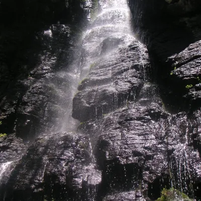 WaterfallBystrô waterfall on the Poľana volcanoHriňová19 km from the centreThe Bystrý potok waterfall (Vodopád Bystrého potoka), known locally simply as Bystrô or Bystré, is one of the best-known waterfalls in central Slovakia.
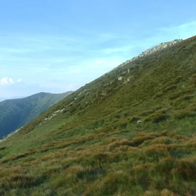 Mountain meadowHole of the Low Tatras between Chopok and ChabenecLaziskoaltitude 1 890 m24 km from the centreThe highest section of the grassy main ridge of the Low Tatras (Nízke Tatry) runs west from Chopok (2,024 m), reached by cable cars from the Jasná resort, over Dereše ...
Craft nearby
All craft places
Spas and thermal pools nearby
Huts, shelters and springs nearby
Getting there from Ukraine
Border crossings
- Uzhhorod – Vyšné Nemecké — road, 24/7
- Malyi Bereznyi – Ubľa — road, 24/7 For cars and buses; pedestrians not confirmed by the Ukrainian border service, lorries up to 3.5 t.
- Mali Selmentsi – Veľké Slemence (pedestrian) — pedestrian, 09:00–21:00 Kyiv time Pedestrians and cyclists only; inconvenient for the Tatras without onward transport.
- Chop – Čierna nad Tisou (rail) — rail, 24/7
By car
From Uzhhorod to Brezno ≈274 km, ≈3 h 50 min without queues: Uzhhorod – Vyšné Nemecké → I/19 to Košice → D1 via Prešov and Poprad to the exit near Liptovský Hrádok → I/18 and I/72 over the Čertovica Pass to Brezno. To Banská Bystrica ≈322 km, ≈4 h 30 min: D1 to Ružomberok, then I/59 via Donovaly. From Lviv: to Brezno via Uzhok and Ubľa ≈498 km (≈7 h 45 min) or through Poland ≈554 km (≈7 h 05 min); to Banská Bystrica through Poland (Kraków – Chyżne – Trstená – Dolný Kubín – Ružomberok) ≈535 km, ≈7 h 15 min. The D1 requires an e-vignette (eznamka.sk).
Checked 23.10.2026; border crossing hours and timetables change — check before you travel.
