Brezno
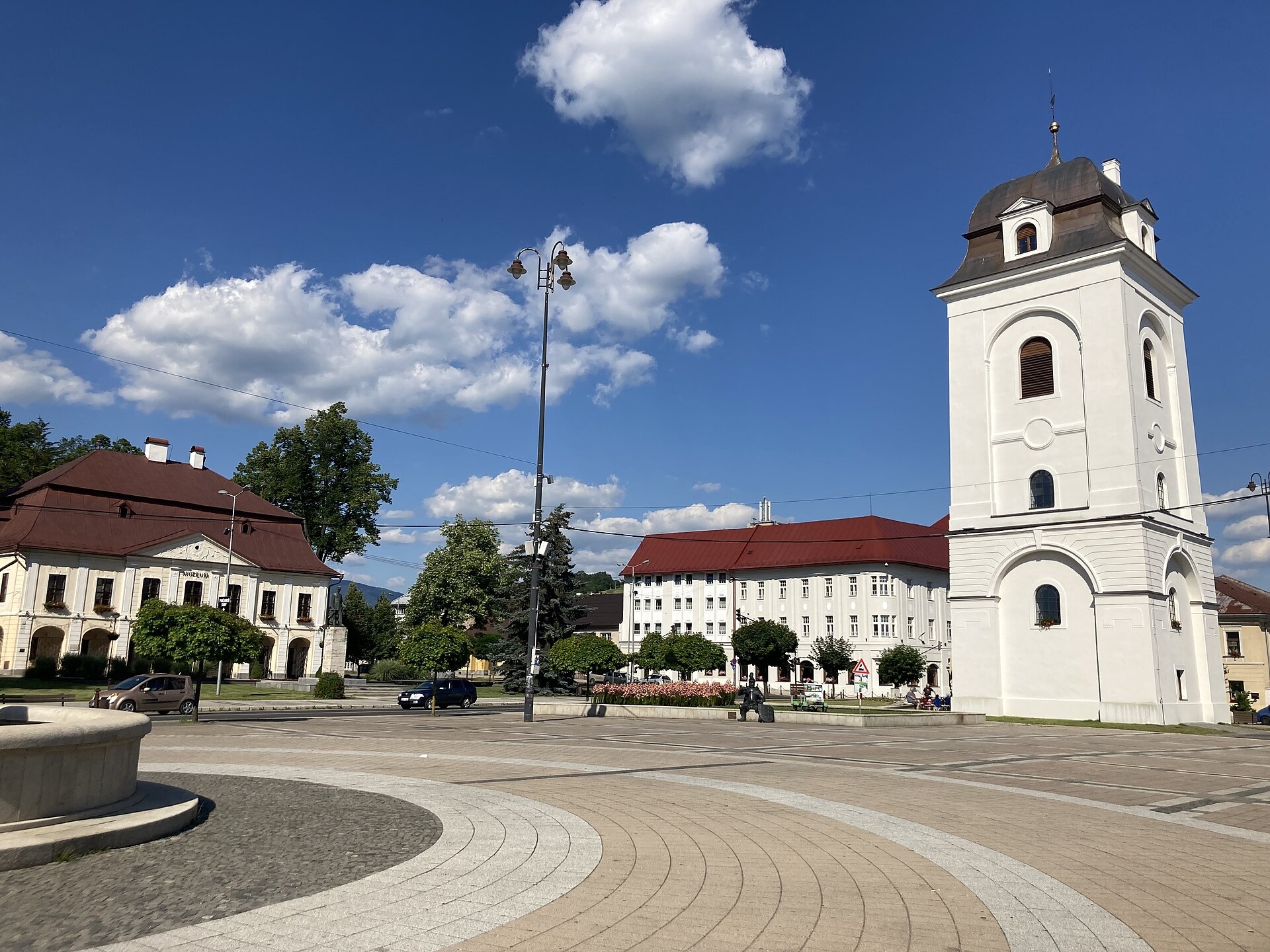
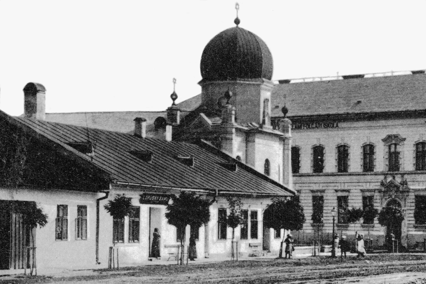
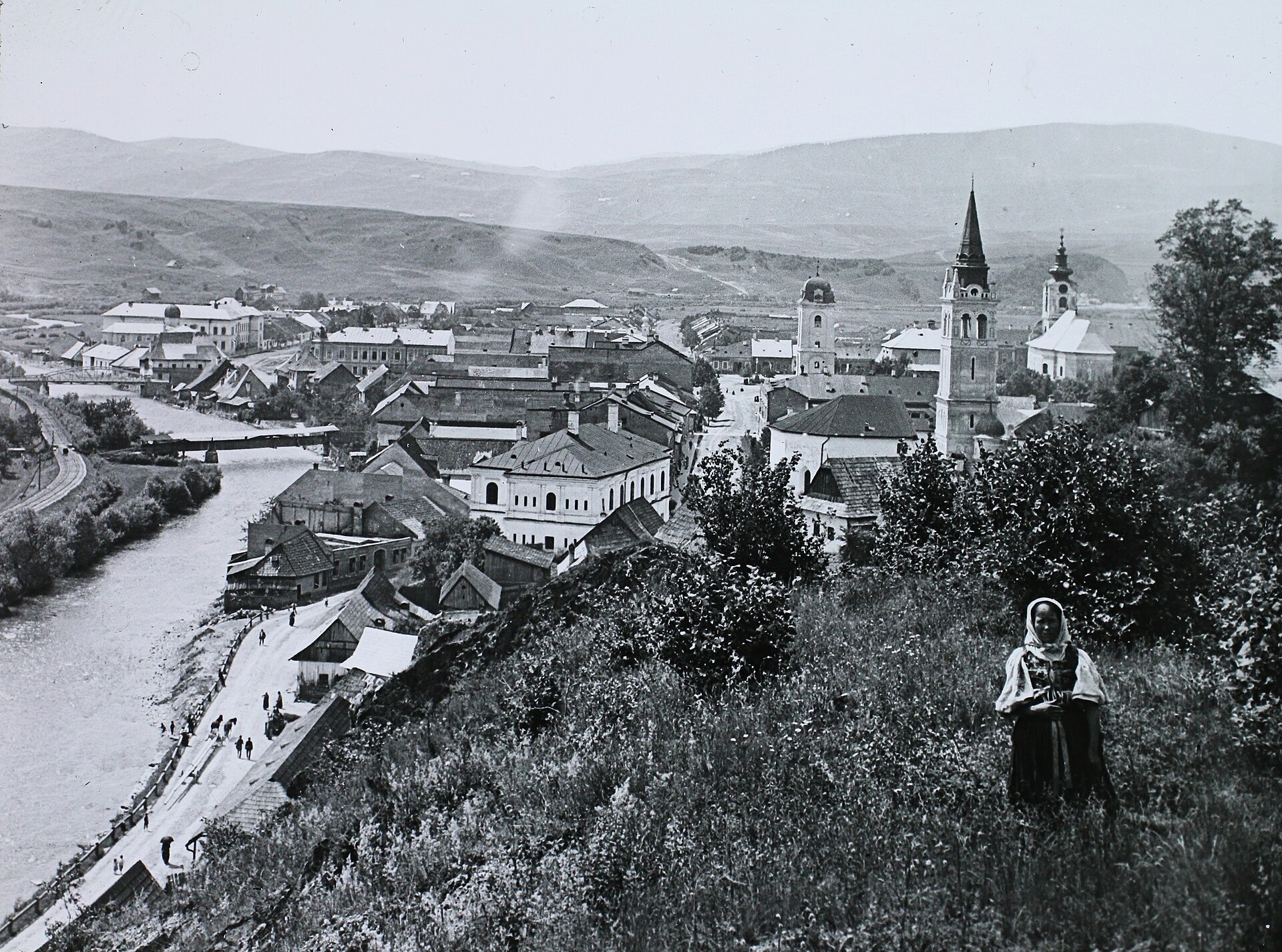
Photos: Mišino Čech, CC0 (Wikimedia Commons); Unknown authorUnknown author, Public domain (Wikimedia Commons); FOTO:Fortepan — ID 95141: Adományozó/Donor: Magyar Földrajzi Múzeum / Diagyűjtemény., Public domain (Wikimedia Commons)
Brezno is a town in Slovakia.
Elevation: about 504 m above sea level. Population: 19,577 (2025). Mountains nearby: Low Tatras.
Here and nearby on the site: 2 trails.
Facts: Wikidata, OpenStreetMap. More on Wikipedia
What's nearby
Trails nearby
All trails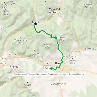 EasyOne-dayMarkedBrezno Bystrá, stationElevation profile488–858 m9.3 kmascent 370 m≈ 3 h walkingunder 1 km from the centre
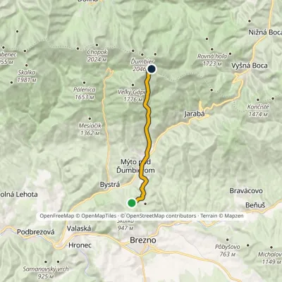 ModerateOne-dayMarkedDiel Hut of Gen. M.R.ŠtefánikElevation profile655–1 726 m12.5 kmascent 1 071 m≈ 5.5 h walking3.3 km from the centre
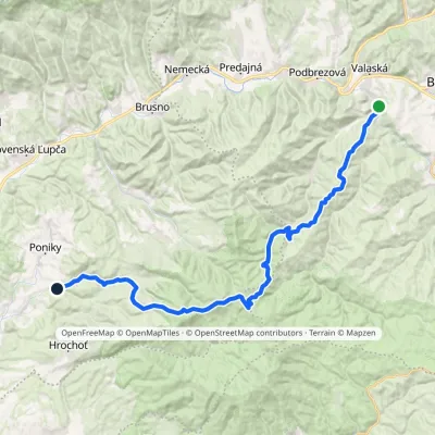 HardMulti-dayMarkedPonická Huta HronecElevation profile484–1 245 m35.7 kmascent 1 143 m≈ 11 h walking4.4 km from the centre
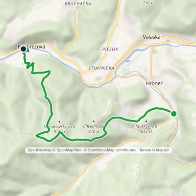 EasyOne-dayMarkedPodbrezová HronecElevation profile460–915 m9 kmascent 431 m≈ 3 h walking4.4 km from the centre
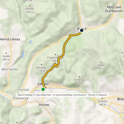 EasyOne-dayMarkedValaská, stop Bystrá, stationElevation profile473–708 m5.5 kmascent 244 m≈ 2 h walking4.6 km from the centre
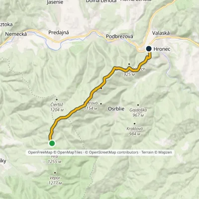 ModerateOne-dayMarkedChvatimech Sedlo pod Hrbom, hutElevation profile473–1 172 m13.3 kmascent 233 m≈ 4 h walking5.8 km from the centre
Peaks nearby
All peaks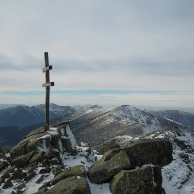 PeakĎumbierDemänovská Dolinaaltitude 2 046 m15 km from the centreĎumbier (Polish Dziumbier, Hungarian Gyömbér) is the highest peak of the Low Tatras at 2,046 m (2,043 m on older maps).
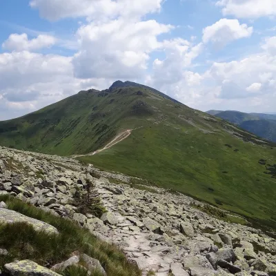 PeakKrúpova hoľaDemänovská Dolinaaltitude 1 922 m15 km from the centreKrúpova hoľa is a 1922 m rocky peak on the main ridge of the Low Tatras (Nízke Tatry) in Slovakia. It lies in the highest, Ďumbier part of the range, above Demänovská...
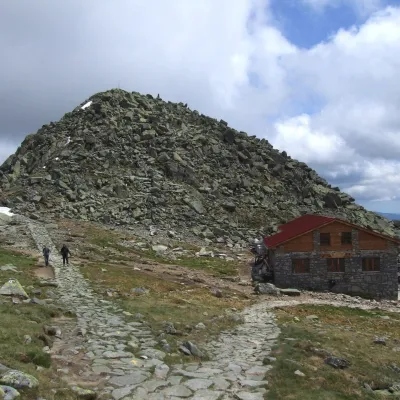 PeakChopokDemänovská Dolinaaltitude 2 024 m16 km from the centreChopok (2,024 m) is a summit in the central Low Tatras in Slovakia and the third-highest peak of the range after its neighbours Ďumbier (2,046 m) and Štiavnica (2,025 m).
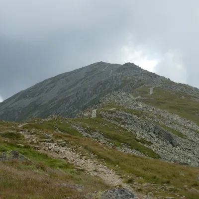 PeakDerešeDemänovská Dolinaaltitude 2 004 m16 km from the centreDereše (Polish Deresze, Hungarian Deres) is a 2004 m summit on the main ridge of the Slovak Low Tatras.
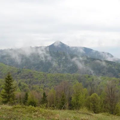 PeakKlenovský VeporPohronská Polhoraaltitude 1 338 m16 km from the centreKlenovský Vepor is a massive 1338.2 m summit in the Veporské vrchy, part of the Slovak Ore Mountains. It is the second-highest summit of the Veporské vrchy and the...
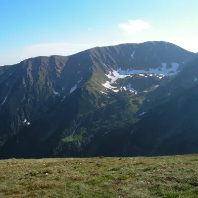 PeakSkalkaDemänovská Dolinaaltitude 1 980 m16 km from the centreSkalka (Polish Skałka) is a 1980 m summit in the Low Tatras in Slovakia. It is the fifth-highest peak of the range and the second highest of those lying off the main...
What to visit
All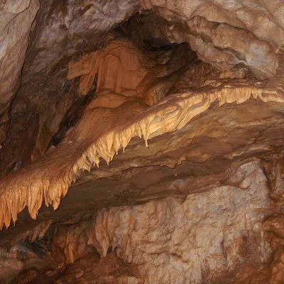 NatureBystrianska CaveValaská5.1 km from the centreBystrianska Cave (Bystrianska jaskyňa) is the most important cave of the Horehronie valley on the southern side of the Low Tatras.
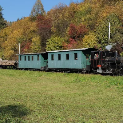 Historic siteČierny Hron Forest RailwayČierny Balog6.7 km from the centreThe Čierny Hron Railway (Čiernohronská železnica, ČHŽ) is a historic 760 mm narrow-gauge forest railway in the village of Čierny Balog in the Horehronie region.
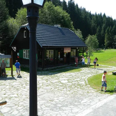 MuseumVydrovo Forestry Open-Air MuseumČierny Balog8.1 km from the centreThe Vydrovo Forestry Open-Air Museum (Lesnícky skanzen Vydrovo) is devoted to the forest and the work of foresters.
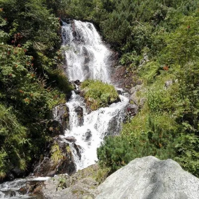 WaterfallVajskovský vodopád (Vajskovský Waterfall)Demänovská Dolina16 km from the centreVajskovský vodopád is a cascading waterfall in the upper part of the Vajskovská dolina on the southern side of the Low Tatras, within the Low Tatras National Park ...
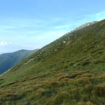 Mountain meadowHole of the Low Tatras between Chopok and ChabenecLaziskoaltitude 1 890 m17 km from the centreThe highest section of the grassy main ridge of the Low Tatras (Nízke Tatry) runs west from Chopok (2,024 m), reached by cable cars from the Jasná resort, over Dereše ...
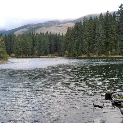 LakeVrbické pleso in the Demänovská valleyDemänovská Dolina19 km from the centreVrbické pleso is the largest natural lake in the Low Tatras. It lies at 1,113 m in the upper western part of the Demänovská dolina, on the right-hand slope of the side...
Craft nearby
All craft places Cheese dairies & pasturesSalaš Zbojská: sheep’s cheese, bryndza and žinčica on the passTisovec17 km from the centreThe Zbojská pass lies at about 740 metres in the forests between Brezno and Tisovec, on the edge of the Hron valley and the Muránska planina plateau.
 Water parks & thermal poolsBrusno Spa: mineral springs, treatments and Caracalla SpaBrusno18 km from the centreBrusno Spa (Kúpele Brusno) lies in the Hron valley (Horehronie), about 20 km north-east of Banská Bystrica, on the northern slopes of the Vepor massif in the Slovak...
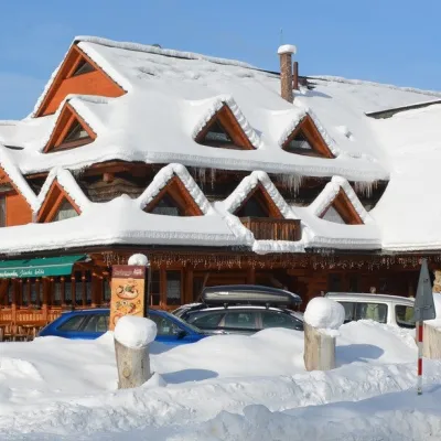 Koliby & Hutsul cuisineKoliba Strachanovka, Jánska valleyLiptovský Ján26 km from the centreKoliba Strachanovka (Jánska koliba) is a large wooden koliba at the entrance to the Jánska valley in the village of Liptovský Ján, which locals consider one of the...
Spas and thermal pools nearby
Water parks & thermal poolsBrusno Spa: mineral springs, treatments and Caracalla SpaBrusno18 km from the centreBrusno Spa (Kúpele Brusno) lies in the Hron valley (Horehronie), about 20 km north-east of Banská Bystrica, on the northern slopes of the Vepor massif in the Slovak...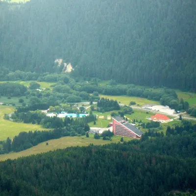 Water parks & thermal poolsTERMAL raj thermal bath, Liptovský JánLiptovský Ján26 km from the centreLiptovský Ján: thermal water at the entrance to Jánska dolina Liptovský Ján is an old village in southern Liptov, about 10 km from Liptovský Mikuláš, at the entrance...
Huts, shelters and springs nearby
Getting there from Ukraine
Border crossings
- Uzhhorod – Vyšné Nemecké — road, 24/7
- Malyi Bereznyi – Ubľa — road, 24/7 For cars and buses; pedestrians not confirmed by the Ukrainian border service, lorries up to 3.5 t.
- Mali Selmentsi – Veľké Slemence (pedestrian) — pedestrian, 09:00–21:00 Kyiv time Pedestrians and cyclists only; inconvenient for the Tatras without onward transport.
- Chop – Čierna nad Tisou (rail) — rail, 24/7
By car
From Uzhhorod to Brezno ≈274 km, ≈3 h 50 min without queues: Uzhhorod – Vyšné Nemecké → I/19 to Košice → D1 via Prešov and Poprad to the exit near Liptovský Hrádok → I/18 and I/72 over the Čertovica Pass to Brezno. To Banská Bystrica ≈322 km, ≈4 h 30 min: D1 to Ružomberok, then I/59 via Donovaly. From Lviv: to Brezno via Uzhok and Ubľa ≈498 km (≈7 h 45 min) or through Poland ≈554 km (≈7 h 05 min); to Banská Bystrica through Poland (Kraków – Chyżne – Trstená – Dolný Kubín – Ružomberok) ≈535 km, ≈7 h 15 min. The D1 requires an e-vignette (eznamka.sk).
Checked 23.10.2026; border crossing hours and timetables change — check before you travel.
