Suchá Hora
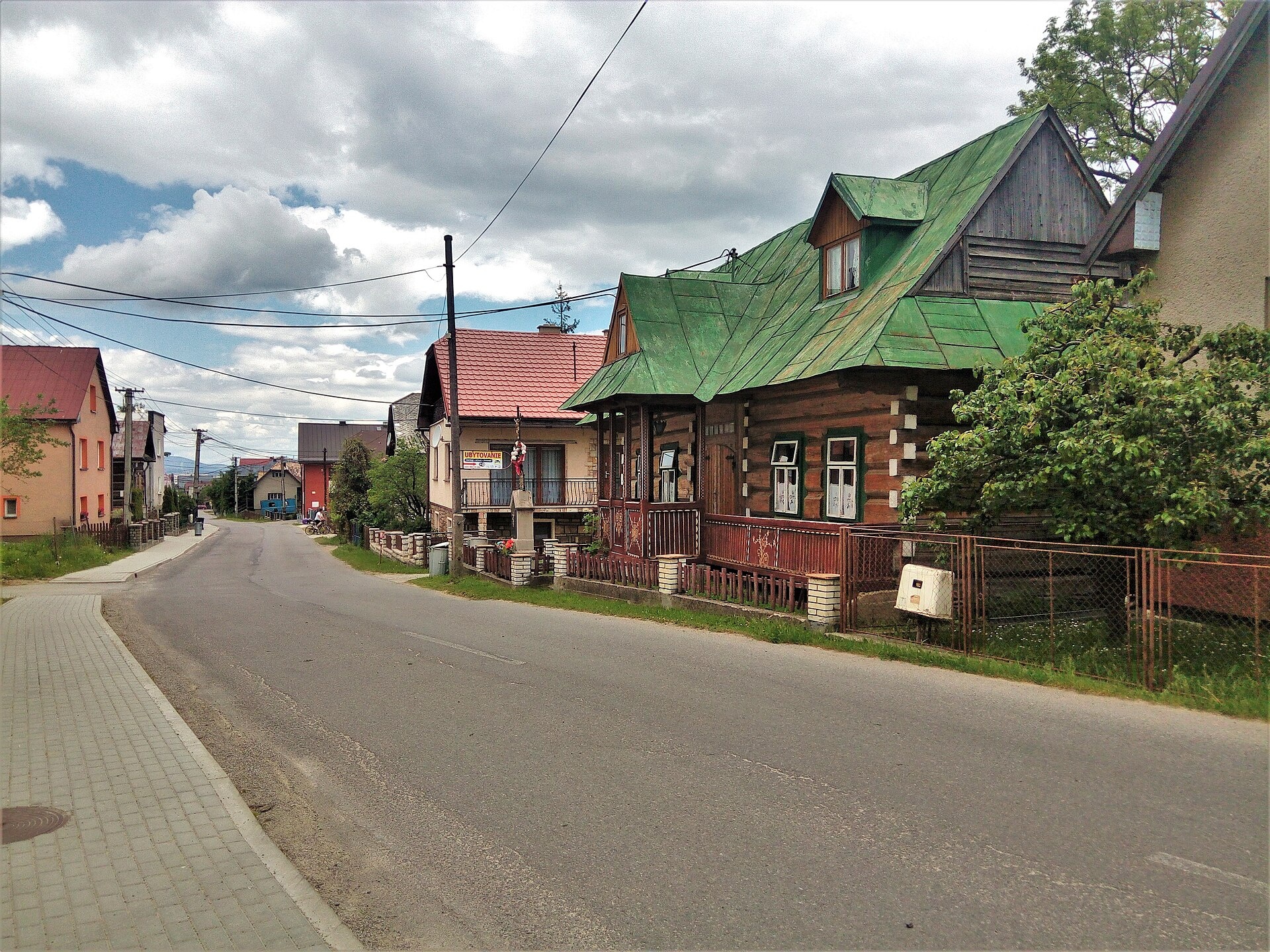
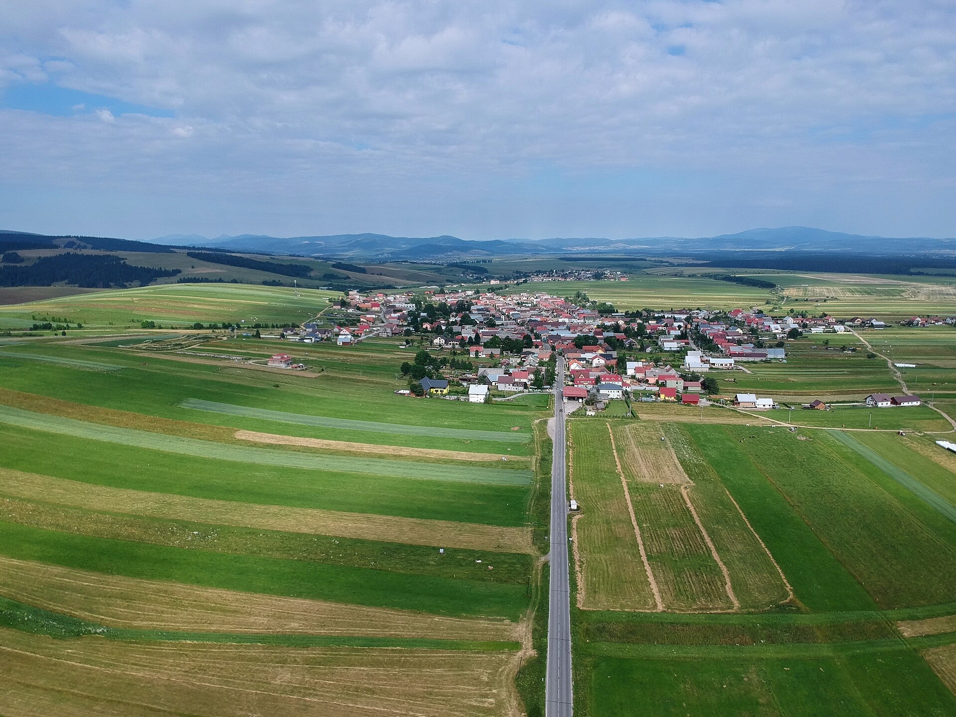
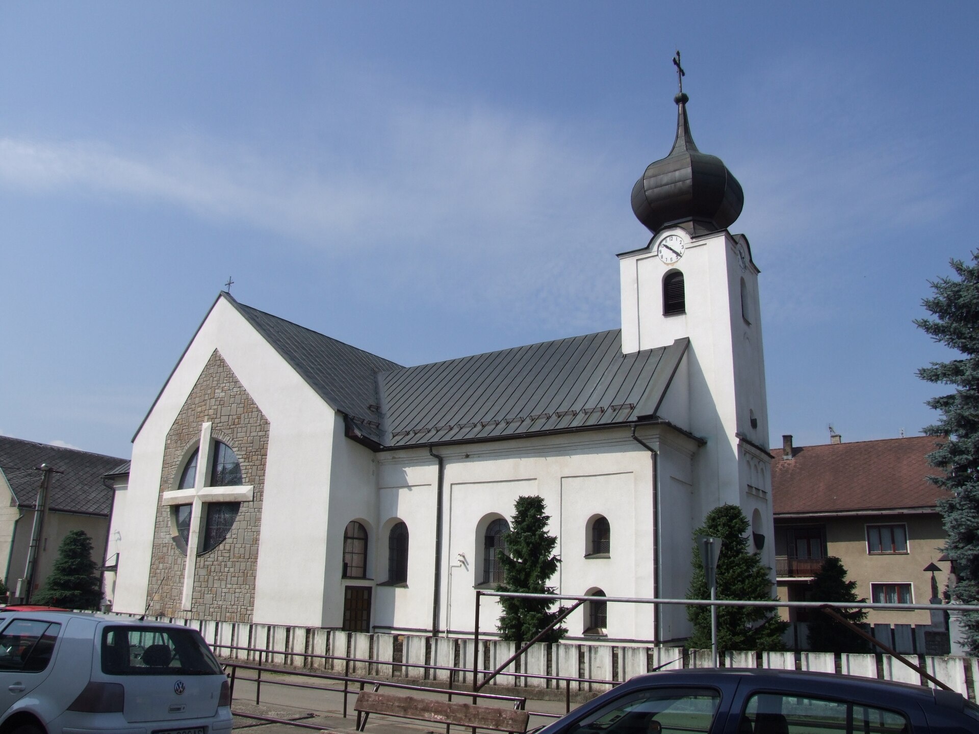
Photos: Kamil Czainski, CC BY-SA 4.0 (Wikimedia Commons); Maksym Kozlenko, CC BY-SA 4.0 (Wikimedia Commons); Jerzy Opioła, CC BY-SA 4.0 (Wikimedia Commons)
Suchá Hora is a village in Slovakia.
Elevation: about 798 m above sea level. Population: 1,495 (2025). Mountains nearby: Western Carpathians.
Here and nearby on the site: 1 trail.
Facts: Wikidata, OpenStreetMap. More on Wikipedia
Trails nearby
All trails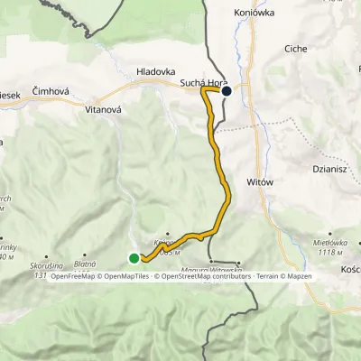 ModerateOne-dayMarkedOravice ChochołówElevation profile790–1 132 m12.5 kmascent 348 m≈ 4 h walkingunder 1 km from the centre
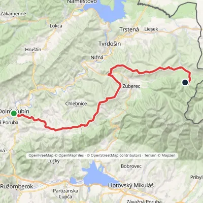 HardMulti-dayMarkedDolný Kubín Junction under UmrláElevation profile476–1 314 m56.6 kmascent 2 149 m8.1 km from the centre
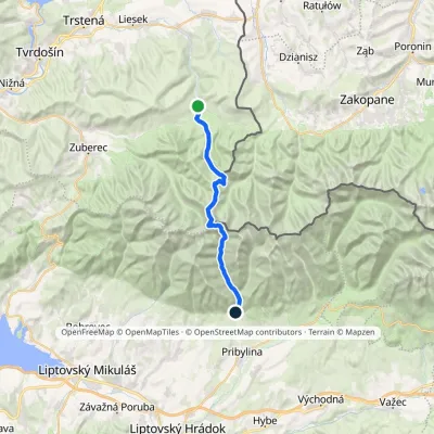 HardTwo-dayMarkedOravice Račková dolina, campsiteElevation profile791–2 063 m23.6 kmascent 1 337 m≈ 8.5 h walking8.3 km from the centre
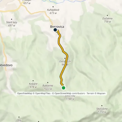 EasyOne-dayMarkedJavorinky BrezovicaElevation profile714–1 117 m4.3 km≈ 1 h walking10 km from the centre
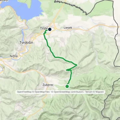 ModerateTwo-dayMarkedHoráreň Brestová Trstená, WestElevation profile603–1 314 m19.1 kmascent 591 m≈ 6 h walking10 km from the centre
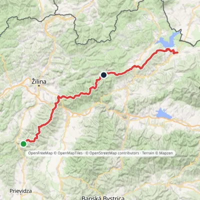 HardMulti-dayMarkedKľak TrstenáElevation profile354–1 671 m119.6 kmascent 7 571 m12 km from the centre
Peaks nearby
All peaks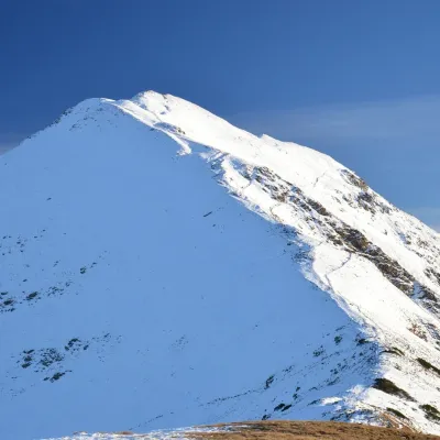 PeakVolovecaltitude 2 063 m18 km from the centreVolovec (Polish: Wołowiec) is a 2,063 m peak on the main ridge of the Western Tatras, on the border between Slovakia and Poland.
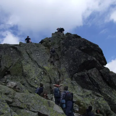 PeakOstrý Roháčaltitude 2 088 m19 km from the centreOstrý Roháč (Polish: Rohacz Ostry) is a rocky, twin-summited 2,088 m mountain on the main ridge of the Western Tatras in Slovakia.
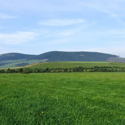 PeakMníchZuberecaltitude 1 110 m19 km from the centreMních is a summit 1110 m high in the Skorušina Mountains (Skorušinské vrchy) in Orava, Slovakia, in their Kopec subunit.
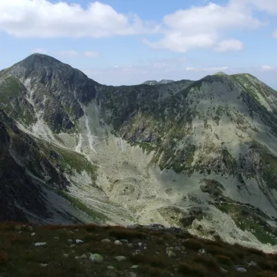 PeakSpálenáZuberecaltitude 2 083 m19 km from the centreSpálená (Polish Spalona Kopa) is a summit 2083 m high on the main ridge of the Western Tatras, in their wildest part, the Roháče, in Slovakia.
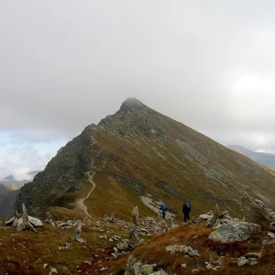 PeakPlačlivéŽiaraltitude 2 125 m19 km from the centrePlačlivé (also Plačlivô, formerly Plačlivý Roháč; Polish Rohacz Płaczliwy) is a 2,125 m peak on the main ridge of the Western Tatras in Slovakia, in the part known as...
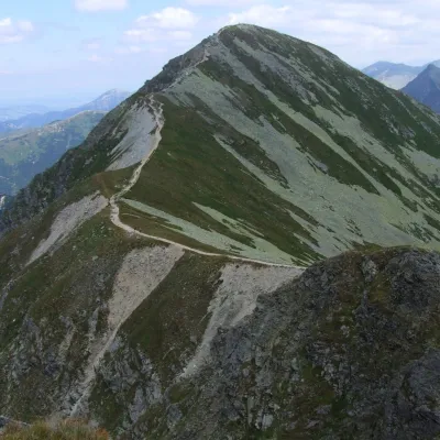 PeakHrubá kopaŽiaraltitude 2 166 m19 km from the centreHrubá kopa (Polish Hruba Kopa or Baszta) is a 2166 m summit on the main ridge of the Slovak Western Tatras and the third highest mountain of the Roháče group.
What to visit
All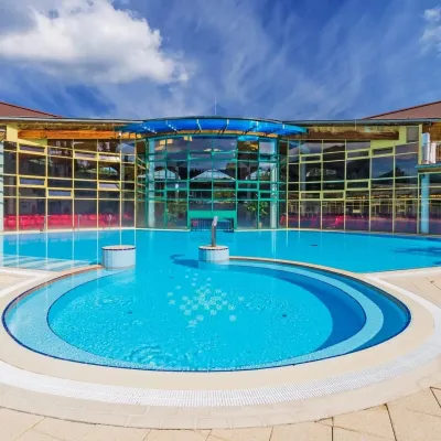 Water parks & thermal poolsMeander Thermal Resort, OraviceVitanová8 km from the centreMeander Thermal & Ski Resort (formerly Meander Park) is a thermal water park and ski centre in the mountain settlement of Oravice in northern Slovakia, at the foot of...
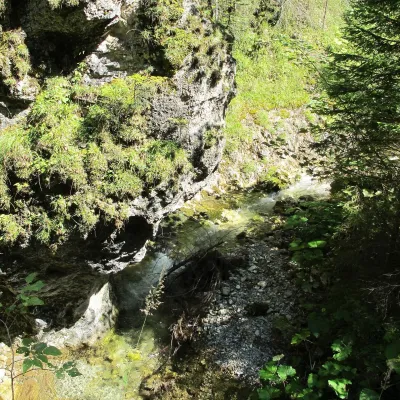 WaterfallJuráňova dolina: the Tiesňavy gorge with waterfalls and giant's kettlesVitanová10 km from the centreJuráňova dolina is the largest branch of the Tichá Oravská valley in the Western Tatras (Západné Tatry), above the resort of Oravice on the Slovak side of the border...
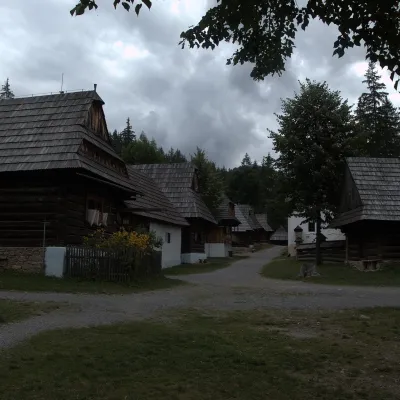 MuseumMuseum of the Orava Village (Zuberec open-air museum)Zuberec15 km from the centreThe Museum of the Orava Village (Múzeum oravskej dediny) is an open-air museum on the Brestová meadow at about 830 m, at the foot of the Western Tatras — the Roháče.
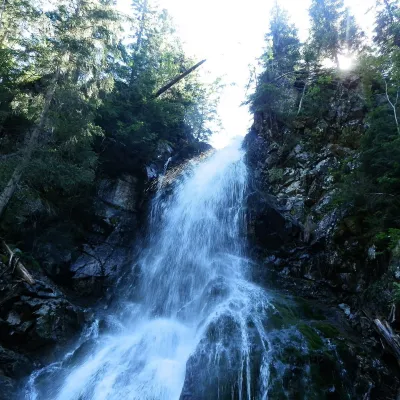 WaterfallRoháčsky WaterfallZuberec17 km from the centreRoháčsky waterfall (Roháčsky vodopád) is the best-known waterfall of the Western Tatras, in the Roháče massif about 12 km east of the village of Zuberec in Orava.
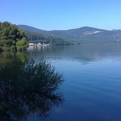 LakeOrava Reservoir and Slanica IslandNámestovo18 km from the centreOrava Reservoir (Oravská priehrada), jokingly called the “Orava Sea” by locals, lies in northern Slovakia, in the historic region of Orava, close to the Polish border.
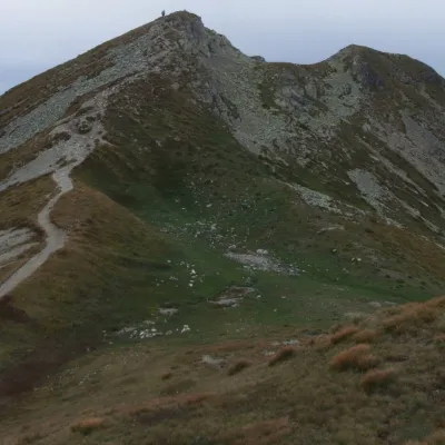 Mountain meadowThe grassy hole of Salatín and Brestová in the Western TatrasZuberecaltitude 2 048 m19 km from the centreSalatín (2,048 m) is a massive grassy mountain on the main ridge of the Western Tatras (Západné Tatry) in Slovakia, above the Bobrovecká and Jalovecká valleys on the...
Craft nearby
All craft placesSpas and thermal pools nearby
Water parks & thermal poolsMeander Thermal Resort, OraviceVitanová8 km from the centreMeander Thermal & Ski Resort (formerly Meander Park) is a thermal water park and ski centre in the mountain settlement of Oravice in northern Slovakia, at the foot of...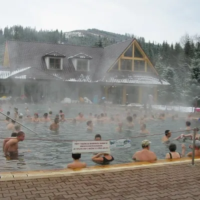 Water parks & thermal poolsOravice thermal poolsVitanová8 km from the centreThe Oravice thermal pools (Termálne kúpalisko Oravice) are the municipal thermal baths in the mountain settlement of Oravice at the foot of the Western Tatras.
Huts, shelters and springs nearby
Getting there from Ukraine
Border crossings
- Uzhhorod – Vyšné Nemecké — road, 24/7
- Malyi Bereznyi – Ubľa — road, 24/7 For cars and buses; pedestrians not confirmed by the Ukrainian border service, lorries up to 3.5 t.
- Mali Selmentsi – Veľké Slemence (pedestrian) — pedestrian, 09:00–21:00 Kyiv time Pedestrians and cyclists only; inconvenient for the Tatras without onward transport.
- Chop – Čierna nad Tisou (rail) — rail, 24/7
By car
From Uzhhorod ≈275 km, ≈3 h 35 min without queues: Uzhhorod – Vyšné Nemecké → I/19 to Košice → D1 motorway via Prešov, Poprad and Liptovský Mikuláš to Ružomberok (≈270 km, ≈3 h 25 min from the border). From Lviv it is faster through Poland: M-10 → Krakovets – Korczowa → A4 to Kraków → S7/DK7 to the Chyżne – Trstená border → R3 and I/59 via Dolný Kubín to Ružomberok: ≈482 km, ≈6 h 15 min (via Uzhok and Ubľa ≈500 km, ≈7 h 30 min). The D1 requires an e-vignette (eznamka.sk).
Checked 23.10.2026; border crossing hours and timetables change — check before you travel.
