Rozmaryn


What to see nearby
The best within 10 km, as the crow flies
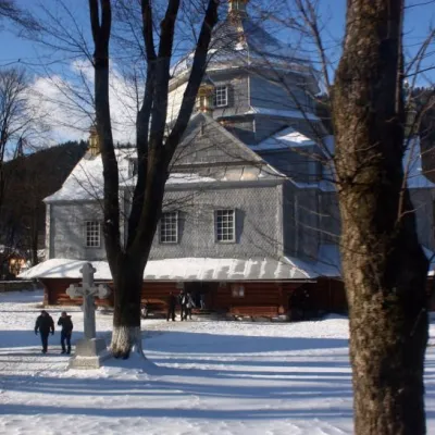 Trinity ChurchChurch · 400 m
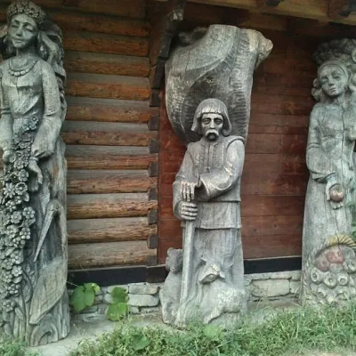 Museum of customary symbols of the Hutsul regionMuseum · 900 m
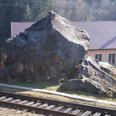 Dovbush's stoneRock · 5.1 km
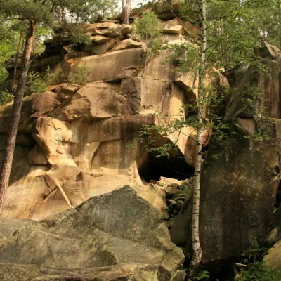 Dovbush trail in YaremcheNature · 5.3 km
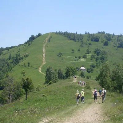 Mount MakovytsiaMountain meadow · 5.7 km
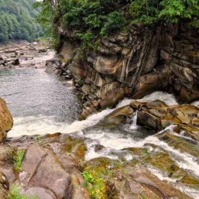 Probiy waterfallWaterfall · 6.3 km
Trails starting within 5 km: 34
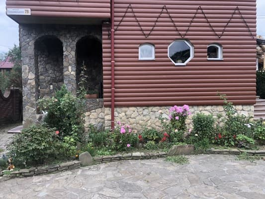
Homestead "Rozmaryn" is located in the village of Mykulychyn. There are 2-bed, 3-bed, and 4-bed rooms, as well as a three-story and a two-story cottage. The rooms are equipped with single and double beds, a wardrobe, a mini-kitchen (refrigerator, microwave, electric kettle, sink, dishes, dining table), a TV, and a bathroom — shower, toilet, sink. On the territory of the homestead "Rozmaryn" there is a garden, a barbecue area, gazebos, children's swings, a café-koliba for 35 guests with a kitchen, and parking. Ivano-Frankivsk International Airport is located 58 km from the homestead, and the Yaremche railway station is a 5-minute walk away.
The cost of an extra bed should be clarified when booking.
To get to Ivano-Frankivsk, take the H-09 highway, pass the bus station in Mykulychyn, and immediately after the bridge, turn left (landmark — chapel), the house will be the first from the beginning of the street.
Everything necessary for self-cooking is available, and there is also a café "Koliba" on the territory for 35 guests.
Location on the map
Reviews
Nearby attractions
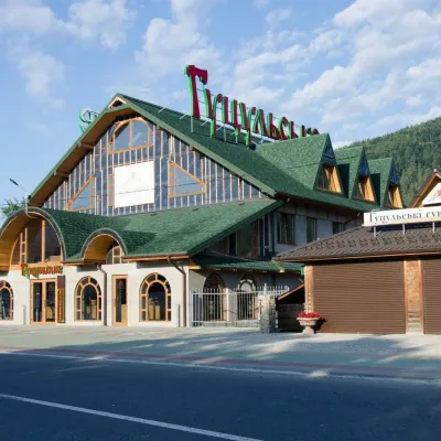 Craft beer & breweriesHutsulske Brewery, MykulychynMykulychynunder 1 km from RozmarynThe Hutsulske brewery in Mykulychyn is one of the oldest private breweries in the Carpathians, brewing beer for more than twenty years right on the road between...
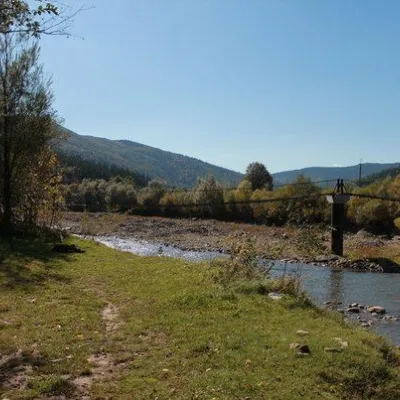 NatureGlade of Love, YaremcheYaremche5.7 km from RozmarynTheLove Glade is a heart-shaped lawn that can be seen from the road in Mykulychyn. There is a beach and a healing spring of mineral water saturated with hydrogen sulfide.
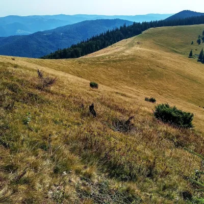 Mountain meadowPolonyna Yavirnyk (Yaremche)Yaremchealtitude 1 200 m · Gorgany range6.1 km from RozmarynPolonyna Yavirnyk is a large pasture on the south-eastern slopes of the Yavirnyk ridge in the Gorgany, right above Yaremche.
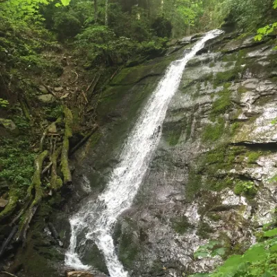 WaterfallNarinetskyi waterfall, MykulychynMykulychyn6.1 km from RozmarynNarinetskyi Waterfall is a waterfall in the Ukrainian Carpathians, on the Noretskyi Stream (a left tributary of the Zhenets River).
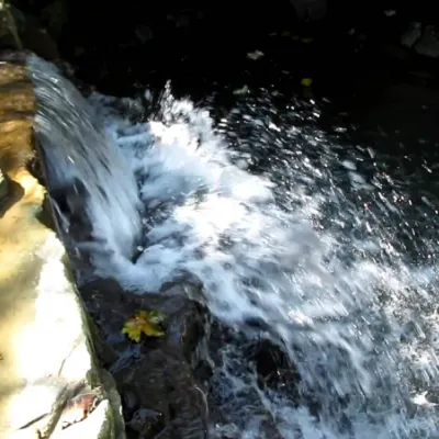 WaterfallBagrovetsky waterfallYaremche6.1 km from RozmarynBagrovetsky Waterfall is one of the most famous waterfalls in the Yaremche region, located in the city of Yaremche.
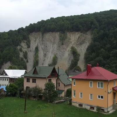 NatureElephant Rock, YaremcheYaremche6.2 km from RozmarynThe ElephantRock belongs to the Gorgany mountain system. It is located on the Prut River to the east of the central part of Yaremche.
Craft nearby
All craft places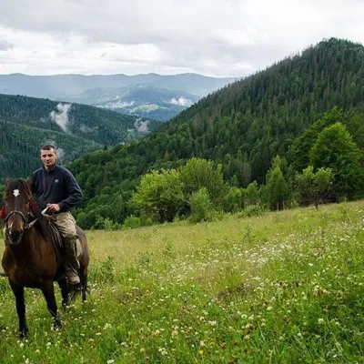 Horse ridingHorse Riding, MykulychynMykulychyn1.8 km from RozmarynHorse riding in Mykulychyn is a riding service in one of the most popular villages near Yaremche. The owners keep hardy mountain horses and take guests along forest...
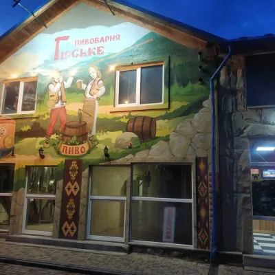 Craft beer & breweriesHirske Brewery, MykulychynMykulychyn2.3 km from RozmarynThe Hirske brewery is a small artisan brewery in Mykulychyn, on the edge of the village towards Tatariv.
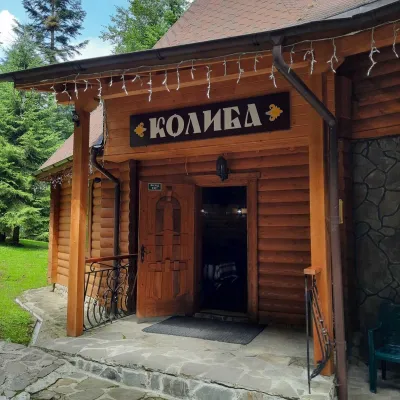 Koliby & Hutsul cuisineKoliba “Dykyi Med”, TatarivTatariv5.2 km from RozmarynThe Dykyi Med (“Wild Honey”) kolyba is the heart of a private estate of the same name in the Zhenets area of Tatariv, in a valley the locals call the Honey Valley.
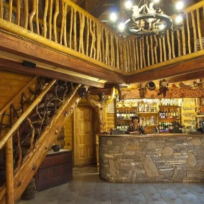 Koliby & Hutsul cuisineNa Penkakh Koliba, YaremcheYaremche5.2 km from RozmarynNa Penkakh koliba in Yaremche (“On the Stumps”) sits on quiet Svobody Street, right at the forest edge and near the start of the popular Dovbush Trail.
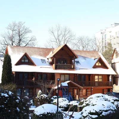 Koliby & Hutsul cuisineKrasna Sadyba Koliba, YaremcheYaremche6 km from RozmarynKrasna Sadyba in Yaremche is one of the town’s busiest places to eat: it has almost seven and a half thousand reviews on Google Maps.
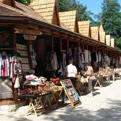 Markets & fairsHutsul souvenir market, YaremcheYaremche6.1 km from RozmarynYaremche is undoubtedly the center of Hutsul crafts, and everyone knows it. The Hutsuls are an ancient and at the same time interesting ethnic group of Ukrainians...
Peaks nearby
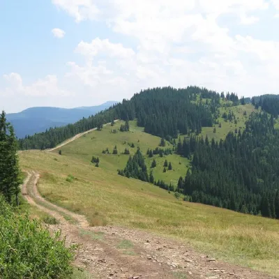 PeakMount LisnivTatarivaltitude 1 257 m · Pokuttia-Bukovyna Carpathians range5.5 km from Rozmaryn16 trails to the topMount Lisniv is a 1257-meter peak of the Ukrainian Carpathians, which is located on the territory of the Pokutsko-Bukovyna mountain range.
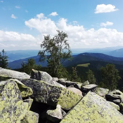 PeakMount Yavirnyk-GorganYaremchealtitude 1 467 m · Gorgany range7.6 km from RozmarynYavirnyk-Gorgan is the highest summit of the Yavirnyk ridge in the south-eastern Gorgany, 1,467 m high.
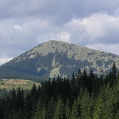 PeakMount KhomiakTatarivaltitude 1 542 m · Chornohora range8.5 km from Rozmaryn40 trails to the topKhomiak (1542 m) is a cone-shaped peak of the Gorgany range above Tatariv and Polianytsia; a statue of the Virgin Mary stands on its rocky top.
Trails nearby
All trails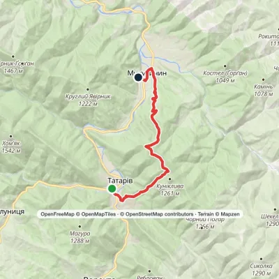 ModerateTwo-dayTatariv village to Mykulychyn villagevia Mount LisnivElevation profile587–1 234 m15 kmascent 609 m≈ 5 h walkingunder 1 km from Rozmaryn
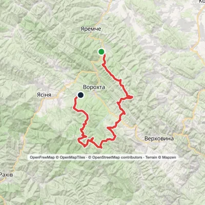 HardMulti-dayMykulychyn village to Voronenko villagevia Mount Khorde, Mount Pozhyzhevska +2Elevation profile587–2 061 m93 kmascent 4 527 munder 1 km from Rozmaryn
 ModerateTwo-dayMykulychyn village loopvia Mount YahidnaElevation profile590–1 216 m15.1 kmascent 647 m≈ 5 h walkingunder 1 km from Rozmaryn
