Putna Waterfall (Cascada Putnei)
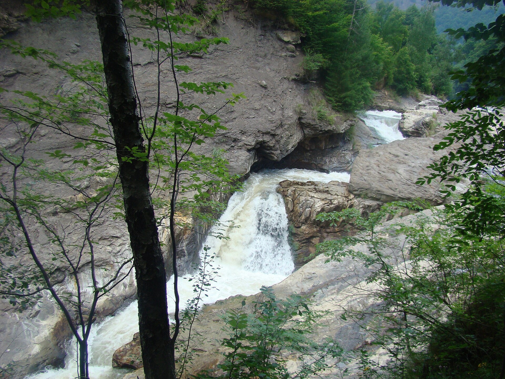
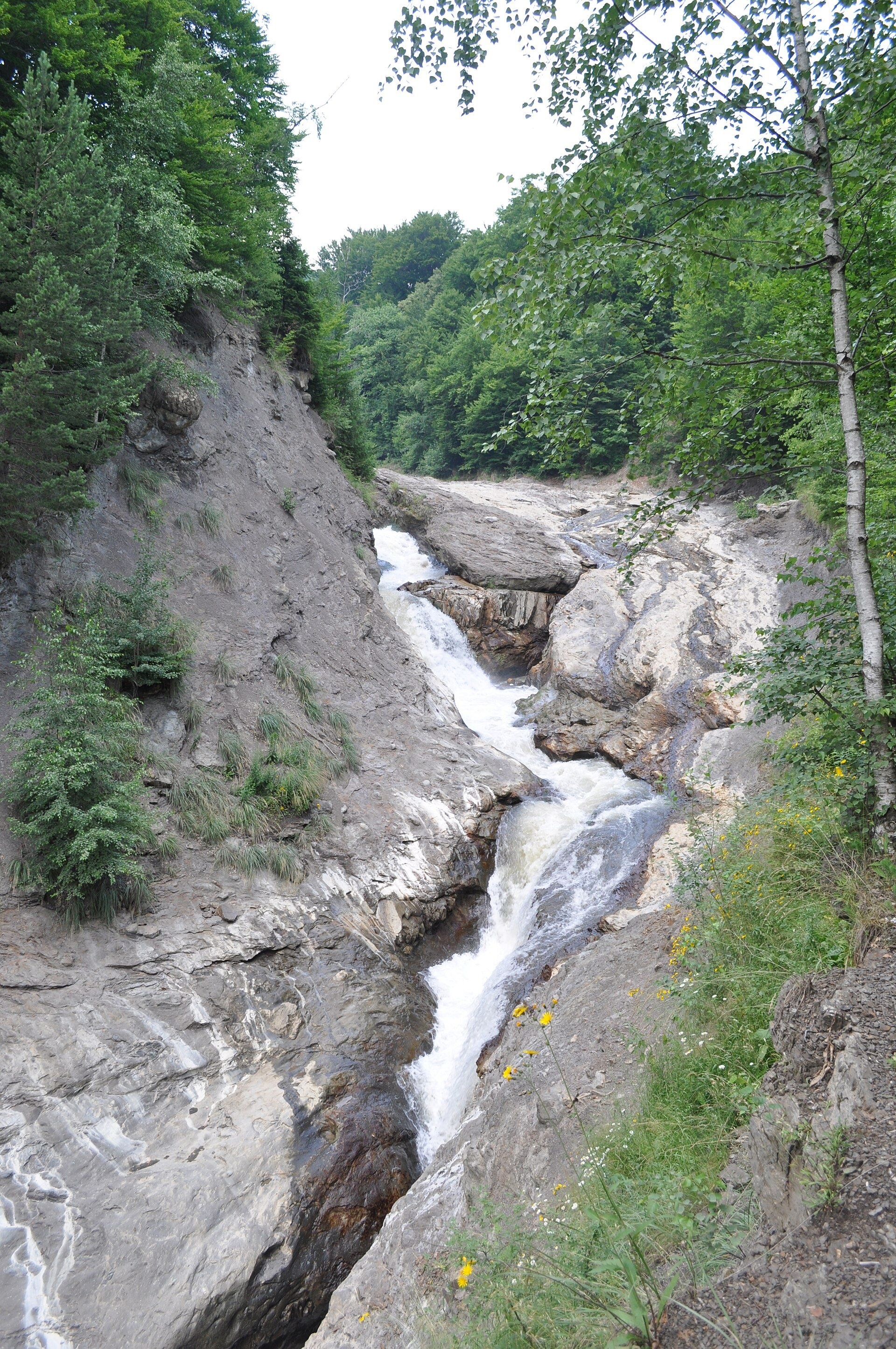
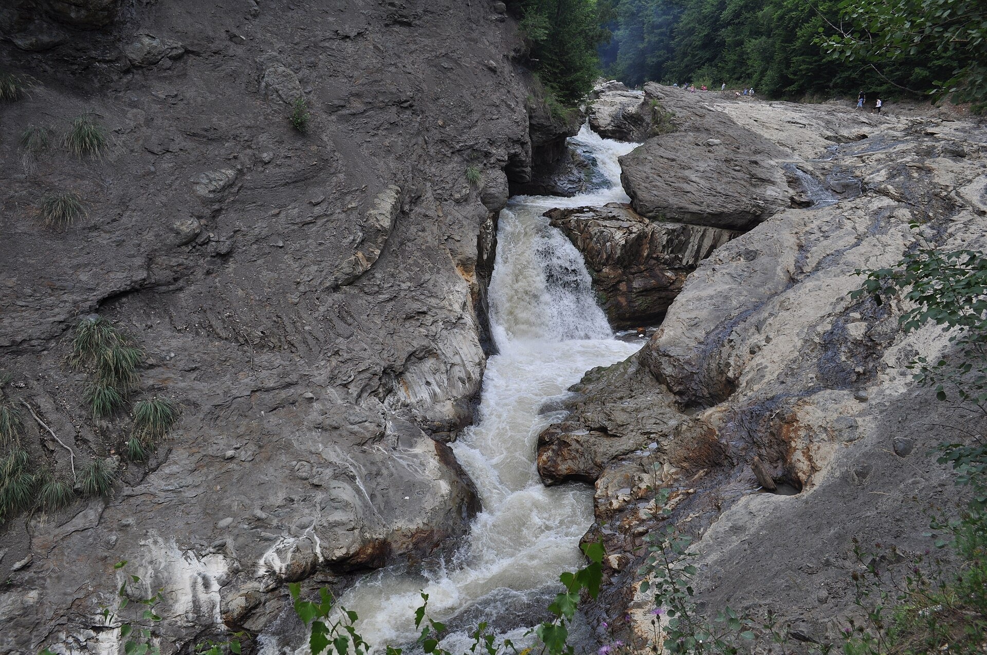
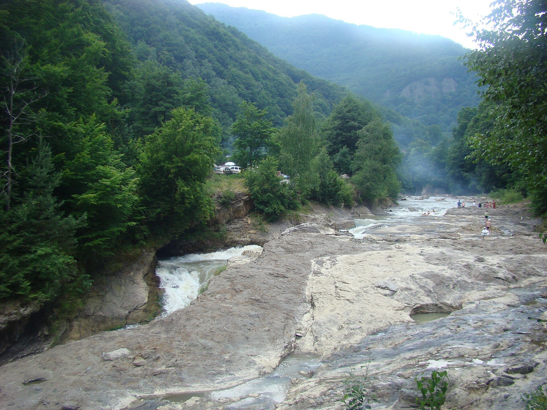
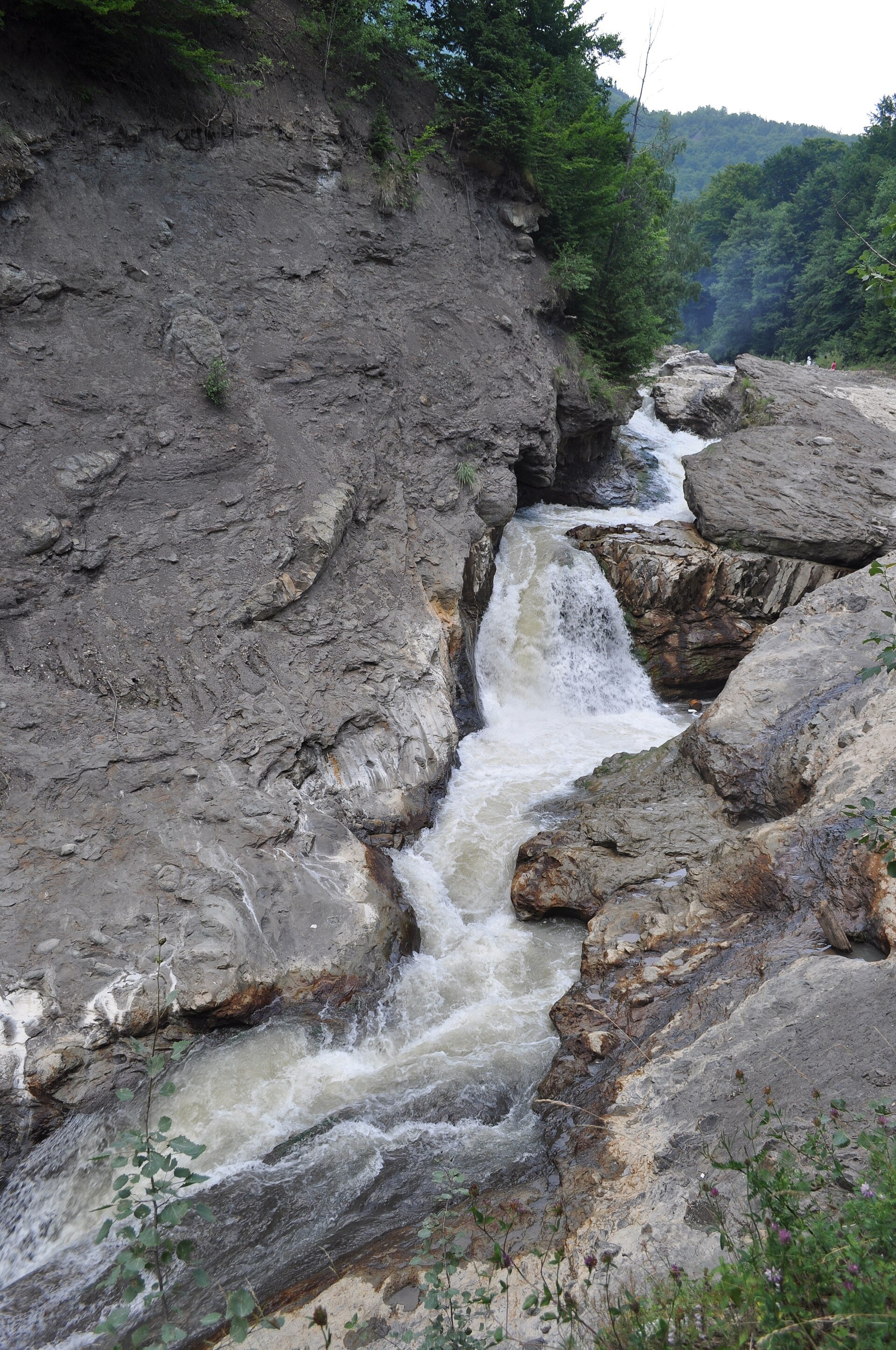
Putna Waterfall (Cascada Putnei, also called Săritoarea Putnei) is on the Putna river near the village of Lepșa in Tulnici commune, Vrancea County. It is a nature reserve of national importance (geological and landscape) inside the Putna–Vrancea Natural Park.
It is not a vertical drop but a long rock chute: according to the Romanian Wikipedia the waterfall is about 80 m long and the water gathers below in a pool about 12 m deep. The sources give no figure for the height of the fall.
What to see
The value of the place is not only the present waterfall. About 250 m downstream, on the left bank, an abandoned waterfall hangs above the river: tectonic movement made part of the old riverbed collapse and the Putna cut its present course.
The waterfall was declared a natural monument in 1973, when the first visitor facilities were built. The Romanian Wikipedia notes that heavy visiting has destroyed most of the rock plants here, including edelweiss. So keep to the paths and pick nothing.
How to get there
The waterfall is right beside road DN2D, about 3 km from Lepșa (as described in the Romanian press). Laid-out paths lead from an improvised parking area to the foot. By car you come from Focșani through Vidra and Tulnici.
Season and safety
The place is accessible all year and is at its best in spring and after rain. The rocks above the chute are smooth and wet: the press has reported a fatal fall in the waterfall area, so stay behind the railings and do not approach the edge for a photograph. Swimming in the pool is dangerous because of its depth and current.
Bears live in the Romanian Carpathians: stay on the marked path, talk as you walk and leave no food or litter; near sheepfolds do not run from the shepherd dogs — stop and calmly walk around the flock. Mountain rescue (Salvamont): national dispatch 0SALVAMONT — 0725 826 668 or 112; the service's advice for hikers is at salvamontromania.ro.
Photos: Utilizator:Țetcu Mircea Rareș at ro.wikipedia, CC BY-SA 3.0, Wikimedia Commons.
Getting there from Ukraine
Border crossings
- Porubne – Siret — road and pedestrian, 24/7
- Diakivtsi – Racovăț — road and pedestrian, 24/7 No freight traffic.
- Krasnoilsk – Vicovu de Sus — road and pedestrian, 08:00–20:00 Cars up to 3.5 t and pedestrians only; not 24/7.
- Solotvyno – Sighetu Marmației — road and pedestrian, 24/7 Passenger traffic only: vehicles up to 3.5 t with up to 9 seats, pedestrians.
- Diakove – Halmeu — road, 24/7 No pedestrian crossing.
By car
Chernivtsi – Brașov ≈395 km, ≈7 h 03 min (via Diakivtsi – Racovăț); Rakhiv – Brașov ≈419 km, ≈7 h 24 min (via Solotvyno – Sighetu Marmației); Uzhhorod – Brașov ≈522 km, ≈8 h 39 min (via Diakove – Halmeu). Times without border queues, our road routing (GraphHopper, OSM).
Checked 03.11.2026; border crossing hours and timetables change — check before you travel.
Comments
Travellers’ experience: reports, tips, questions.
No one has written here yet. Be the first — your experience helps others.
Location on the map
Wildlife nearby
All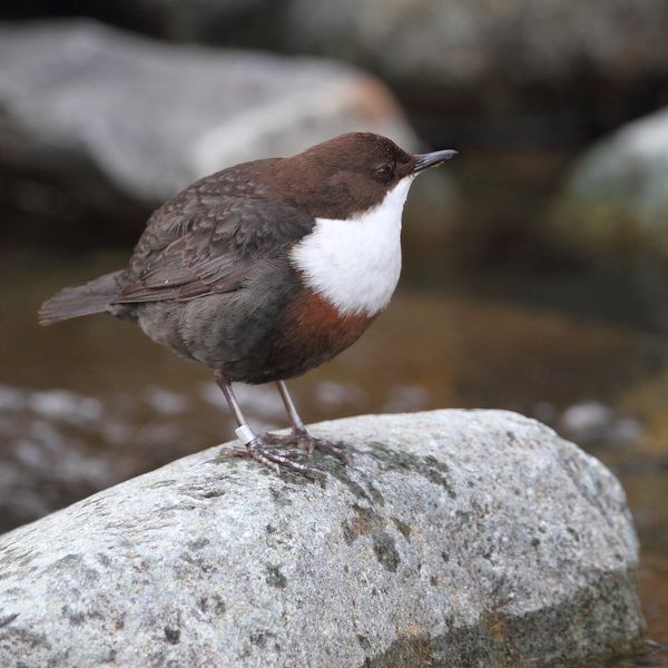
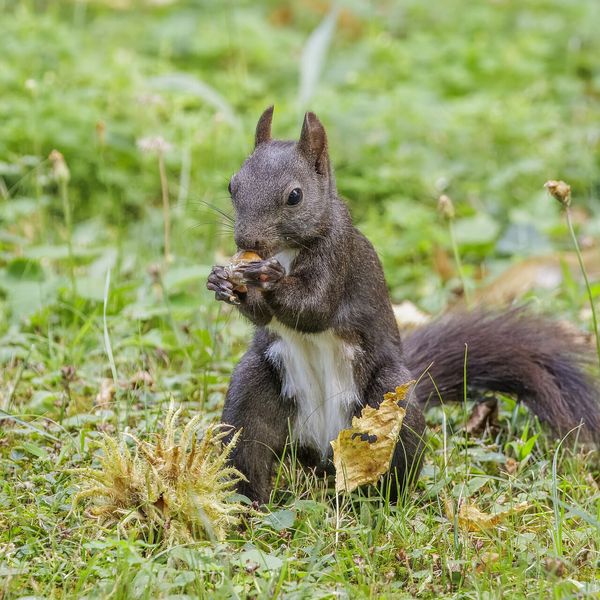
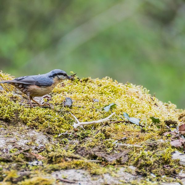
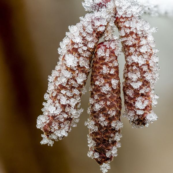

Based on naturalists’ records nearby (GBIF, iNaturalist), matched by altitude, habitat and season. Sightings are not guaranteed.
Nearby attractions
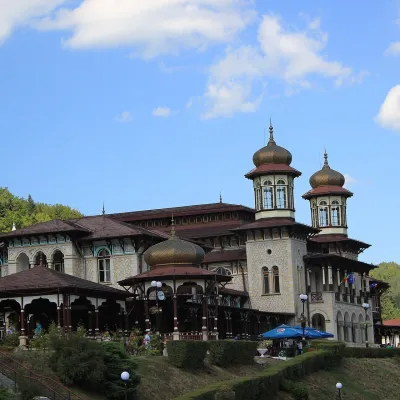 Water parks & thermal poolsSlănic-Moldova: mineral springs of the Pearl of MoldaviaSlănic-Moldova33 km from Putna Waterfall (Cascada Putnei)Slănic-Moldova is a mountain balneoclimatic spa in Bacău County, on the eastern slopes of the Eastern Carpathians at the foot of the Nemira Mountains.
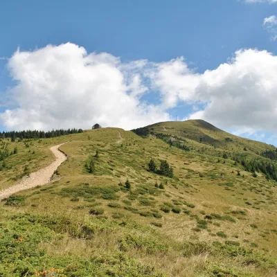 PeakPenteleualtitude 1 772 m39 km from Putna Waterfall (Cascada Putnei)Penteleu (Romanian Vârful Penteleu, Hungarian Pintilő) is the highest summit of the Buzău Mountains, at 1,772 m, in the Curvature Carpathians (Eastern Carpathians,...
Craft nearby
All craft places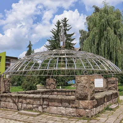 Water parks & thermal poolsCovasna: resort of a thousand springs, mofettes and heart careCovasna34 km from Putna Waterfall (Cascada Putnei)Covasna is a spa town in Covasna County, at the south-eastern edge of the Eastern Carpathians, where the mountains bend round in the Curvature Carpathians.
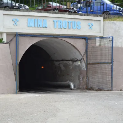 Water parks & thermal poolsTârgu Ocna Salt Mine: breathing therapy 240 m undergroundTârgu Ocna40 km from Putna Waterfall (Cascada Putnei)The Târgu Ocna Salt Mine (Salina Târgu Ocna) is one of Romania's oldest and the country's third-largest salt mine.
