Lăcăuți
Lăcăuți (Rom. Vârful Lăcăuți, Hun. Lakóca) is a 1,777 m peak in the Vrancea Mountains, the highest peak of Covasna County and, according to the Hungarian Wikipedia, the second highest peak of the Haromszek Mountains. It stands near the point where the borders of Covasna, Buzău, and Vrancea counties meet. There has been a weather station operating on the summit for several decades, and between 1940 and 1945–1947, the state border ran across Lăcăuți.
The nearest settlement is Comandău (about 10.6 km as the crow flies), the highest village in Covasna County (about 1,000 m). Near the summit, about 380 m away, stands Lăcăuți Hut: according to the Hungarian Wikipedia, this is a small hut at about 1,700 m, where 4–8 people can shelter in an emergency; it is maintained by the Covasna County mountain rescue service. Nearby is Izvorul de vara Spring.
Getting there / routes
The most common approach to Lăcăuți is from Comandău. According to the Hungarian Wikipedia, the route first follows a forest road, then a path through sparse spruce forest; in summer, trained hikers need about 4 hours, while in winter, deep snow means it takes on average 6–7 hours. According to muntii-nostri.ro, the yellow triangle trail starts at the museum in Comandău, follows the forest railway track for 1.9 km, crosses the Bâsca Mare river, climbs up the Cupanul Mic valley, and reaches the meadow below the Manisca Mare peak, from where Lăcăuți is first visible. The total route is 16.5 km, about 6 h 45 min, 928 m ascent, of medium difficulty.
The summit is also crossed by the long ridge route red stripe from Poiana Holom via Klebuc and Manisca Mare peaks to Oituz Pass, as well as a section of the European E8 trail. From Zăbala (from the Mikes Castle), a very long blue dot trail leads to Lăcăuți via Zîrna peak and further to Covasna: 41 km, about 17.5 hours, 1,916 m ascent, difficult. A shorter approach is the blue triangle from Poiana Șindrilița meadow via Poienița saddle and Mîrdanu mountain: 6.8 km, about 3 hours.
From Lăcăuți you can traverse to the neighboring peak Goru (1,785 m) — the highest in the Vrancea Mountains, lying to the southeast. The Hungarian Wikipedia estimates this traverse at 3 hours. According to muntii-nostri.ro, the blue cross trail descends the Dobroslavul ridge to Gorului saddle, passes an abandoned sheepfold on a wide meadow, goes by a developed spring, then climbs steeply to Goru, and descends into the Zăbala valley (10.4 km, about 5 hours).
The view from the top
From the meadow below Manisca Mare peak, according to muntii-nostri.ro, you first get a view of Lăcăuți itself; sources do not describe the panorama from the summit, so it's best to see for yourself on a clear day.
Safety, season and rules
The routes are long and forested, and in the Goru stream valley, the waymarking disappears for 1 km — have an offline map. In winter, allow much more time: deep snow doubles the ascent duration. Bears are common in the Romanian Carpathians: do not leave marked trails, make noise, avoid hiking at dusk, and do not keep food in your tent; near sheepfolds, sheepdogs may attack — do not run, stop and shield yourself with your backpack (advice from Salvamont România).
In case of emergency, call the national mountain rescue dispatcher 0SALVAMONT — 0725 826 668 or 112.
Getting there from Ukraine
Border crossings
- Porubne – Siret — road and pedestrian, 24/7
- Diakivtsi – Racovăț — road and pedestrian, 24/7 No freight traffic.
- Krasnoilsk – Vicovu de Sus — road and pedestrian, 08:00–20:00 Cars up to 3.5 t and pedestrians only; not 24/7.
- Solotvyno – Sighetu Marmației — road and pedestrian, 24/7 Passenger traffic only: vehicles up to 3.5 t with up to 9 seats, pedestrians.
- Diakove – Halmeu — road, 24/7 No pedestrian crossing.
By car
Chernivtsi – Brașov ≈395 km, ≈7 h 03 min (via Diakivtsi – Racovăț); Rakhiv – Brașov ≈419 km, ≈7 h 24 min (via Solotvyno – Sighetu Marmației); Uzhhorod – Brașov ≈522 km, ≈8 h 39 min (via Diakove – Halmeu). Times without border queues, our road routing (GraphHopper, OSM).
Checked 03.11.2026; border crossing hours and timetables change — check before you travel.
Comments
Travellers’ experience: reports, tips, questions.
No one has reported on this trail yet. Been here lately? Tell others what it is like now.
Water and shelter nearby
- Izvorul de vara Spring260 m · Not verified · 1 736 m
- Lăcăuți Hut380 m · Not verified · 1 695 m
- Popii Spring2.7 km · Not verified · 1 512 m
Nearby attractions
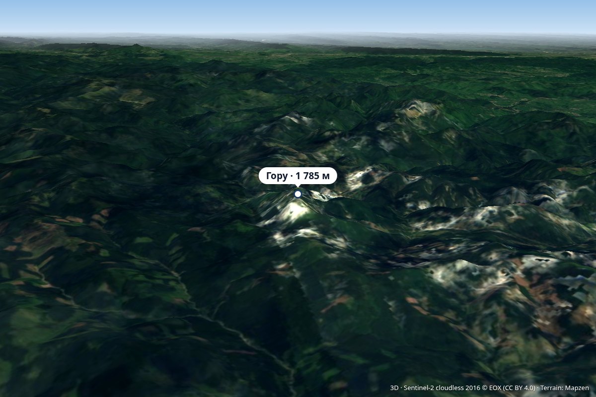 PeakGoru Peakaltitude 1 785 m4.4 km from LăcăuțiAccording to the Hungarian Wikipedia, until 1920 (and again until 1968) the mountain belonged to historic Háromszék, so the so-called "Millennial Border" ran here;...
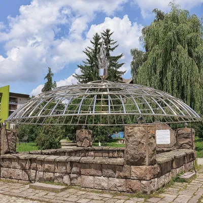 Water parks & thermal poolsCovasna: resort of a thousand springs, mofettes and heart careCovasna16 km from LăcăuțiCovasna is a spa town in Covasna County, at the south-eastern edge of the Eastern Carpathians, where the mountains bend round in the Curvature Carpathians.
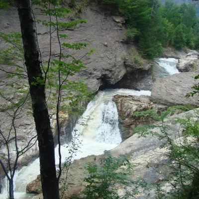 WaterfallPutna Waterfall (Cascada Putnei)Lepșa · Vrancea Mountains21 km from Lăcăuți546 m above sea levelPutna Waterfall (Cascada Putnei, also called Săritoarea Putnei) is on the Putna river near the village of Lepșa in Tulnici commune, Vrancea County.
Craft nearby
All craft places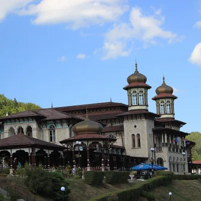 Water parks & thermal poolsSlănic-Moldova: mineral springs of the Pearl of MoldaviaSlănic-Moldova42 km from LăcăuțiSlănic-Moldova is a mountain balneoclimatic spa in Bacău County, on the eastern slopes of the Eastern Carpathians at the foot of the Nemira Mountains.
 Water parks & thermal poolsBalvanyos: the Stinky Cave, mofettes and iron-rich springsBăile Bálványos47 km from LăcăuțiBalvanyos (Hungarian Bálványosfürdő) is a small mountain resort in Covasna County, on the land of Turia commune, north-west of the town of Târgu Secuiesc.
