Penteleu
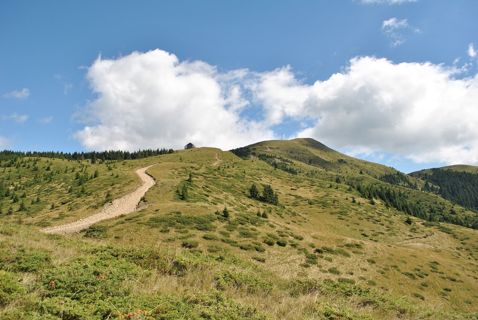
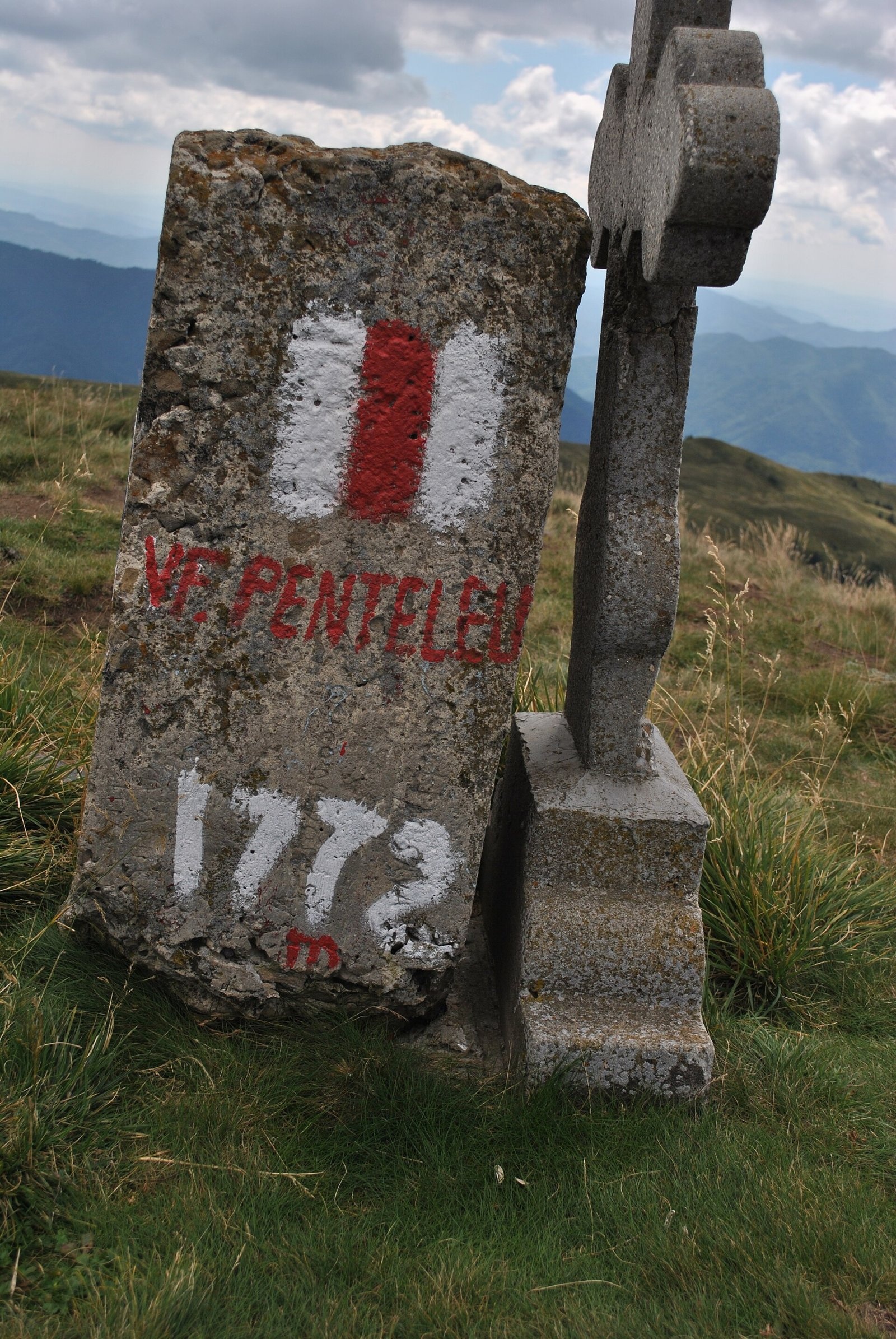
Penteleu (Romanian Vârful Penteleu, Hungarian Pintilő) is the highest summit of the Buzău Mountains, at 1,772 m, in the Curvature Carpathians (Eastern Carpathians, Romania). It stands in the Penteleu massif in the north-west of Buzău County, in the commune of Gura Teghii, near the border with Covasna County. The massif lies between the valleys of the Bâsca Mare and Bâsca Mică rivers; the nearest villages are Secuiu (about 7 km), Vadu Oii (about 9 km) and Varlaam (about 11 km).
According to Hungarian Wikipedia, the Buzău Mountains are mostly of medium height, averaging 1,000–1,200 m, and exceed 1,700 m at only one point – on Penteleu. They also include the Siriu, Tătaru, Podu Calului and Ivănețu massifs. A cross stands on the summit of Penteleu.
How to get there / trails
The European long-distance path E8 and a waymarked trail of the national network marked with a red stripe cross the summit. Among its external links Romanian Wikipedia mentions a two-day hike from the village of Varlaam (Gura Teghii commune) via Gura Cernatului, the Cernatul sheepfold and the Penteleu weather station to the summit. The approaches are long, so plan a full day.
What you can see from the summit
Penteleu rises above all its neighbours: while the Buzău Mountains mostly keep to 1,000–1,200 m, Penteleu clearly towers over its surroundings. Hungarian Wikipedia, describing the panorama from the Zăganu ridge in the Ciucaș Mountains, lists Penteleu among the peaks visible from there.
Nature and history
The Buzău Mountains are built exclusively of sedimentary rocks – tightly folded flysch. Their ridges are rounded or narrow and are broken up by depressions (Nehoiu, Varlaam, Comandău), deep valleys and broad saddles with passes. These mountains are still tectonically active: they rise by 0.5–1 mm a year, and the Vrancea earthquake epicentral zone lies nearby. Earthquakes, deforestation, heavy rain and frost cause large landslides and rockfalls on the steep slopes here.
The Penteleu massif has been declared a forest reserve. There is also the Natura 2000 site “Penteleu”, 11,268 ha (since 2007, and a special area of conservation since 2022), with beech, spruce and mixed forests, pastures and alpine scrub. Plants include bellflowers, yellow monkshood, wild garlic and the Transylvanian liverleaf. In the spruce forests between Penteleu and the Vrancea Mountains photographers have recorded bear signs – scratched trunks and droppings.
The peak's name is known far beyond the mountains: Penteleu is a variety of Romanian sheep's-milk cheese (brânză or cașcaval) that originates in the Buzău Mountains.
Safety, season and rules
The Penteleu ridges are open, so they are dangerous in fog and thunderstorms, and deep snow falls in winter. Salvamont advises checking the forecast for the next 24 hours, not hiking alone, telling your family your route, and carrying a map, compass, torch and enough water.
Bears are common here. Stay on the marked paths, walk in a group and talk, do not hike in the evening or at night, do not keep food in your tent and hang it away from your camp. Sheepdogs near sheepfolds may rush at hikers – do not run, shield yourself with your rucksack. In an emergency call the national dispatch 0SALVAMONT – 0725 826 668 or 112; advice on animal encounters is on the Salvamont România website.
Photos: Claudiu Constantin, CC BY-SA 3.0; Claudiu Constantin, CC BY-SA 3.0 — Wikimedia Commons.
Getting there from Ukraine
Border crossings
- Porubne – Siret — road and pedestrian, 24/7
- Diakivtsi – Racovăț — road and pedestrian, 24/7 No freight traffic.
- Krasnoilsk – Vicovu de Sus — road and pedestrian, 08:00–20:00 Cars up to 3.5 t and pedestrians only; not 24/7.
- Solotvyno – Sighetu Marmației — road and pedestrian, 24/7 Passenger traffic only: vehicles up to 3.5 t with up to 9 seats, pedestrians.
- Diakove – Halmeu — road, 24/7 No pedestrian crossing.
By car
Chernivtsi – Brașov ≈395 km, ≈7 h 03 min (via Diakivtsi – Racovăț); Rakhiv – Brașov ≈419 km, ≈7 h 24 min (via Solotvyno – Sighetu Marmației); Uzhhorod – Brașov ≈522 km, ≈8 h 39 min (via Diakove – Halmeu). Times without border queues, our road routing (GraphHopper, OSM).
Checked 03.11.2026; border crossing hours and timetables change — check before you travel.
Comments
Travellers’ experience: reports, tips, questions.
No one has reported on this trail yet. Been here lately? Tell others what it is like now.
Location on the map
Water and shelter nearby
- Spring below Penteleu (east slope)720 m · Not verified · 1 509 m
- Spring below Penteleu (north-east slope)1.5 km · Not verified · 1 417 m
- Spring under Stana1.7 km · Not verified · 1 305 m
Nearby attractions
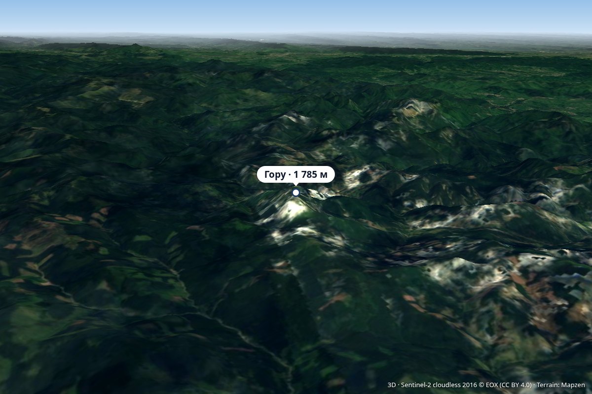 PeakGoru Peakaltitude 1 785 m22 km from PenteleuAccording to the Hungarian Wikipedia, until 1920 (and again until 1968) the mountain belonged to historic Háromszék, so the so-called "Millennial Border" ran here;...
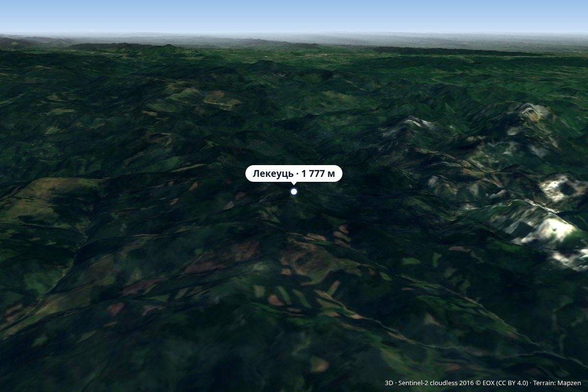 PeakLăcăuțialtitude 1 777 m25 km from PenteleuThere has been a weather station operating on the summit for several decades, and between 1940 and 1945–1947, the state border ran across Lăcăuți.
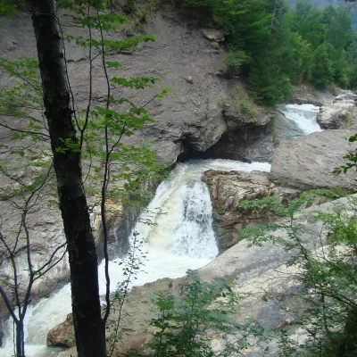 WaterfallPutna Waterfall (Cascada Putnei)Lepșa · Vrancea Mountains39 km from Penteleu546 m above sea levelPutna Waterfall (Cascada Putnei, also called Săritoarea Putnei) is on the Putna river near the village of Lepșa in Tulnici commune, Vrancea County.