Ondava River
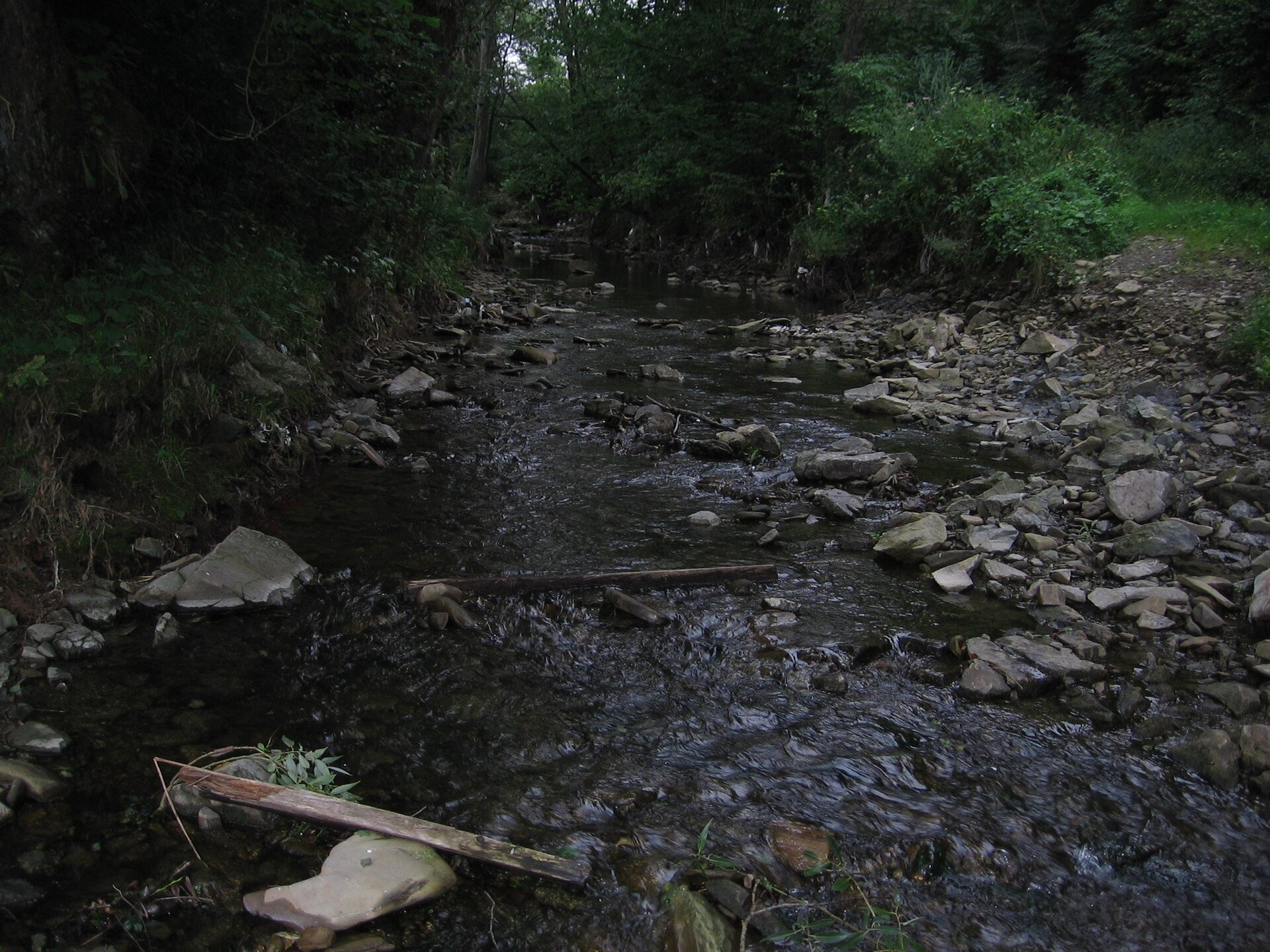
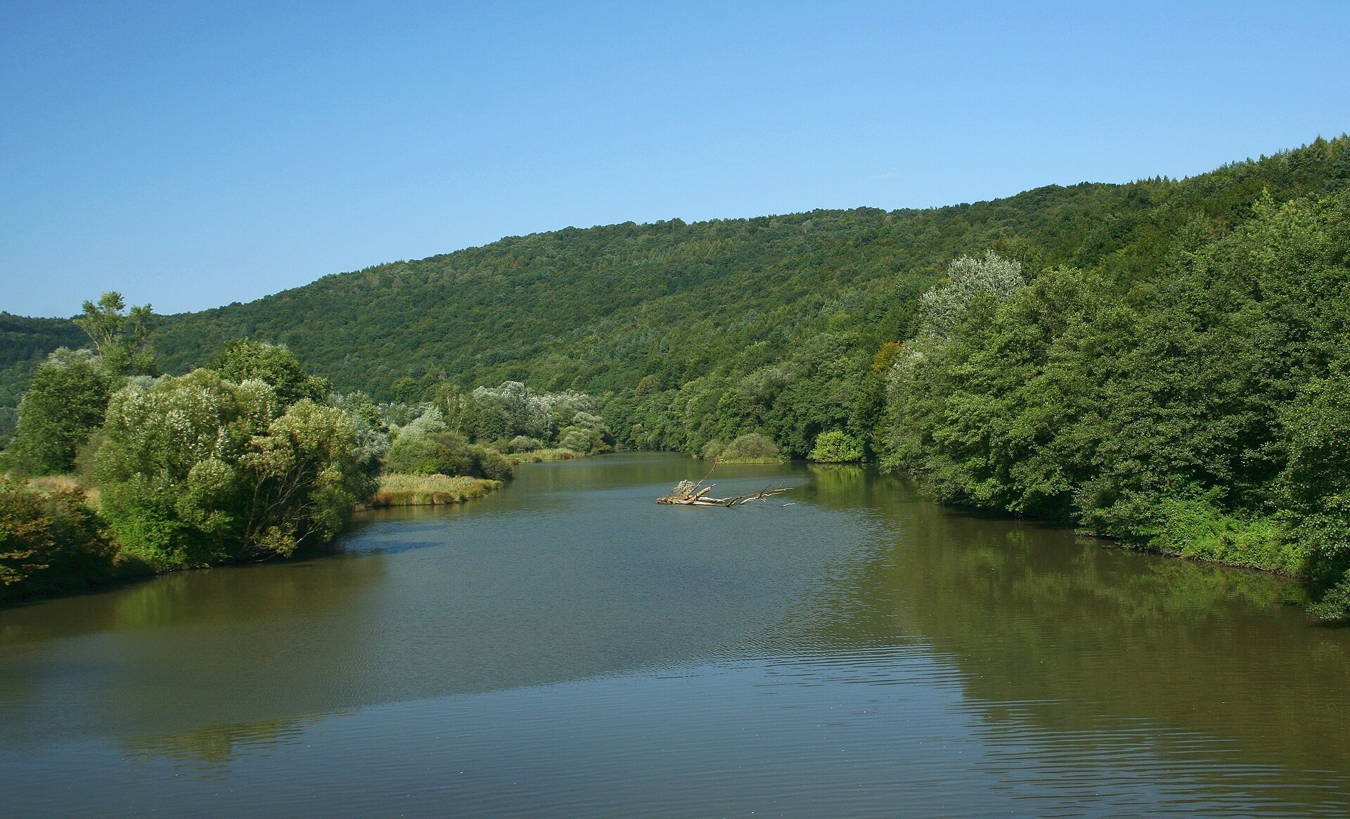
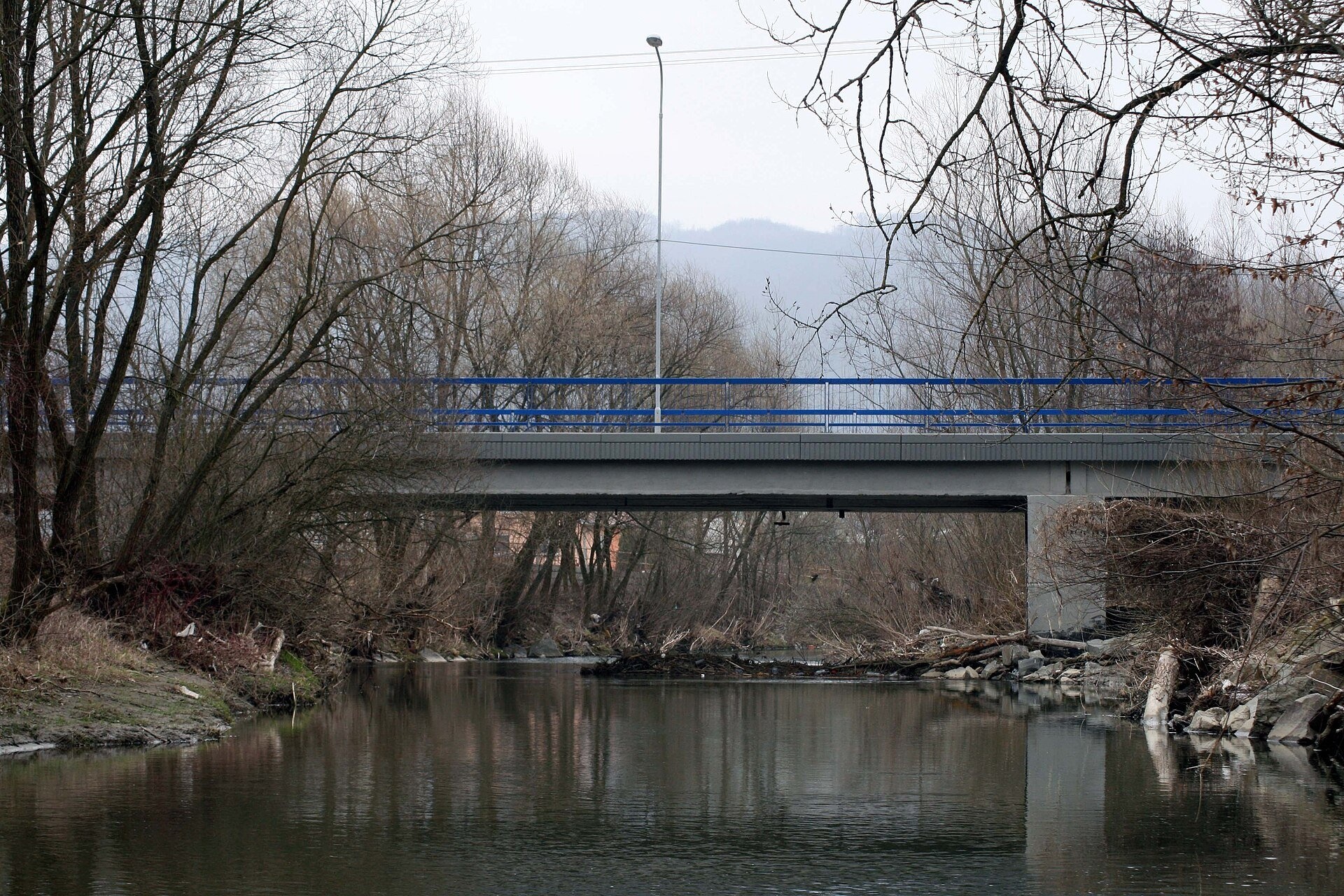
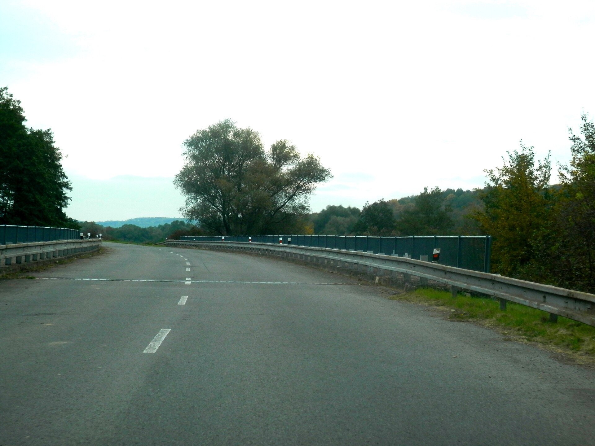
The Ondava is a river in eastern Slovakia, the country's eighth-longest. It is 144.4 km long (146 km according to Wikidata) and its basin covers 3,354.7 km². Together with its tributaries, above all the Topľa, the Ondava drains almost the whole Bardejov district, the Svidník, Stropkov and Vranov districts and parts of the Medzilaborce, Humenné, Michalovce and Trebišov districts. Near the village of Zemplín, at 94.5 m, it meets the Latorica, and the two rivers form the Bodrog, a tributary of the Tisza.
The course: from source to mouth
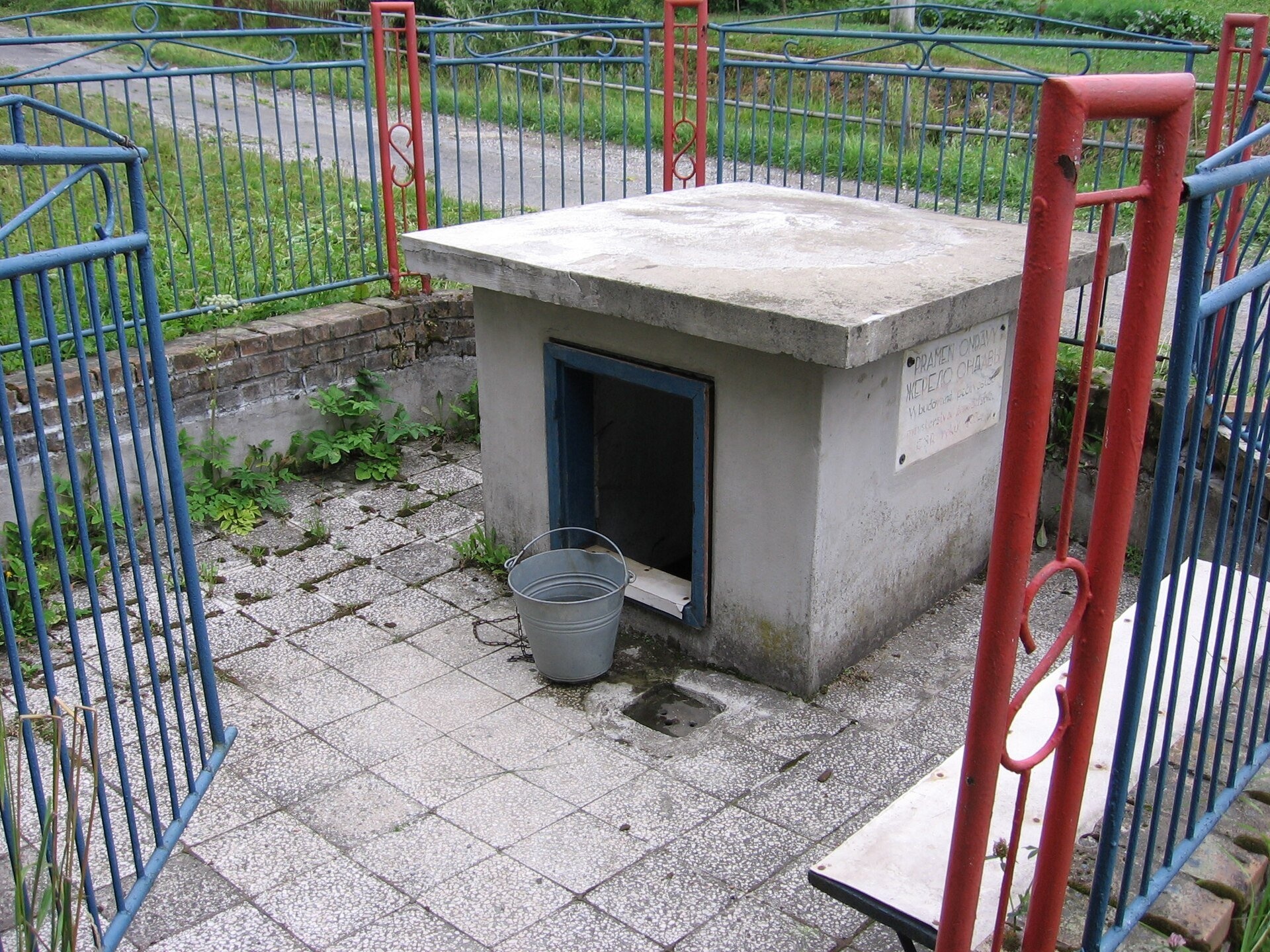
The springs of the Ondava lie at about 540 m on the southern slopes of the Beskid Niski (Slovak geographers place them in the Ondava Upland), right below the true saddle of the Dujava pass — about 400 m east of the road border crossing, in the village of Ondavka. Across the border lies Polish Konieczna. In Ondavka itself a symbolic spring has been built, walled in like a well.
The river flows south-east across the Ondava Upland, of which it is the main river. It passes Nižný Mirošov and Svidník, then Stropkov, and fills the Veľká Domaša reservoir near Kvakovce. From the reservoir the Ondava flows south and near Vranov nad Topľou enters the East Slovak Lowland. Near Parchovany it receives its largest tributary, the Topľa, near Hraň the second largest, the Trnávka, and near Zemplín it meets the Latorica. Left-bank tributaries include the Mirošovec, Mostovka, Ladomirka, Chotčianka, Oľka and Ondavka, right-bank ones the Smilnianka, Rusinec, Olšavka, Topľa and Trnávka. On its way to the lowland the river crosses the Ondava Upland, the Beskid Foothills, the East Slovak Hills and the plain.
What to see along the river
- Museum of Ukrainian Culture in Svidník — in the town on the Ondava.
- Svidník Open-Air Museum (Museum of Ukrainian Culture) — an open-air museum above the town.
- Military History Museum in Svidník — in the town on the riverbank.
- Dezider Milly Gallery, Svidník — an art gallery in Svidník.
- Veľká Domaša reservoir — the largest lake on the Ondava.
The river and people
The biggest change in the Ondava valley is the Veľká Domaša reservoir, built from February 1962 to December 1967; in June 1964 the river was diverted into a tunnel, and the hydroelectric plant was completed in December 1966. The villages of Dobrá nad Ondavou, Kelča, Petejovce, Trepec, Veľká Domaša, Valkov and parts of Bžany and Turany nad Ondavou were flooded; Nová Kelča was built on the shore in place of Kelča. The village of Veľká Domaša had already been burned by German soldiers on 20 November 1944 for helping the Chapaev partisan unit. The reservoir, 1,422 ha in area, 14 km long and up to 4 km wide, holds 187.5 million m³ of water and is up to 35 m deep; below it lies the Malá Domaša compensation reservoir. It regulates runoff to the East Slovak Lowland, supplies industrial and in future drinking water, and is used for recreation. Veľká Domaša is sometimes called the «Slovak Sea», although the name is also used for the Zemplínska šírava; the water level is kept at about 162 m above sea level, and navigable depths are 8–15 m.
Nature and safety
The level of Veľká Domaša fluctuates strongly during the year because of uneven rainfall and water withdrawal; waves undercut the banks and landslides are activated on the slopes, damaging roads — take care on steep undercut banks. The Ondava is prone to floods: during June rains it overflows right at the entrance to Svidník. Emergency numbers: 112, in the mountains HZS 18 300.
Nearby: peaks, trails, huts
The upper Ondava is crossed by the Východokarpatská magistrála, from Svidník the trail Svidník – Baňa climbs into the hills, and east of the valley Pred Čuntavou – Dukliansky Pass leads to the Dukla Pass.
Photos: User:PM / pl:Wikipedysta:P, Public domain, Wikimedia Commons; Przykuta (talk), CC BY-SA 4.0, Wikimedia Commons; Peter Zelizňák, CC BY-SA 3.0, Wikimedia Commons; Ing.Mgr.Jozef Kotulič, CC BY-SA 4.0, Wikimedia Commons; Draco QQQ, CC BY 3.0, Wikimedia Commons.
Getting there from Ukraine
Border crossings
- Uzhhorod – Vyšné Nemecké — road, 24/7
- Malyi Bereznyi – Ubľa — road, 24/7 For cars and buses; pedestrians not confirmed by the Ukrainian border service, lorries up to 3.5 t.
- Mali Selmentsi – Veľké Slemence (pedestrian) — pedestrian, 09:00–21:00 Kyiv time Pedestrians and cyclists only; inconvenient for the Tatras without onward transport.
- Chop – Čierna nad Tisou (rail) — rail, 24/7
By car
From Uzhhorod ≈138 km, ≈2 h 30 min without queues: Uzhhorod – Vyšné Nemecké → I/19 to Michalovce → I/18 via Vranov nad Topľou towards Prešov → I/545 to Bardejov (≈133 km, ≈2 h 20 min from the border). From Lviv it is faster through Poland: M-10 → Krakovets – Korczowa → A4 to Dębica → DK73 to Jasło → DK28 to Gorlice → DW977 over the internal Schengen crossing Konieczna – Becherov → I/545 to Bardejov: ≈329 km, ≈5 h 10 min (≈251 km, ≈3 h 40 min from the border). Via the Uzhok Pass and Ubľa ≈345 km, ≈6 h 20 min.
Checked 23.10.2026; border crossing hours and timetables change — check before you travel.
Location on the map
Comments
Trails nearby
All trails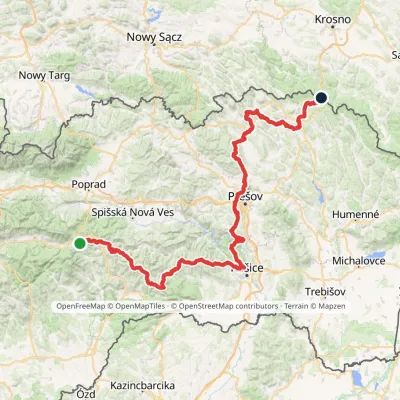 HardMulti-dayMarkedPred Čuntavou Dukliansky PassElevation profile227–1 293 m280.7 kmascent 8 346 munder 1 km from Ondava River
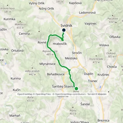 ModerateOne-dayMarkedSvidník BaňaElevation profile222–591 m17.1 kmascent 447 m≈ 5 h walkingunder 1 km from Ondava River
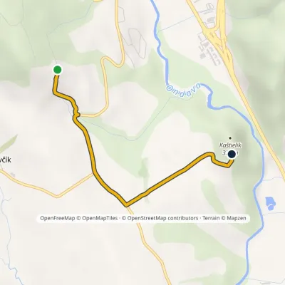 EasyOne-dayMarkedLesík KaštielikElevation profile269–337 m2.8 kmascent 45 m≈ 45 min walking2 km from Ondava River
Nearby attractions
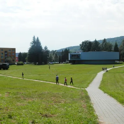 MuseumMilitary History Museum in SvidníkSvidníkunder 1 km from Ondava RiverThe Military History Museum in Svidník (Vojenské historické múzeum – Múzejné oddelenie Svidník) is a branch of the Slovak Military History Museum, which belongs to the...
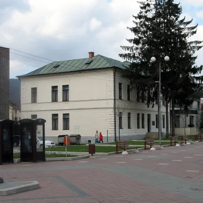 MuseumMuseum of Ukrainian Culture in SvidníkSvidníkunder 1 km from Ondava RiverThe Museum of Ukrainian Culture (Múzeum ukrajinskej kultúry) in Svidník is Slovakia's oldest specialised museum of a national minority and the main place of memory of...
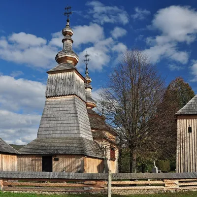 ChurchWooden Church of St Michael the Archangel, LadomirováLadomirová5.2 km from Ondava RiverOn its edge, behind a wooden fence with a little shingle roof, stands the Greek Catholic Church of St Michael the Archangel — one of the architecturally most valuable...
Craft nearby
All craft places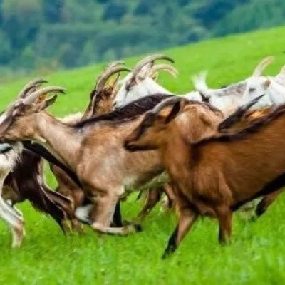 Cheese dairies & pasturesFIGA Organic Goat Cheese Farm, Mszana near DuklaMszana21 km from Ondava RiverThe FIGA organic family farm in the Lemko village of Mszana near Dukla is one of Poland's oldest goat cheese dairies.
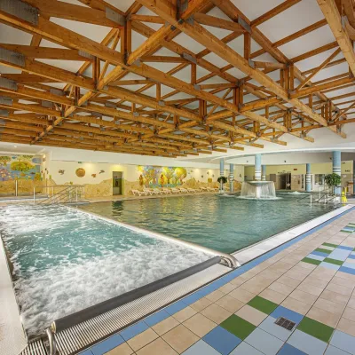 Water parks & thermal poolsBardejovské Kúpele: Wellness Spa Ozón and summer poolBardejov21 km from Ondava RiverBardejovské Kúpele is one of Slovakia’s oldest spas, a part of the town of Bardejov about 5 km from its centre, in a valley under the Magura massif that shelters it...
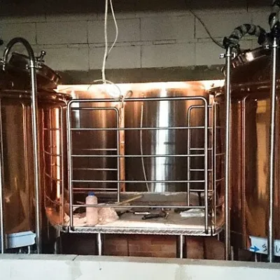 Craft beer & breweriesBrowar Dukla: craft brewery and brewpub on Dukla market squareDukla29 km from Ondava RiverDukla is an old small town at the foot of Mount Cergowa, on the historic trade route from Poland to Hungary over the Dukla Pass.
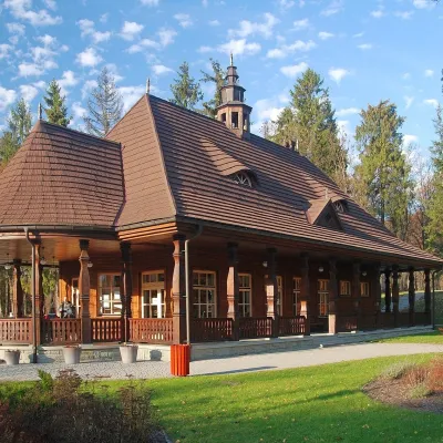 Water parks & thermal poolsWysowa-Zdrój spa: pump room, Franciszek and Henryk watersWysowa-Zdrój31 km from Ondava RiverWysowa-Zdrój is a quiet spa at the source of the Ropa river in the Beskid Niski, at 500–550 m, 20 km from Krynica-Zdrój and 25 km from Bardejovské Kúpele in Slovakia.
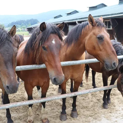 Horse ridingGładyszów Hucul Horse Stud, RegietówGładyszów32 km from Ondava RiverThe "Gładyszów" Hucul Horse Stud (Stadnina Koni Huculskich „Gładyszów”) in the Lemko village of Regietów is one of the largest places in the world where Hucul ponies...
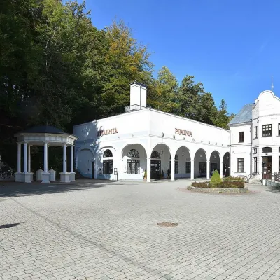 Water parks & thermal poolsIwonicz-Zdrój: mineral-water pump room, pool and salt caveIwonicz-Zdrój33 km from Ondava RiverIwonicz-Zdrój is the largest and oldest spa in the Podkarpackie region, a quiet little town in wooded hills south of Krosno, on the threshold of the Low Beskids.
